
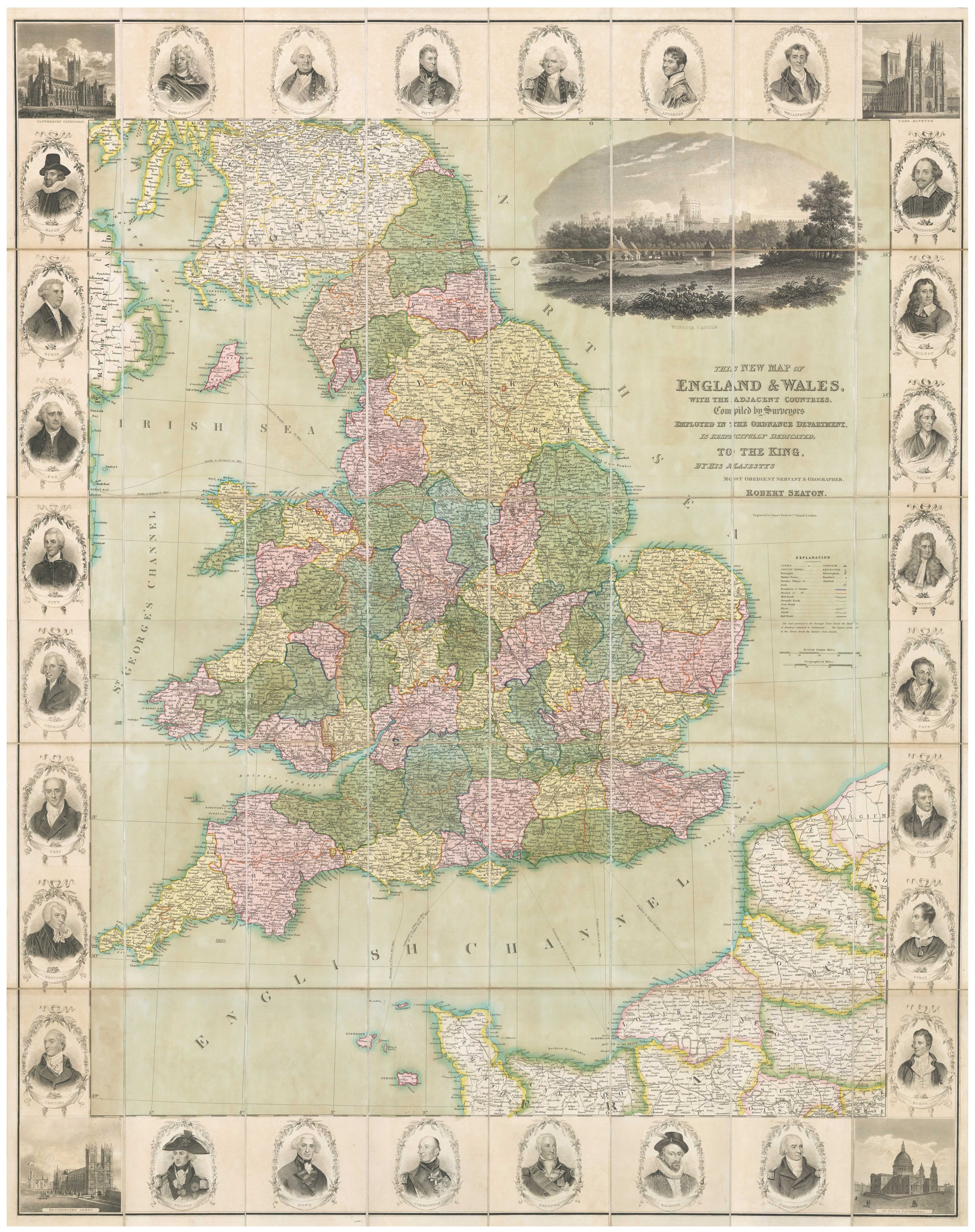


A decorative wall map of England & Wales with panelled borders
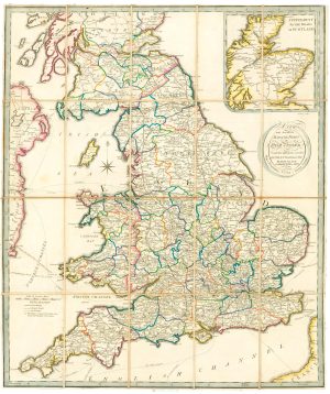
This New Map of England and Wales, with the Adjacent Countries, Compiled by Surveyors in the Ordnance Department, is Respectfully Dedicated to the King, by his Majestys Most Obedient Servant and Geographer, Robert Seaton.
London, James Neele & Co, c.1835. Fine original colour. Dissected and laid on linen as issued, total 1170 x 940mm, with slipcase.
£1,400.00
1 in stock
x
Question About This Item?
A decorative wall map of England & Wales with panelled borders & SEATON, Robert.Stock #: 25898"*" indicates required fields
Similar to Sell?
Add to Wishlist
Add to Wishlist
Description
A detailed map of England and Wales in fine original colour, with regional boundaries, roads, railways, settlements and topography marked. Dedicated to William IV, it has a large vignette of Windsor Castle above the title, views of Westminster Abbey, York Minster, St Paul's and Canterbury Cathedral in the four corners, and 28 portraits of British worthies in the borders. Along the top are soldiers, including Marlborough and Wellington; down the left are politicians, including Fox, Pitt and Canning; down the right are intellectuals, including Shakespeare, Isaac Newton, Alexander Pope, Lord Byron, Walter Scott and Robert Burns.
Condition:
A good example.Related products
-

A large folding map of England and Wales in fine colour
FADEN, William. Date: 1830Stock #: 21859 £500.00 -

An 17th century two-sheet map of England and Wales
CORONELLI, Vincenzo Maria. Date: 1691Stock #: 21517 £750.00 -

A miniature map of North West England and Wales
HONDIUS, Jodocus II. Date: 1639Stock #: 22148 £80.00 -

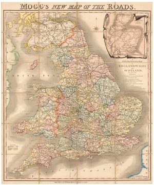
A colourful Georgian map of the roads of England & Wales
MOGG, Edward Slatford. Date: 1822Stock #: 22986 £250.00 -

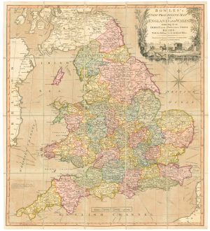
A road map of England and Wales
BOWLES, Carington. Date: 1800Stock #: 24719 £300.00 -

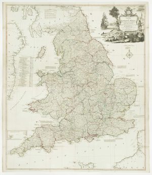
A four-sheet wall map of England and Wales
KITCHIN, Thomas. Date: 1792Stock #: 16009 £1,600.00 -

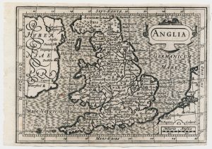
A scarce miniature map of England and Wales
ROGIERS, Salomon. Date: 1639Stock #: 22084 £160.00 -

A scarce road map of England and Wales published in Dublin
ALLEN, Mark. Date: 1832Stock #: 24777 £450.00 -

A 17th century map of England and Wales from a pocket atlas
JANSSON, Jan. Date: 1630Stock #: 26662 £180.00
Items by the same author
Add to Wishlist
Add to Wishlist
