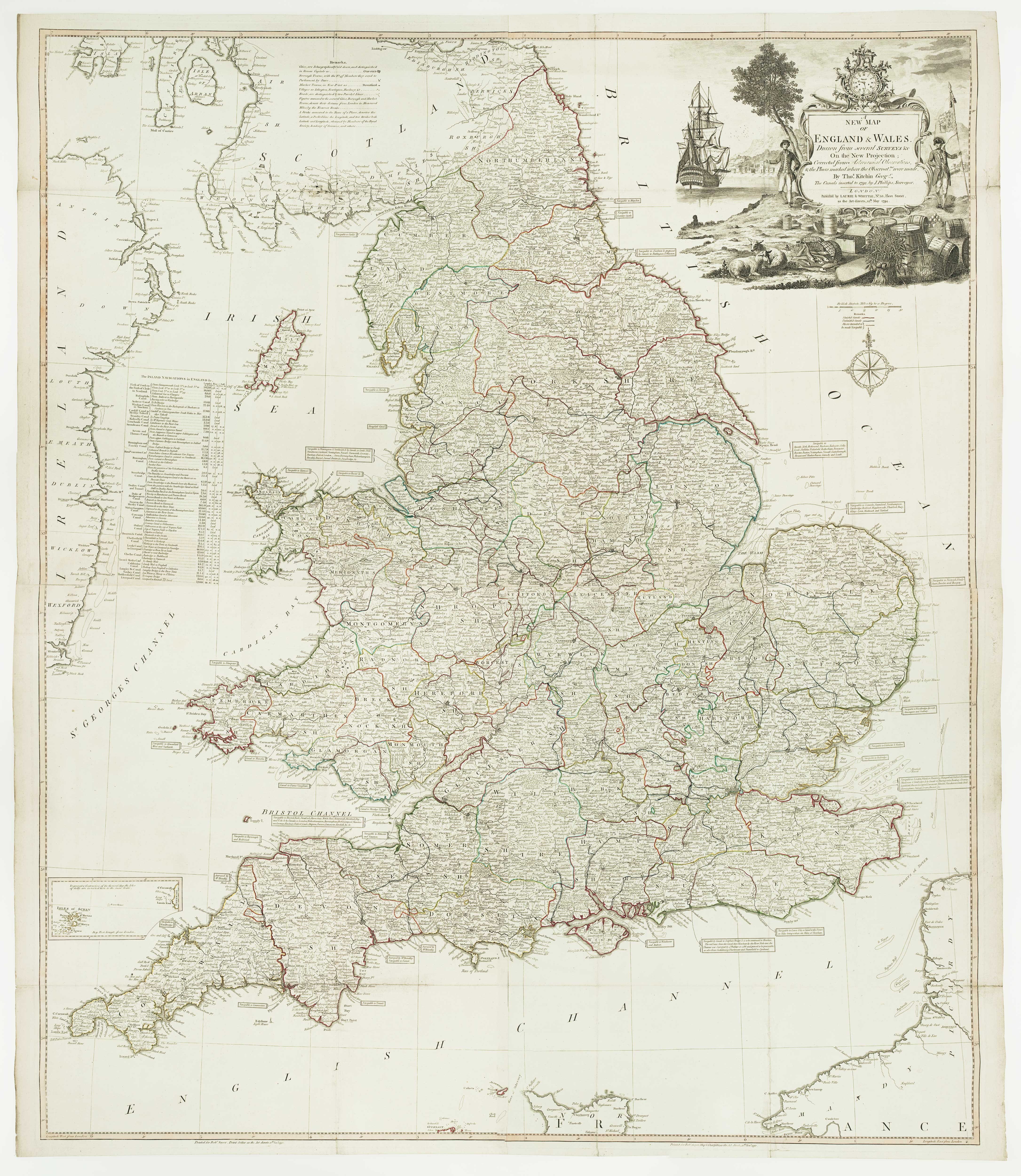


A four-sheet wall map of England and Wales
A New Map of England & Wales, Drawn from several Surveys on the New Projection; Corrected from Astronomical Observations, and the Places marked where the Observat.ns were made... The Canals inserted in 1792 by J.Phillips.
London: Laurie & Whittle, 1794. Original outline colour. Four sheets conjoined, total 1280 x 1080mm.
£1,600.00
1 in stock
x
Question About This Item?
A four-sheet wall map of England and Wales & KITCHIN, Thomas.Stock #: 16009"*" indicates required fields
Similar to Sell?
Add to Wishlist
Add to Wishlist
Description
A wall map of England and Wales, with the roads and canals marked. The elaborate title cartouche represents: the country's wealth, with sheep, fish and a chest of coins; and military & naval superiority, with a solider, sailor and a clock, the essential navigational tool.
Condition:
Minor repairs to binding folds.Related products
-

An 17th century two-sheet map of England and Wales
CORONELLI, Vincenzo Maria. Date: 1691Stock #: 21517 £750.00 -

A separate-issue road map of England
VISSCHER, Nicolas. Date: 1694Stock #: 10557 £480.00 -

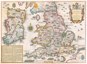
An early issue of Speed’s map of the Invasions of England
SPEED, John. Date: 1627Stock #: 26550 £2,400.00 -

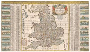
A scarce two-sheet map of England and Wales with side panels
WILLDEY, George. Date: 1715Stock #: 24165 £3,000.00 -
![England. by ALEPH [HARVEY, William]., 1869.](data:image/svg+xml,%3Csvg%20xmlns='http://www.w3.org/2000/svg'%20viewBox='0%200%20300%20350'%3E%3C/svg%3E)
An allegorical map of map of England
ALEPH [HARVEY, William]. Date: 1869Stock #: 23751 £750.00 -
![[Glamorgan; Monmouthshyre; Parte of Breknok Shere.] by DRAYTON, Michael., 1612.](data:image/svg+xml,%3Csvg%20xmlns='http://www.w3.org/2000/svg'%20viewBox='0%200%20300%20240'%3E%3C/svg%3E)
The most decorative map from Drayton’s fantastical ‘Poly-Olbion’
DRAYTON, Michael. Date: 1612Stock #: 25842 £550.00 -

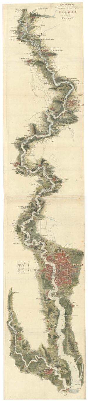
Tombleson’s famous map of the Thames
TOMBLESON, William. Date: 1840Stock #: 26701 £1,100.00 -

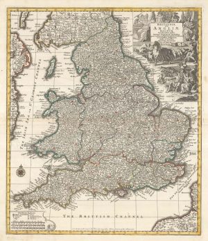
England divided into the Saxon Heptarchy
SEUTTER, Matthaus. Date: 1740Stock #: 22311 £380.00 -

A 17th century map of England and Wales from a pocket atlas
JANSSON, Jan. Date: 1630Stock #: 26662 £180.00
![England. by ALEPH [HARVEY, William]., 1869.](https://altea-gallery-cdn.s3.eu-west-2.amazonaws.com/wp-content/uploads/2025/05/17104625/alteashop_23751-300x350.jpg)
![[Glamorgan; Monmouthshyre; Parte of Breknok Shere.] by DRAYTON, Michael., 1612.](https://altea-gallery-cdn.s3.eu-west-2.amazonaws.com/wp-content/uploads/2025/10/28153440/alteashop_25842-300x240.jpg)
Items by the same author
Add to Wishlist
Add to Wishlist
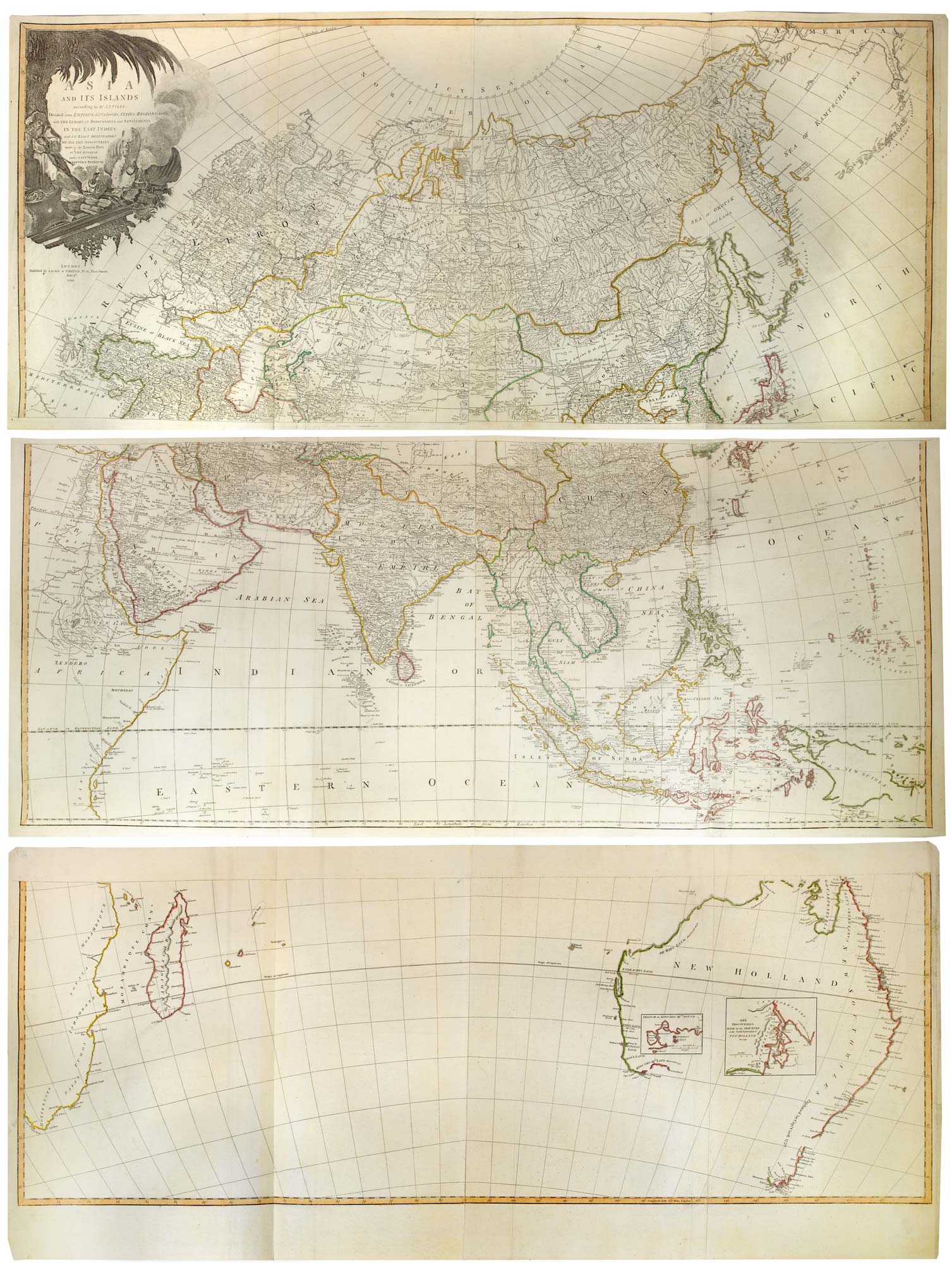
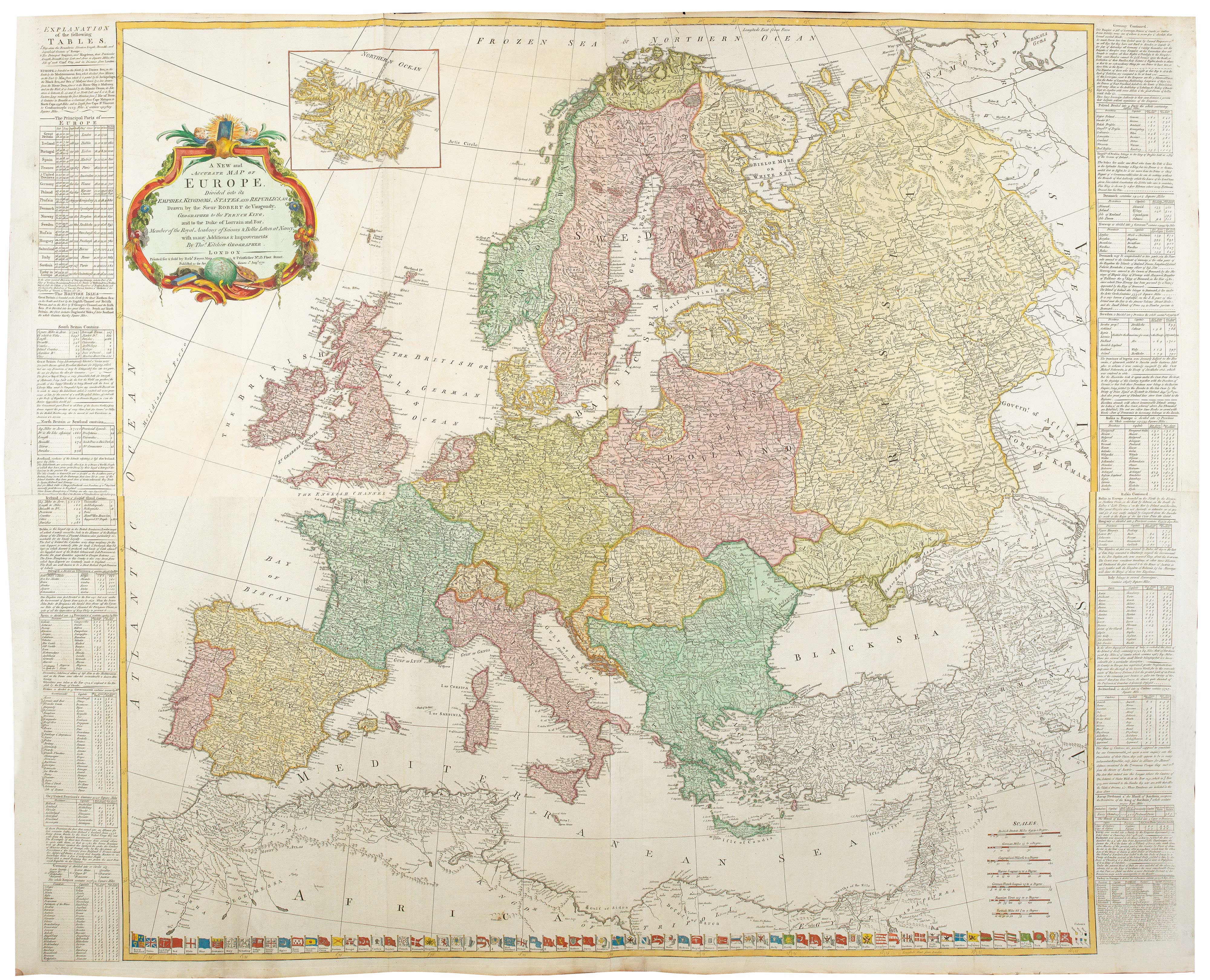
A six-sheet wall map of Asia and Australia at the end of the 18th century
KITCHIN, Thomas. Date: 1799 Stock #: 26177 £3,600.00
Add to Wishlist
Add to Wishlist
Add to Wishlist
Add to Wishlist
Add to Wishlist
Add to Wishlist
Add to Wishlist
Add to Wishlist