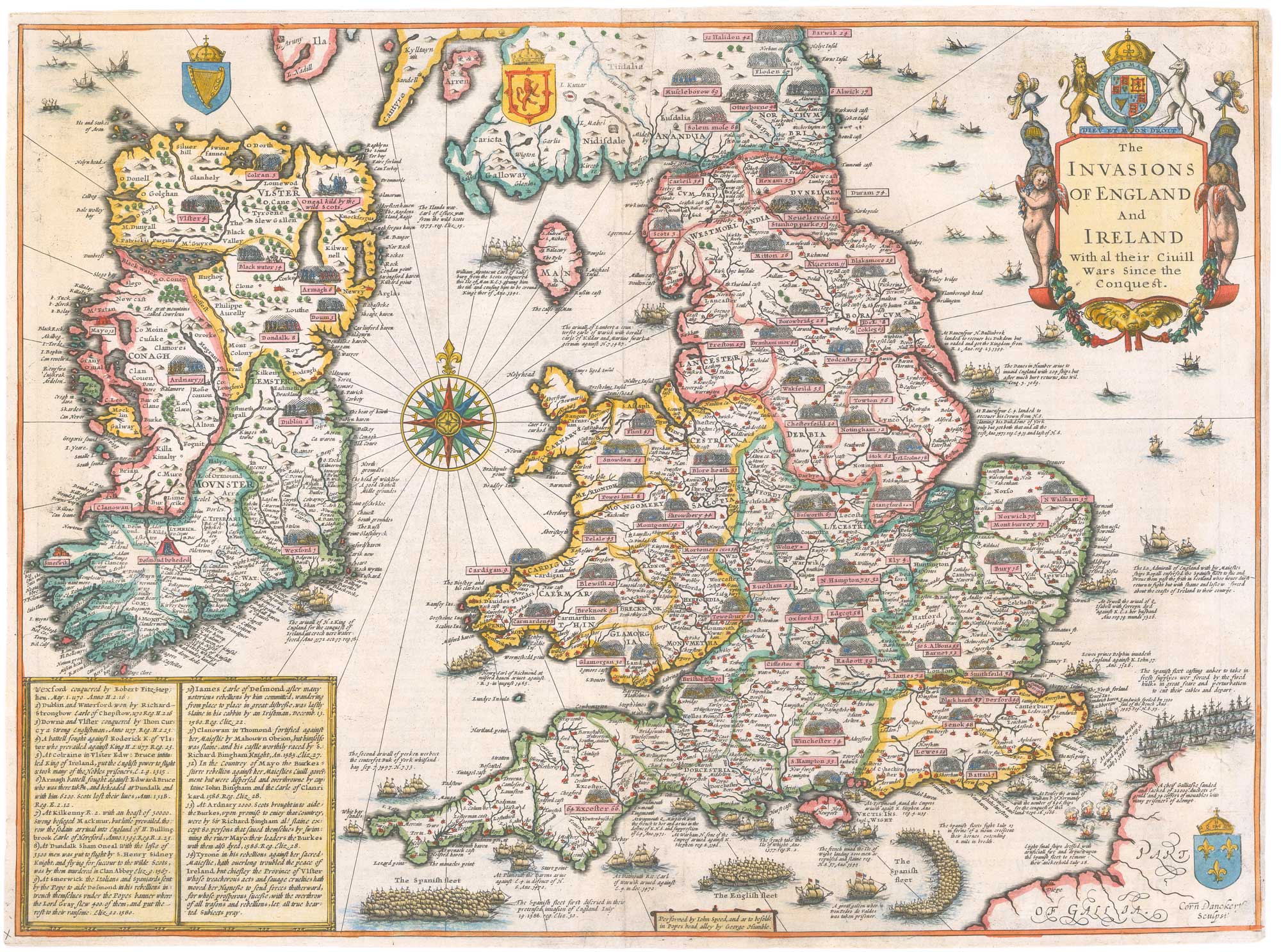


An early issue of Speed’s map of the Invasions of England
The Invasions of England & Ireland with al their Civill Wars Since the Conquest.
London: George Humble, 1627. Coloured,. 385 x 510mm.
£2,400.00
1 in stock
x
Question About This Item?
An early issue of Speed’s map of the Invasions of England & SPEED, John.Stock #: 26550"*" indicates required fields
Similar to Sell?
Add to Wishlist
Add to Wishlist
Description
A very fine and dark impression of this fascinating map of England, Wales and Ireland, showing the sites of battles 1066 - 1588, each with a little vignette scene. Of particular interest is the route of the Spanish Armada of 1588, from their entrance into the Channel, their crescent formation, their dispersal by the fireships and the trail of wrecks around the northern coasts. On the reverse is a companion text.
First issued in 1627, this map was engraved by Cornelius Danckerts from a prototype published by Speed c.1601 (of which Shirley notes only three known copies). It retains an obsolete form of the Isle of Man discarded by Speed in his map of 1611. It also holds a unique position in Speed's atlases, only appearing in volumes with the 'Theatre' and 'Prospect' combined: bound between the two were this map and four pages of accompanying text.
This example is a rare misprint: the text on the back has been printed upside-down!
Condition:
A few small repairs.References:
SHIRLEY: 397 (see 239 for the prototype).Related products
-

The Ortelius/Lhuyd map of England
ORTELIUS, Abraham. Date: 1584Stock #: 22262 £1,250.00 -

A leaf of Saxton’s ‘Traveller’s Guide’ of England and Wales
SAXTON, Christopher. Date: 1700Stock #: 24050 £900.00 -

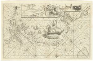
An English 17th century sea-chart of Dover to Spurn Head with the River Thames
COLLINS, Greenvile. Date: 1740Stock #: 25078 £1,500.00 -

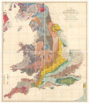
A revised edition of an important geological map of England and Wales
GREENOUGH, George Bellas. Date: 1820Stock #: 26103 £14,000.00 -

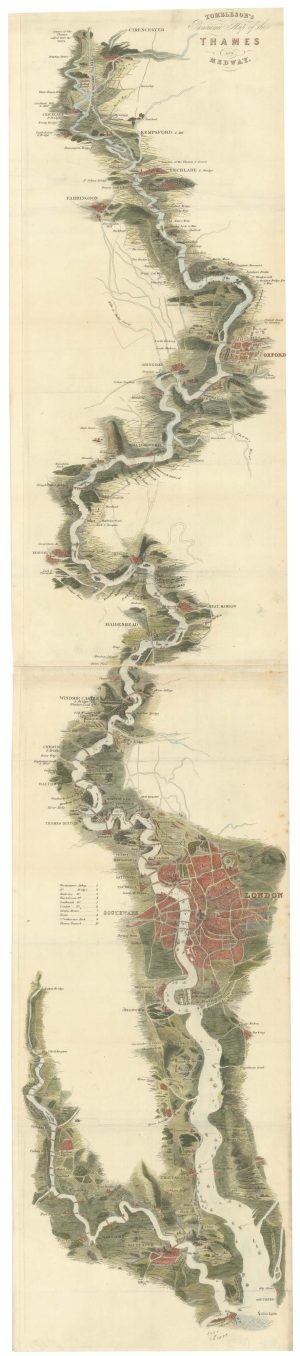
Tombleson’s famous map of the Thames
TOMBLESON, William. Date: 1840Stock #: 26701 £1,100.00 -

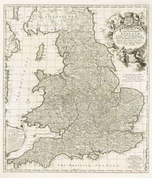
A separate-issue road map of England
VISSCHER, Nicolas. Date: 1694Stock #: 10557 £480.00 -

A Victorian reprint of Gillray’s famous caricature map of England
GILLRAY, James. Date: 1851Stock #: 25900 £350.00 -

An early woodcut map of England
MUNSTER, Sebastian. Date: 1546Stock #: 26626 £1,000.00 -
![England. by ALEPH [HARVEY, William]., 1869.](data:image/svg+xml,%3Csvg%20xmlns='http://www.w3.org/2000/svg'%20viewBox='0%200%20300%20350'%3E%3C/svg%3E)
An allegorical map of map of England
ALEPH [HARVEY, William]. Date: 1869Stock #: 23751 £750.00
![England. by ALEPH [HARVEY, William]., 1869.](https://altea-gallery-cdn.s3.eu-west-2.amazonaws.com/wp-content/uploads/2025/05/17104625/alteashop_23751-300x350.jpg)
Items by the same author
Add to Wishlist
Add to Wishlist
Add to Wishlist
Add to Wishlist
Add to Wishlist
Add to Wishlist

Add to Wishlist
Add to Wishlist
Add to Wishlist
Add to Wishlist

The first atlas map of the world to show California as an island
SPEED, John. Date: 1655 Stock #: 26500 £13,000.00
Add to Wishlist
Add to Wishlist