

Speed’s famous map of Lancashire
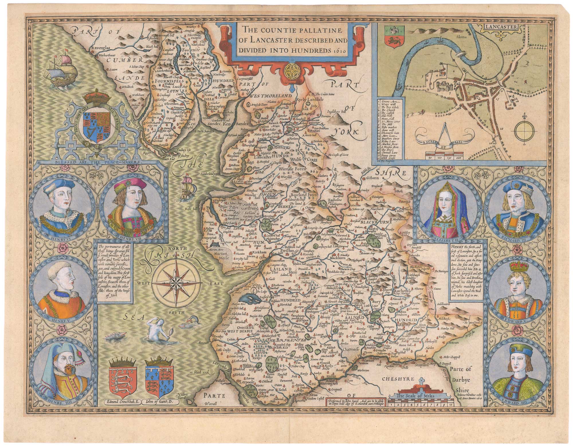
The Countie Pallatine of Lancaster Described and Divided into Hundreds 1610.
London: William Humble, 1646. Coloured. 385 x 510mm.
£1,700.00
1 in stock
x
Question About This Item?
Speed’s famous map of Lancashire & SPEED, John.Stock #: 26446"*" indicates required fields
Similar to Sell?
Add to Wishlist
Add to Wishlist
Description
A fine example of one of the most decorative maps of Lancashire, engraved by Jodocus Hondius in 1610 for John Speed's county atlas, the 'Theatre of the Empire of Great Britain'. It has an inset plan of Lancaster and portraits of the members of the royal houses of York and Lancaster, whose feud caused the 'War of the Roses'. An English text on the reverse gives a history of the county, with a gazeteer.
Condition:
A good example.Related products
-

Plan of Manchester & Salford
Anonymous. Date: 1810Stock #: 15436 £160.00 -

A scarce bird’s-eye view of Liverpool in the mid 19th century
WALTER, H. Date: 1840Stock #: 20834 £1,200.00 -

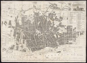
Scarce plan of Georgian Liverpool
FRANKS, James Henry Date: 1821Stock #: 22305 £800.00 -

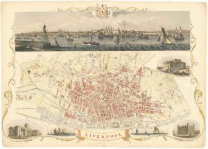
Highly decorative map of Liverpool with vignettes
TALLIS, John. Date: 1851Stock #: 24113 £550.00 -

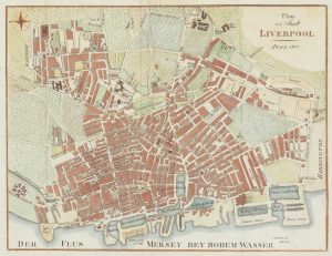
Liverpool in 1810
Anonymous. Date: 1810Stock #: 19546 £140.00 -

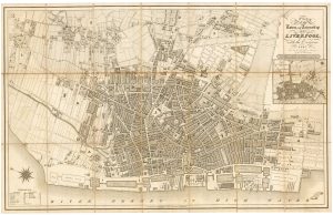
A detailed plan of early 19th century Liverpool
AUSTEN, Henry. Date: 1833Stock #: 20639 £575.00 -

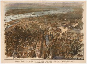
A balloon-view of Victorian Liverpool in full colour
BREWER, H.W. & WYLLIE, W.L. Date: 1885Stock #: 23922 £450.00 -

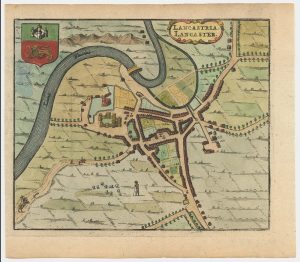
A 17th century townplan of Lancaster
HERMANNIDES, Rutger. Date: 1661Stock #: 22773 £150.00 -

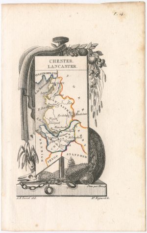
Miniature map of Cheshire and Lancashire
PERROT, Aristide Michel. Date: 1828Stock #: 23139 £125.00
Items by the same author
Add to Wishlist
Add to Wishlist
Add to Wishlist
Add to Wishlist

Add to Wishlist
Add to Wishlist
Add to Wishlist
Add to Wishlist

The first atlas map of the world to show California as an island
SPEED, John. Date: 1655 Stock #: 26500 £13,000.00
Add to Wishlist
Add to Wishlist
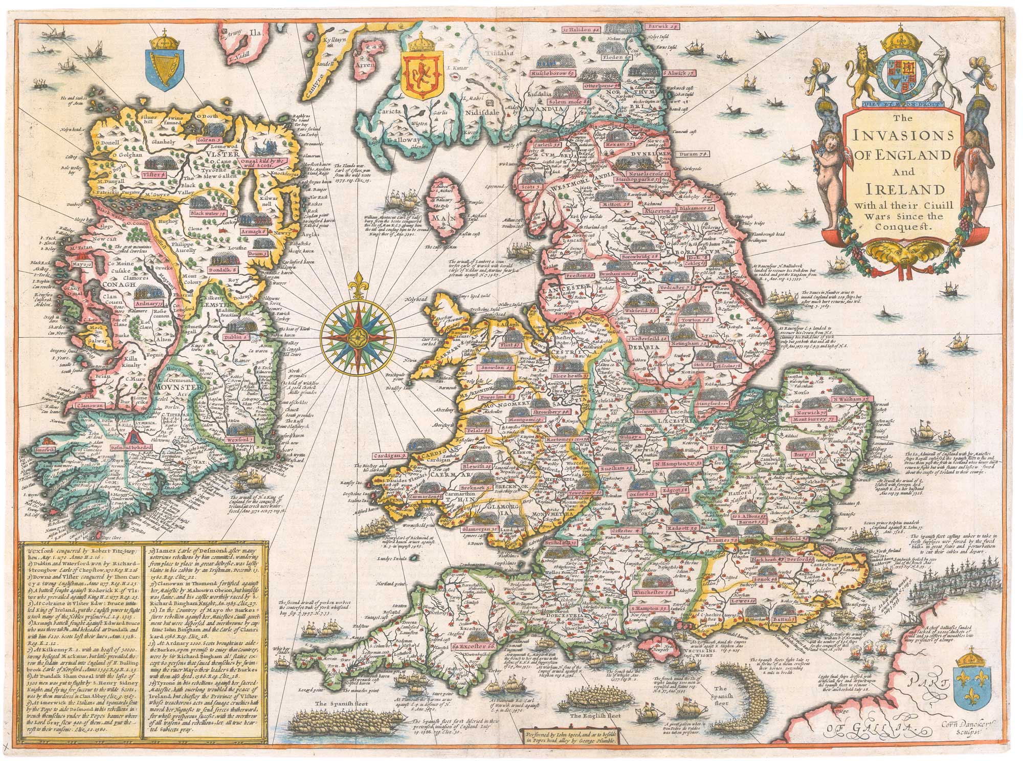
An early issue of Speed's map of the Invasions of England
SPEED, John. Date: 1627 Stock #: 26550 £2,400.00
Add to Wishlist
Add to Wishlist