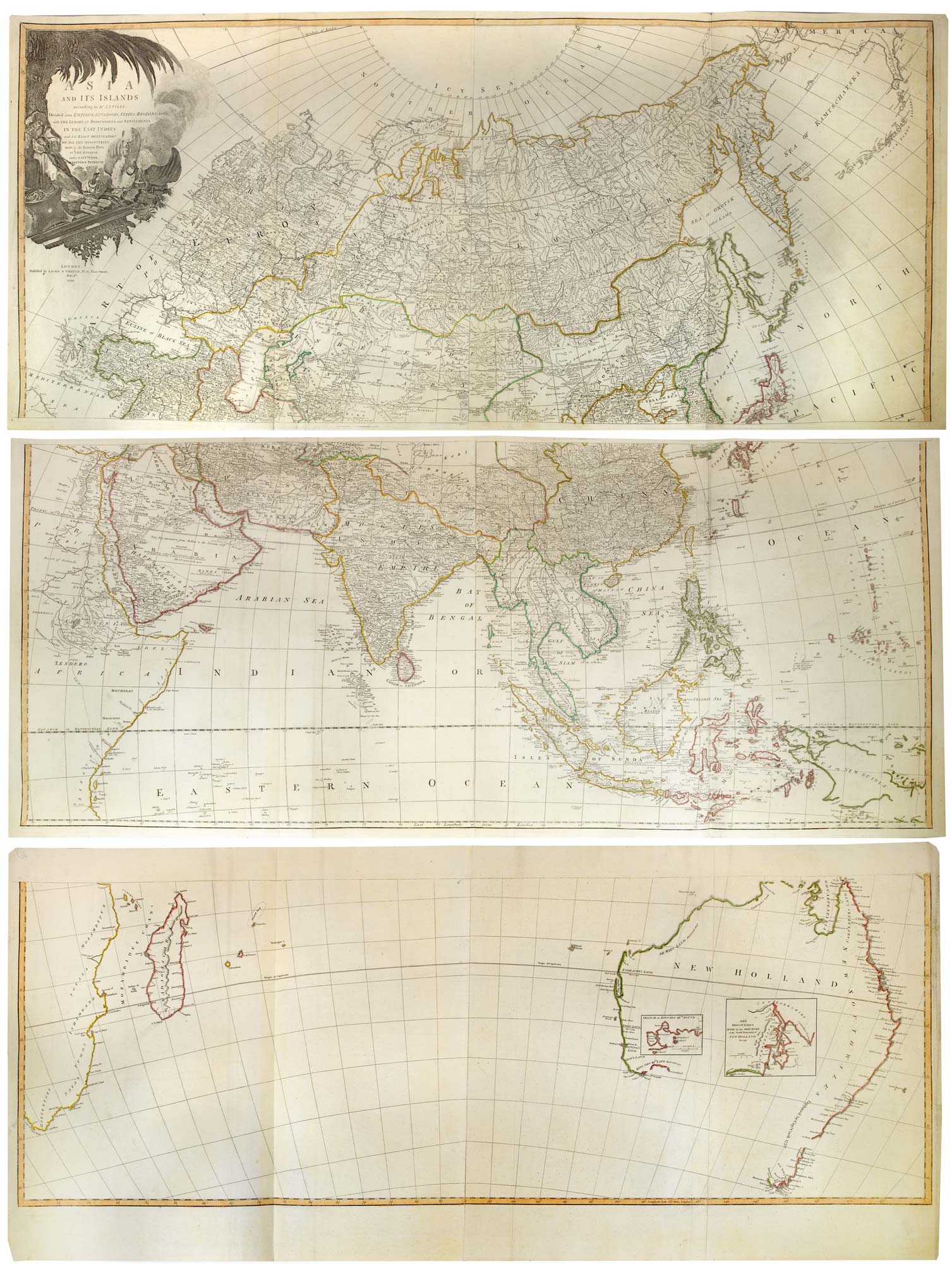


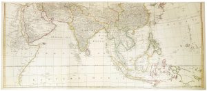
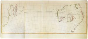
A six-sheet wall map of Asia and Australia at the end of the 18th century
Asia and Its Islands according to d'Anville; Divided into Empires, Kingdoms, States, Regions, &c.a with the European Possessions and Settlements int he Eas Indies and An Exact Delineation of all the Discoveries made in the Eastern Parts by the English under Capt.ns Cook, Vancouver & Peyrouse.
London, Laurie & Whittle, 1799. Original outline colour. 6 sheets joined in pairs, total printed area 1040 x 1430mm.
£3,600.00
1 in stock
x
Question About This Item?
A six-sheet wall map of Asia and Australia at the end of the 18th century & KITCHIN, Thomas.Stock #: 26177"*" indicates required fields
Similar to Sell?
Add to Wishlist
Add to Wishlist
Description
A rare edition map of Asia and Australia, showing the discoveries of European explorers in the east, including James Cook, George Vancouver and the French explorer La Perouse. It is decorated with a large illustrated title cartouche.
This was originally a four-sheet map of Asia, engraved by Thomas Kitchin and first published by Robert Sayer in 1787. This example has the rare additional two sheets, extending the map south, so showing the Cape of Good Hope, Madagascar and Australia, prompted by interest in the British colonalisation in New South Wales.
Two insets show Vancouver's mapping of King George the Third's Sound (Mammang Koort) in 1791 and Adventure Bay as mapped by John Hayes on the 'Duke of Clarence' in 1793 (not 1791 as written).
Condition:
A good example.Related products
-

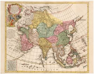
An 18th century map of Asia
LOTTER, Tobias Conrad. Date: 1770Stock #: 25861 £550.00 -

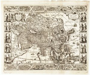
An unrecorded carte-à-figures map of Asia
TODESCHI, Pietro. Date: 1670Stock #: 24120 £5,000.00 -

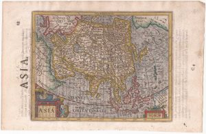
An English edition of Hondius’s small-format map of Asia
HONDIUS, Jodocus. Date: 1635Stock #: 22451 £280.00 -

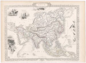
Mid-19th century map of Asia with decorative vignettes
TALLIS, John. Date: 1851Stock #: 23536 £185.00 -

17th century miniature map of Asia
FER, Nicolas de. Date: 1685Stock #: 17837 £220.00 -
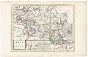
18th century English map of Asia
MOLL, Herman. Date: 1732Stock #: 25670 £300.00 -

A miniature map of Asia
SANSON, Nicolas. Date: 1735Stock #: 23409 £180.00 -

Miniature map of Asia with fine colour
WEIGEL, Christoph. Date: 1738Stock #: 17781 £195.00 -

De Fer’s large-format map of Asia
FER, Nicolas de. Date: 1700Stock #: 25679 £750.00
Items by the same author
Add to Wishlist
Add to Wishlist
Add to Wishlist
Add to Wishlist
Add to Wishlist
Add to Wishlist
Add to Wishlist
Add to Wishlist
Add to Wishlist
Add to Wishlist