
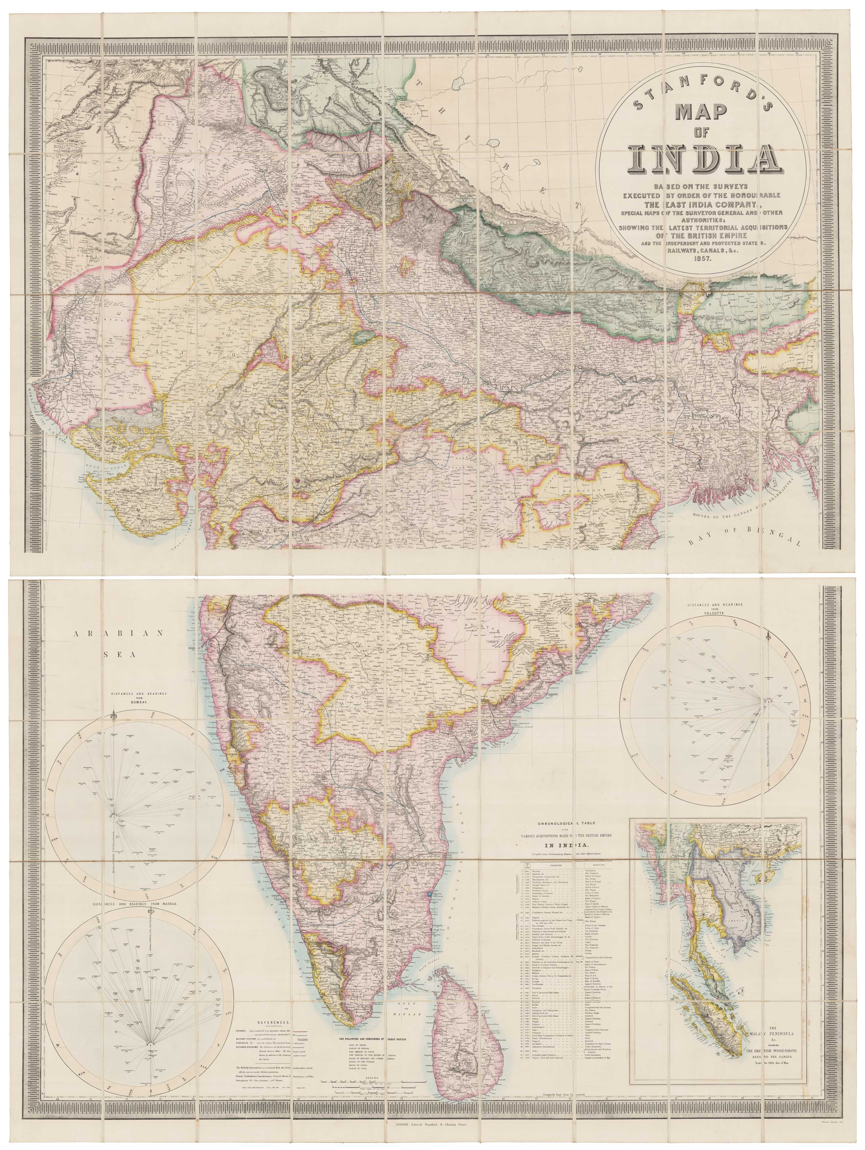


One of the last maps of India under the East India Company
Stanford's map of India Based on the Surveys Executed by Order of the Honourable the East India Company, Special Maps of the Surveyor General and Other Authorities; showing the Latest Territorial Acquisitions of the British Empire and the Independent and Protected States, Railways, Canals, &c. 1857.
London: Edward Stanford, 1857. Coloured lithographic map, dissected and laid on linen in two sections, each c. 830 x 1270mm. With original slipcase with publisher's title label.
x
Question About This Item?
One of the last maps of India under the East India Company & STANFORD, Edward.Stock #: 18158"*" indicates required fields
Similar to Sell?
Add to Wishlist
Add to Wishlist
Description
A large and detailed map of India and Sri Lanka, with the states coloured to mark their independence or the European country that controlled them. Three large circular diagrams show the distance and bearing of cities from Bombay, Madras and Calcutta respectively. An inset map bottom right is titled 'The Malay Peninsula &c. showing the British Possessions Beyond the Ganges'. A list gives the dates of acquisitions by the British Empire from Bombay in 1661 to Tanjore in 1856.
The map is an act of hubris by the East India Company, proclaiming their increasing control over India. However by May in the year of publication, the India Mutiny, also known as the First War of Independence, was started by Sepoys in Meerut and by the end of the following year the Company was no more, replaced by direct control by the British government.
Condition:
A good example.Related products
-

Pictorial map of Bombay (Mumbai)
TEJ BROTHERS. Date: 1967Stock #: 26065 £300.00 -

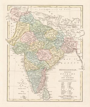
A map of the administration of India under the M
WILKINSON, Robert. Date: 1815Stock #: 25467 £185.00 -

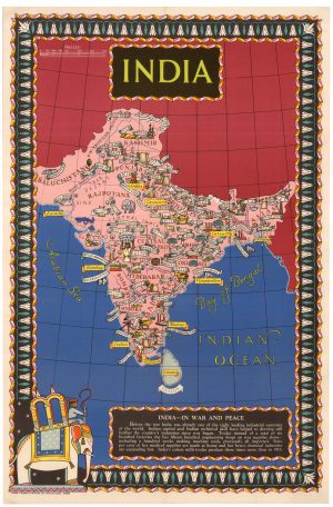
A propaganda poster of India during the Second World War
Anonymous. Date: 1944Stock #: 25801 £1,500.00 -

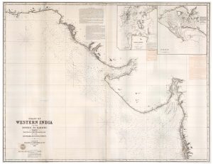
A two-sheet sea chart of the coast between Mumbai and Karachi
IMRAY, James & Son. Date: 1867Stock #: 23377 £1,800.00 -

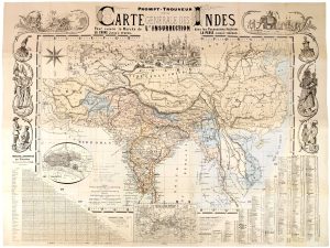
A French account of the Indian Rebellion of 1857
HUBERT, H. & BOUQUILLARD. Date: 1857Stock #: 26250 -

A map of the area surrounding Bombay
KITCHIN, Thomas. Date: 1759Stock #: 22950 £140.00 -

An 18th century playing-card map of India
RABATTA, Augusto & BAILOU, Jean Baptist de. Date: 1779Stock #: 12984 £400.00 -

Mid-19th century map of Northern India with decorative vignettes
TALLIS, John. Date: 1851Stock #: 21794 £190.00 -

Benjamin Lacam’s long legal battle with the East India Company
HANSARD, Luke. Date: 1806Stock #: 23947 £900.00
Items by the same author
Add to Wishlist
Add to Wishlist
Add to Wishlist
Add to Wishlist
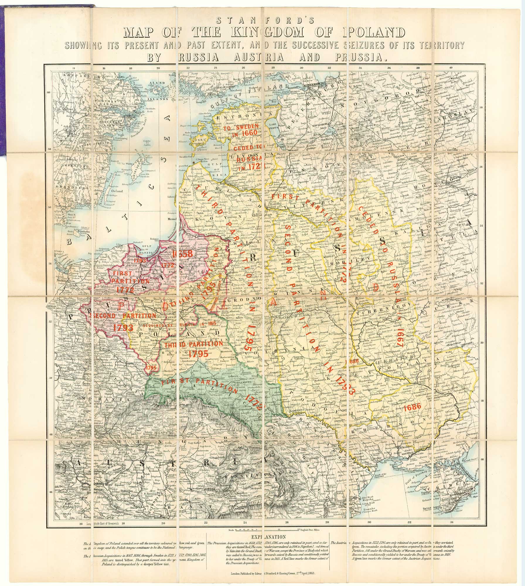
A map showing territorial losses suffered by Poland
STANFORD, Edward. Date: 1863 Stock #: 18823 £675.00
Add to Wishlist
Add to Wishlist
Add to Wishlist
Add to Wishlist
