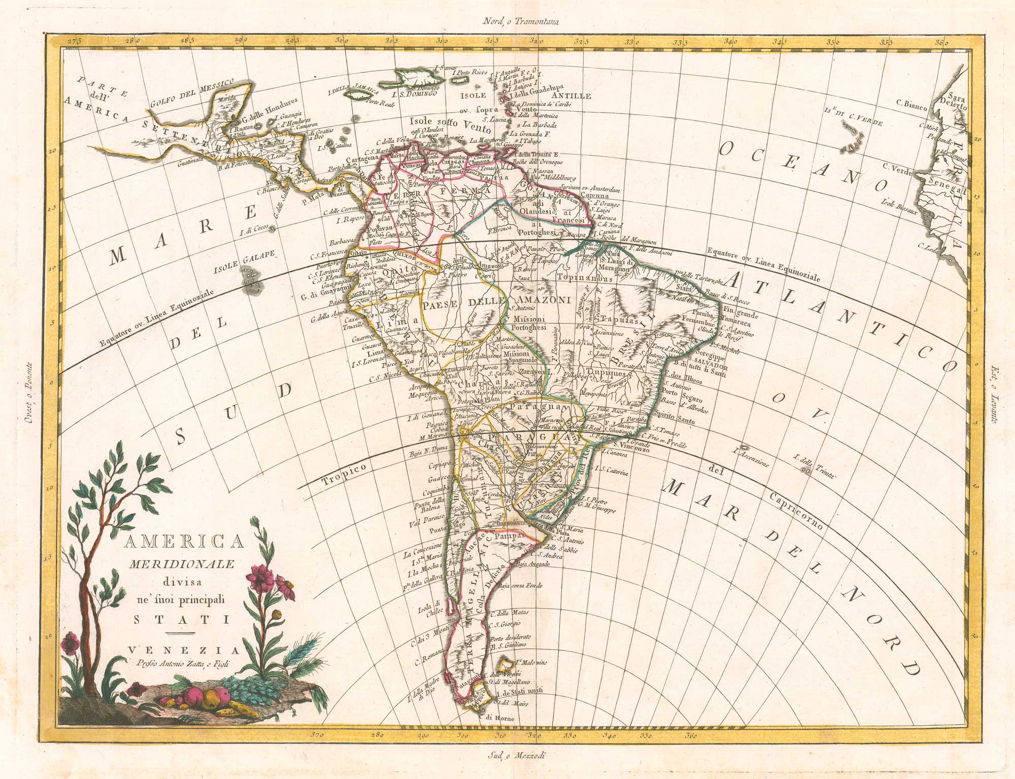


An 18th century map of South America
America Meridionale divisa ne' suoi principali stati.
Venice, c.1785. Original outline colour. 235 x 415mm.
£200.00
1 in stock
x
Question About This Item?
An 18th century map of South America & ZATTA, Antonio.Stock #: 26437"*" indicates required fields
Similar to Sell?
Add to Wishlist
Add to Wishlist
Description
An Italian map of South America, published in Zatta's 'Atlante Nuovissimo'. The decorative title cartouche features fruit and flowers.
Condition:
A good example.Related products
-

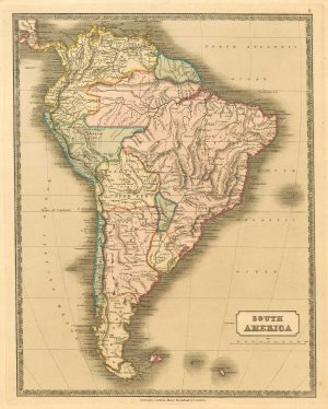
A mid-19th century map of South America
STUCCHI, Stanislao. Date: 1851Stock #: 20935 £325.00 -

A late 17th century map of South America
DELISLE, Guillaume. Date: 1690Stock #: 26365 £800.00 -

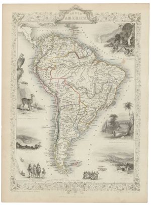
Mid 19th century map of South America with vignettes
TALLIS, John. Date: 1851Stock #: 21583 £220.00 -

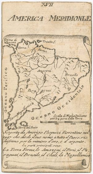
A very scarce Italian playing card of South America
Anonymous. Date: 1790Stock #: 24230 £450.00 -

A 17th century map of South America from a pocket atlas
JANSSON, Jan. Date: 1630Stock #: 26666 £240.00 -

A 16th century miniature map of South America
LANGENES, Barent. Date: 1599Stock #: 21253 £350.00 -

Mid-19th century map of South America
GELLATLY, John. Date: 1843Stock #: 19948 £130.00 -

A 16th century miniature map of South America
LANGENES, Barent. Date: 1599Stock #: 21254 £300.00 -
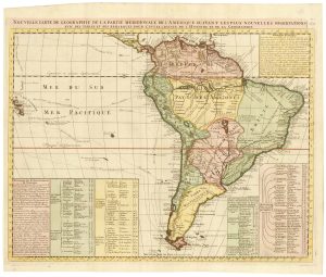
An 18th century map of South America
CHATELAIN, Henri Abraham. Date: 1718Stock #: 23261 £480.00
Items by the same author
Add to Wishlist
Add to Wishlist
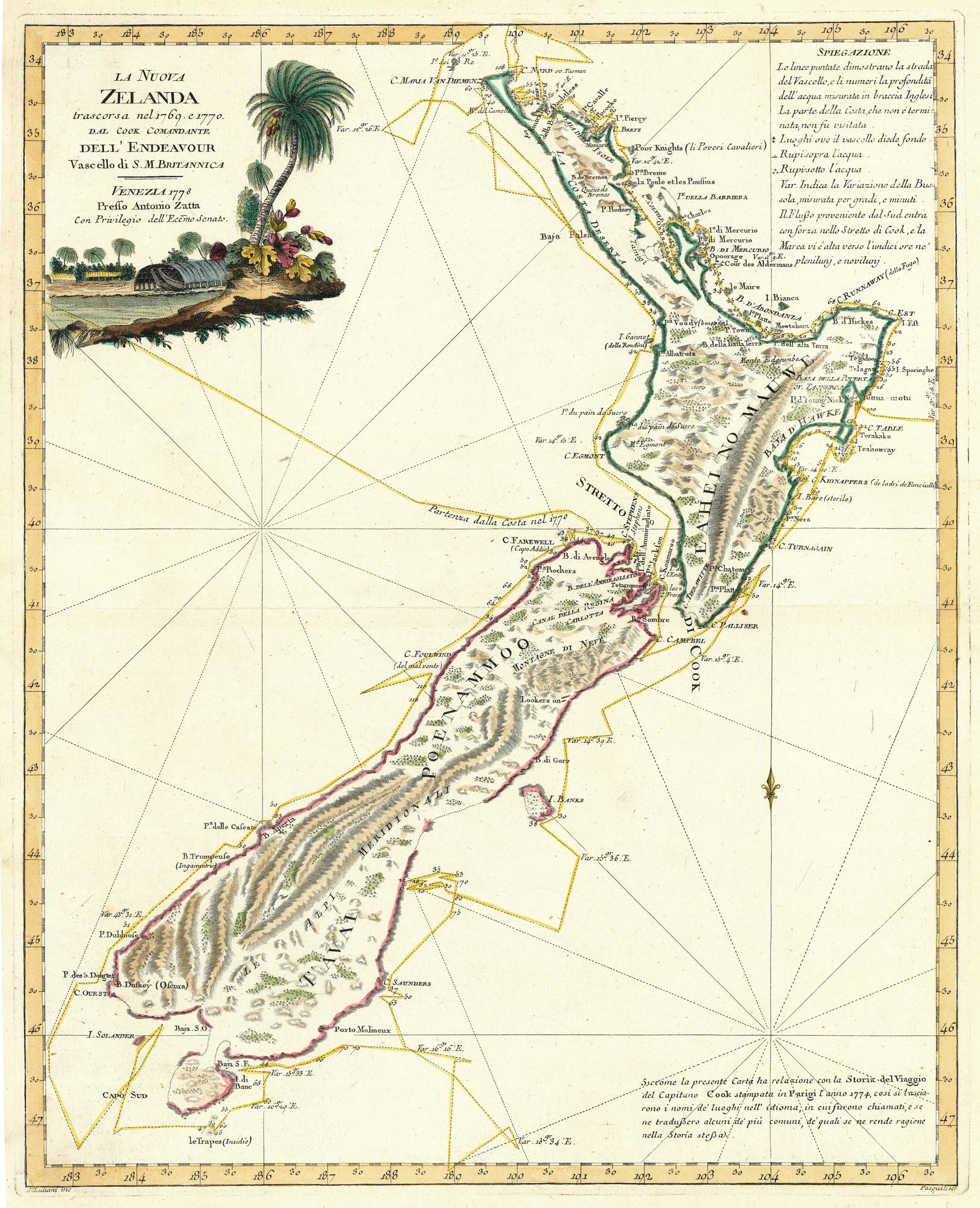
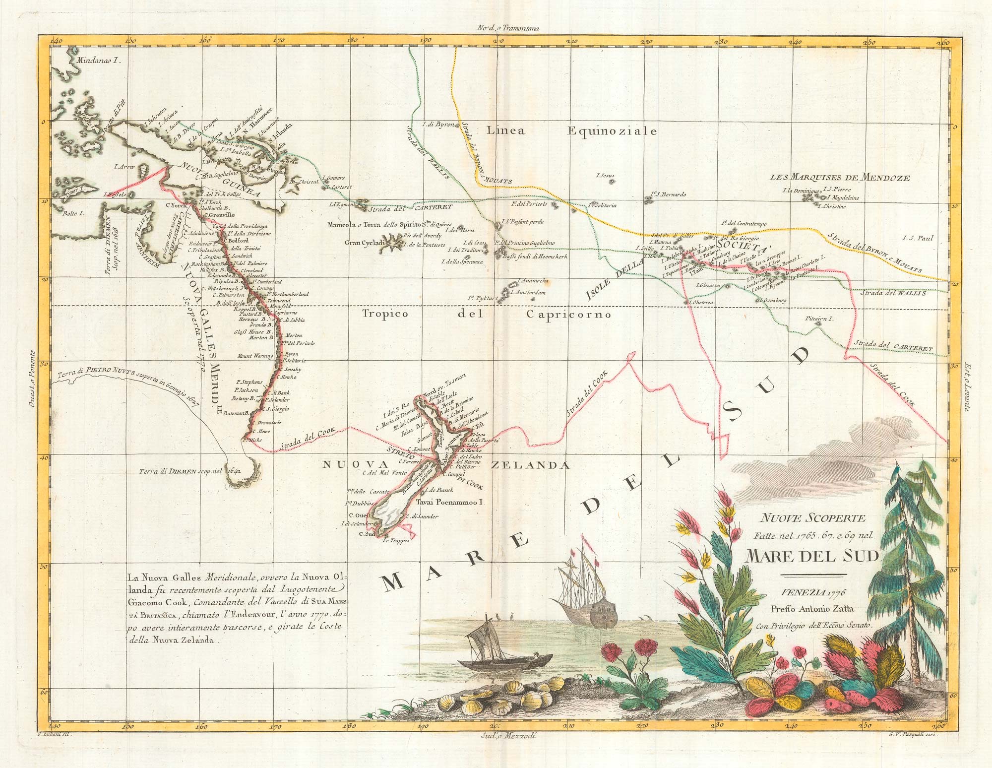
Zatta's important map showing Cook's charting of New Zealand
ZATTA, Antonio. Date: 1778 Stock #: 24746 £1,600.00
Add to Wishlist
Add to Wishlist
Add to Wishlist
Add to Wishlist
Add to Wishlist
Add to Wishlist
Add to Wishlist
Add to Wishlist
Add to Wishlist
Add to Wishlist