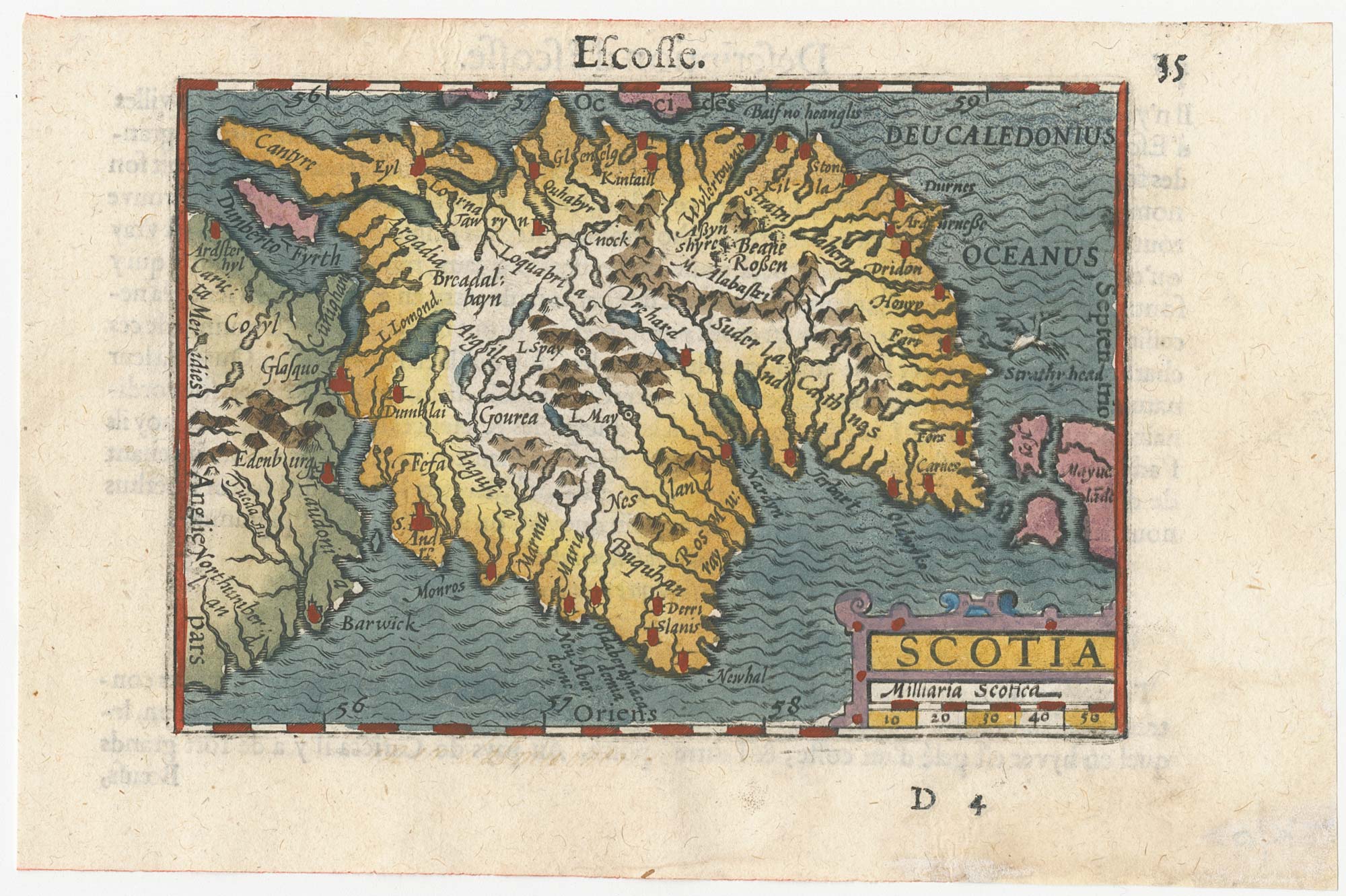
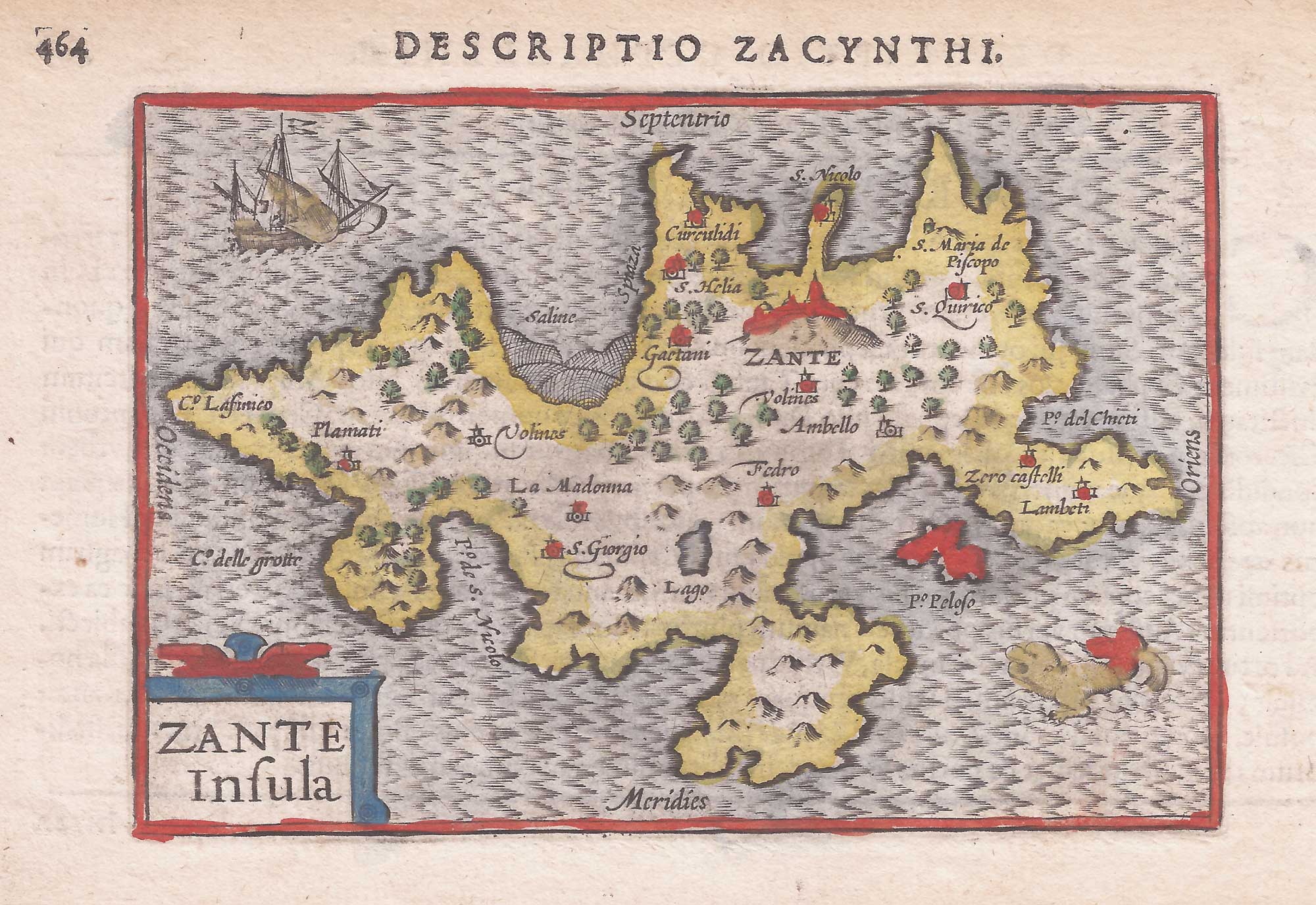
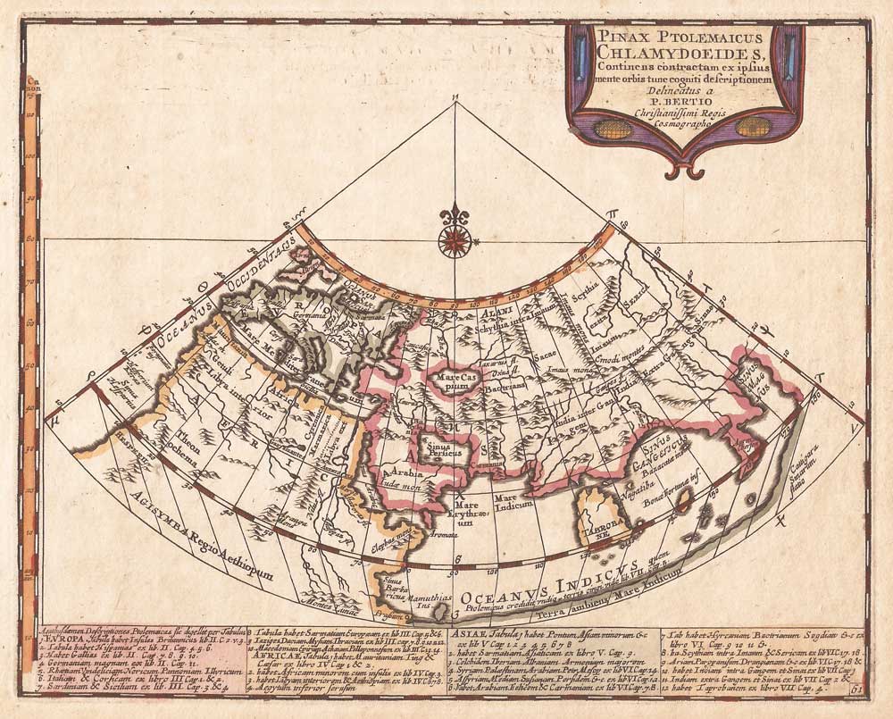
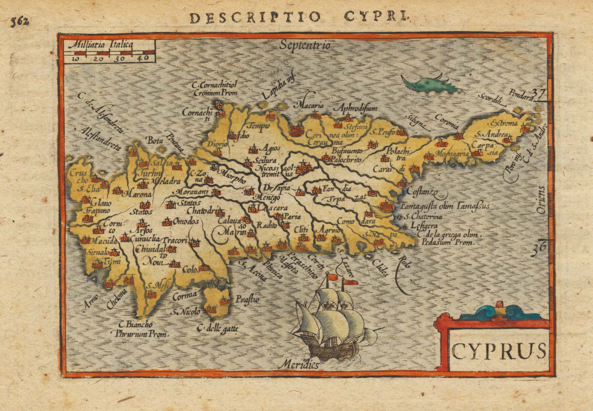
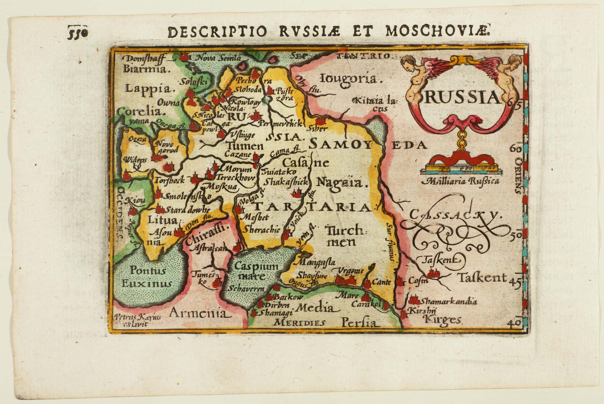
Antique Maps by BERTIUS, Petrus.
Petrus Bertius (1565–1629) was a Flemish-born Dutch geographer, cartographer and editor whose importance lies in his role as a learned compiler of late sixteenth- and early seventeenth-century geographical knowledge. Active in Amsterdam and Leiden, he helped shape how a broad reading public encountered classical and contemporary geography through carefully edited texts accompanied by maps.
Bertius is closely associated with the cartographic output of the Hondius and Janssonius circle, for whom he provided editorial and scholarly content. He is best known for his work on the compact atlas tradition, notably the Latin Tabularum Geographicarum Contractarum (a “mini-atlas”), issued in multiple editions and prized for presenting widely circulating map images in an accessible, portable form.
His maps typically reflect the mainstream Dutch publishing aesthetic of the period, combining clear engraving with dense toponymy and explanatory titles, and they often appeared as part of larger editorial projects rather than as independent surveys. As a result, Bertius is remembered less as an originator of new surveys than as an influential mediator between scholarship, printing, and the atlas market.
→ Explore more works by Petrus Bertius
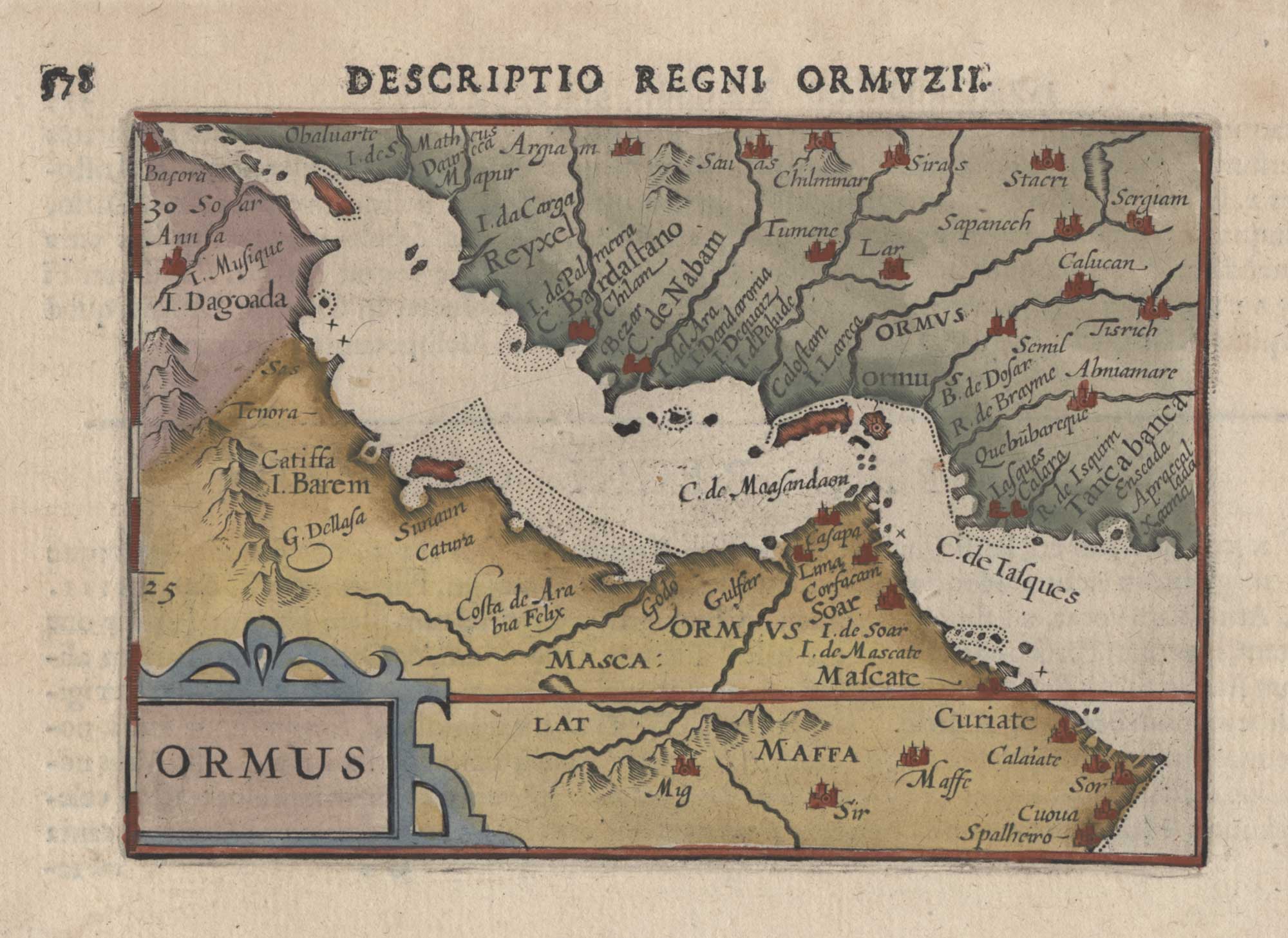
Early 17th century miniature map of the Persian Gulf
BERTIUS, Petrus. Date: 1603 Stock #: 26354 £350.00
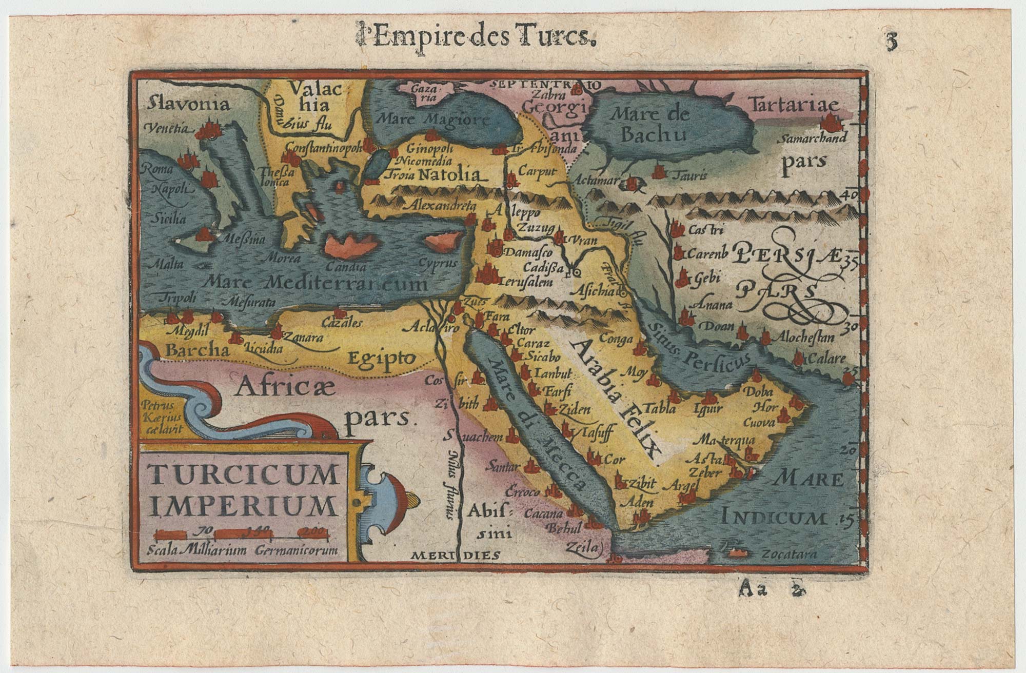
Early 17th century miniature map of the Turkish Empire
BERTIUS, Petrus. Date: 1609 Stock #: 24846 £250.00