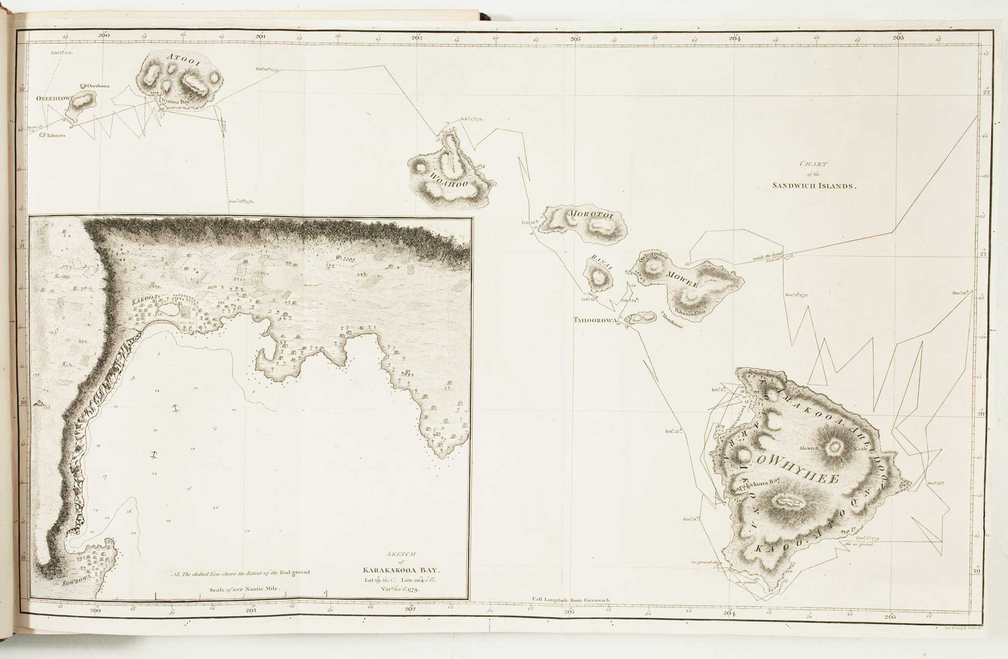
Antique Maps by COOK, James.
James Cook (1728–1779) was an English naval officer, navigator and hydrographer whose surveys transformed European knowledge of the Pacific and set new standards for maritime cartography. he is well regardedy for the precision of his coastal charting and for demonstrating how disciplined observation and measurement could produce reliable sea charts across vast, unfamiliar waters.
Cook first proved his abilities as a surveyor in North America during the Seven Years’ War, where his charting of the St Lawrence and later work around Newfoundland established his reputation for careful hydrographic practice. Appointed to command major Pacific voyages for the Admiralty, he and his crews charted extensive stretches of coastline and island groups, including New Zealand and the eastern coast of Australia, as well as parts of the North Pacific.
The maps associated with Cook were often published through official voyage accounts and Admiralty channels, frequently engraved and edited in London from his logs and drawings. While necessarily collaborative—drawing on the work of officers, astronomers and draftsmen—Cook’s leadership and exacting standards shaped a body of charting that remained authoritative for decades.
→ Explore more works by James Cook
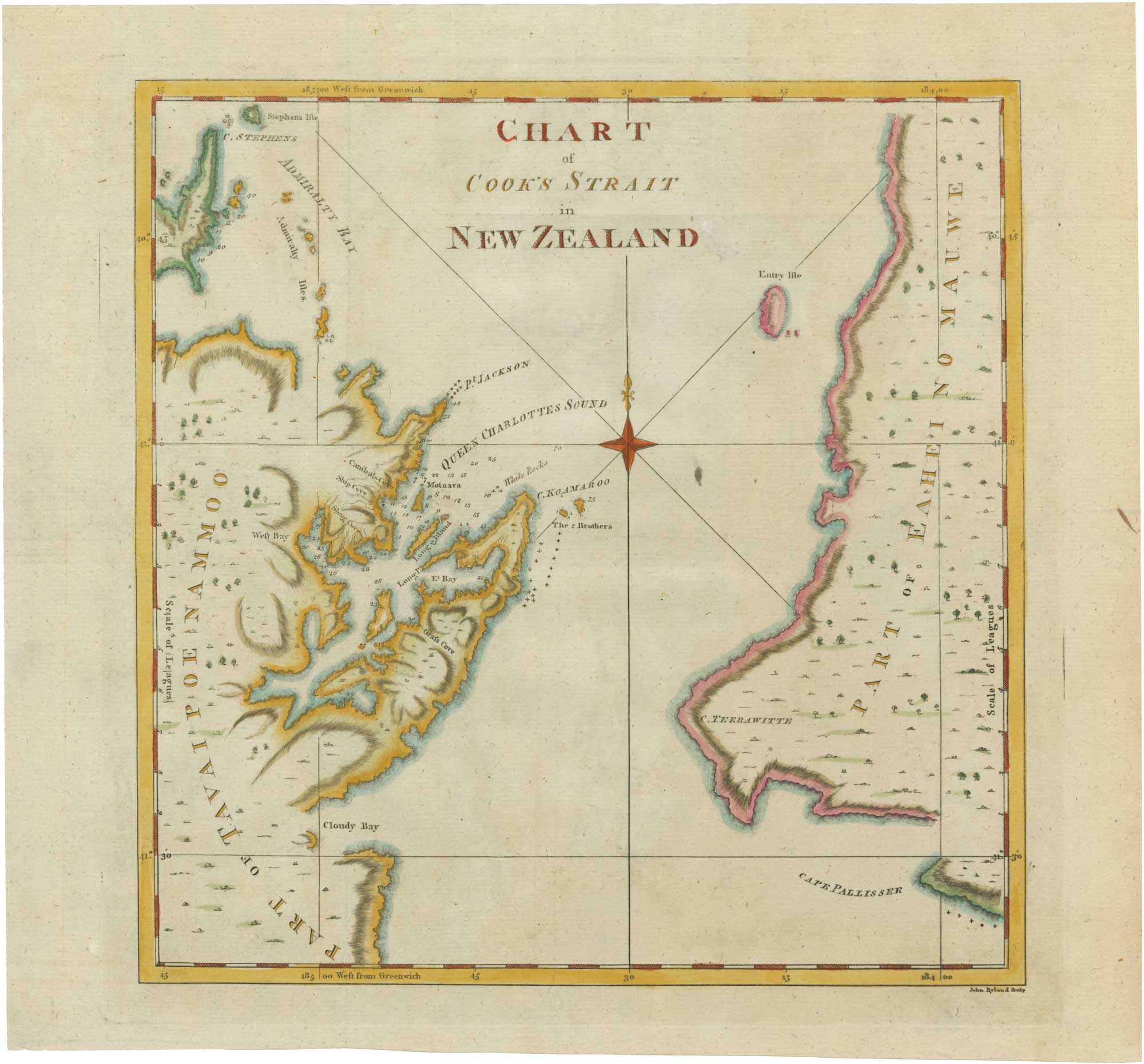
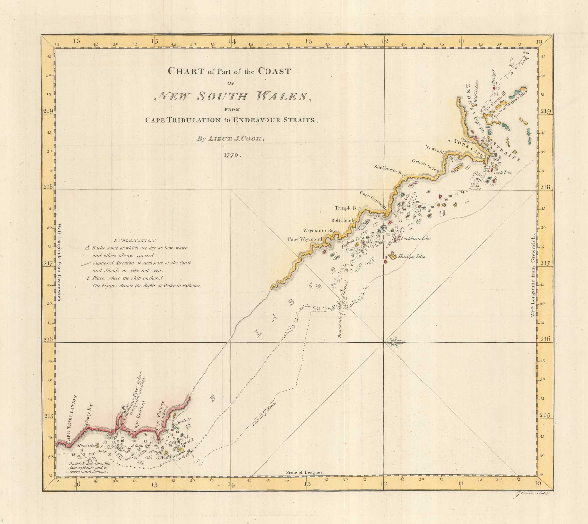
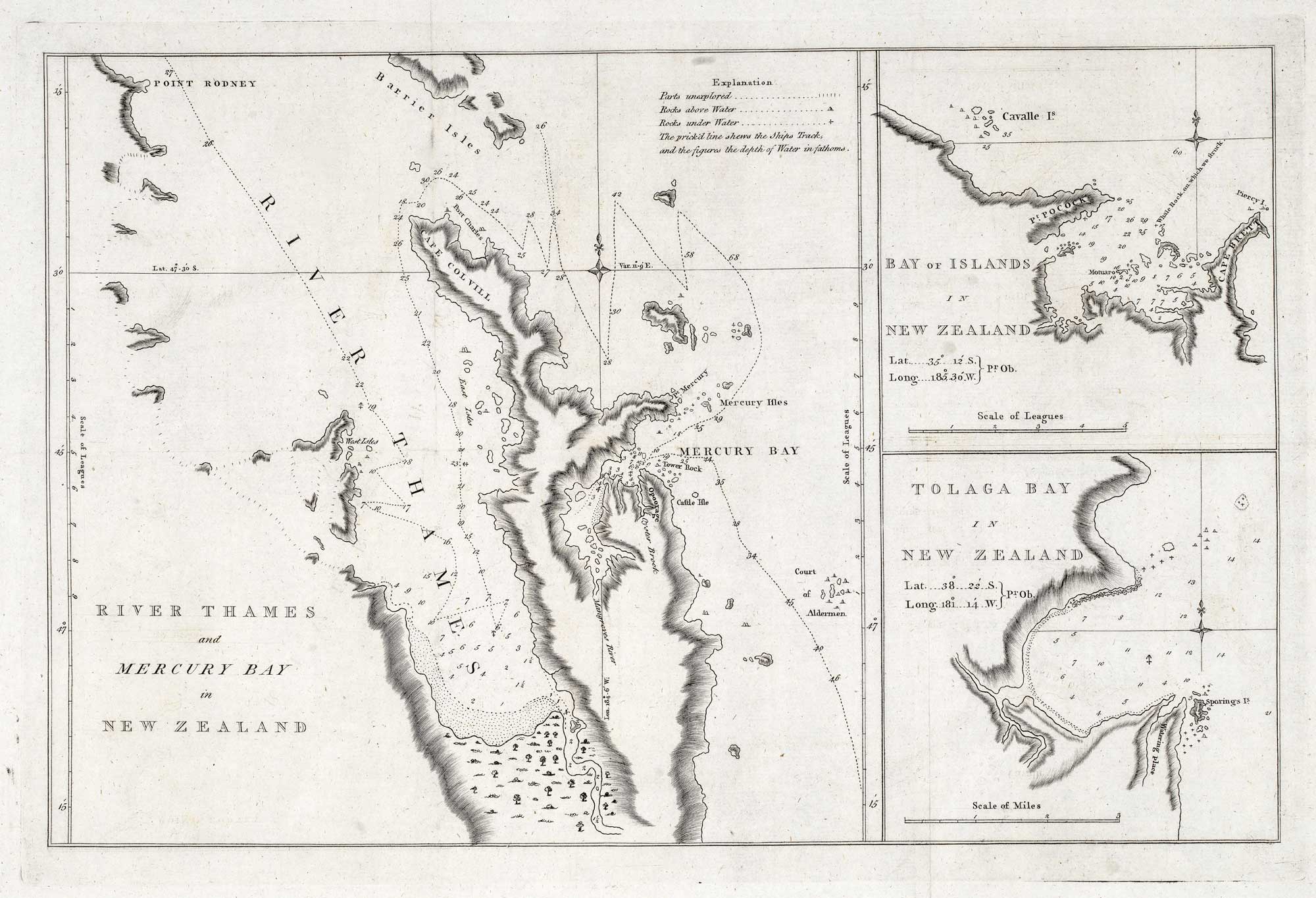
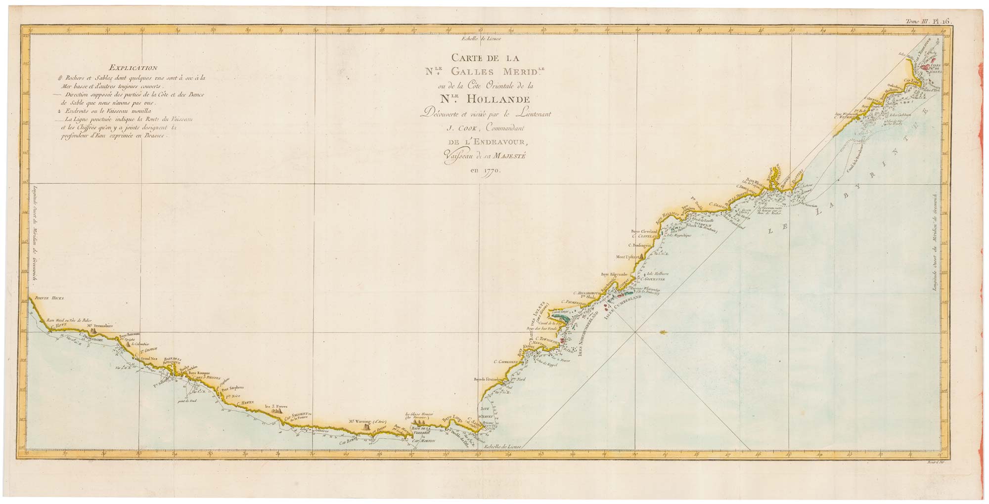
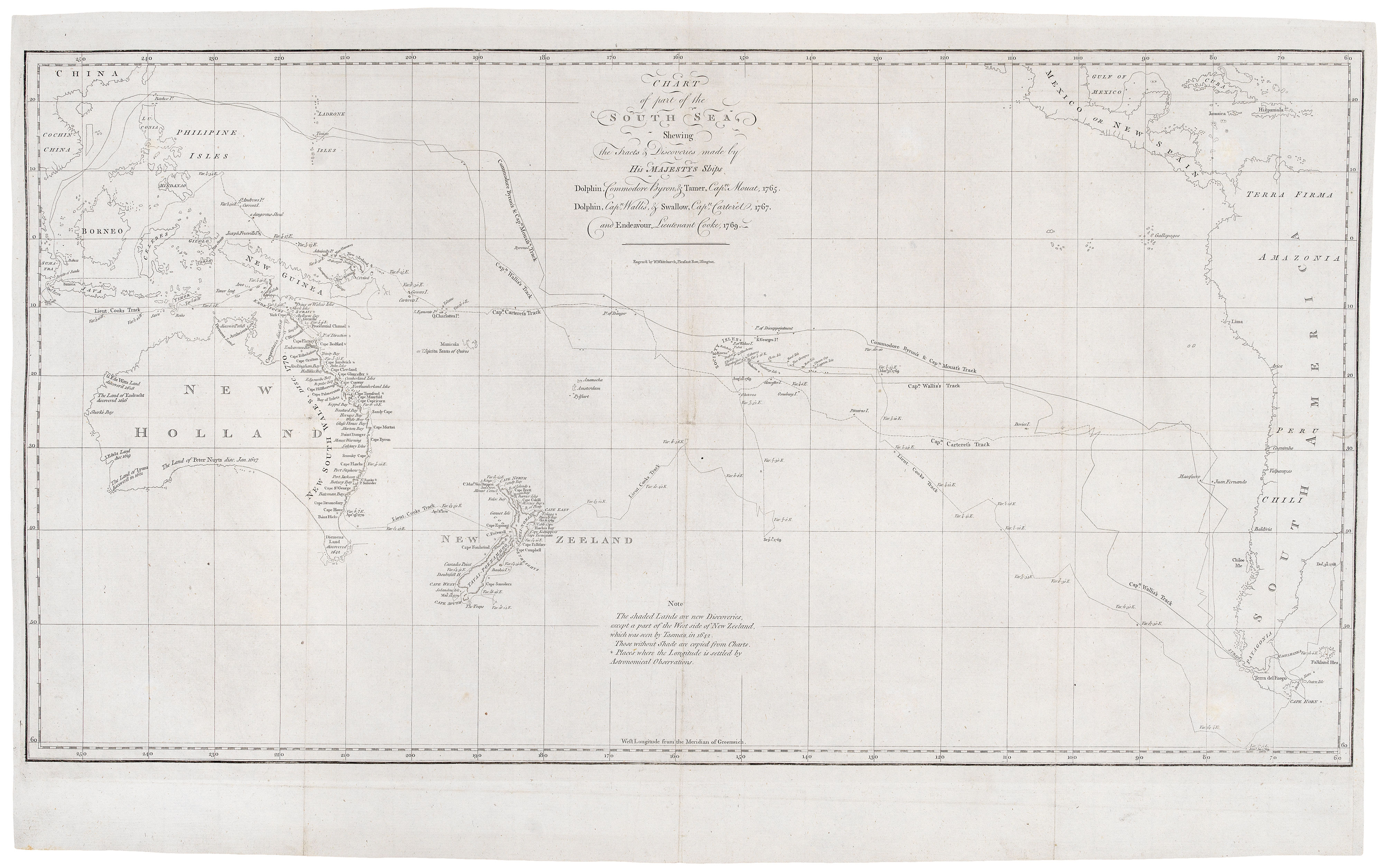
Cook's chart of the South Pacific from his First Voyage
COOK, James. Date: 1773 Stock #: 20839 £1,400.00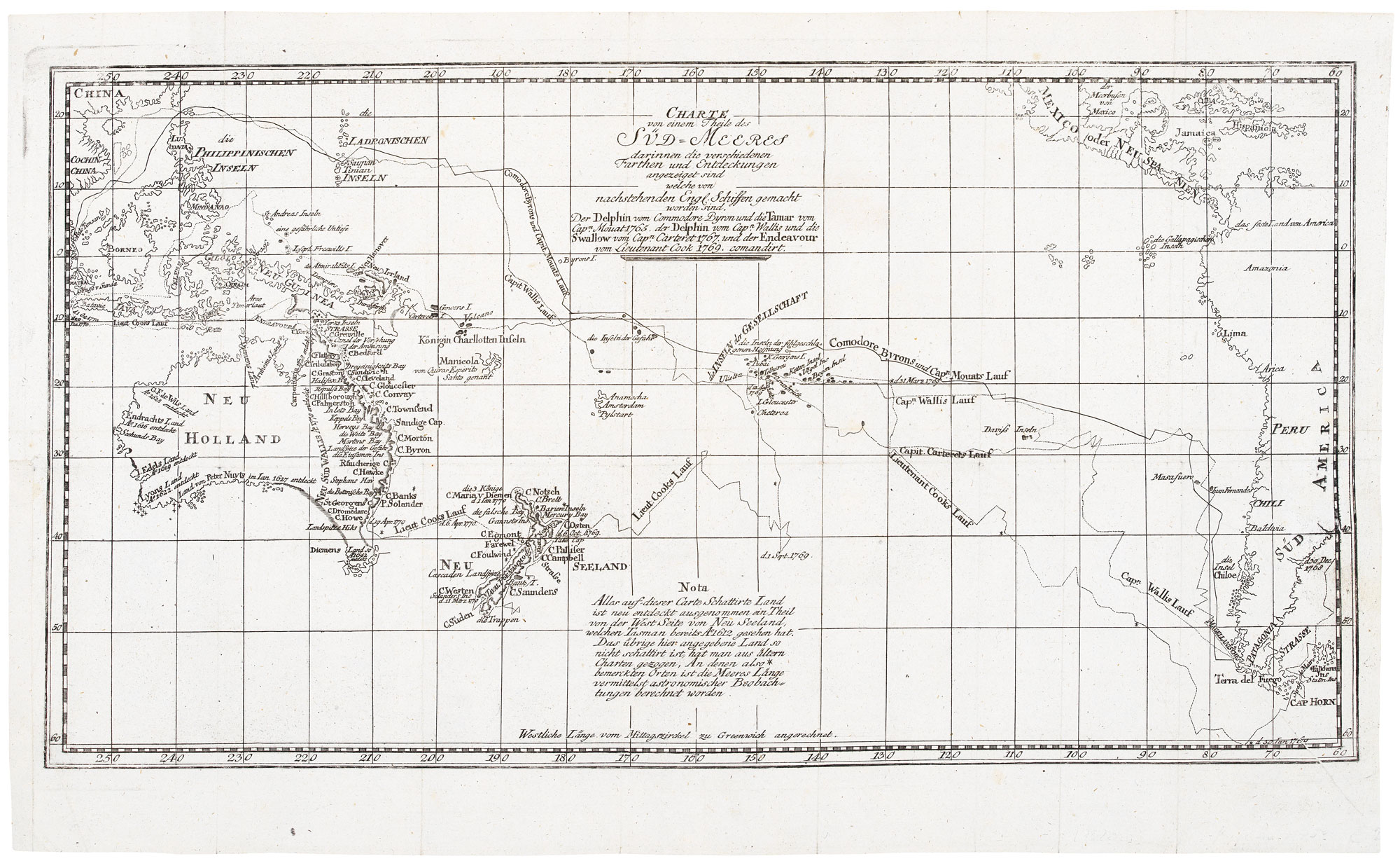
A German edition of Cook's chart of the South Pacific
COOK, James. Date: 1775 Stock #: 20470 £450.00