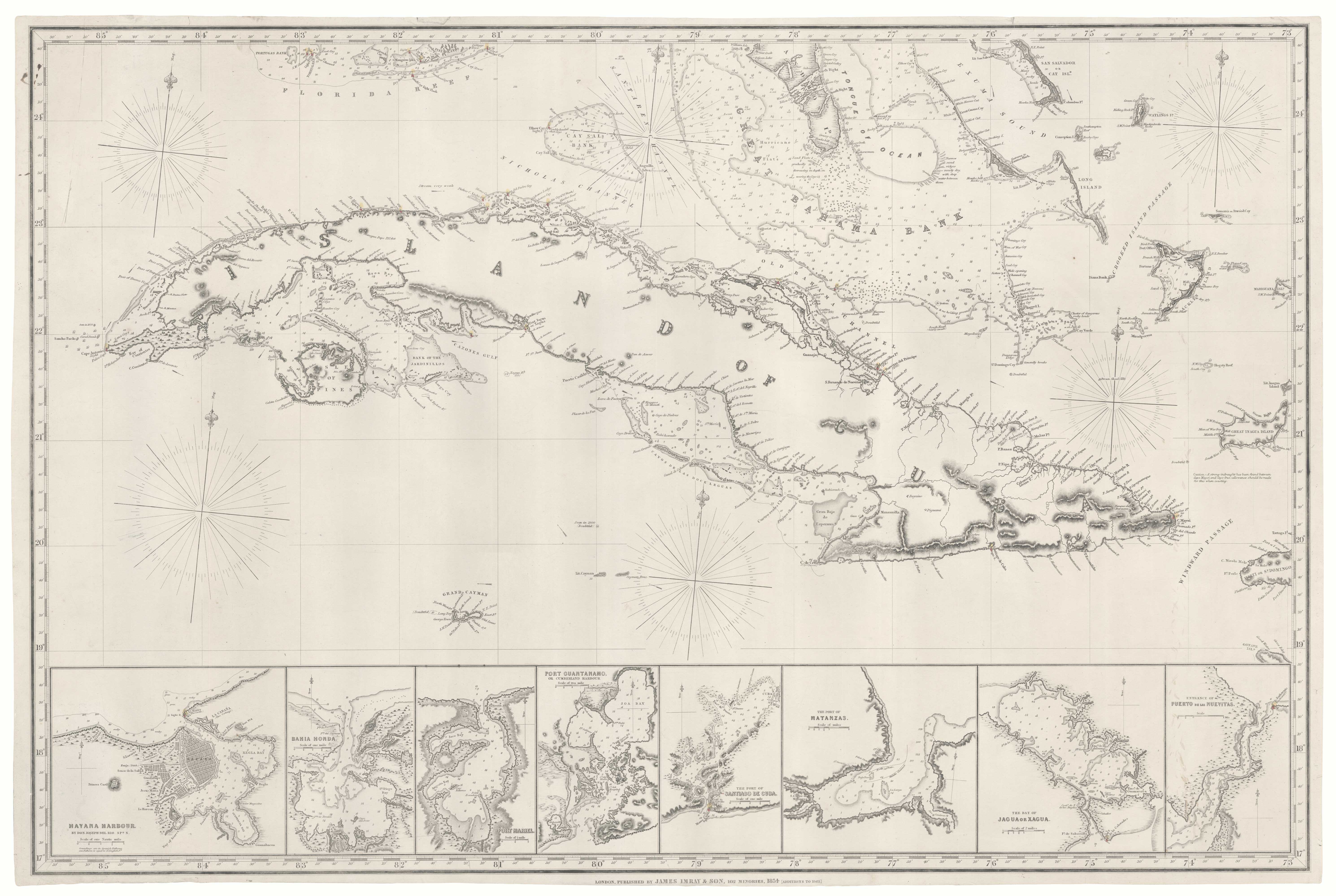
Antique Maps by IMRAY, James.
James Imray (1803–1870) was a British hydrographer, chart publisher and map seller whose name became closely associated with the practical needs of nineteenth-century navigation. Active in London during a period of rapid growth in global trade and steamship travel, he mattered as a commercial conduit between official surveying and the mariner’s chart-table, issuing working sea charts and pilot information for wide circulation.
Imray established his business as a specialist in nautical publications, supplying charts for the coasts and sea lanes most frequented by British and international shipping. Like many successful hydrographic publishers of the period, he built his catalogue by compiling and updating information derived from recognised surveys, and by maintaining an extensive output of individual charts rather than relying on a single landmark atlas.
His firm continued after his death, and the imprint ‘Imray’ remained a familiar presence in maritime charting, reflecting the durable value of his enterprise to professional seamen and to the broader market for navigational cartography. In 2025 Altea Gallery alongside Daniel Crouch Rare Books acquired the archive of Imray, Laurie, Norie & Wilson.
→ Explore more works by James Imray