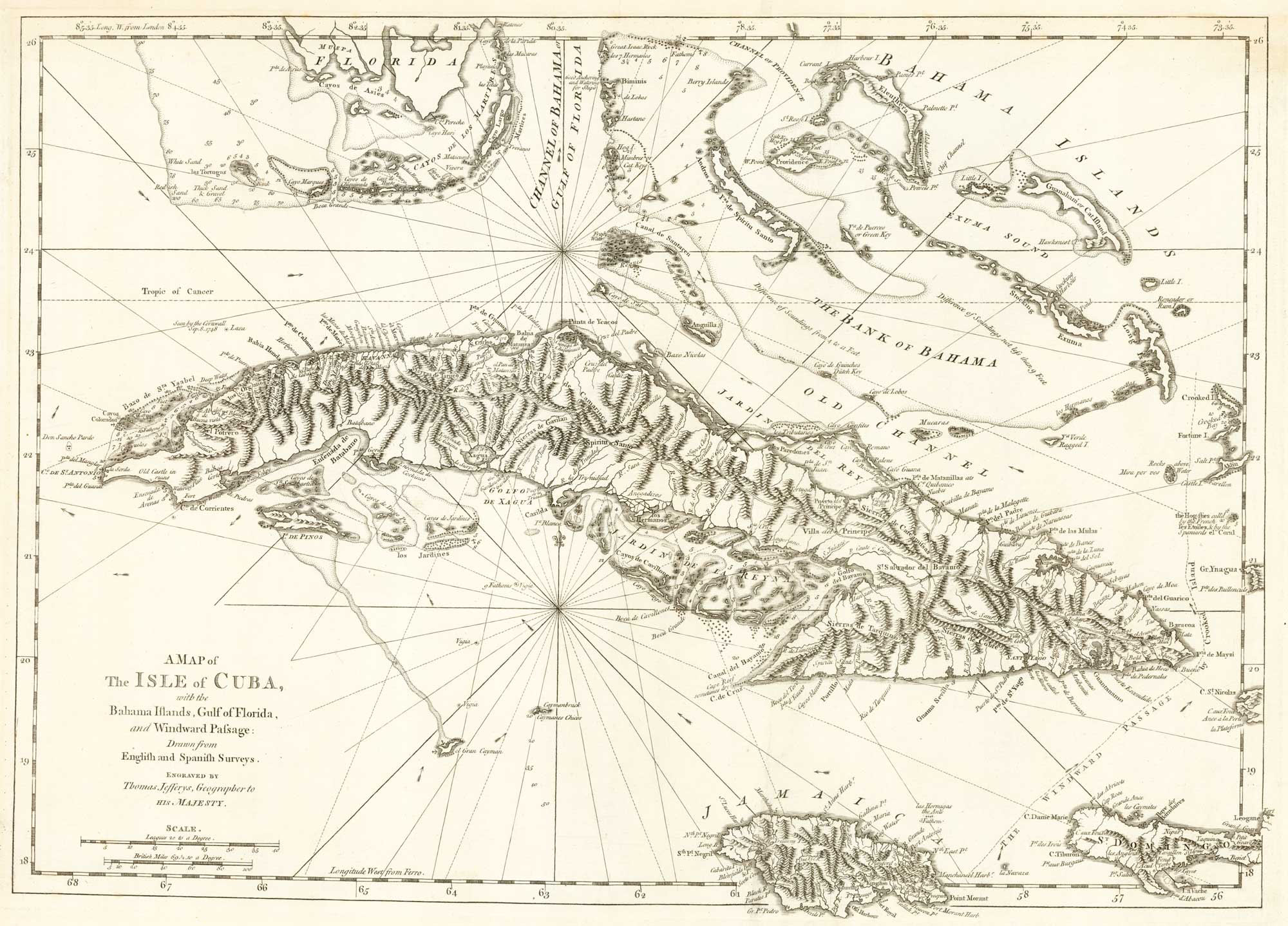
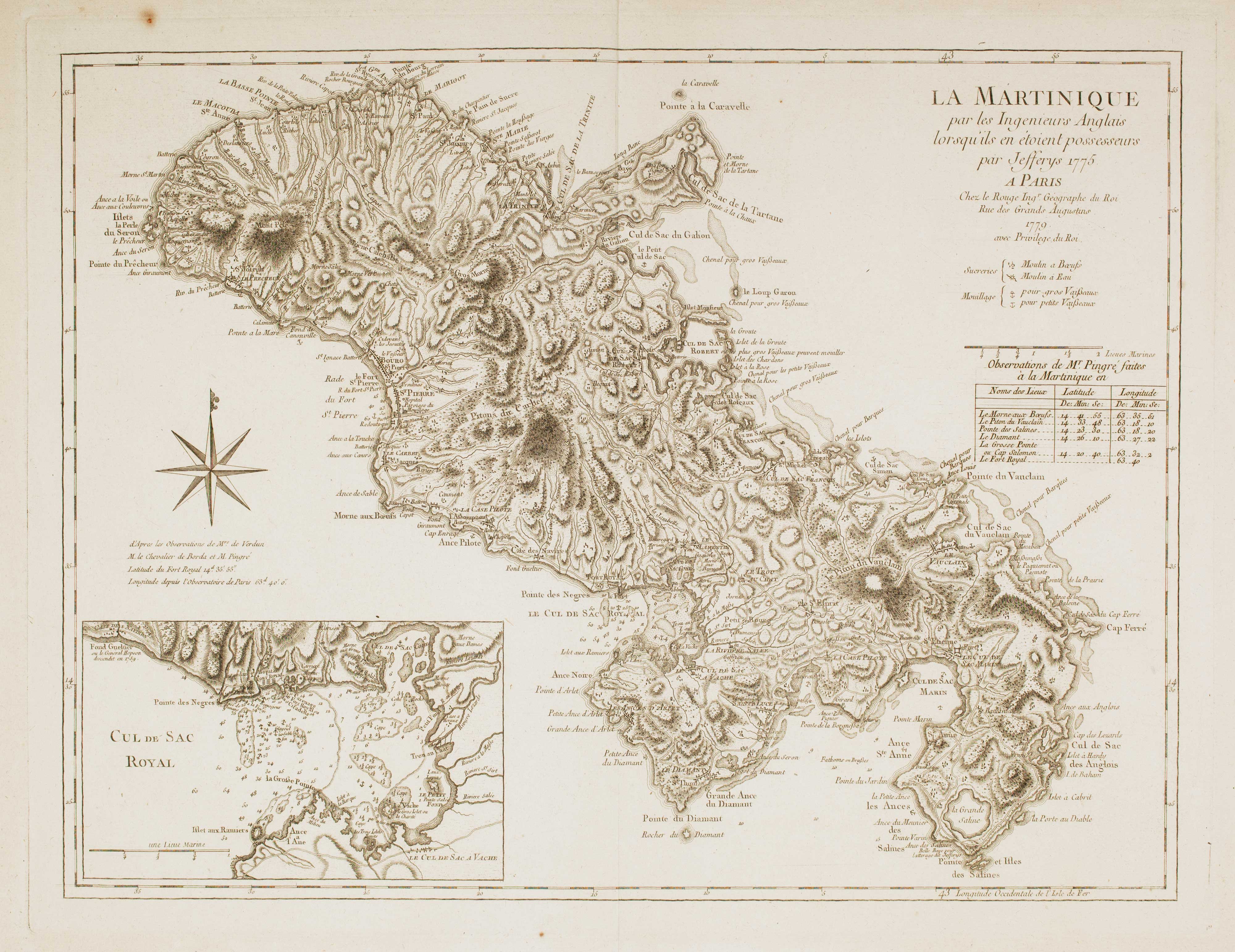
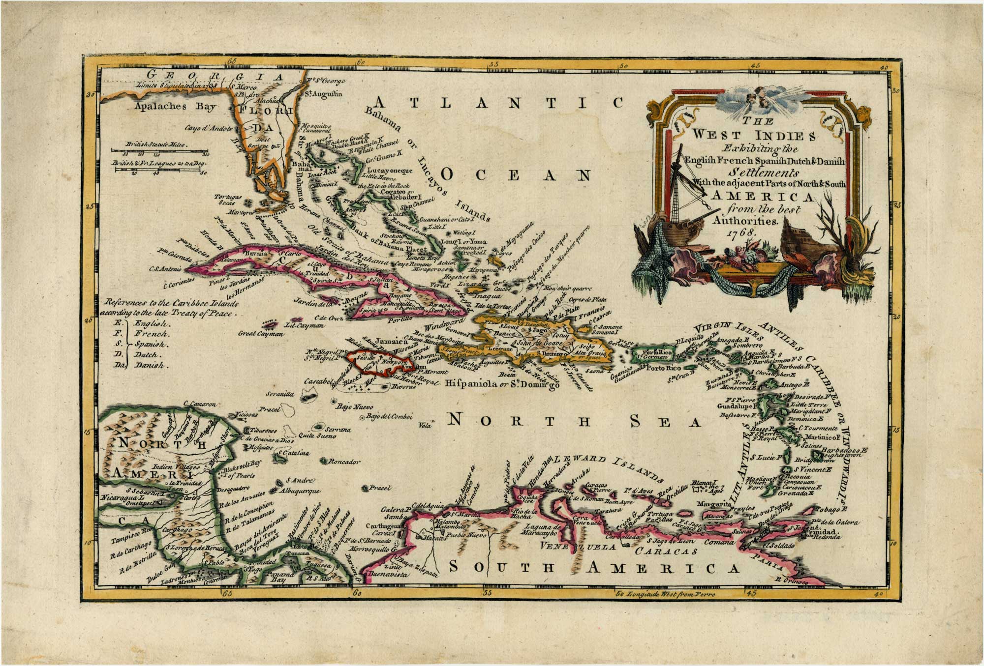
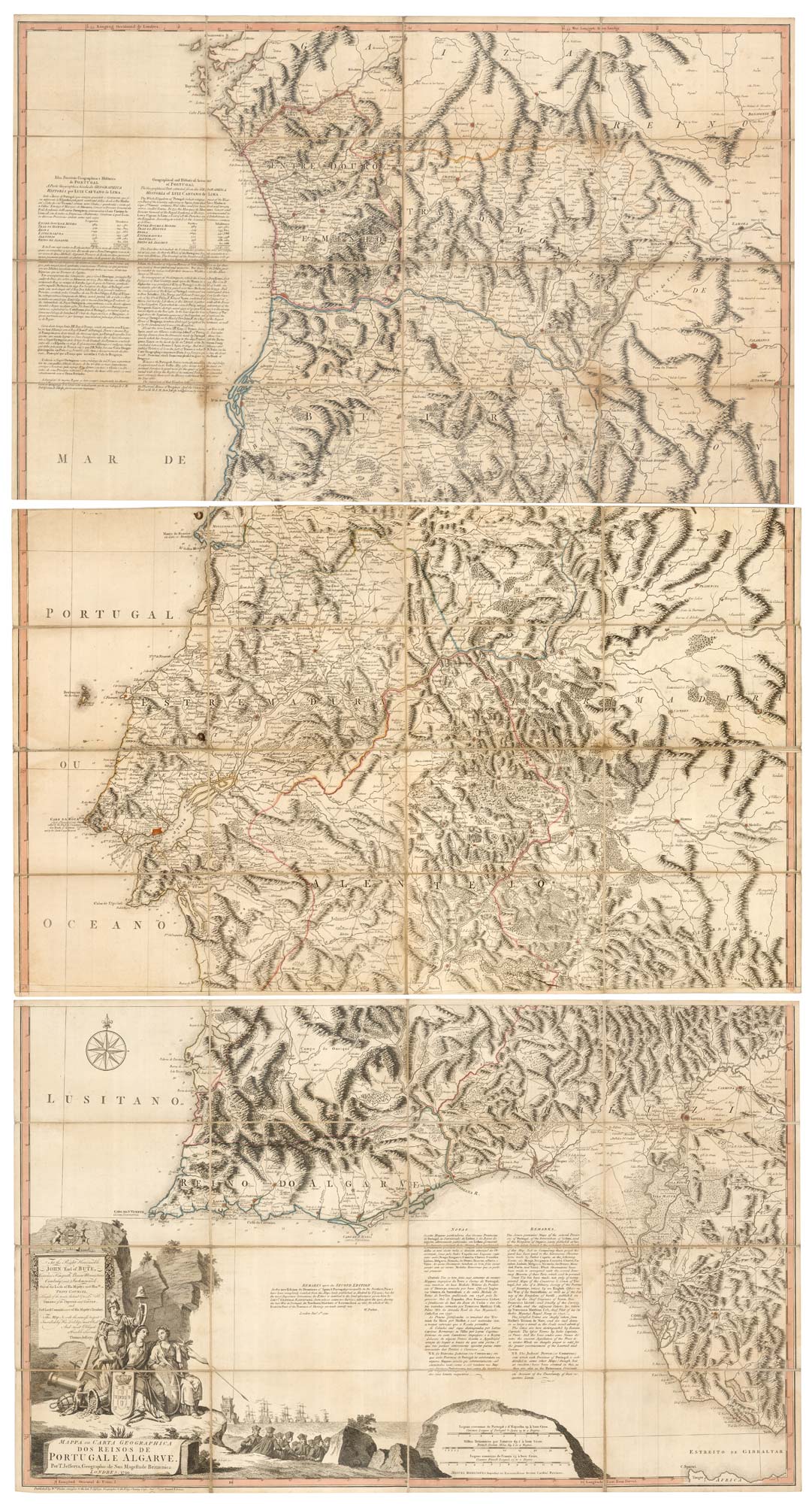
Antique Maps by JEFFERYS, Thomas.
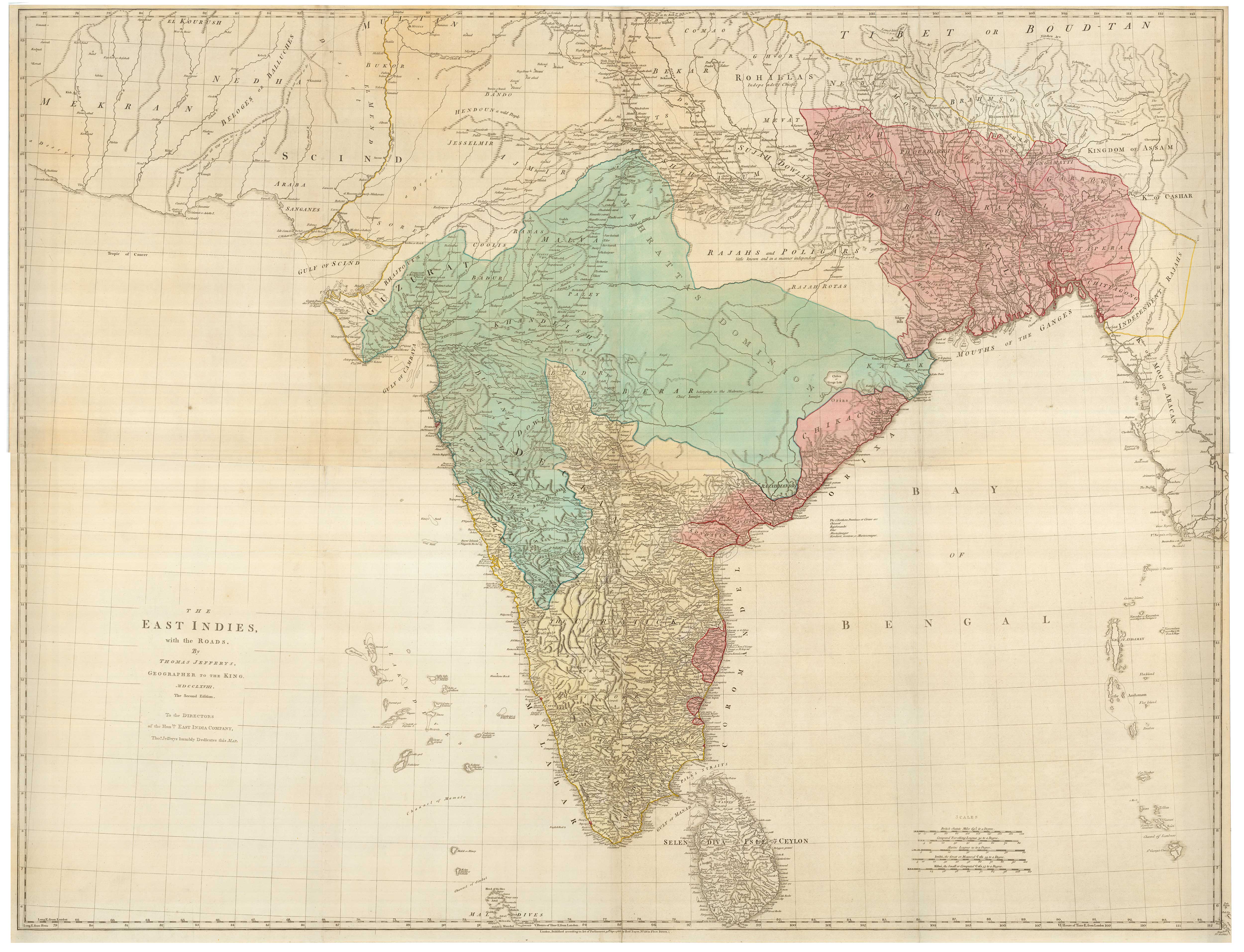
Thomas Jefferys (c.1719–1771) was an English cartographer and map publisher, appointed Geographer to the King, and a key figure in the mid-eighteenth-century expansion of British commercial and strategic mapping. He matters for the scale and authority of his output, particularly on North America and the West Indies at a moment when imperial rivalry and colonial settlement demanded more detailed, up-to-date cartography.
Jefferys built his reputation through the compilation, engraving, and publication of large-format maps that synthesised official surveys, travellers’ reports, and the best available printed sources. His plates are noted for their clear presentation and practical emphasis, often including administrative boundaries, coastal soundings, and routes that made them useful to government, merchants, and soldiers as well as private collectors.
Among his best-known publications are The American Atlas and A General Topography of North America and the West Indies, both associated with the cartographic needs of the Seven Years’ War era and its aftermath. After his death, many of his plates and projects continued to circulate through other London map sellers, extending his influence on British mapping well into the later eighteenth century.
→ Explore more works by Thomas Jefferys
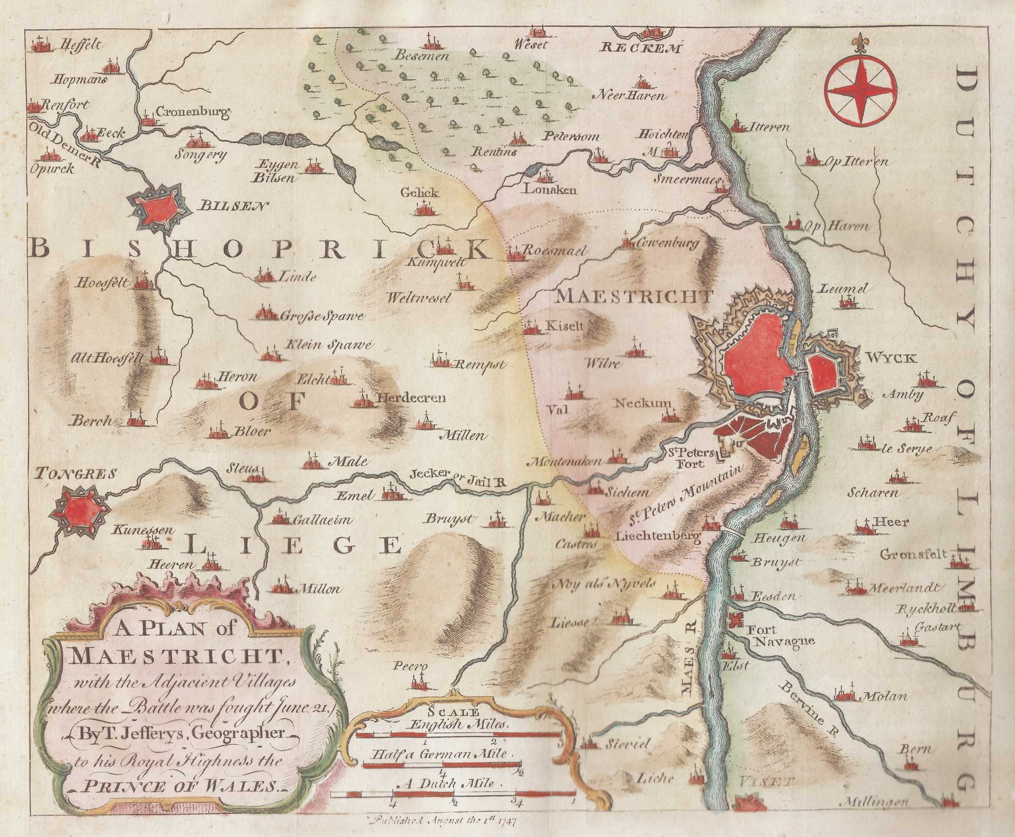
The environs of Maastricht and the Battle of Lauffeldt
JEFFERYS, Thomas. Date: 1747 Stock #: 21641 £140.00