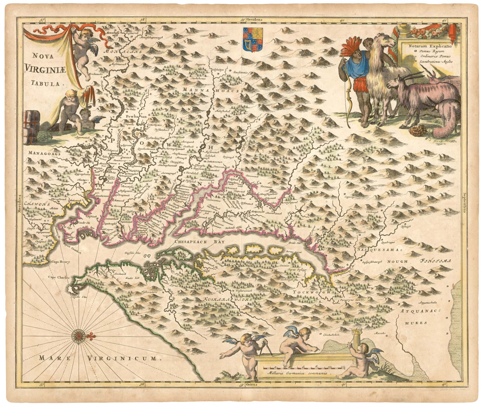
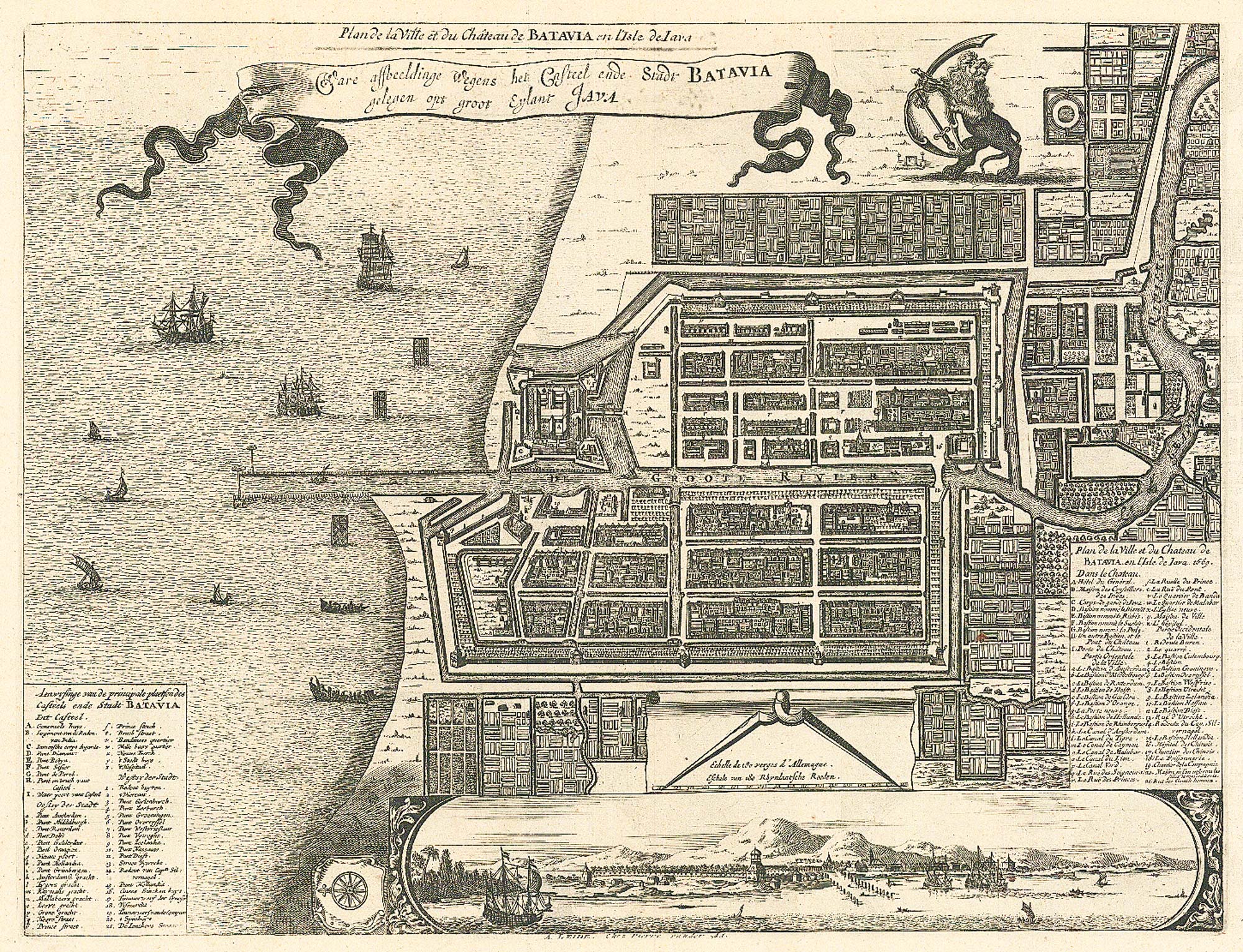
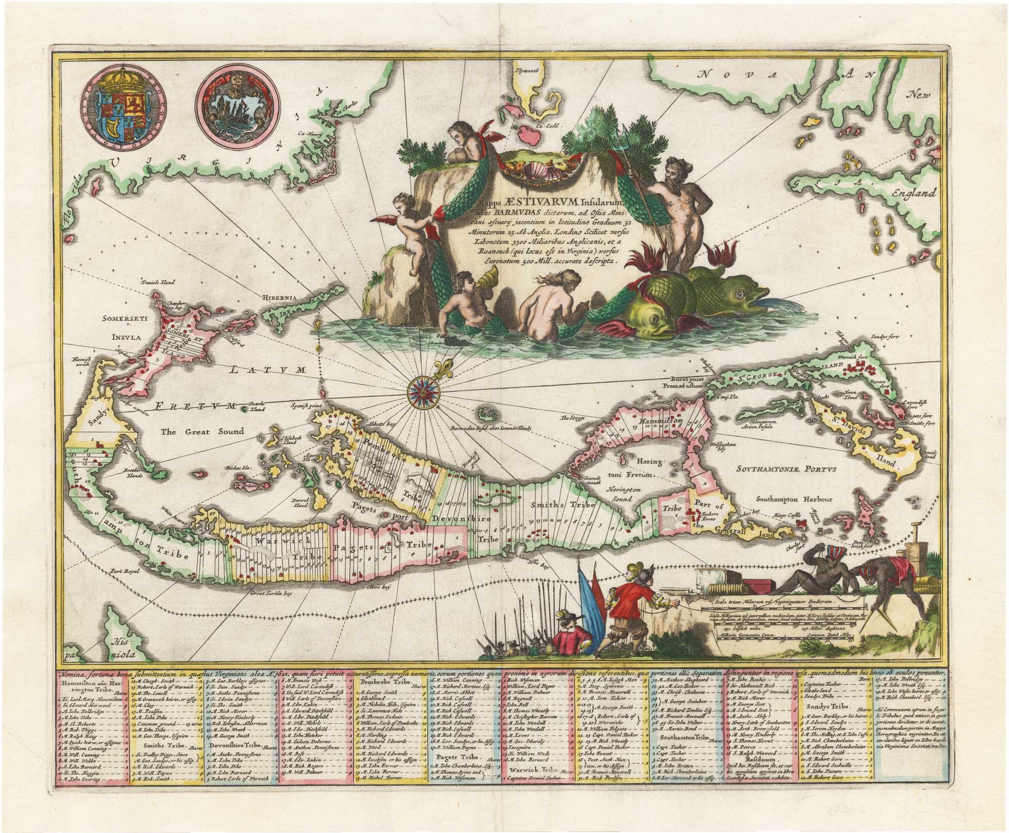
Antique Maps by MONTANUS, Arnoldus.
Arnoldus Montanus (c.1625–1683) was a Dutch writer and compiler whose works helped shape European geographical and ethnographic knowledge in the later seventeenth century. Although not primarily a mapmaker, he is important to cartographic history because his books were issued with substantial suites of maps and views, bringing together travel accounts, classical sources, and contemporary reports for a wide readership.
Montanus is best known for ambitious illustrated publications on the wider world, notably his account of Japan (commonly cited under the Latin title Atlas Japannensis), as well as works on the Americas. These volumes typically combined descriptive text with engraved maps and topographical prospects, contributing to the popular visual vocabulary through which distant regions were imagined in Europe.
His cartographic content was generally produced in collaboration with Amsterdam publishers and engravers, and the maps associated with his texts are frequently encountered separately on the market. They reflect the period’s appetite for compendious ‘universal’ geography, in which scholarship, reportage, and printmaking were closely intertwined.
→ Explore more works by Arnoldus Montanus
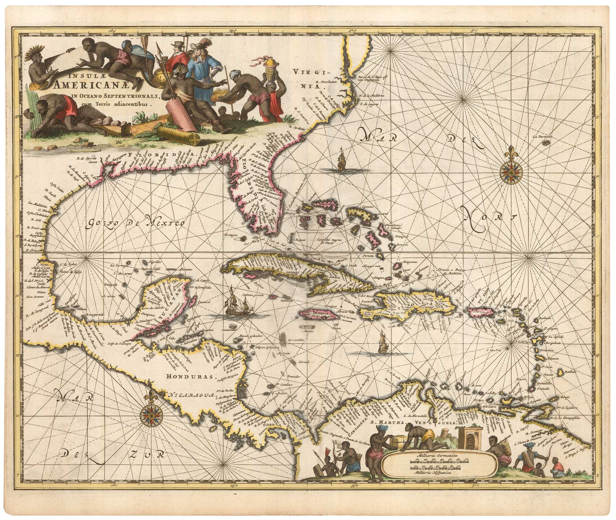
Decorative 17th century map of the West Indies
MONTANUS, Arnoldus. Date: 1670 Stock #: 25983 £980.00