Antique Maps by WALDSEEMULLER, Martin.
Martin Waldseemüller (c.1470–1520) was a German cartographer and humanist whose work is central to the early mapping of the New World. He is best remembered for helping to fix the name ‘America’ in European geographical thought, at a moment when accounts of Atlantic discovery were rapidly reshaping Renaissance cartography.
Working at Saint-Dié in the Vosges as part of a learned circle that promoted new geographical writing, Waldseemüller produced his celebrated large wall map of the world of 1507, accompanied by the Cosmographiae Introductio. On this map the newly described lands across the Atlantic were presented as a distinct continent and labelled ‘America’, reflecting contemporary readings of Amerigo Vespucci’s voyages.
Waldseemüller later revised his view of the discoveries in his 1516 Carta Marina, a more detailed world map that drew on Portuguese and other recent sources and offered an updated depiction of coasts and place-names. His surviving maps, whether as wall maps or as smaller printed sheets, are landmarks of early-sixteenth-century print cartography and the transmission of geographical knowledge.
→ Explore more works by Martin Waldseemuller
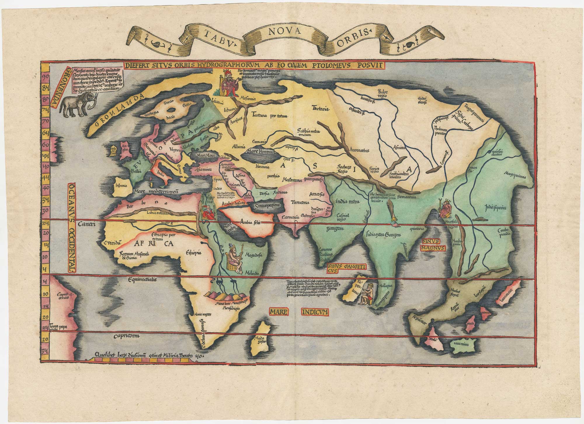
A fine example of Fries' modern world map
WALDSEEMULLER, Martin. Date: 1535 Stock #: 26564 £4,700.00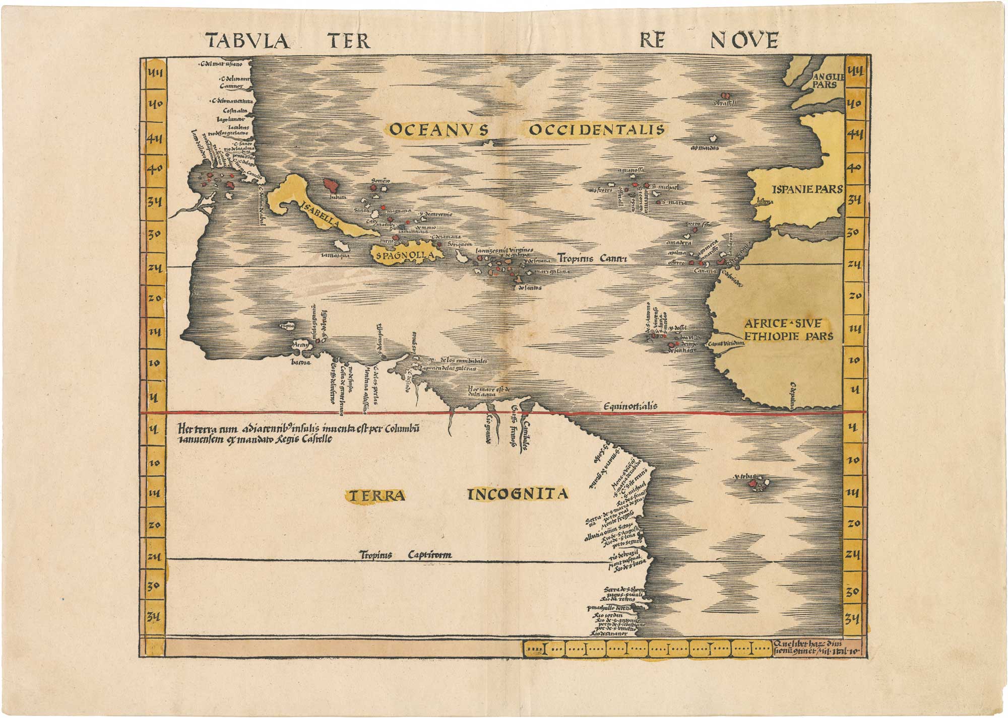
Tabula Terre Nove: Waldseemüller's 1513 Map of America (The Admiral's Map)
WALDSEEMULLER, Martin. Date: 1513 Stock #: 26451 £60,000.00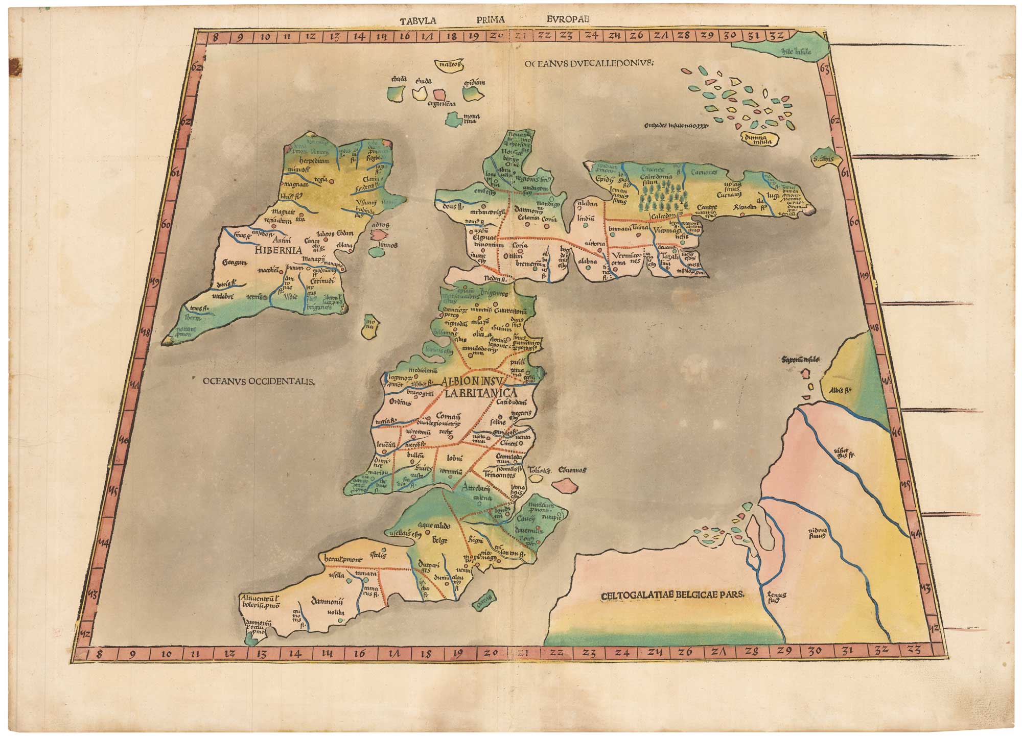
Waldseemuller's 1513 map of the British Isles after Ptolemy in contemporary colour
WALDSEEMULLER, Martin. Date: 1513 Stock #: 26141 £16,000.00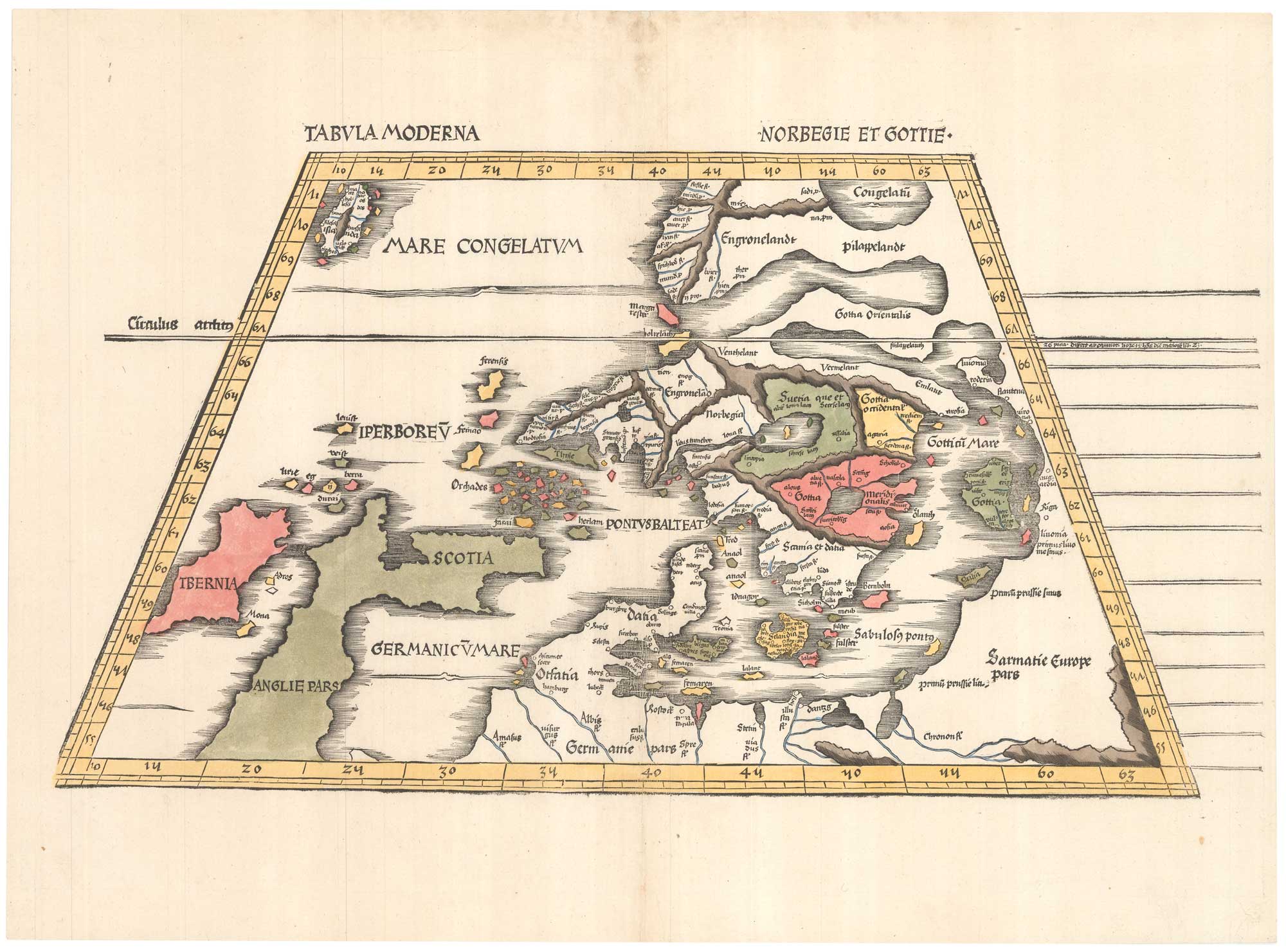
Early 16th century map of modern Scandinavia
WALDSEEMULLER, Martin. Date: 1520 Stock #: 26142 £6,500.00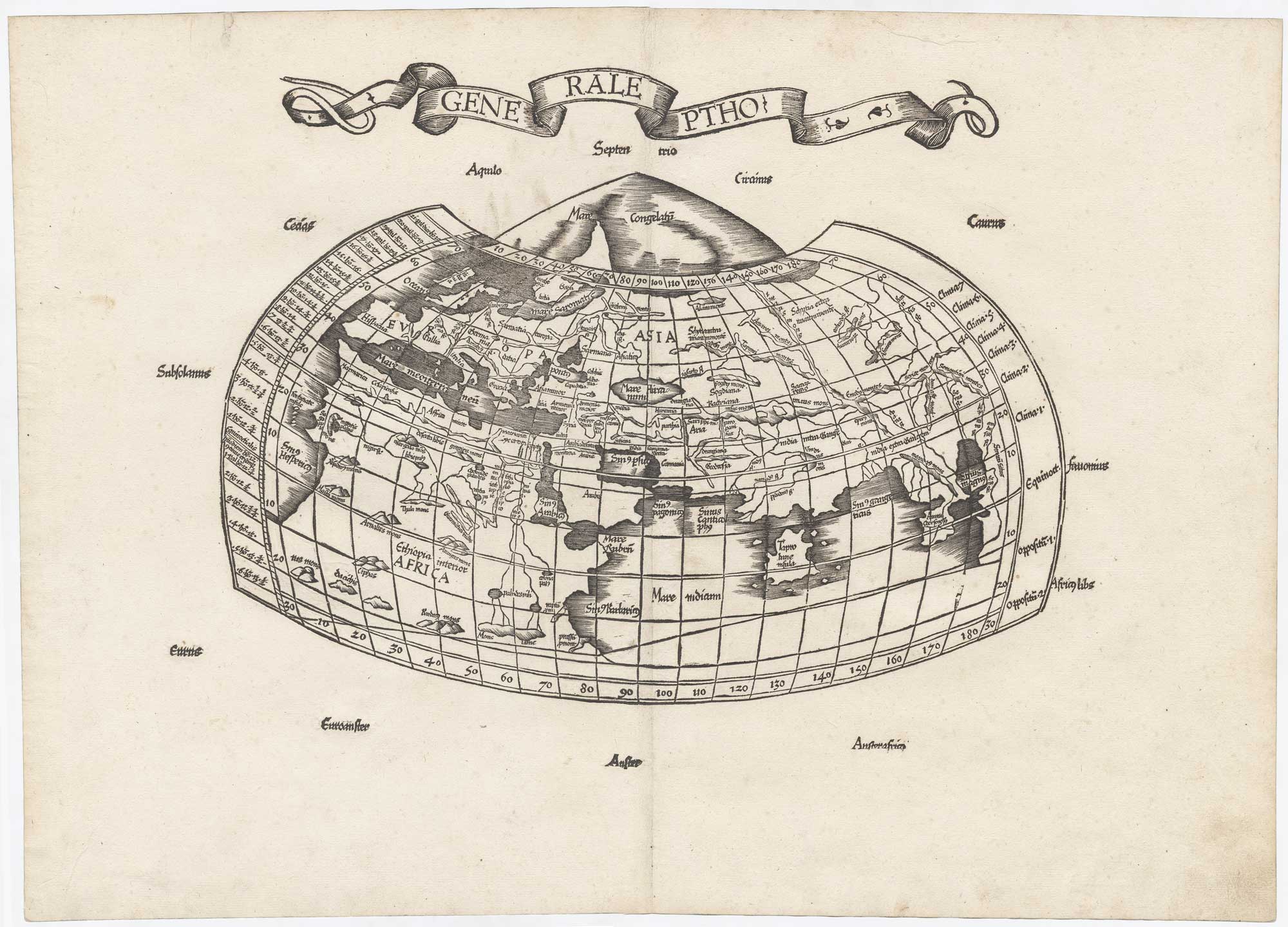
The very rare first issue of the Wäldseemüller/Fries Ptolemaic world
WALDSEEMULLER, Martin. Date: 1522 Stock #: 25741 £5,500.00![[Ta. Superioris Indiae.] by WALDSEEMULLER, Martin., 1535.](https://altea-gallery-cdn.s3.eu-west-2.amazonaws.com/wp-content/uploads/2025/07/03135807/alteashop_25745.jpg)

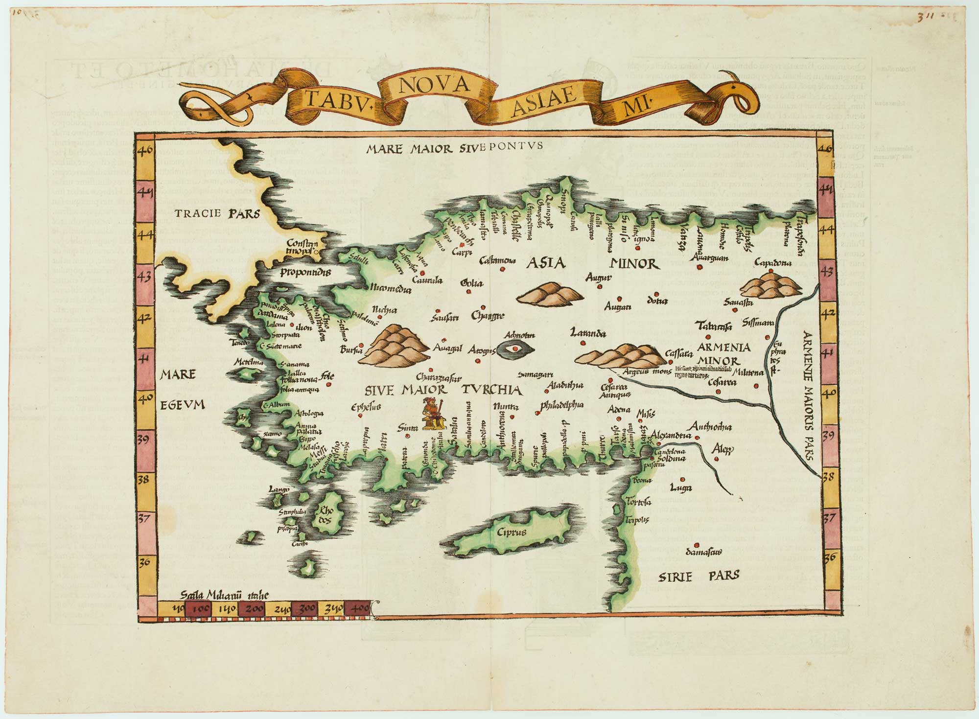
The 16th century Wäldseemüller/Fries map of 'Modern' Turkey
WALDSEEMULLER, Martin. Date: 1535 Stock #: 16996 £950.00![[Tabula X Europae.] by WALDSEEMULLER, Martin., 1535.](https://altea-gallery-cdn.s3.eu-west-2.amazonaws.com/wp-content/uploads/2025/05/10130335/alteashop_21935.jpg)
The Wäldseemüller/Fries Ptolemaic map of Greece
WALDSEEMULLER, Martin. Date: 1535 Stock #: 21935 £850.00![[Tabula Terrae Novae .] by WALDSEEMULLER, Martin., 1541.](https://altea-gallery-cdn.s3.eu-west-2.amazonaws.com/wp-content/uploads/2025/05/13151449/alteashop_23045.jpg)
The Fries edition of Wäldseemüller's map of the Americas
WALDSEEMULLER, Martin. Date: 1541 Stock #: 23045 £8,500.00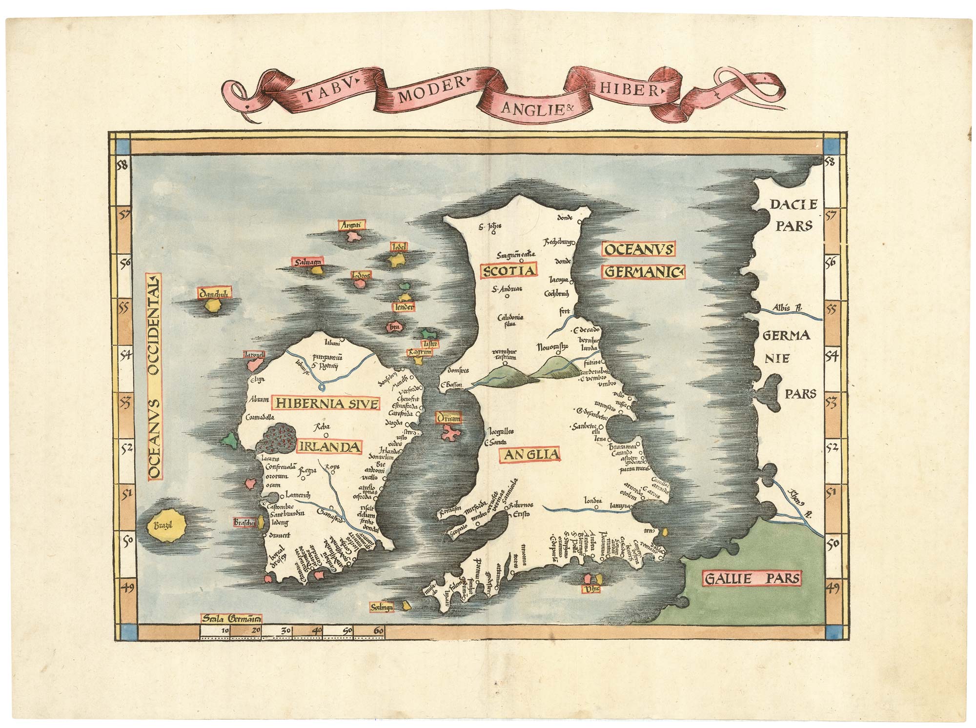
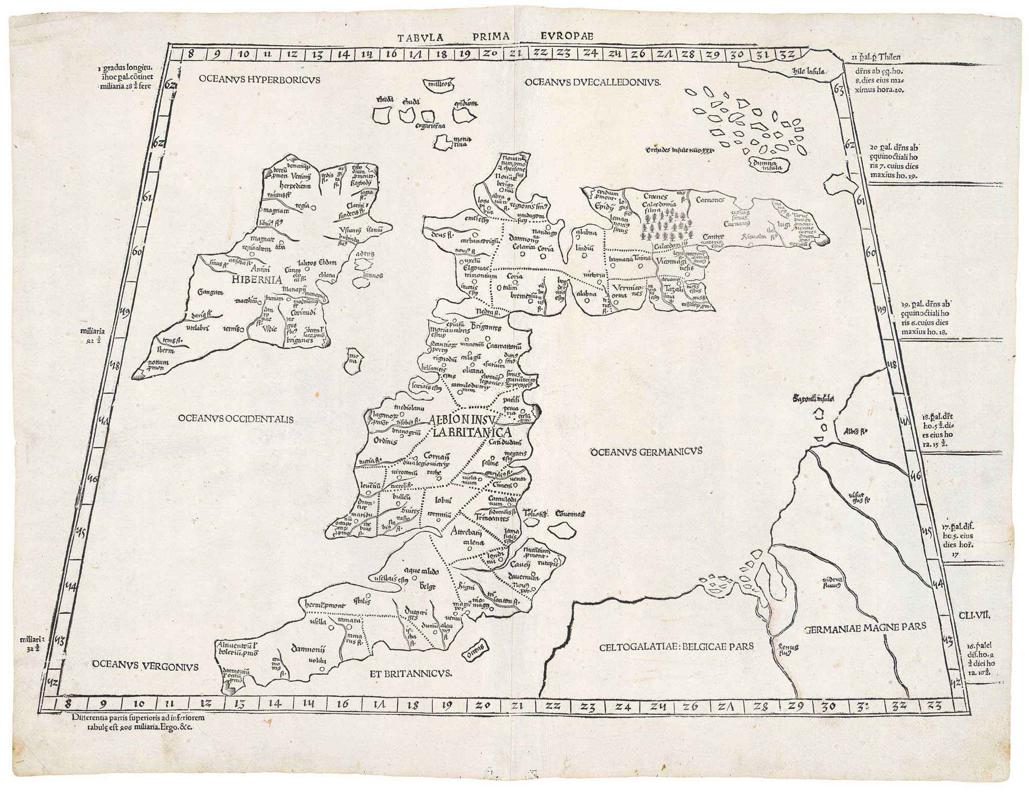
Waldseemuller's 'modern' map of the British Isles
WALDSEEMULLER, Martin. Date: 1535 Stock #: 22846 £2,250.00