Showing 1–15 of 15 products
Sort by:
Add to Wishlist
Add to Wishlist
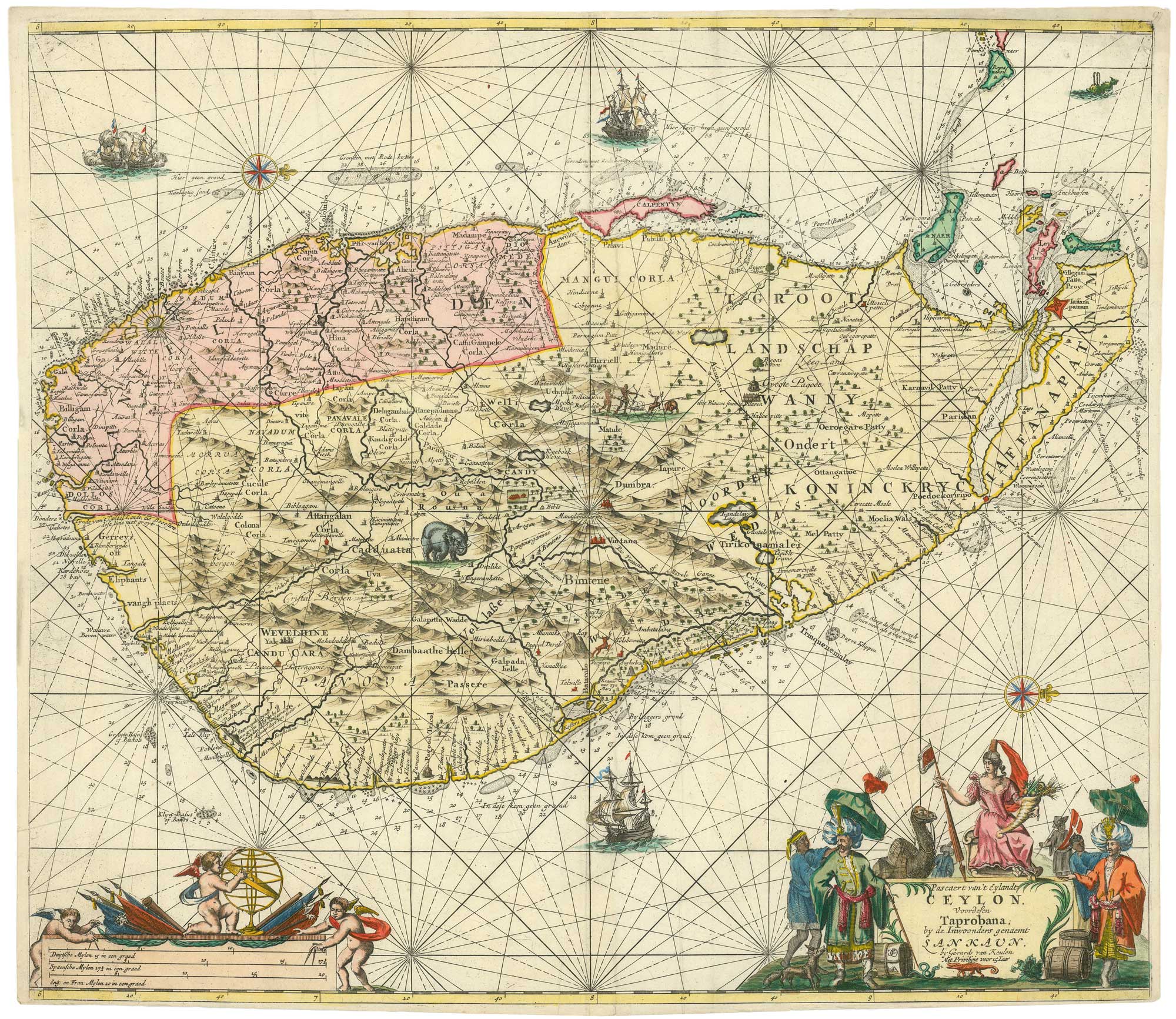
A 17th century Dutch sea chart of Sri Lanka
KEULEN, Johannes van. Date: 1710 Stock #: 25851 £1,850.00
Add to Wishlist
Add to Wishlist
Add to Wishlist
Add to Wishlist

Add to Wishlist
Add to Wishlist

Add to Wishlist
Add to Wishlist

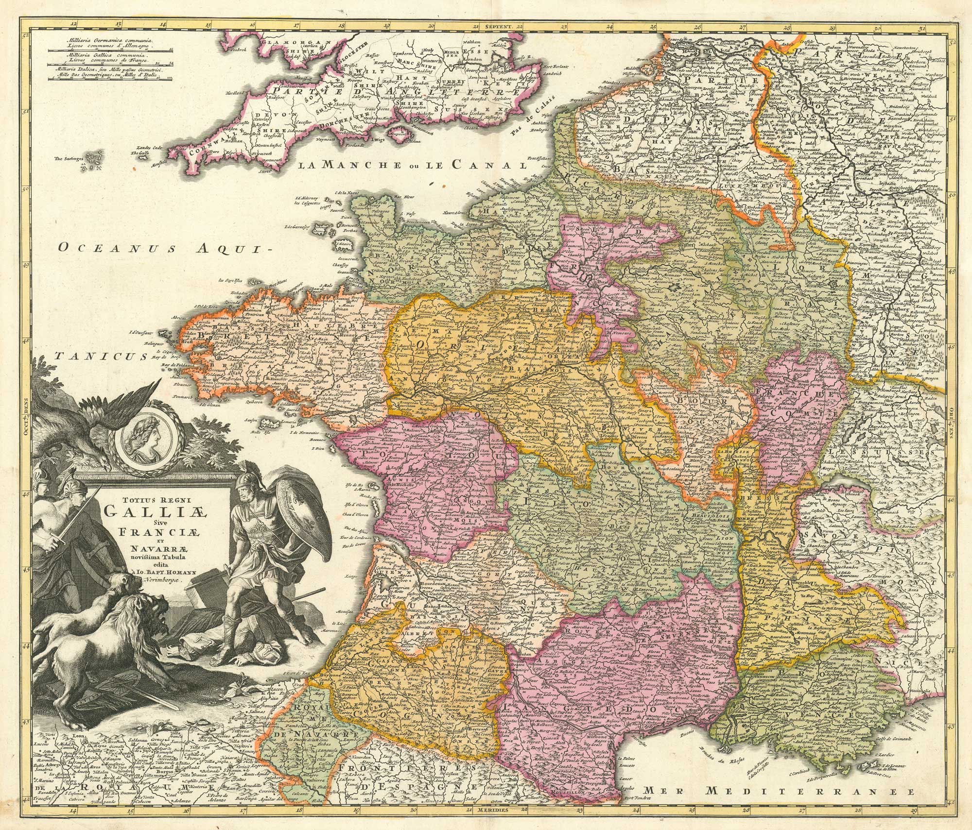
18th century map of the Holy Roman Empire and Central Europe
HOMANN, Johann Baptist. Date: 1710 Stock #: 26537 £350.00
Add to Wishlist
Add to Wishlist
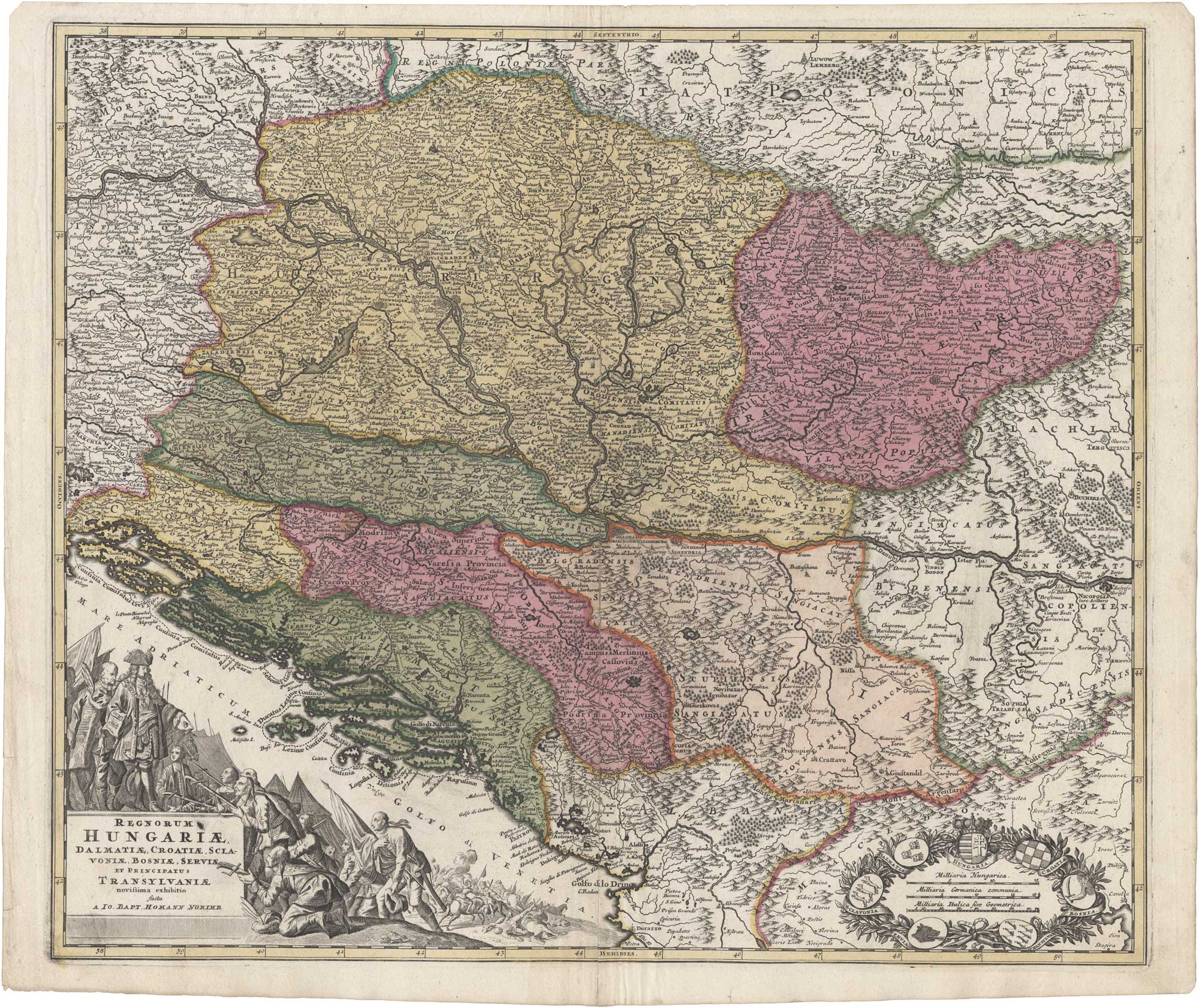
18th century map of Hungary in bright colour
HOMANN, Johann Baptist. Date: 1710 Stock #: 26293 £400.00
Add to Wishlist
Add to Wishlist
Add to Wishlist
Add to Wishlist
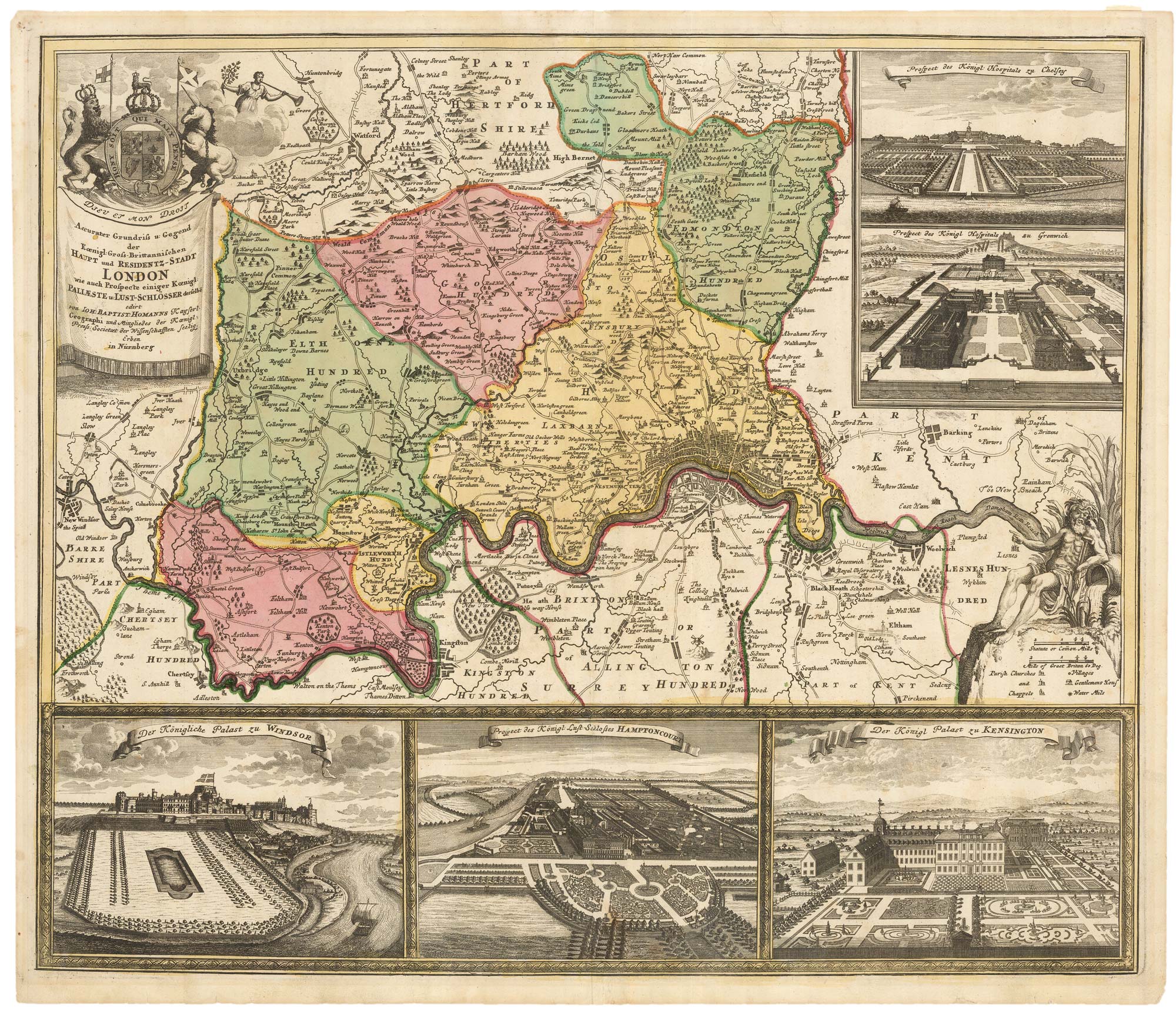
Map of the environs of London with inset views of Royal Palaces
HOMANN, Johann Baptist. Date: 1710 Stock #: 23003 £1,250.00
Add to Wishlist
Add to Wishlist

An uncommon two-sheet plan of 17th century Rome
FALDA, Giovanni Battista. Date: 1710 Stock #: 22077 £1,900.00
Add to Wishlist
Add to Wishlist
Add to Wishlist
Add to Wishlist
Add to Wishlist
Add to Wishlist
Add to Wishlist
Add to Wishlist
Add to Wishlist
Add to Wishlist

Add to Wishlist
Add to Wishlist