
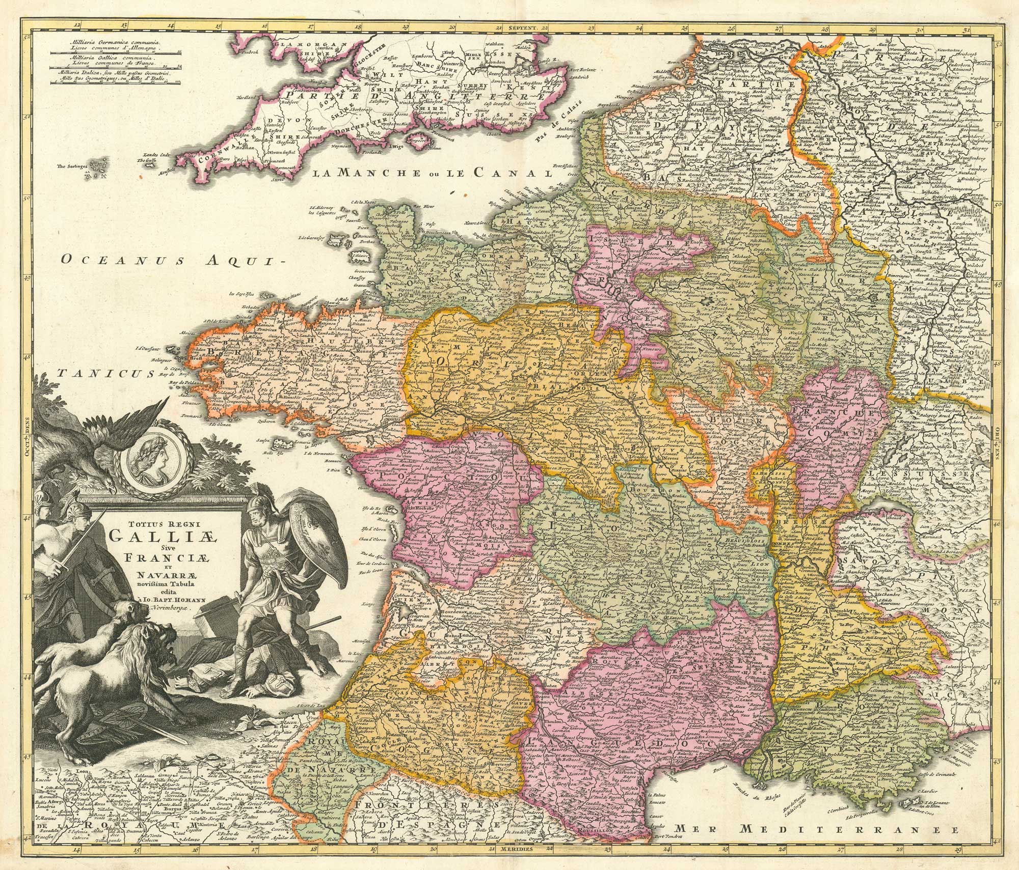


18th century map of France
Totius Regni Galliae sive Franciae et Navarrae Novissima Tabula.
Nuremberg, c.1710. Original colour. Size 490mm x 575mm.
£250.00
1 in stock
x
Question About This Item?
18th century map of France & HOMANN, Johann Baptist.Stock #: 26386"*" indicates required fields
Similar to Sell?
Add to Wishlist
Add to Wishlist
Description
A fine example of this detailed map of France at the start of the War of the Spanish Succession, showing the principal towns and cities, road networks, and the varied terrain of the kingdom. The map is enhanced by an elaborate cartouche depicting soldiers fending off lions.
Johann Baptist Homann, founder of the Homann publishing house in Nuremberg, was one of the leading cartographers of early 18th-century Europe. His maps combine clear geographic presentation with rich engraving and were widely disseminated across the continent.
Condition:
A good example.Related products
-

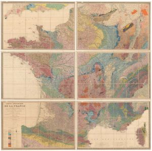
The first geological map of France
DUFRENOY, P.A. & ELIE DE BEAUMONT, J.B. Date: 1870Stock #: 26067 £3,500.00 -

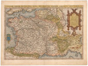
An early edition of Ortelius’s map of France
ORTELIUS, Abraham. Date: 1570Stock #: 23234 £650.00 -

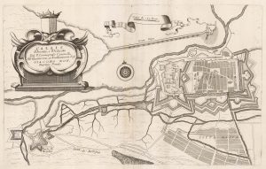
A 17th century plan of the defences of Calais
CORONELLI, Vincenzo Maria. Date: 1689Stock #: 21662 £280.00 -

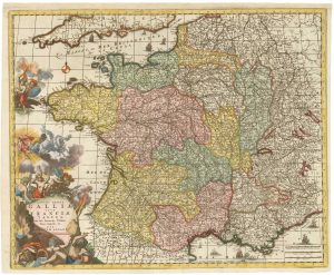
A decorative 18th century map of France
ALLARD, Carel. Date: 1717Stock #: 26295 £650.00 -

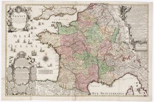
A decorative four-sheet map of France in fine colour
INSELIN, Charles. Date: 1713Stock #: 11666 £2,000.00 -

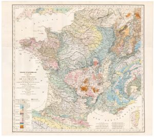
The index map of the first geological map of France
DUFRENOY, P.A. & ELIE DE BEAUMONT, J.B. Date: 1841Stock #: 22488 £650.00 -

A map of the early Church in France
SANSON, Nicolas. Date: 1704Stock #: 22063 £340.00 -

A rare ‘carte à figures’ map of France
KEERE, Pieter van den. Date: 1630Stock #: 22258 £3,500.00 -

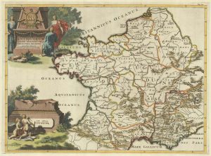
A decorative 18th century map of France
BRION DE LA TOUR, Louis. Date: 1770Stock #: 15529 £200.00
Items by the same author
Add to Wishlist
Add to Wishlist

Add to Wishlist
Add to Wishlist
Add to Wishlist
Add to Wishlist
Add to Wishlist
Add to Wishlist
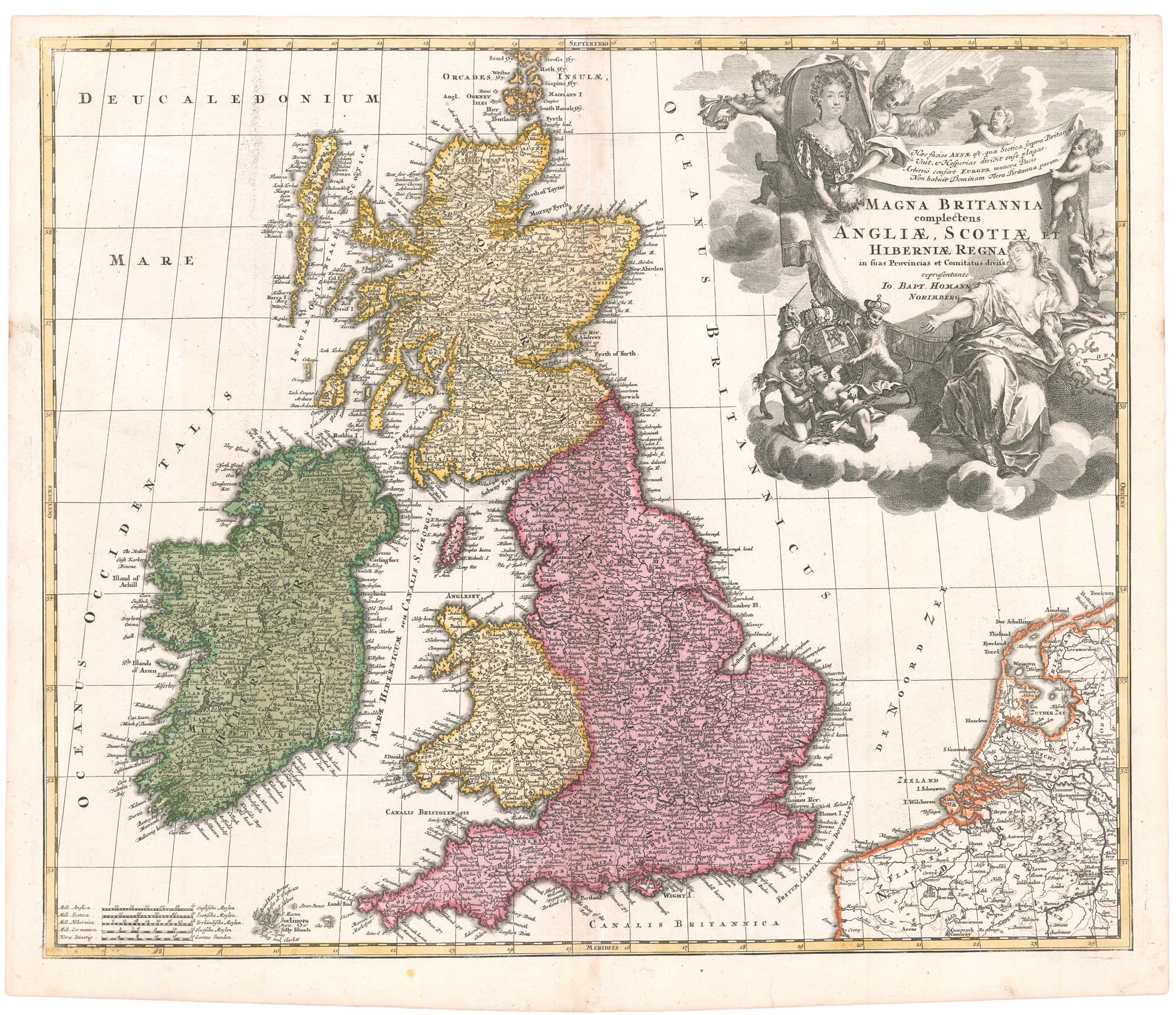
An early 18th century map of the British Isles, with a portrait of Queen Anne
HOMANN, Johann Baptist. Date: 1707 Stock #: 26457 £350.00
Add to Wishlist
Add to Wishlist
Add to Wishlist
Add to Wishlist
