
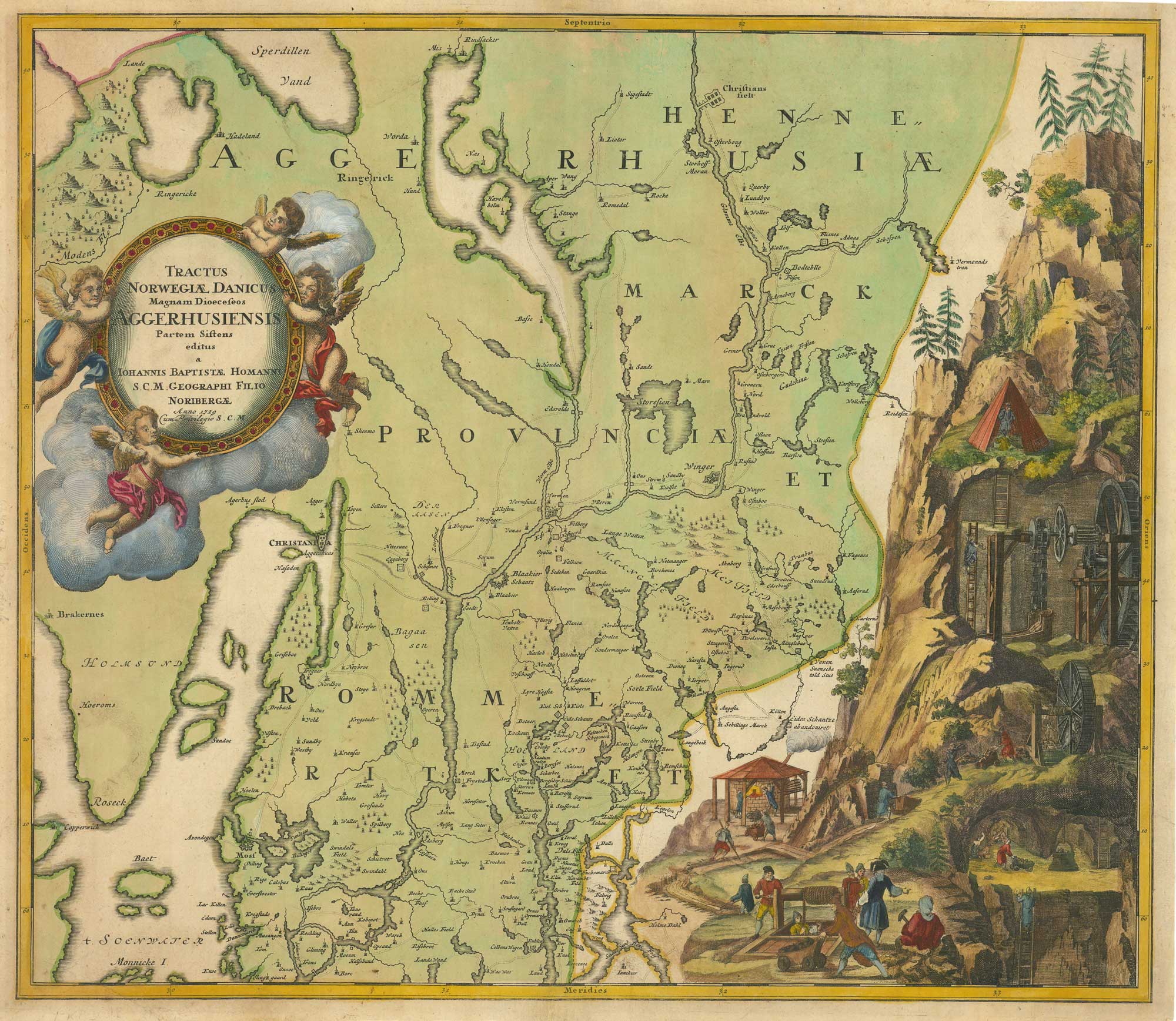


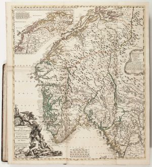
Homann’s map of Akershus, Norway
Tractus Norwegiae Danicus Magnam Dioeceseos Aggerhusiensis
Nuremberg, 1729. Original colour. 475 x 555mm.
£480.00
1 in stock
x
Question About This Item?
Homann’s map of Akershus, Norway & HOMANN, Johann Baptist.Stock #: 26425"*" indicates required fields
Similar to Sell?
Add to Wishlist
Add to Wishlist
Description
A detailed map of the Akershus region of Norway, centred on Christiania (Oslo) and its surrounding towns, roads, and fortifications. The map presents the administrative and geographic structure of the area within the Danish-Norwegian realm.
A particularly striking feature is the large mining vignette at right, depicting a cross-section of a mountain mine and illustrating contemporary engineering and extraction techniques. This detailed scene provides a rare visual insight into early modern mining practices.
Condition:
A good example.Related products
-

A decorative 18th century map of Norway
HOMANN, Johann Baptist. Date: 1720Stock #: 20195 £500.00 -
![XIII Norwegia. [&] Nord IV. Norwegia. [&] Nord 9. Norwegia by Anonymous., 1790.](data:image/svg+xml,%3Csvg%20xmlns='http://www.w3.org/2000/svg'%20viewBox='0%200%20300%20557'%3E%3C/svg%3E)
Four scarce Italian playing cards depicting Norway
Anonymous. Date: 1790Stock #: 24246 £850.00 -

The Siege of Fredriksten, 1718
HOMANN, Johann Baptist. Date: 1720Stock #: 11091 £550.00 -

A 17th century map of the environs of Bergen
JANSSON, Jan. Date: 1680Stock #: 26334 £500.00 -

The Natural History of Norway, including sea-monsters!
PONTOPPIDAN, Erich. Date: 1755Stock #: 11264 £1,950.00 -

‘the first modern regional map of Scandinavia’
DE JODE, Gerard. Date: 1578Stock #: 26415 £12,500.00
![XIII Norwegia. [&] Nord IV. Norwegia. [&] Nord 9. Norwegia by Anonymous., 1790.](https://altea-gallery-cdn.s3.eu-west-2.amazonaws.com/wp-content/uploads/2025/05/17114911/alteashop_24246-300x557.jpg)
Items by the same author
Add to Wishlist
Add to Wishlist

Add to Wishlist
Add to Wishlist
Add to Wishlist
Add to Wishlist
Add to Wishlist
Add to Wishlist
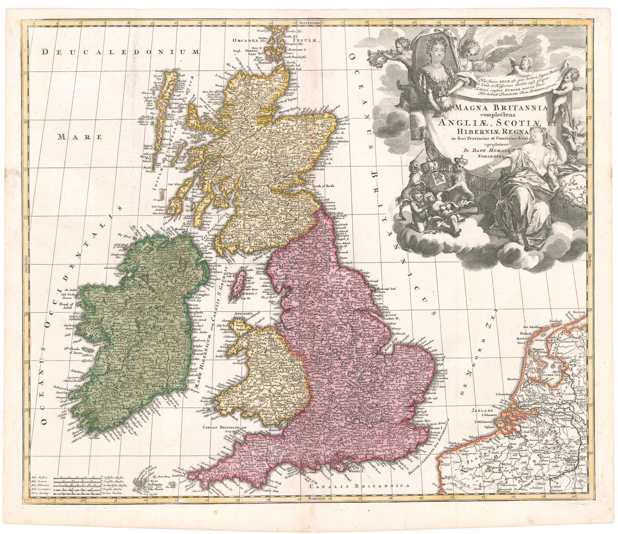
An early 18th century map of the British Isles, with a portrait of Queen Anne
HOMANN, Johann Baptist. Date: 1707 Stock #: 26457 £350.00
Add to Wishlist
Add to Wishlist
Add to Wishlist
Add to Wishlist
