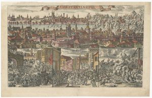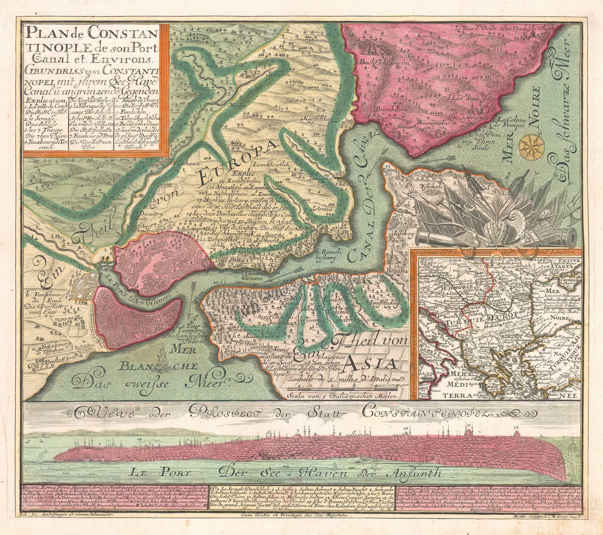


An unusual 18th century map of the environs of Constantinople
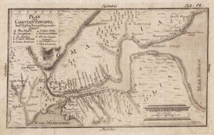
Plan de Constantinople de son Port Canal et Environs.
Augsburg: Matthaus Seutter, 1735. Original colour. 485mm x 555mm.
£1,600.00
1 in stock
x
Question About This Item?
An unusual 18th century map of the environs of Constantinople & ANDELFINGER, Johann Jacob.Stock #: 26042"*" indicates required fields
Similar to Sell?
Add to Wishlist
Add to Wishlist
Description
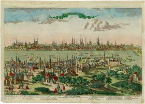
A map of the environs of Constantinople and the Bosphorus, with an inset map of the Balkans area and a prospect of the city, with a key identifying major sites, including the Seraglio (Topkapı Palace), the Hagia Sophia, and the Sultan Selim Mosque.
Condition:
Slight spotting in the margins.Related products
-

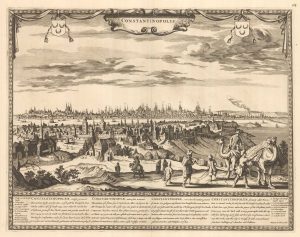
A scarce 17th century prospect of Constantinople
DE WIT, Frederick. Date: 1695Stock #: 26110 £3,600.00 -

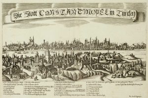
A scarce 17th century prospect of Constantinople
KOPPMAYR, Jacob. Date: 1689Stock #: 17250 £400.00 -

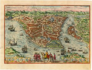
An important 16th century town plan of Constantinople
BRAUN, Georg & HOGENBERG, Frans. Date: 1574Stock #: 26414 £2,900.00 -

A map of Istanbul presented as a bird’s eye view
MYLLER, Angelicus Maria. Date: 1730Stock #: 15408 £400.00 -

A prospect of 17th century Constantinople
AVELINE, Pierre A. Date: 1760Stock #: 26496 £1,800.00 -

A 16th century town plan of Constantinople
ROTA, Martin. Date: 1598Stock #: 23182 £450.00 -

A plan of the Bosphorus
Anonymous. Date: 1730Stock #: 20528 £140.00 -

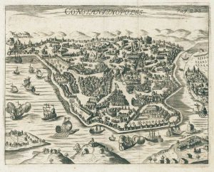
A scarce 17th century miniature plan of Constantinople
BEAUVAU, Henri de. Date: 1615Stock #: 26219 £340.00 -

The Fall of Constantinople in 1493
BOETHIUS, Christoph. Date: 1700Stock #: 26678 £650.00