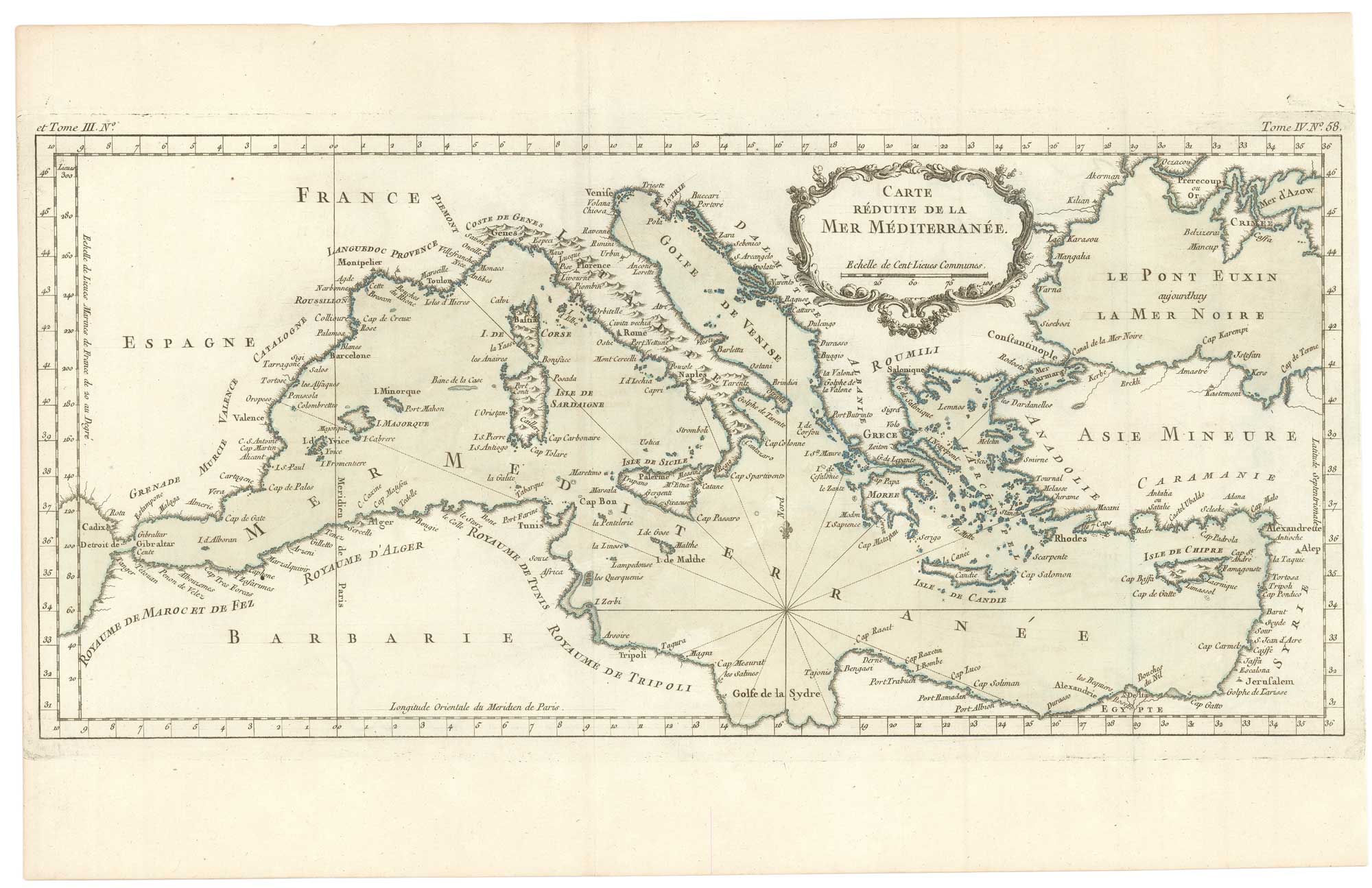


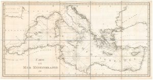
An uncommon 18th century chart of the Mediterranean Sea
Carte Réduite de la mer Mediterranée.
Paris, 1764. Original colour. 250 x 515mm.
£200.00
1 in stock
x
Question About This Item?
An uncommon 18th century chart of the Mediterranean Sea & BELLIN, Jacques-Nicolas.Stock #: 26486"*" indicates required fields
Similar to Sell?
Add to Wishlist
Add to Wishlist
Description
A detailed sea chart of the whole of the Mediterranean Sea, from the Strait of Gibraltar to Cyprus, and northward to the Black Sea published in Bellin's uncommon sea atlas, the 'Petit Atlas Maritime'.
Condition:
Narrow lateral margins.Related products
-

A 17th century sea chart of the Eastern Mediterranean Sea
LEVANTO, Francesco Maria. Date: 1696Stock #: 19694 £1,200.00 -

A 17th century chart of the eastern Mediterranean in fine colour.
DE WIT, Frederick. Date: 1745Stock #: 24490 £1,600.00 -

A detailed 18th century chart of the Mediterranean Sea
DUPUIS, Louis André. Date: 1785Stock #: 18383 £1,200.00 -

Frontispiece from ‘Peregrinus in Jerusalem’
MYLLER, Angelicus Maria. Date: 1735Stock #: 17187 £160.00 -

A scarce Irish chart of the Western part of the Mediterranean
GRIERSON, George Date: 1735Stock #: 14456 £2,000.00 -

18th century sea chart of the Mediterranean
SEALE, Richard William. Date: 1745Stock #: 24897 £650.00 -

The Peregrinations of Saint Paul in superb original colour
ORTELIUS, Abraham. Date: 1603Stock #: 23745 £1,400.00 -

Mid 19th map of British possessions in the Mediterranean
TALLIS, John. Date: 1851Stock #: 17748 £170.00 -

Uncommon map of the Eastern Mediterranean with Cyprus
ROSACCIO, Giuseppe. Date: 1598Stock #: 19739 £900.00

Items by the same author
Add to Wishlist
Add to Wishlist
Add to Wishlist
Add to Wishlist
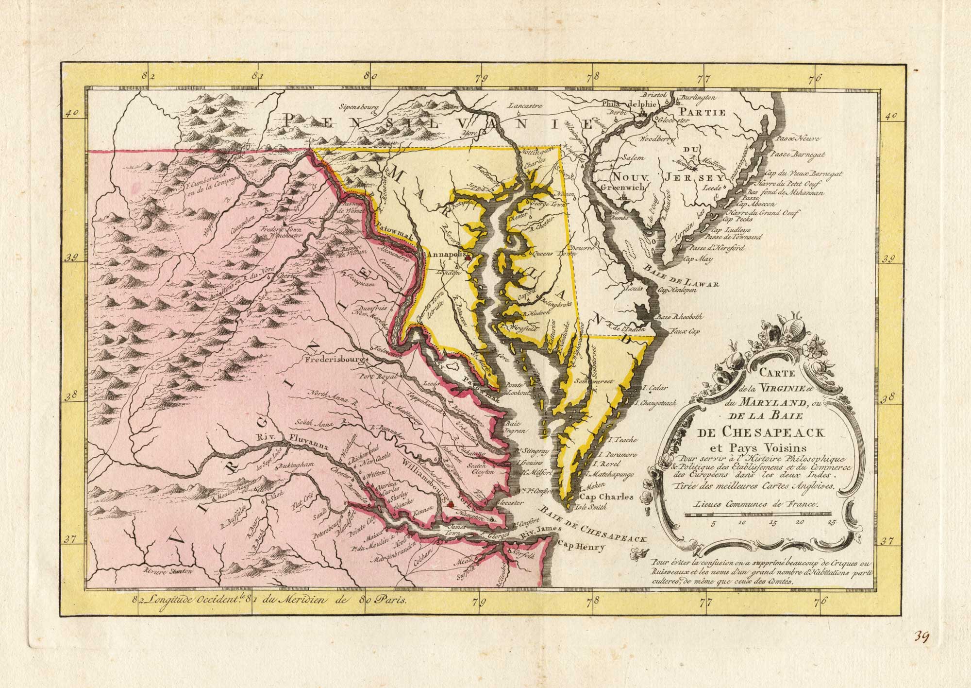
18th century map of the environs of Chesapeake Bay
BELLIN, Jacques-Nicolas. Date: 1773 Stock #: 25489 £400.00
Add to Wishlist
Add to Wishlist
Add to Wishlist
Add to Wishlist

Add to Wishlist
Add to Wishlist
Add to Wishlist
Add to Wishlist