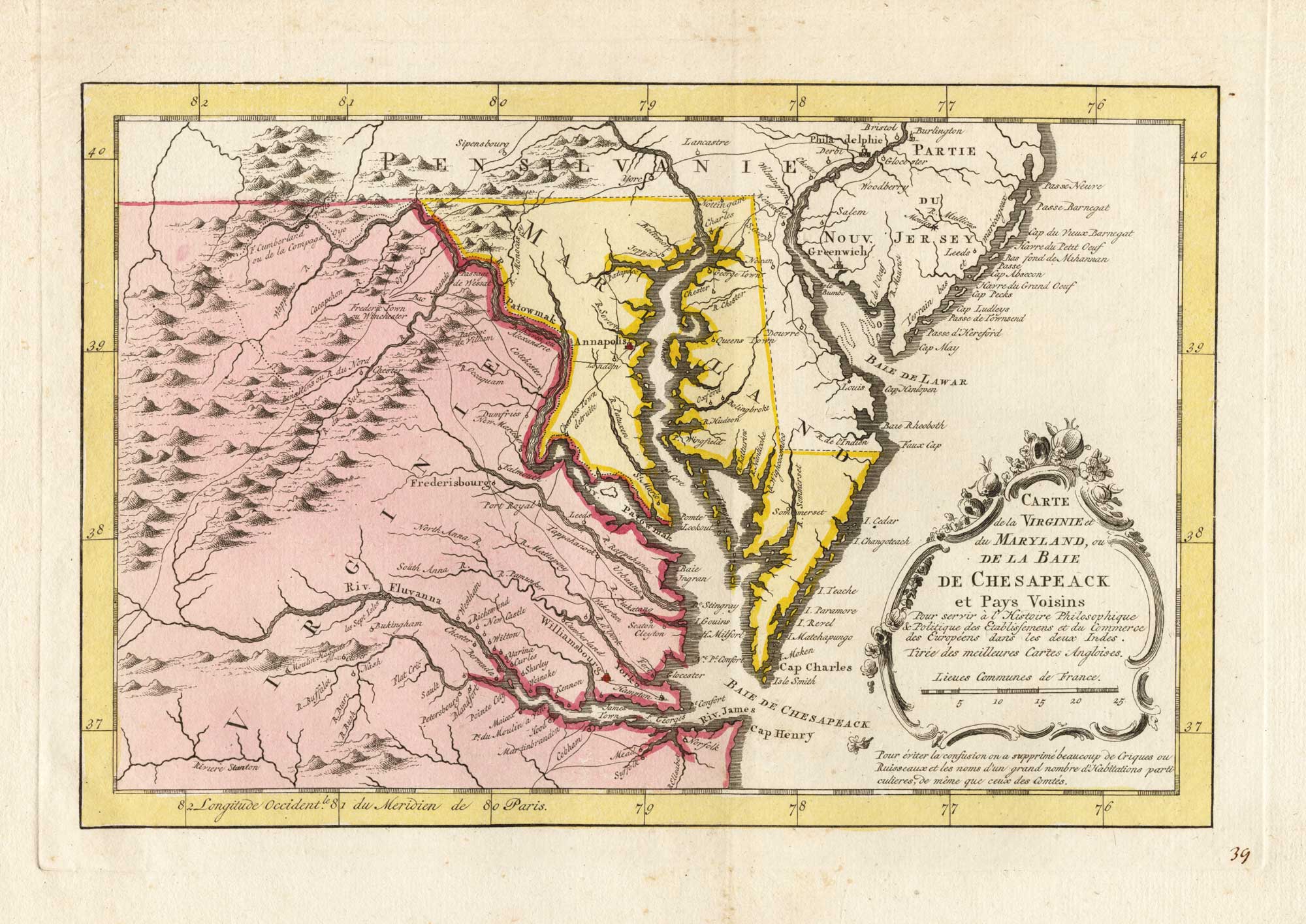


18th century map of the environs of Chesapeake Bay
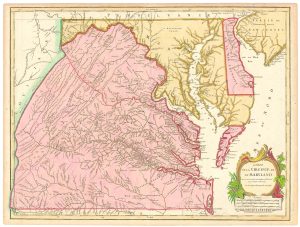
Carte de la Virginie et du Maryland, ou de la Baie de Chesapeack et Pays Voisins.
Amsterdam: Ernest van Harrevelt & Daniel Jean Changuion, 1773. Original hand colour. 185mm x 285mm.
£400.00
1 in stock
x
Question About This Item?
18th century map of the environs of Chesapeake Bay & BELLIN, Jacques-Nicolas.Stock #: 25489"*" indicates required fields
Similar to Sell?
Add to Wishlist
Add to Wishlist
Description
A different version of Bellin's map of the environs of Chesapeake Bay, with Maryland, Delaware (just before the settlement between Penn and Lord Baltimore, with Delaware properly shown as part of Pennsylvania), and part of Virginia.
Bellin's map was first issued in Prèvost's 'Histoire Generale des Voyages'; this example comes from Abbé Raynal's 'Histoire Philosophique et Politique des etablissements & du commerce des Européens dans les deux Indes'. Written in collaboration with other writers, including Denis Diderot, its Radical tone earned it a place on the Roman Catholic Church's Index of Forbidden Books, requiring it to be burned.
Condition:
A good example.Related products
-

Virginia and Florida from the first English Edition of the ‘Atlas Minor’
HONDIUS, Jodocus. Date: 1635Stock #: 22380 £680.00 -

Virginia & Florida
BLAEU, Willem Janszoon. Date: 1647Stock #: 10145 £1,350.00 -

A 17th century map of Virginia from a pocket atlas
JANSSON, Jan. Date: 1631Stock #: 25066 £500.00 -

A mid-18th century map of the environs of Chesapeake Bay
BOWEN, Emanuel. Date: 1747Stock #: 25552 £950.00 -

A derivative of John Smith’s map of Virginia
SMITH, John. Date: 1627Stock #: 24496 £5,500.00 -

The First Dutch Map of Virginia
HONDIUS, Jodocus II. Date: 1647Stock #: 25726 £1,800.00 -

A French edition of an important map of Virginia
FRY, Joshua & JEFFERSON, Peter. Date: 1793Stock #: 24838 £1,300.00 -

17th century map of Virginia
MONTANUS, Arnoldus. Date: 1671Stock #: 24929 £980.00 -

An 18th century English map of Virginia and Maryland
MOLL, Herman. Date: 1732Stock #: 25473 £1,100.00
Items by the same author
Add to Wishlist
Add to Wishlist
Add to Wishlist
Add to Wishlist
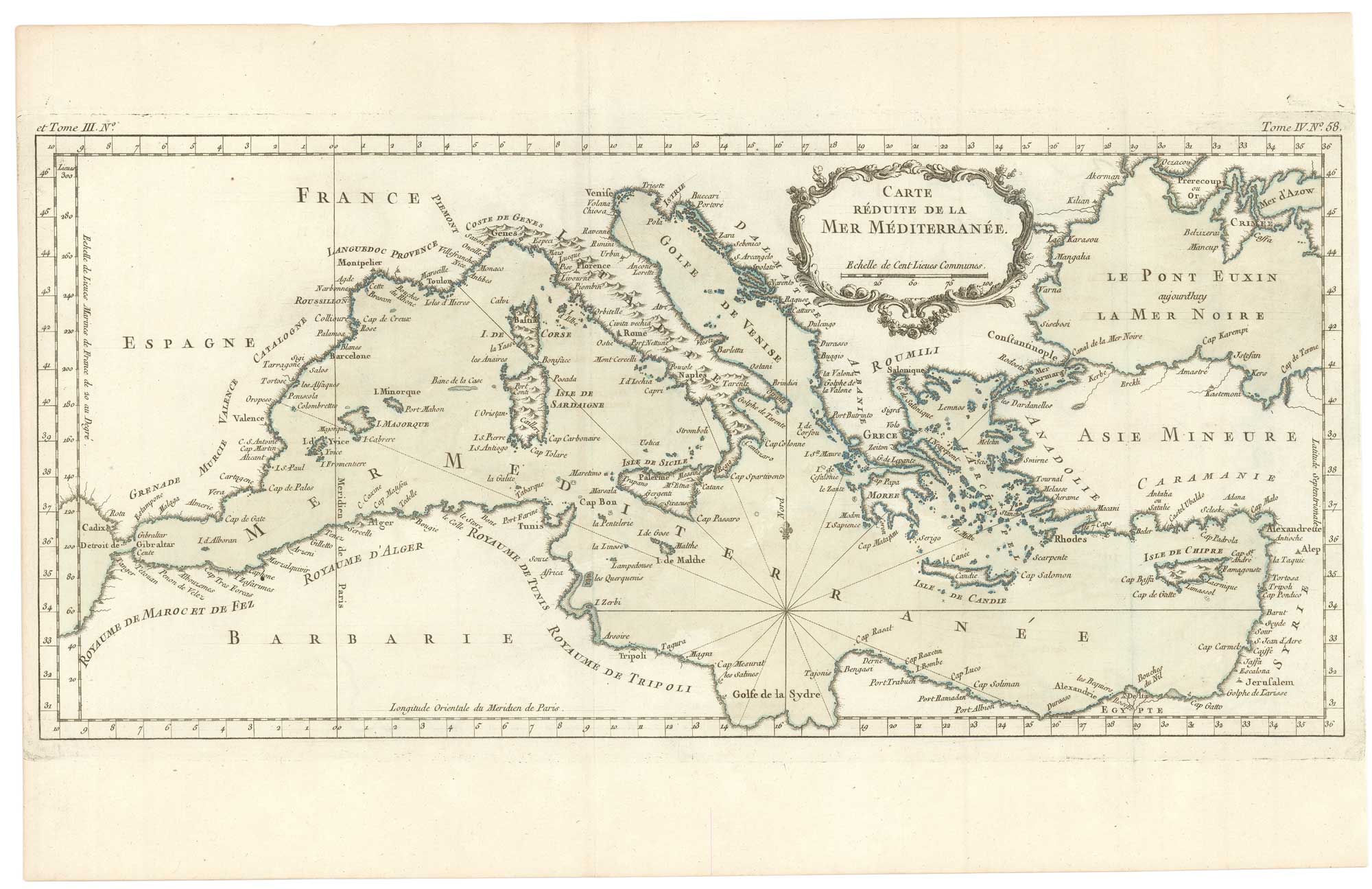
An uncommon 18th century chart of the Mediterranean Sea
BELLIN, Jacques-Nicolas. Date: 1764 Stock #: 26486 £200.00
Add to Wishlist
Add to Wishlist
Add to Wishlist
Add to Wishlist

Add to Wishlist
Add to Wishlist
Add to Wishlist
Add to Wishlist