

18th century map of Sicily
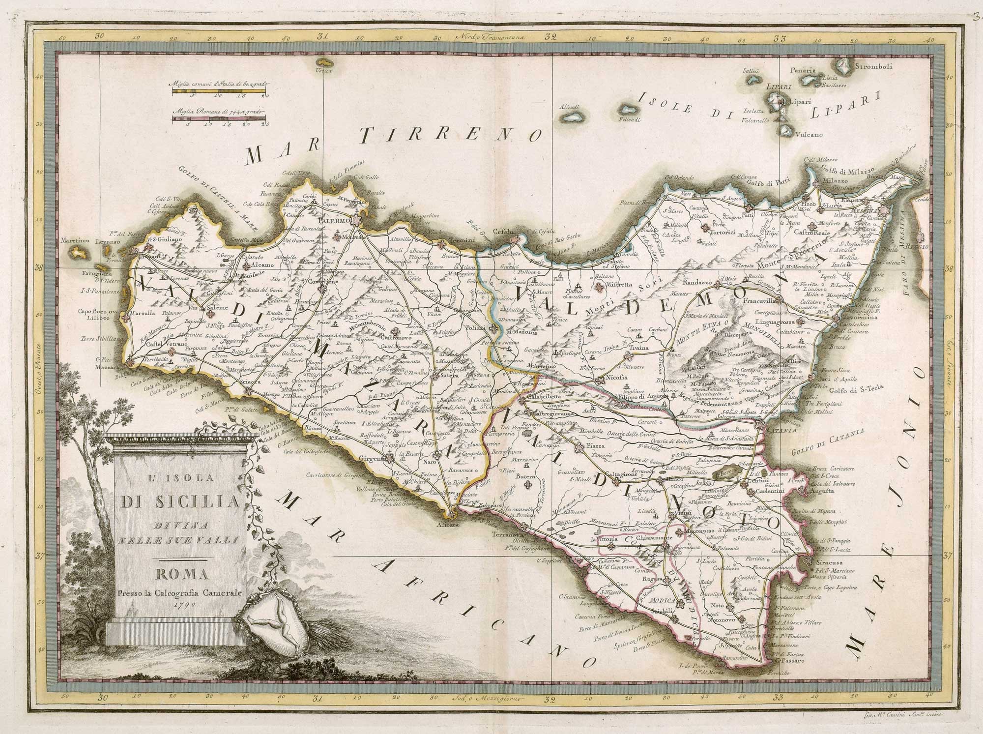
L'Isola di Sicilia divisa nelle sue Valli.
Rome, 1790. Original Colour. 355 x 485mm.
£450.00
1 in stock
x
Question About This Item?
18th century map of Sicily & CASSINI, Giovanni Maria.Stock #: 17648"*" indicates required fields
Similar to Sell?
Add to Wishlist
Add to Wishlist
Description
A scarce map of Sicily, published in the scarce atlas, the 'Nuovo atlante geografico universale'. The title is on a plinth, with a shield with a triskelion on the ground.
Condition:
A good example.Related products
-

Mercator’s first issue folio map of Sicily in original colour
MERCATOR, Gerard. Date: 1628Stock #: 23392 £1,400.00 -

Map of Sicily in classical times
JANSSON, Jan. Date: 1700Stock #: 19769 £500.00 -

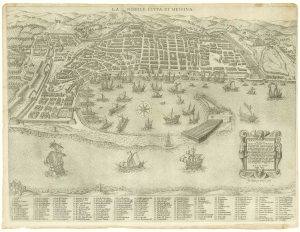
An early plan of Messina published by Antonio Lafreri
ARGARIA, Casparo. Date: 1567Stock #: 18591 £2,850.00 -

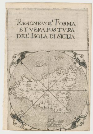
A rare 16th century miniature map of Sicily
FERRETTI, Francesco. Date: 1579Stock #: 21836 £700.00 -

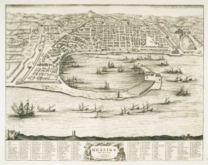
Town plan of Messina in Sicily
BLAEU, Johannes. Date: 1705Stock #: 12823 £370.00 -

17th century Italian map of Sicily
CANTELLI DA VIGNOLA, Giacomo. Date: 1682Stock #: 23653 £1,250.00 -

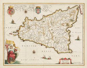
17th century map of Sicily
BLAEU, Willem Janszoon. Date: 1640Stock #: 13878 £900.00 -
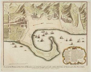
Town plan of Messina
BASIRE, Isaac. Date: 1750Stock #: 14147 £180.00 -

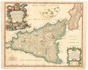
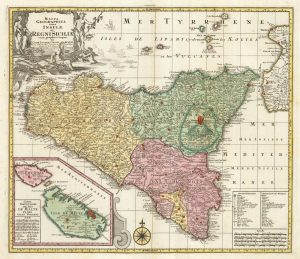
18th century map of Sicily, with an inset of Malta
SEUTTER, Matthaus. Date: 1760Stock #: 22738 £550.00
Items by the same author
Add to Wishlist
Add to Wishlist
Add to Wishlist
Add to Wishlist
Add to Wishlist
Add to Wishlist

Add to Wishlist
Add to Wishlist
Add to Wishlist
Add to Wishlist
Add to Wishlist
Add to Wishlist