

Scarce map of the Holy Land in fine original colour
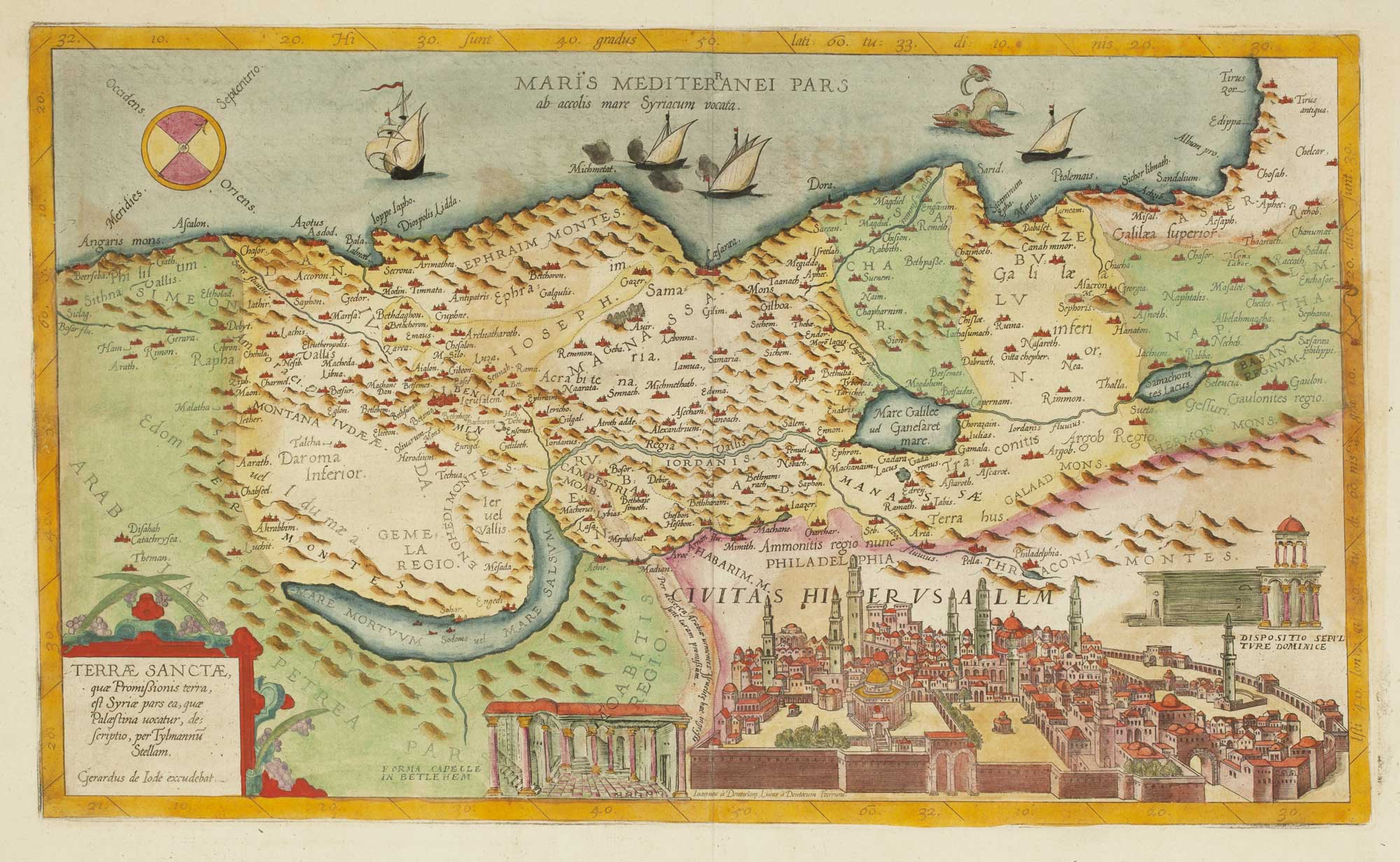
Terrae Sanctae, quae Promissionis Terra, est Syriae pars ea, quae Palaestina vocatur, descriptio, Tylmannu Stellam.
Antwerp, Arnold Coninx for the widow and heirs of Gerard de Jode, 1593. Fine original colour. 310 x 515mm.
x
Question About This Item?
Scarce map of the Holy Land in fine original colour & DE JODE, Gerard.Stock #: 12609"*" indicates required fields
Similar to Sell?
Add to Wishlist
Add to Wishlist
Description
Rare map of the Holy Land, engraved by the brothers Johannes and Lucas van Deutecum after the broadsheet map by Tilemann Stella of 1557, now lost. Along the lower border is a prospect of Jerusalem and two smaller insets, showing the chapel at Jerusalem and the Church of the Holy Sepulchre.
First issued in the 'Speculum Orbis Terrarum' in 1578, this example comes from the second and final edition, enlarged by Gerard's son Cornelis. After Cornelis died in 1600 the printing plates were bought by Vrients, then the owner of the Ortelius plates, merely to stop their re-issue. With only these two edtions, maps by de Jode are far rarer than his rival Ortelius.
Condition:
A good example.References:
LAOR: 375.Related products
-

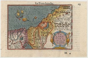
A minature map of the Holy Land
BERTIUS, Petrus. Date: 1609Stock #: 24848 £200.00 -

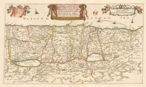
An uncommon English map of the Holy Land
BLOME, Richard. Date: 1687Stock #: 25985 £280.00 -

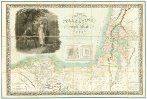
The Holy Land and Egypt in fine colour
SEATON, Robert. Date: 1829Stock #: 24596 £2,400.00 -

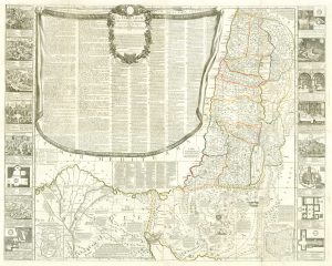
A rare wall map of the Holy Land
NOLIN, Jean Baptiste. Date: 1785Stock #: 24500 £6,000.00 -
![[An untitled map of the Holy Land in Biblical times.] by HOLE, William., 1614.](data:image/svg+xml,%3Csvg%20xmlns='http://www.w3.org/2000/svg'%20viewBox='0%200%20300%20221'%3E%3C/svg%3E)
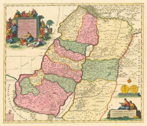
A map of the Holy Land from Raleigh’s History of the World.
HOLE, William. Date: 1614Stock #: 25981 £260.00 -

A scarce early 18th century map of the Holy Land in Biblical times
MORTIER, Pierre. Date: 1705Stock #: 26700 £450.00 -

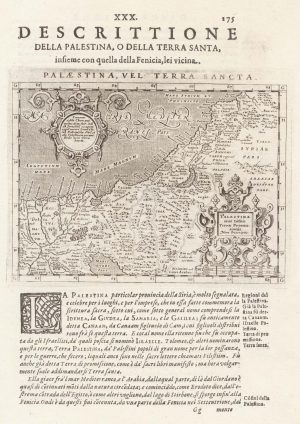
16th century map of the Holy Land
MAGINI, Giovanni Antonio. Date: 1621Stock #: 26489 £160.00 -

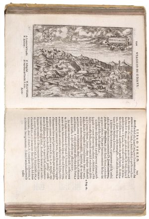
A 16th century pilgrimage to Jerusalem
ZUALLART, Jean. Date: 1595Stock #: 23825 £3,200.00 -

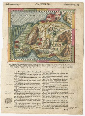
A 16th century map of the Exodus, from a ‘Geneva Bible’
POSTEL, Guillaume. Date: 1599Stock #: 24854 £200.00
![[An untitled map of the Holy Land in Biblical times.] by HOLE, William., 1614.](https://altea-gallery-cdn.s3.eu-west-2.amazonaws.com/wp-content/uploads/2025/12/18144809/alteashop_25981-300x221.jpg)
Items by the same author
Add to Wishlist
Add to Wishlist

Add to Wishlist
Add to Wishlist
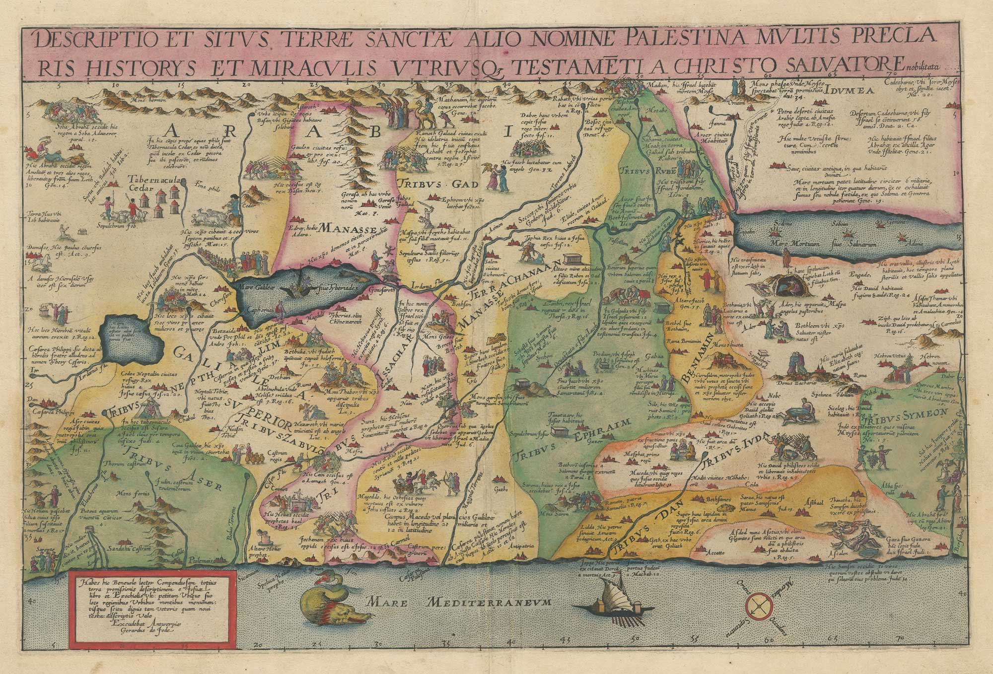
Scarce map of the Holy Land in Biblical times, in fine original colour
DE JODE, Gerard. Date: 1593 Stock #: 26558 £5,000.00
Add to Wishlist
Add to Wishlist
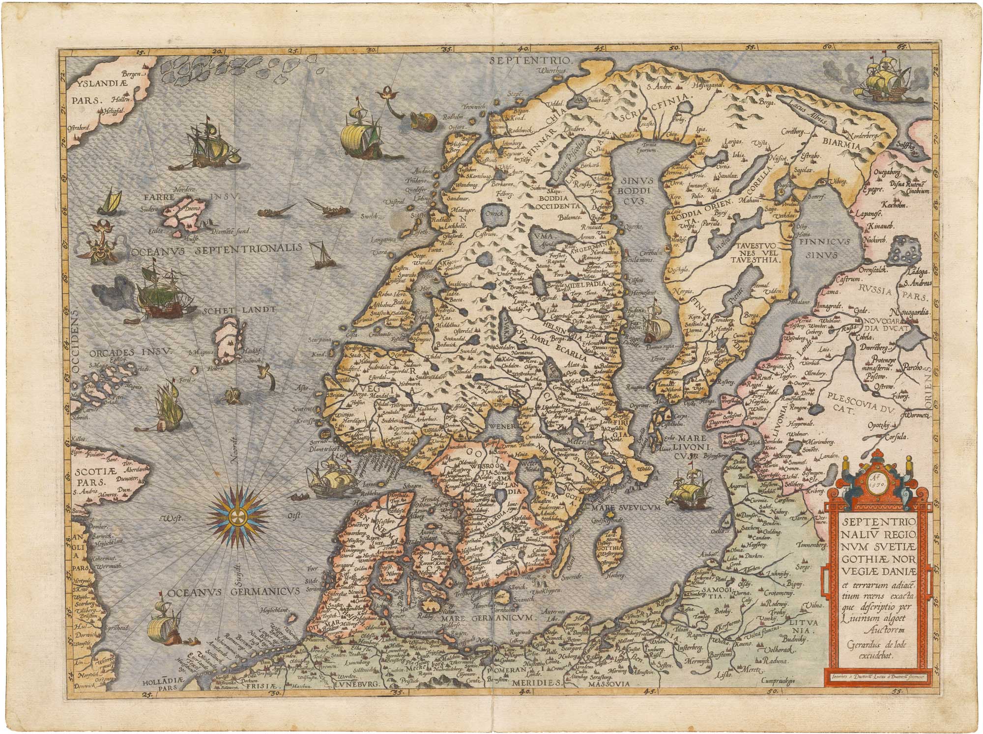
'the first modern regional map of Scandinavia'
DE JODE, Gerard. Date: 1578 Stock #: 26415 £12,500.00
Add to Wishlist
Add to Wishlist

De Jode's rare cordiform world map in fine original colour
DE JODE, Gerard. Date: 1578 Stock #: 25173 £90,000.00
Add to Wishlist
Add to Wishlist
Add to Wishlist
Add to Wishlist