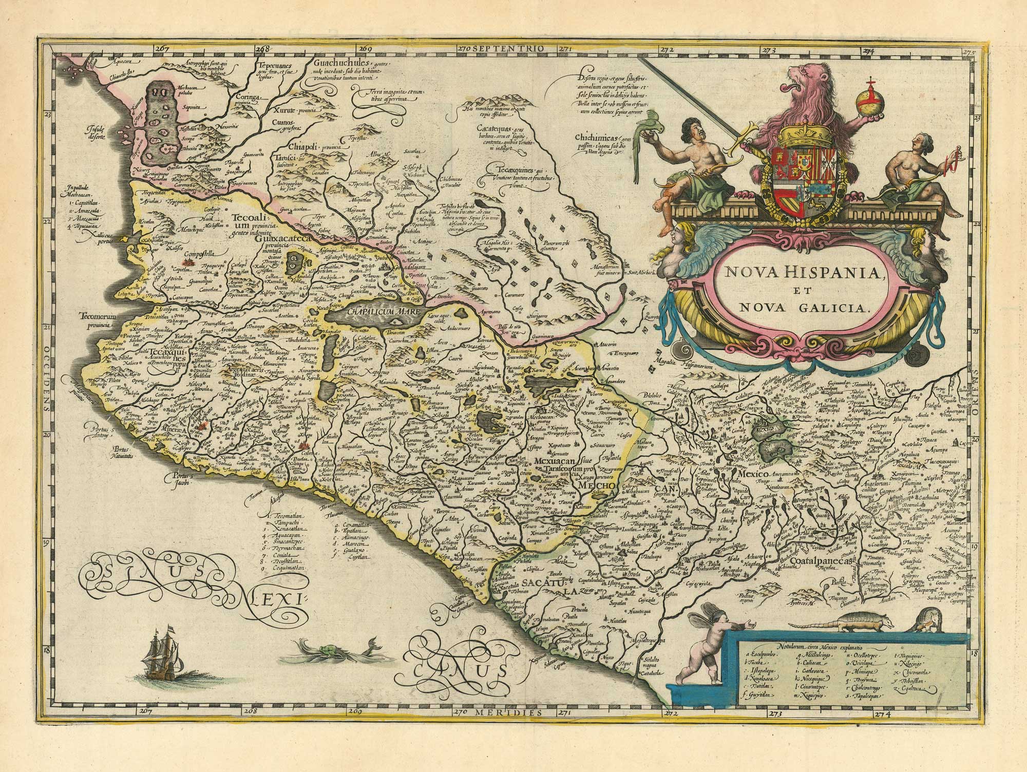
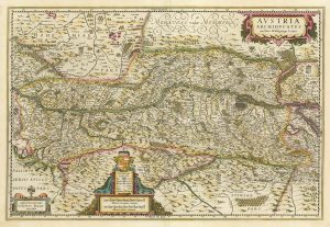
A 17th century map of Austria
Austria Archiducatus Auctore Wolfgango Lazio.
Amsterdam, c.1650, blank verso. Coloured. 395 x 495mm.
£400.00
1 in stock
x
Question About This Item?
A 17th century map of Austria & JANSSON, Jan.Stock #: 20320"*" indicates required fields
Similar to Sell?
Add to Wishlist
Add to Wishlist
Description
Austria, with decorative cartouches for the title, scale and key, based on the work of Wolfgang Laz (1514-65).
Condition:
Some restoration in marginsRelated products
-

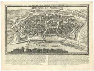
A detailed 18th century town plan of Vienna
GRIMM, Maximilian von. Date: 1791Stock #: 26600 £500.00 -

Ortelius’s map of the province of Salzburg, in fine colour
ORTELIUS, Abraham. Date: 1612Stock #: 23808 £600.00 -

A scarce plan of Innsbruck with vignettes
TEPLY, Josef. Date: 1840Stock #: 21208 £750.00 -

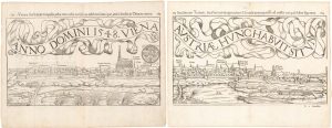
A two-sheet woodcut prospect of Vienna in the 16th century
MUNSTER, Sebastian. Date: 1548Stock #: 22492 £550.00 -

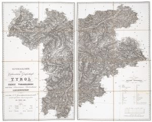
A detailed map of Tyrol, Vorarlberg and Liechtenstein
STEIN, C. Date: 1831Stock #: 20641 £450.00 -

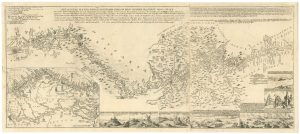
A rare German map of the Danube
Anonymous. Date: 1738Stock #: 26615 £3,750.00 -

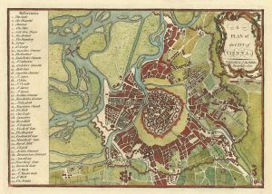
A late-18th century plan of Vienna
ANDREWS, John. Date: 1800Stock #: 24512 £230.00 -

A scarce 17th century city plan of Vienna
JOLLAIN, Claude. Date: 1685Stock #: 26671 £1,200.00 -

A 17th century map of Austria
HONDIUS, Jodocus II. Date: 1635Stock #: 23746 £350.00
Items by the same author
Add to Wishlist
Add to Wishlist
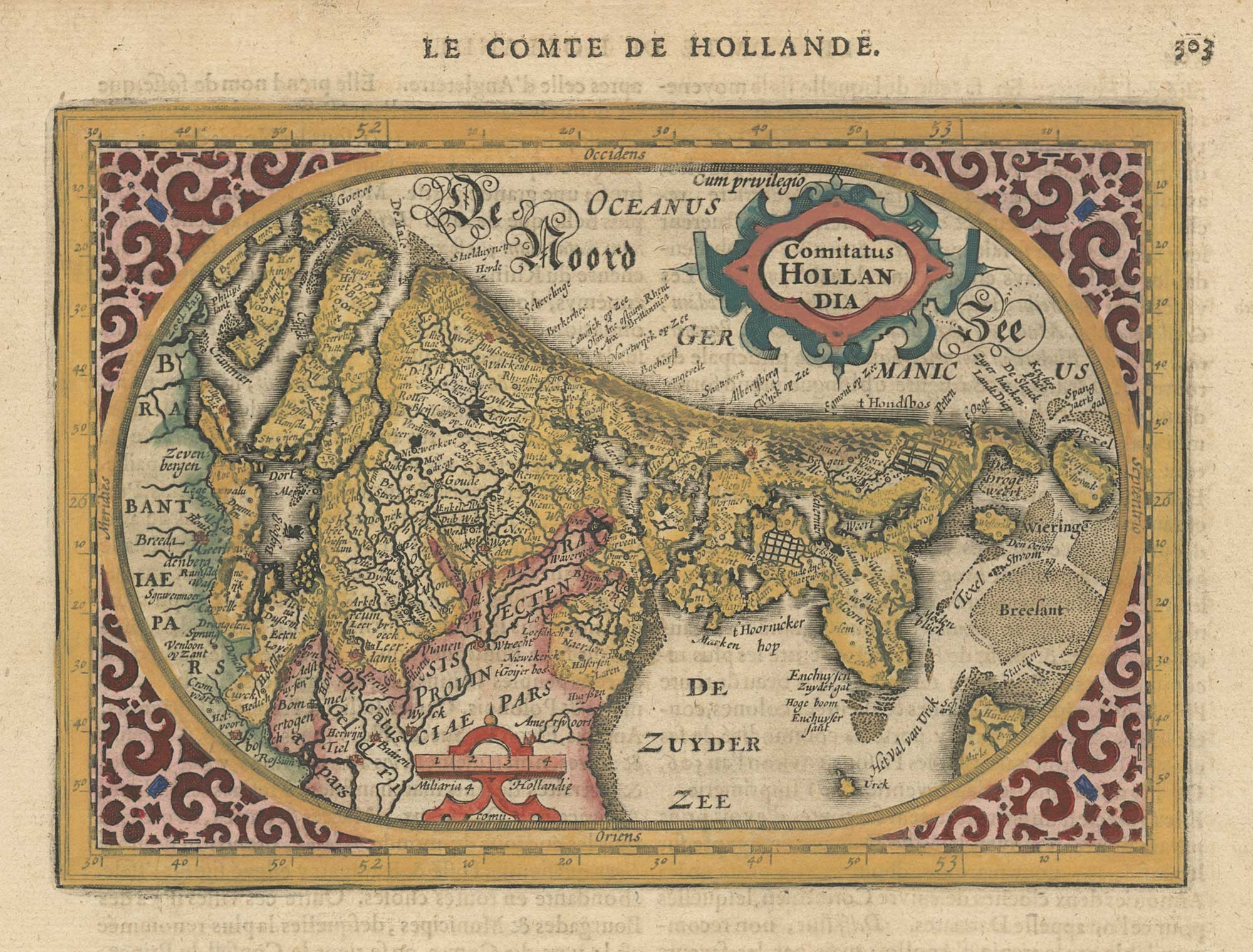
A 17th century map of the county of Holland from a pocket atlas
JANSSON, Jan. Date: 1630 Stock #: 26669 £325.00
Add to Wishlist
Add to Wishlist
Add to Wishlist
Add to Wishlist
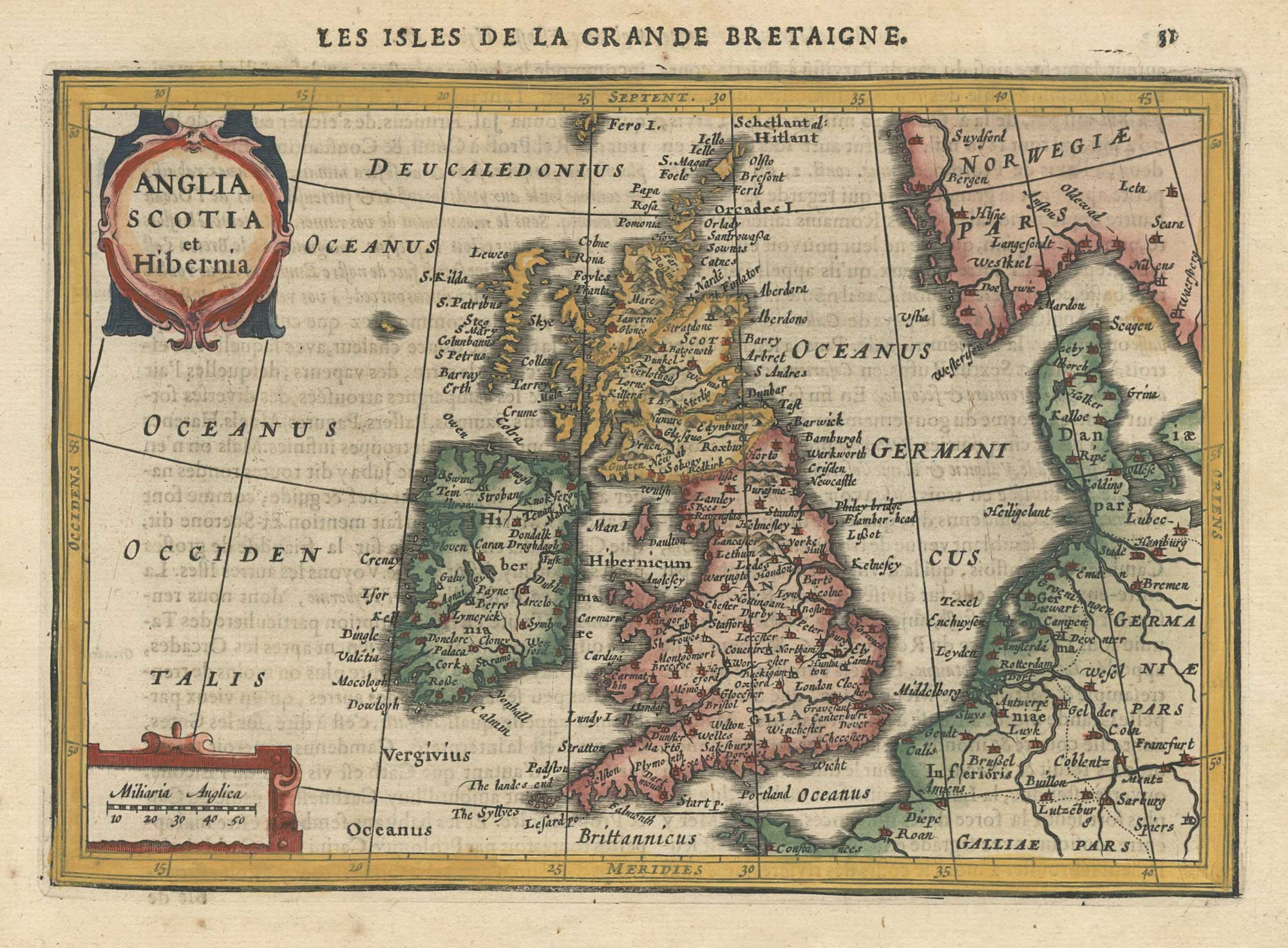
A 17th century map of the British Isles from a pocket atlas
JANSSON, Jan. Date: 1630 Stock #: 26664 £220.00
Add to Wishlist
Add to Wishlist

Add to Wishlist
Add to Wishlist
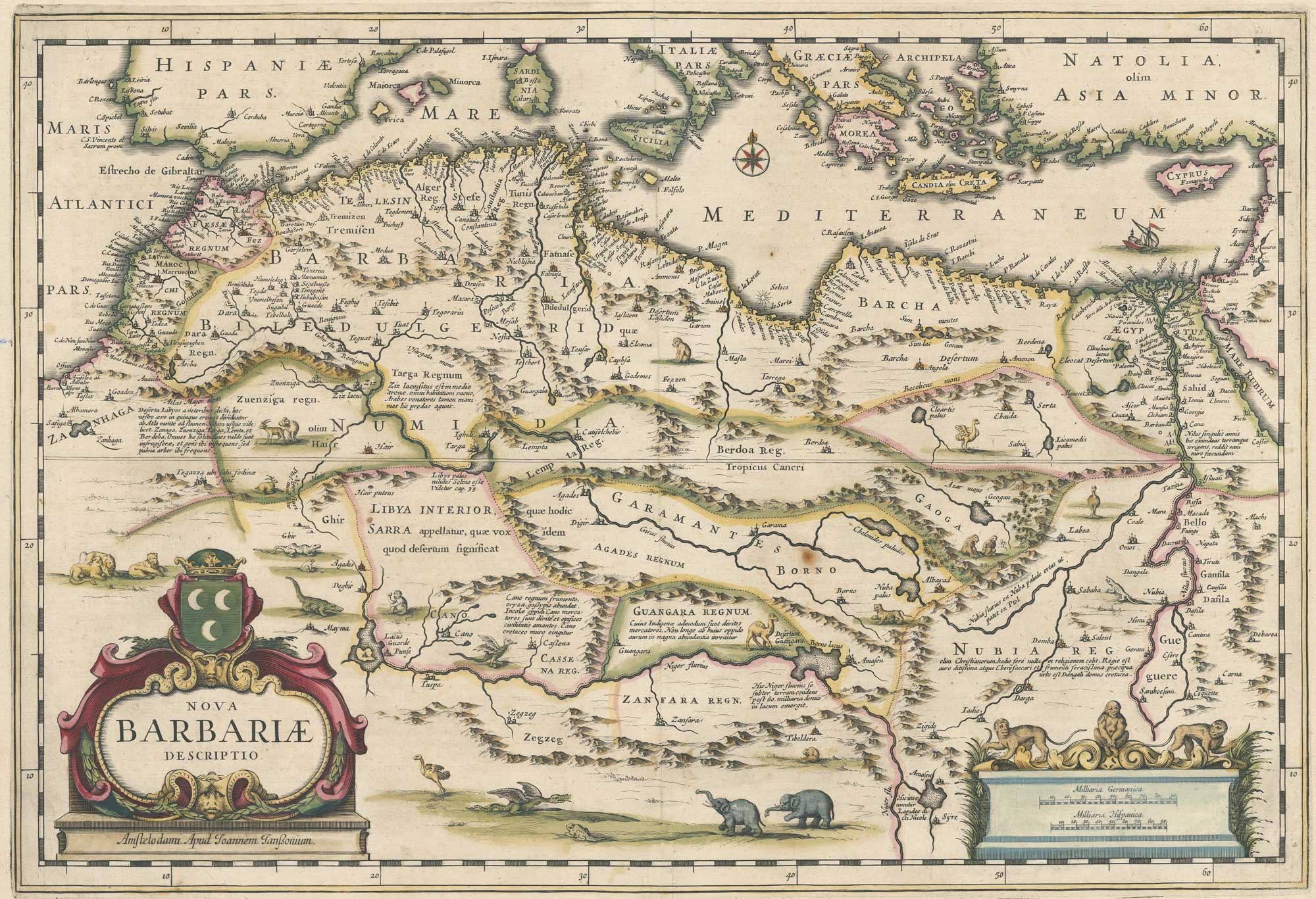
A 17th century map of North Africa decorated with dragons
JANSSON, Jan. Date: 1650 Stock #: 26721 £385.00
Add to Wishlist
Add to Wishlist