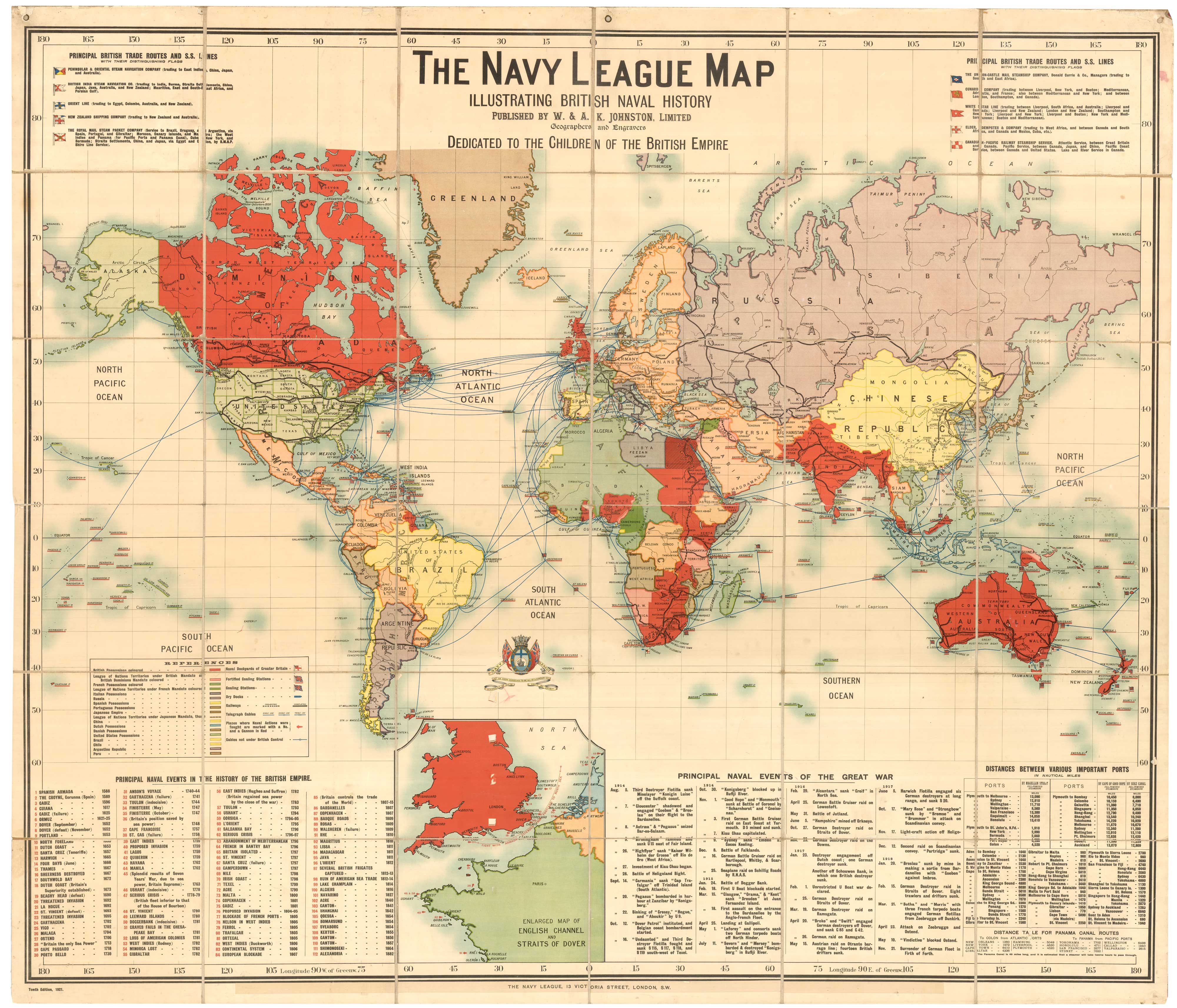


A massive world map showing the British Empire
The Navy League Map Illustrating British Naval History. Dedicated to the Children of the British Empire. Tenth Edition. 1921.
London & Edinburgh: W. & A.K. Johnstone Lrd, 1921. Colour-printed map. Dissected and laid on linen, as issued, three hanging rings at top. Total 1660 1910mm.
£8,500.00
1 in stock
x
Question About This Item?
A massive world map showing the British Empire & JOHNSTON, W. & A.K.Stock #: 25689"*" indicates required fields
Similar to Sell?
Add to Wishlist
Add to Wishlist
Description
A wall map of the World on Mercator's projection, with the British Empire marked in red, with an inset map of southern England and France south to Oleron. A key includes British dockyards, coaling stations and telegraph cables, as well as possessions of other powers. A second key lists the sites of 112 major sea battles, marked on the map with a red cannon. Two tables list the major maritime events of the First World War and the distances between major ports.
The Navy League originated as a charity orphanage at which boys taught the skills necessary for a career in the Royal Navy. In 1919 the name 'Navy League Sea Cadet Corps' was adopted, as the League opened up to non-orphans. It still operates as the Sea Cadet Corps, with Anne, the Princess Royal, as 'Admiral'.
Condition:
A good example.Related products
-

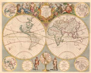
An 18th century double-hemisphere world map
HEYDT. Johann Wolfgang. Date: 1744Stock #: 17069 £650.00 -

A map of the British Empire for an Australian insurance company
BACON, George Washington. Date: 1931Stock #: 26351 £650.00 -

A mid-18th century Italian world map with allegorical figures of the continents
ALBRIZZI, Giovanni Battista. Date: 1742Stock #: 26375 £1,200.00 -

An 18th century double-hemisphere world map
CHATELAIN, Henri Abraham. Date: 1718Stock #: 23390 £1,000.00 -

A rare 16th century world map depicting the aftermath of the Deluge
ARIAS MONTANUS, Benedictus. Date: 1571Stock #: 26053 £12,500.00 -

A 17th century Dutch World map with superb decorative borders
DE WIT, Frederick. Date: 1670Stock #: 23590 £5,500.00 -
![[World] Mappa A. Mappa B. by LAS CASAS, Emmanuel., 1832.](data:image/svg+xml,%3Csvg%20xmlns='http://www.w3.org/2000/svg'%20viewBox='0%200%20300%20116'%3E%3C/svg%3E)
A double-hemisphere map of the world on two sheets
LAS CASAS, Emmanuel. Date: 1832Stock #: 21709 £450.00 -
An English world map after the Longitude Act
SENEX, John. Date: 1720Stock #: 25933 £3,250.00 -

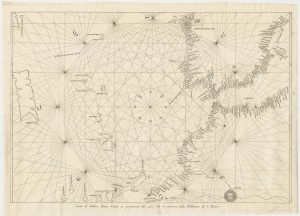
A scarce copy of a portolan chart of Spain and North Africa
BIANCO, Andrea, Date: 1782Stock #: 24790 £750.00
![[World] Mappa A. Mappa B. by LAS CASAS, Emmanuel., 1832.](https://altea-gallery-cdn.s3.eu-west-2.amazonaws.com/wp-content/uploads/2025/05/10125936/alteashop_21709-300x116.jpg)
Items by the same author
Add to Wishlist
Add to Wishlist

An aerial relief map of Afghanistan during the Great Game
JOHNSTON, W. & A.K. Date: 1885 Stock #: 23565 £2,500.00
Add to Wishlist
Add to Wishlist