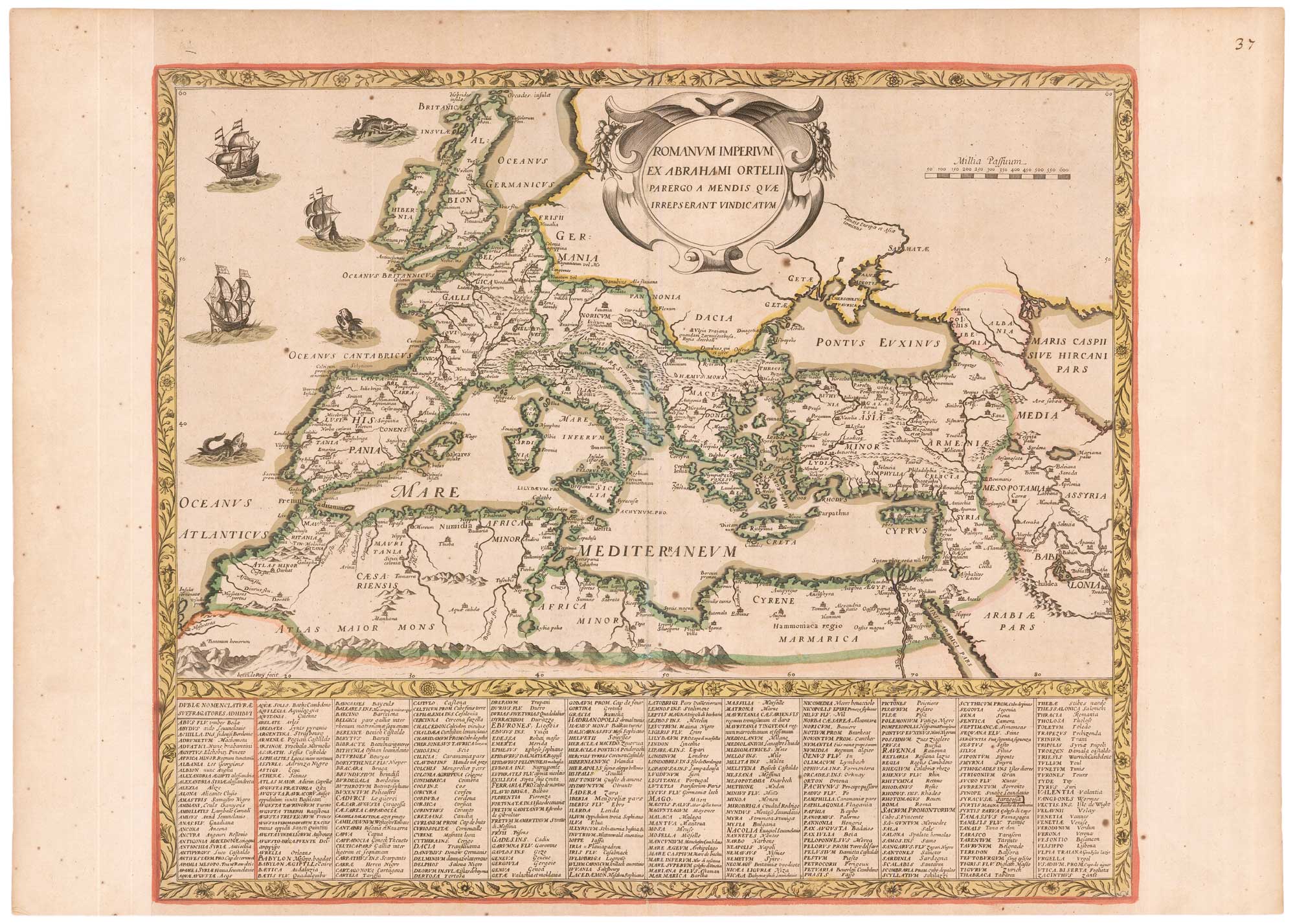


A rare French map of the Roman Empire after Ortelius
Romanum Imperium ex Abrahami Ortelii Parergo a Mendis quae Irrepserant Vindicatum.
Paris?, c.1630. Original colour. 460 x 540mm.
£2,500.00
1 in stock
x
Question About This Item?
A rare French map of the Roman Empire after Ortelius & LE ROY, Henri.Stock #: 26369"*" indicates required fields
Similar to Sell?
Add to Wishlist
Add to Wishlist
Description
A rare map of the Roman Empire after the map drawn by Abraham Ortelius for the 'Parergon', his atlas of the ancient world. Underneath is a gazetteer listing the Latin and modern French names of important cities.
The map was engraved by Henri Le Roy (1575-1651), probably as a separate-issue. He worked for the publishers Boisseau, Mariette, Tavernier and others, but this map is not listed in Pastereau.
Condition:
Trimmed to printed border at sides and mounted in old paper for inclusion in a composite atlas.Related products
-

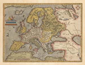
A classic early decorative map of Europe
ORTELIUS, Abraham. Date: 1598Stock #: 23861 £1,100.00 -

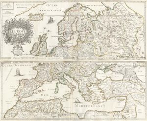
A 17th century wall map of Europe on four sheets
DU VAL, Pierre. Date: 1668Stock #: 19780 £2,000.00 -

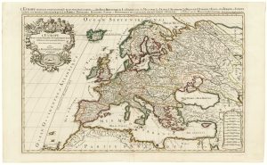
A two-sheet map of Europe
JAILLOT, Alexis-Hubert. Date: 1705Stock #: 24059 £1,000.00 -

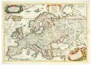
A two-sheet map of Europe
CORONELLI, Vincenzo Maria. Date: 1690Stock #: 24760 £2,600.00 -

An Italian Serio-Comic map of Europe during the Great War
Anonymous. Date: 1915Stock #: 22636 £2,500.00 -

An 18th century map of Europe
CHATELAIN, Henri Abraham. Date: 1718Stock #: 23391 £500.00 -

A two-sheet 17th century sea chart of Western Europe
MORTIER, Pierre. Date: 1693Stock #: 22755 £800.00 -

A 17th century Dutch map of Europe
ALLARD, Carel. Date: 1690Stock #: 24921 £900.00 -

A 16th century miniature map of Europe
LANGENES, Barent. Date: 1599Stock #: 21307 £250.00