

The predicted path of the 1748 solar eclipse
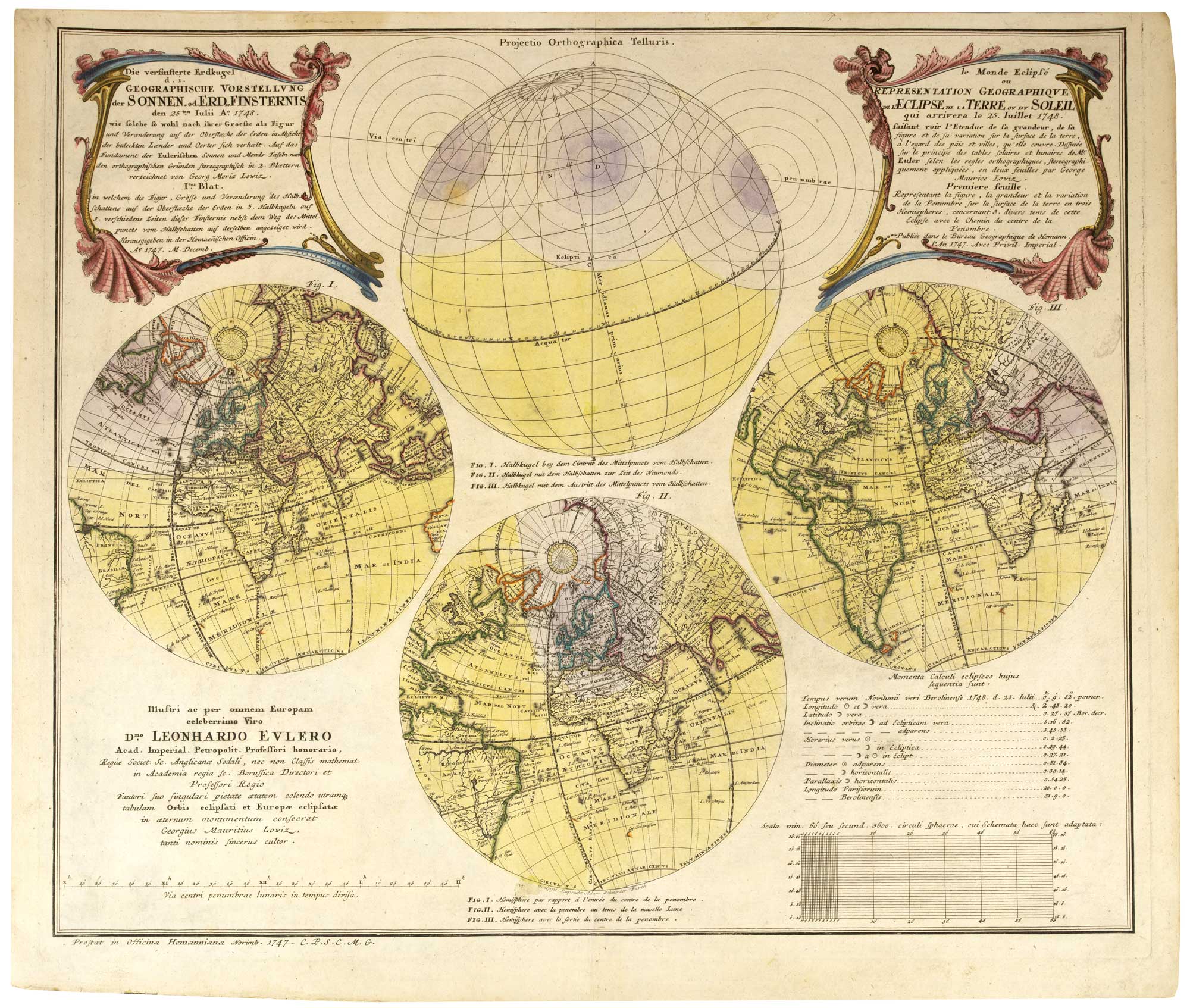
Die versinsterte Erdkugel d. i. Geographische Vorstellung der Sonnen od Erd-Finsternis den 25.ten Julii A.º 1748... le Monde Eclipsé ou Representation Geographique de L'Eclipse de la Terre ou du Soleil qui arrivera le 25 Iuillet 1748... Premiere feuille. [&] Deuxiéme Feuille..... Europa Eclipsata..
Nuremburg, Homann Heirs, 1747. Two plates. Original colour . 480 x 565mm & 500 x 570mm.
£1,800.00
1 in stock
x
Question About This Item?
The predicted path of the 1748 solar eclipse & LOWITZ, Georg Moritz.Stock #: 26205"*" indicates required fields
Similar to Sell?
Add to Wishlist
Add to Wishlist
Description
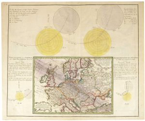
Two plates illustrating the expected path of the annular solar eclipse of 25th July 1748, calculated by the Swiss polymath Leonhard Euler (1707-83). Plate 1 has three spheres showing the penumbra over North America, Europe and western Asia; Plate 2 has a detail of the route across Scotland, Germany, Poland and the Black Sea.
The illustrations were drawn by astronomer Georg Moritz Lowitz (1722-74). Later, while working in Russia, he observed the 1769 transit of Venus (the object of Captain Cook's First Circumnavigation) and was murdered by rebel cossacks while surveying a route for a canal between the Volga and Don.
Engraved by Ruprecht Adam Schneider of Fürth and Sebastian Dorn of Nuremburg.
Condition:
A good example.Related products
-

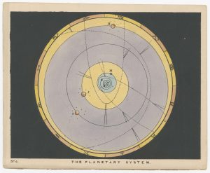
Chart of the Planetary System
BLUNT, Charles F. Date: 1845Stock #: 19246 £180.00 -

A 16th century allegorical figure of the planet Mercury
PASSE, Crispijn de. Date: 1589Stock #: 26303 £350.00 -

A 16th century allegorical figure of the planet Saturn
PASSE, Crispijn de. Date: 1589Stock #: 26300 £350.00 -

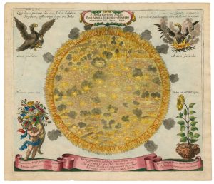
An early engraved map of the Sun
ZAHN, Johann. Date: 1686Stock #: 26491 £1,250.00 -
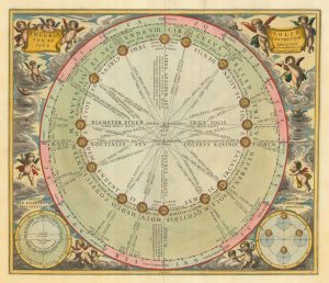
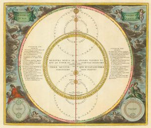
17th century chart of the motions of the Sun through the skies
CELLARIUS, Andreas. Date: 1708Stock #: 22135 £1,500.00 -

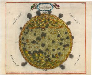
A superb 17th century map of the Sun
KIRCHER, Athanasius. Date: 1665Stock #: 26276 £2,000.00 -

A celestial chart of the paths of Venus & Mercury
CELLARIUS, Andreas. Date: 1660Stock #: 22139 £800.00 -

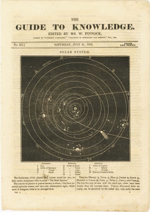
A chart of the Solar System
PINNOCK, William Date: 1832Stock #: 26261 £120.00 -

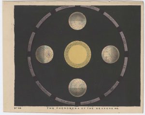
Chart of the Seasons
BLUNT, Charles F. Date: 1845Stock #: 24313 £275.00


Items by the same author
Add to Wishlist
Add to Wishlist