

Map of London published near the end of the Napoleonic Wars
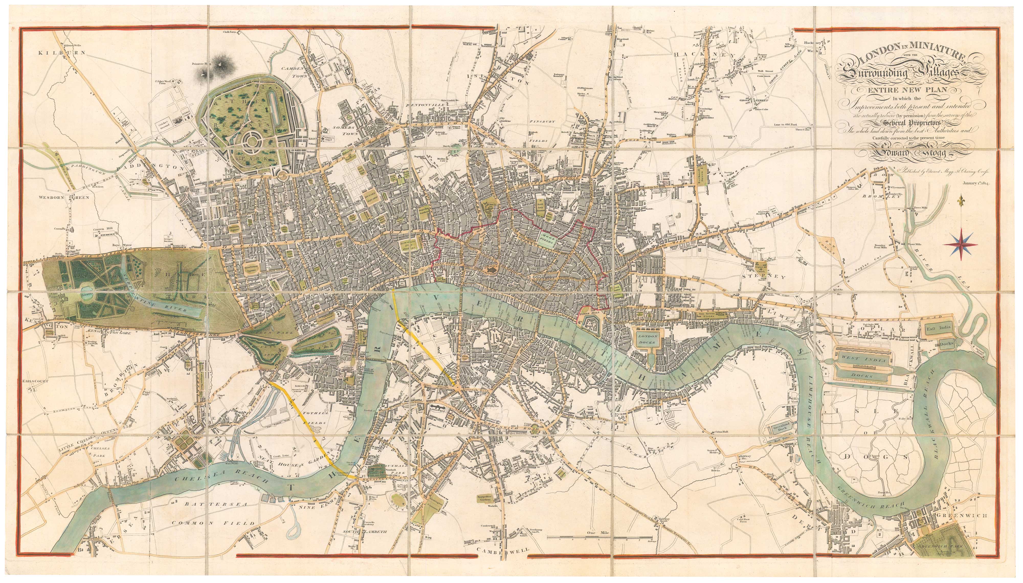
London In Miniature With the Surrounding Villages. An Entire New Plan In which the Improvements both present and intended are actually reduced (by permission) from the serveys of the Several Proprietors...
London, 1814. Original Colour. Dissected and laid on linen as issued, 515 x 940mm.
£1,400.00
1 in stock
x
Question About This Item?
Map of London published near the end of the Napoleonic Wars & MOGG, Edward.Stock #: 26349"*" indicates required fields
Similar to Sell?
Add to Wishlist
Add to Wishlist
Description
A plan of Georgian London, extending from Kilburn in the north west clockwise to Islington, Hackney, the River Lea and the East India Docks, Greenwich, Camberwell, Battersea, Eartl's Court and Kensington. King's Road is still 'The King's Private Road'; Notting Hill Gate is the 'Kensington Gravel Pits'; the Vauxhall Bridge and Road are shown as planned, as is Waterloo Bridge. Regent's Park is laid out according to one of the earlier designs. A good example without offsetting as is normally found.
Condition:
A good example.References:
HOWGEGO No. 237, state 8.Related products
-

A French edition of Rocque’s map of London
TARDIEU, Pierre François. Date: 1765Stock #: 22729 £800.00 -

A map of Elizabethan London with vignettes
DARTON, William. Date: 1826Stock #: 25802 £1,800.00 -

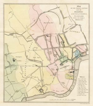
A map of the sewers of London in the early 19th century
BACON, J. Date: 1815Stock #: 26709 £160.00 -

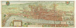
The so-called ‘Agas’ plan of Elizabethan London on eight sheets
AGAS, Ralph. Date: 1737Stock #: 25408 £13,500.00 -

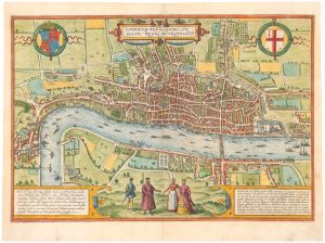
The earliest available printed map of London
BRAUN, Georg & HOGENBERG, Frans. Date: 1574Stock #: 26543 £7,500.00 -

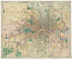
A fine 19th century wall map of London
WYLD, James. Date: 1872Stock #: 26590 £4,800.00 -

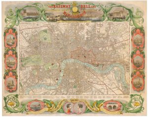
A rare Victorian pictorial map of London.
BIGGS, George. Date: 1845Stock #: 25701 £2,750.00 -

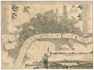
A rare broadsheet map of the Great Fire of London of 1666
DE WIT, Frederick. Date: 1666Stock #: 24892 £7,500.00 -

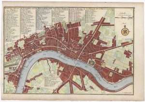
London at the beginning of the 18th century
FER, Nicolas de. Date: 1700Stock #: 25641 £550.00
Items by the same author
Add to Wishlist
Add to Wishlist
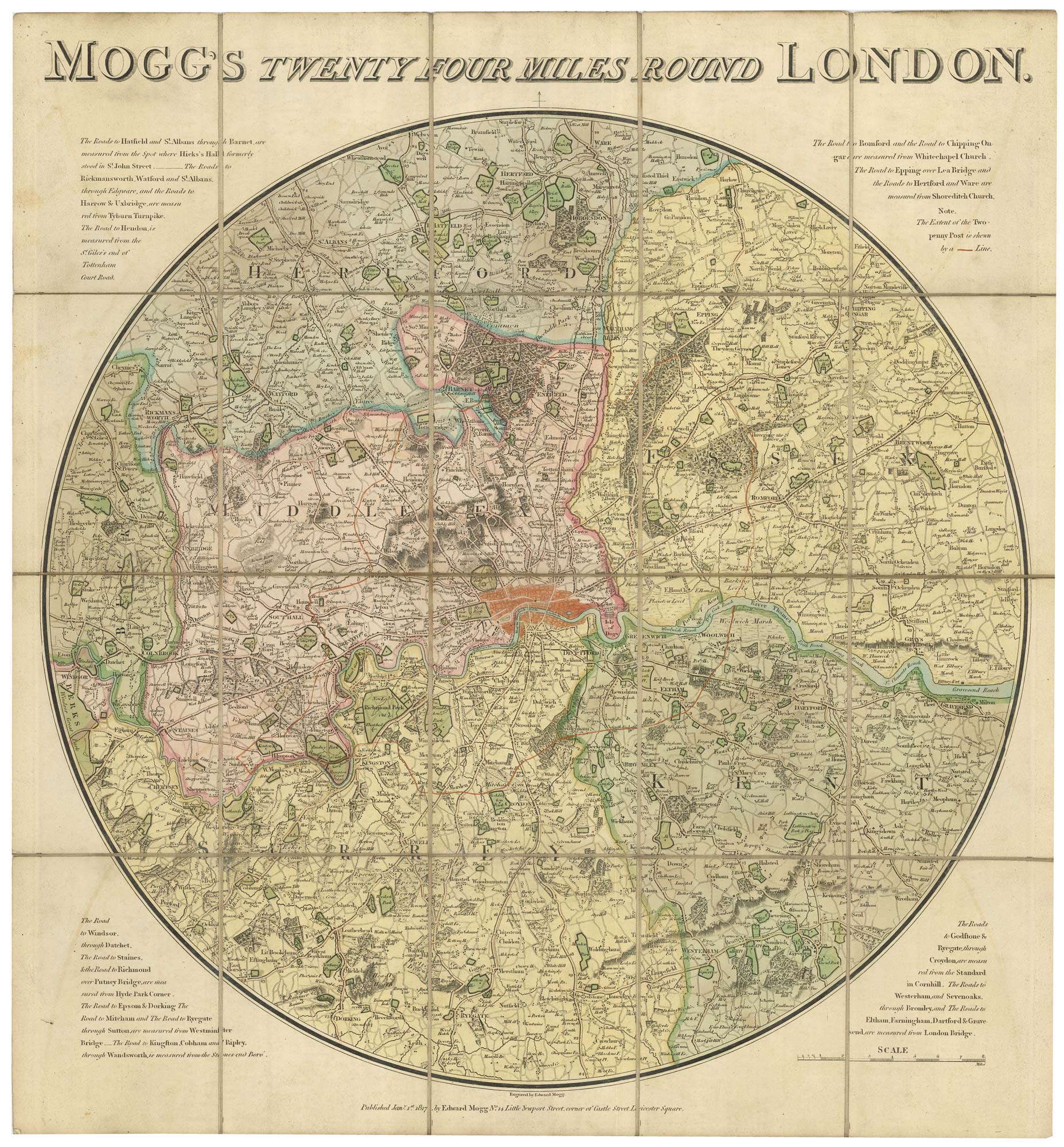
Folding map of the environs of London in fine colour
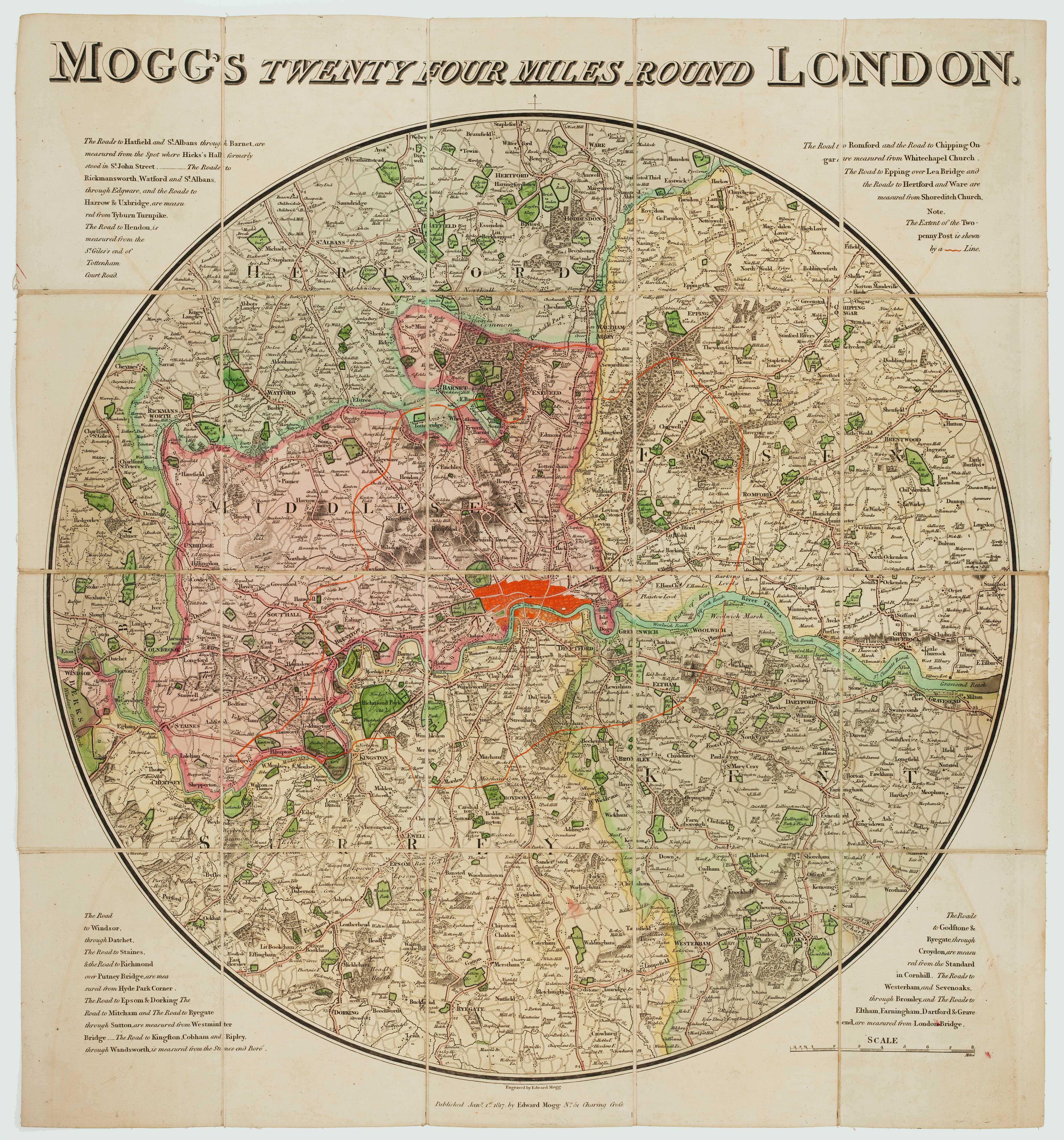
MOGG, Edward. Date: 1817 Stock #: 21770 £650.00
Add to Wishlist
Add to Wishlist
Add to Wishlist
Add to Wishlist