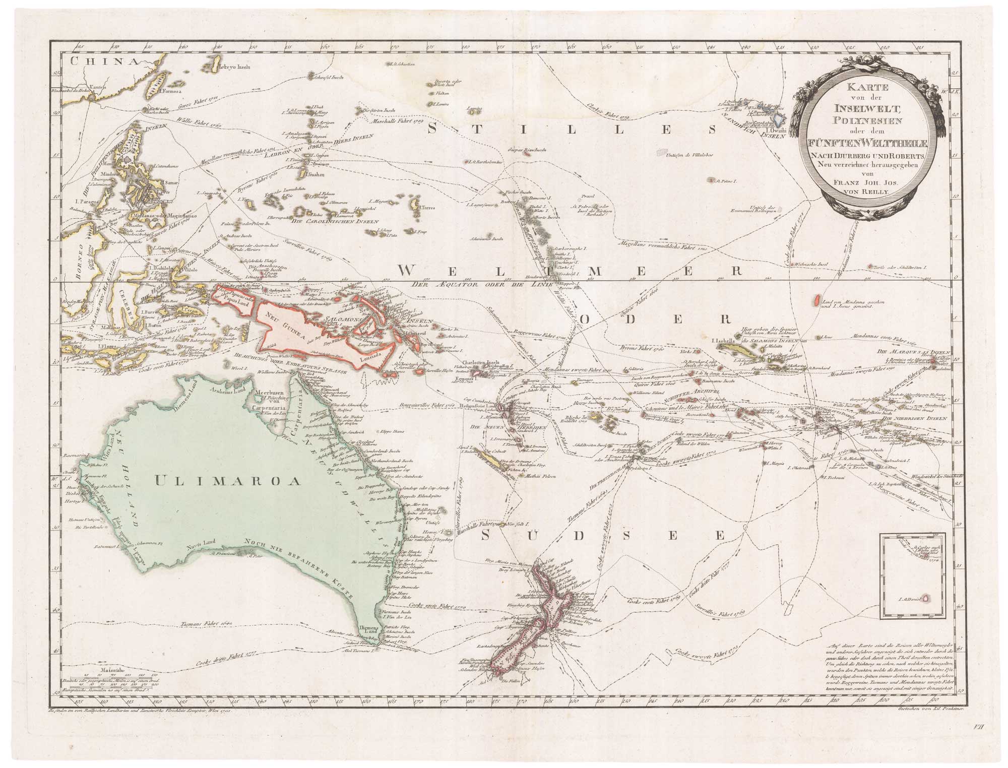


18th century map of Australasia, using the name ‘Ulimaroa’
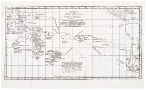
Karte von der der Inselwelt Polynesien oder dem Funften Welttheile, nach Djurberg und Roberts.
Vienna, 1795. Original colour. 500 x 660mm, with wide margins.
x
Question About This Item?
18th century map of Australasia, using the name ‘Ulimaroa’ & REILLY, Franz Johann Joseph von.Stock #: 26540"*" indicates required fields
Similar to Sell?
Add to Wishlist
Add to Wishlist
Description
A map of Australasia, extending from Taiwan to Hawaii, Australia and New Zealand, based on the maps of Daniel Djurberg and Henry Roberts (of CAptain Cook's crew). The map uses Djurberg's name for Australia, 'Ulimaroa'.
Djurberg, a Swedish cartographer, campaigned for the use of indigenous names rather than those imposed by Europeans. For Australia he chose a name recorded by Cook's expedition, the Maori word 'Rimaroa', corrupted by the expedition's Tahitian translator, Tupa'ia, into 'Orimaroa', and corrupted again by Hawkesworth into 'Ulimaroa'.
Condition:
A good example.Related products
-
![[Matavi Bay, Tahiti] Vue du Détroit Charlotte dans la Nouvelle by CLEVELEY, James & John., 1790.](data:image/svg+xml,%3Csvg%20xmlns='http://www.w3.org/2000/svg'%20viewBox='0%200%20300%20229'%3E%3C/svg%3E)
A French edition of Cleveley’s famous view of Matavi Bay, Tahiti
CLEVELEY, James & John. Date: 1790Stock #: 20326 £4,500.00 -

An French sea chart of the Pacific after Dumont D’Urville
Dépôt des Cartes et Plans de la Marine. Date: 1834Stock #: 18866 £450.00 -

A scarce map of the Pacific
BURNEY, James. Date: 1803Stock #: 20985 £650.00 -

A detailed 19th century chart of the south west Pacific
VINCENDON-DUMOULIN, Clement Adrien. Date: 1874Stock #: 22088 £1,600.00 -

Map of Australia and New Zealand after Cook’s First Voyage to the Pacific
ZATTA, Antonio. Date: 1776Stock #: 24599 £1,000.00 -

Chart from the return voyage of a ‘First Fleet’ ship
SHORTLAND, Thomas George. Date: 1789Stock #: 21908 £120.00 -

Cook’s chart of the South Pacific from his First Voyage
COOK, James. Date: 1773Stock #: 20839 £1,400.00 -

A German edition of Cook’s chart of the South Pacific
COOK, James. Date: 1775Stock #: 20470 £450.00 -

A superbly detailed four-sheet chart of the Pacific
BRUÉ, Adrien Hubert. Date: 1817Stock #: 26521 £1,650.00
![[Matavi Bay, Tahiti] Vue du Détroit Charlotte dans la Nouvelle by CLEVELEY, James & John., 1790.](https://altea-gallery-cdn.s3.eu-west-2.amazonaws.com/wp-content/uploads/2025/05/10123734/alteashop_20326-300x229.jpg)
Items by the same author
Add to Wishlist
Add to Wishlist