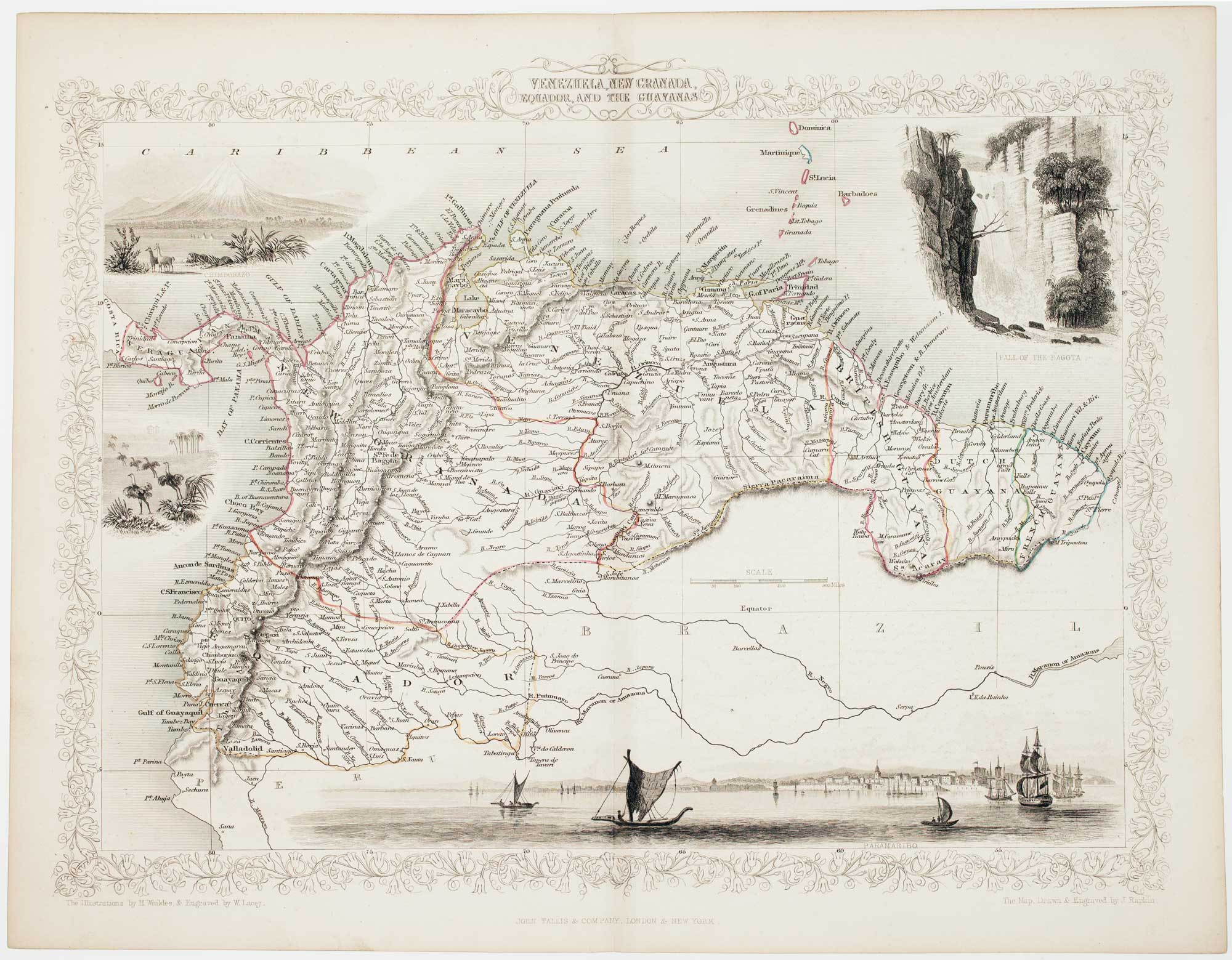


A Victorian map of Colombia, Venezuela, Ecuador and the Guayanas
Venezuela, New Granada, Ecuador, and the Guayanas.
London, John Tallis & Co., c.1851. Original outline colour. Steel engraving, printed area 260 x 330mm.
x
Question About This Item?
A Victorian map of Colombia, Venezuela, Ecuador and the Guayanas & TALLIS, John.Stock #: 16147"*" indicates required fields
Similar to Sell?
Add to Wishlist
Add to Wishlist
Description
A mid-19the century map of the northern countries of South America, with four decorative vignettes showing a prospect of Paramaribo, the Tequendama Falls on the Bogota River, and the volcano Chimborazo.
The map was drawn and engraved by John Rapkin for the 'The Illustrated Atlas, and Modern History of the World, Geographical Political, Commercial & Statistical', edited by Montgomery Martin, which was one of the last decorative atlases to be published.
Condition:
A good example.Related products
-

A Victorian map of Colombia, Venezuela, Ecuador and the Guayanas
TALLIS, John. Date: 1851Stock #: 21589 £140.00 -

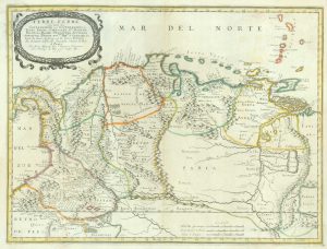
A mid-17th century French map of Colombia and Venezuela
SANSON, Nicolas. Date: 1656Stock #: 19056 £600.00 -

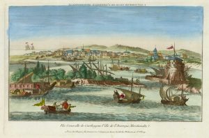
18th century vue d’optique of Cartagena
CHEREAU, Jacques. Date: 1780Stock #: 18981 £280.00 -

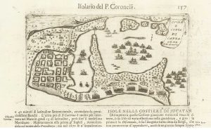
Drake’s attack on Cartagena in 1586
CORONELLI, Vincenzo Maria. Date: 1696Stock #: 21646 £160.00 -

The extremely rare first state of the map of Colombia by Jodocus Hondius II
Date: 1629Stock #: 26682 £1,500.00 -

French chart of Cartagena and surrounds
FER, Nicolas de. Date: 1705Stock #: 18422 £220.00 -

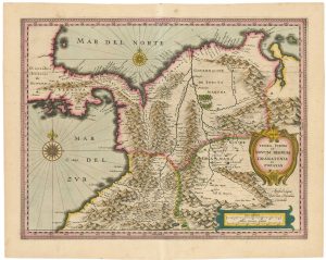
17th century map of Colombia
JANSSON, Jan. Date: 1631Stock #: 25302 £550.00
Items by the same author
Add to Wishlist
Add to Wishlist

A mid-19th century map of France with vignette scenes
TALLIS, John. Date: 1851 Stock #: 21630 £110.00
Add to Wishlist
Add to Wishlist
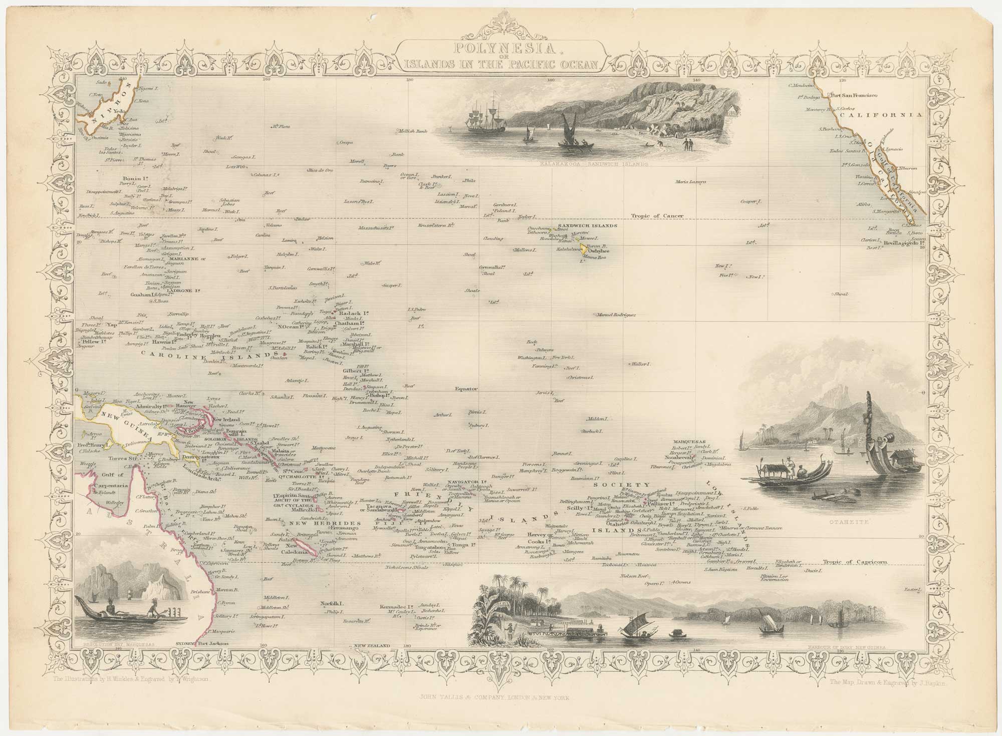
A mid-19th century map of Polynesia with decorative vignettes
TALLIS, John. Date: 1851 Stock #: 26651 £125.00
Add to Wishlist
Add to Wishlist
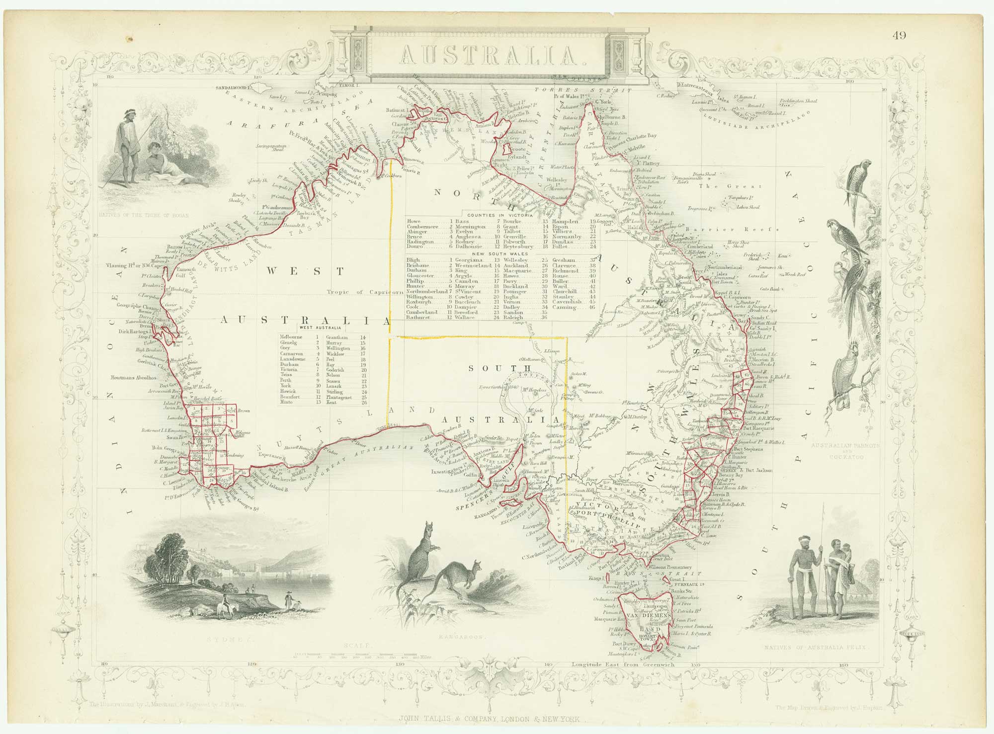
Mid 19th century map of Australia with decorative vignettes
TALLIS, John. Date: 1851 Stock #: 26649 £325.00
Add to Wishlist
Add to Wishlist
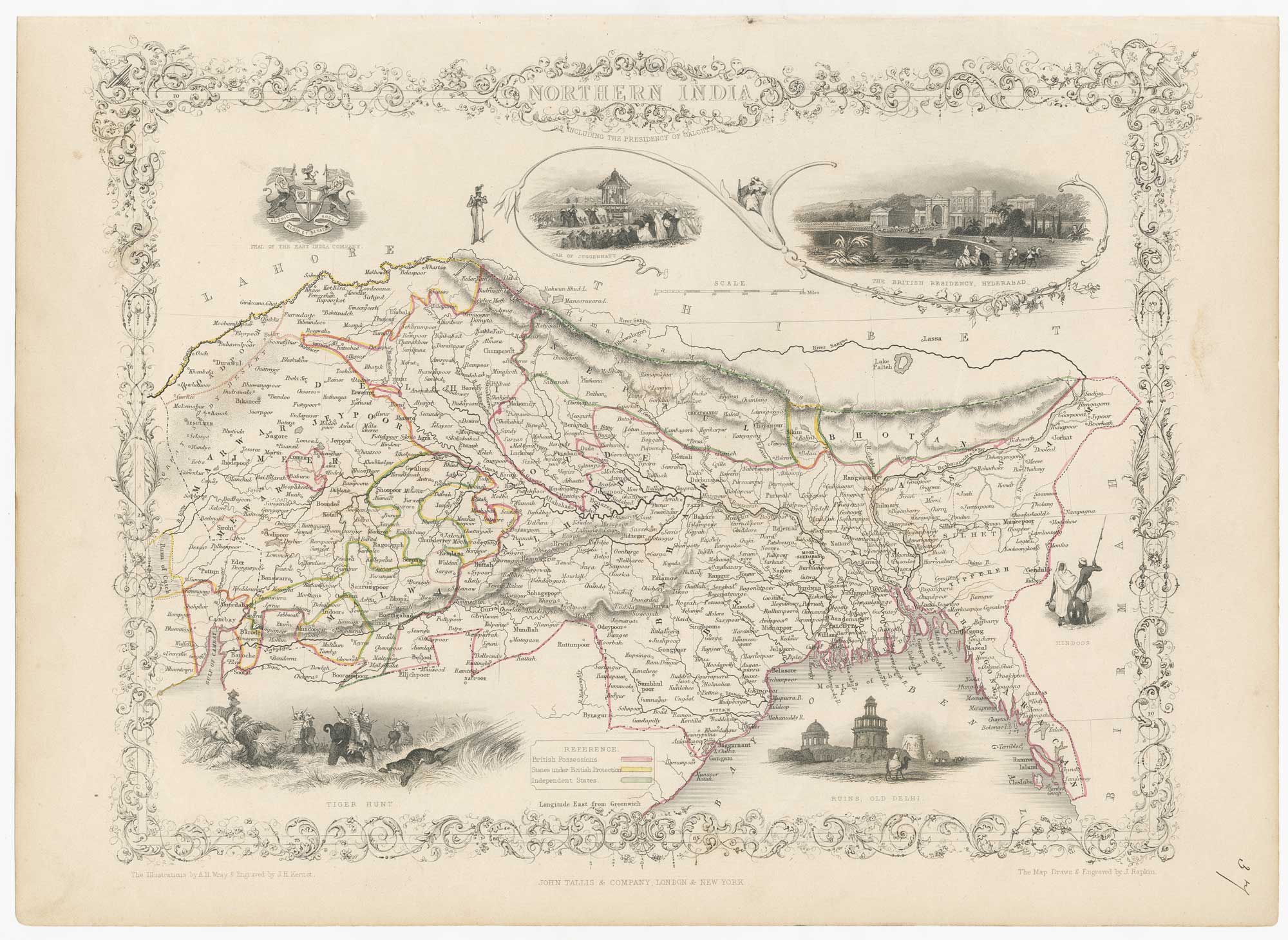
Mid-19th century map of Northern India with decorative vignettes
TALLIS, John. Date: 1851 Stock #: 21794 £190.00
Add to Wishlist
Add to Wishlist

A chart comparing the geographic features of the Western Hemisphere
TALLIS, John. Date: 1851 Stock #: 26617 £120.00
Add to Wishlist
Add to Wishlist