

17th century map of Tartary
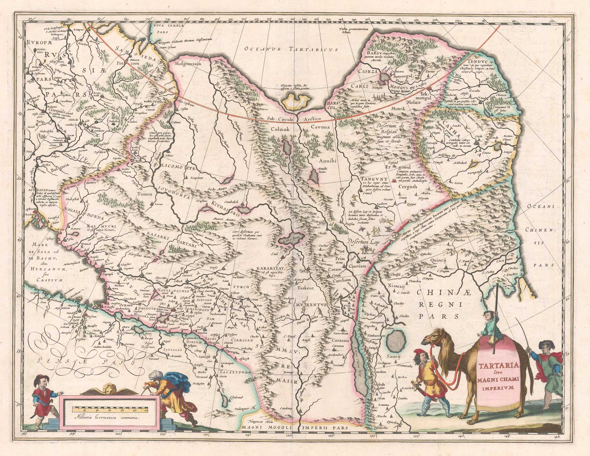
Tartaria sive Magni Chami Imperium.
Amsterdam, 1644, Latin text edition. Original colour. 385 x 500mm.
£500.00
1 in stock
x
Question About This Item?
17th century map of Tartary & BLAEU, Willem Janszoon.Stock #: 26419"*" indicates required fields
Similar to Sell?
Add to Wishlist
Add to Wishlist
Description
A map of northern Asia, from Archangel, the Caspian Sea and Astrakhan in the west to the Great Wall of China and the Bering Sea, although Kamchatka has yet to appear. Samarkand Tashkent, the great cities of the Silk Road are marked but inaccurately placed, emphasising how little was known about the interior of Asia. Bottom right, just above the title cartouche featuring a camel caravan, is the northern tip of the 'island' of Korea.
Condition:
A good example.References:
KOEMAN: Bl 57.Related products
-

An 18th century two-sheet map of Chinese Tartary
HOMANN HEIRS. Date: 1749Stock #: 15822 £770.00 -

China & Tartary after Bonne
SANTINI, Francesco & Paolo. Date: 1784Stock #: 22630 £600.00 -

A 16th century miniature map of Tartary
ORTELIUS, Abraham. Date: 1593Stock #: 24468 £240.00 -

An extremely rare miniature map of Tartary
FRESCHOT, Casimir Don. Date: 1680Stock #: 11116 £380.00 -

A rare issue of this famous English carte à figures map of Tartary
SPEED, John. Date: 1665Stock #: 23985 £1,600.00 -

A 16th century Dutch map of Tartary
ORTELIUS, Abraham. Date: 1573Stock #: 26568 £1,150.00 -

The Bertius map of Tartary
HONDIUS, Jodocus II. Date: 1616Stock #: 15209 £150.00 -

18th century English map of Tartary
MOLL, Herman. Date: 1732Stock #: 25671 £200.00 -

A 17th century map of Tartary from a pocket atlas
JANSSON, Jan. Date: 1628Stock #: 25564 £240.00
Items by the same author
Add to Wishlist
Add to Wishlist
Add to Wishlist
Add to Wishlist

Add to Wishlist
Add to Wishlist
Add to Wishlist
Add to Wishlist
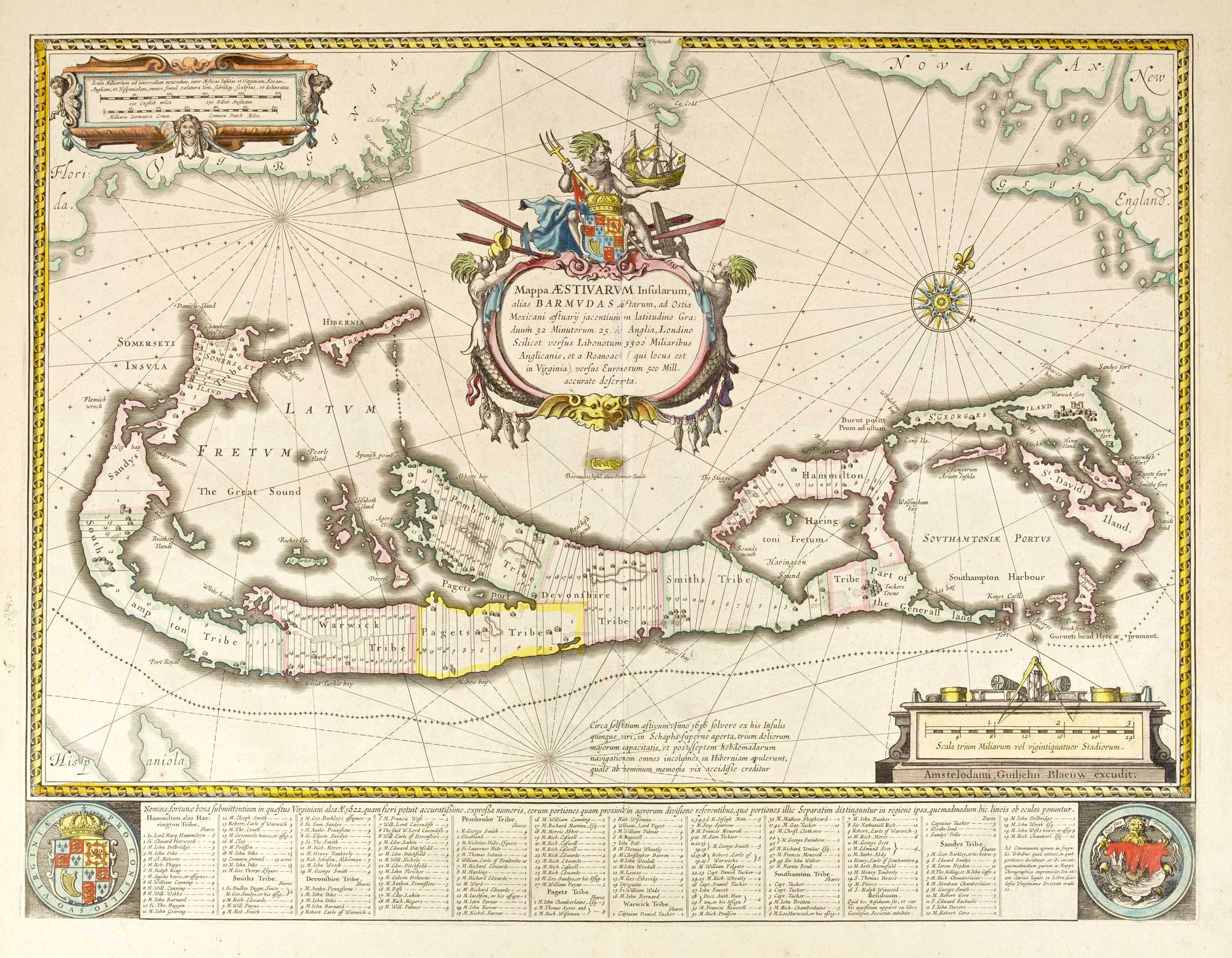
A classic collector's map of Bermuda in original colour
BLAEU, Willem Janszoon. Date: 1640 Stock #: 26235 £2,000.00
Add to Wishlist
Add to Wishlist
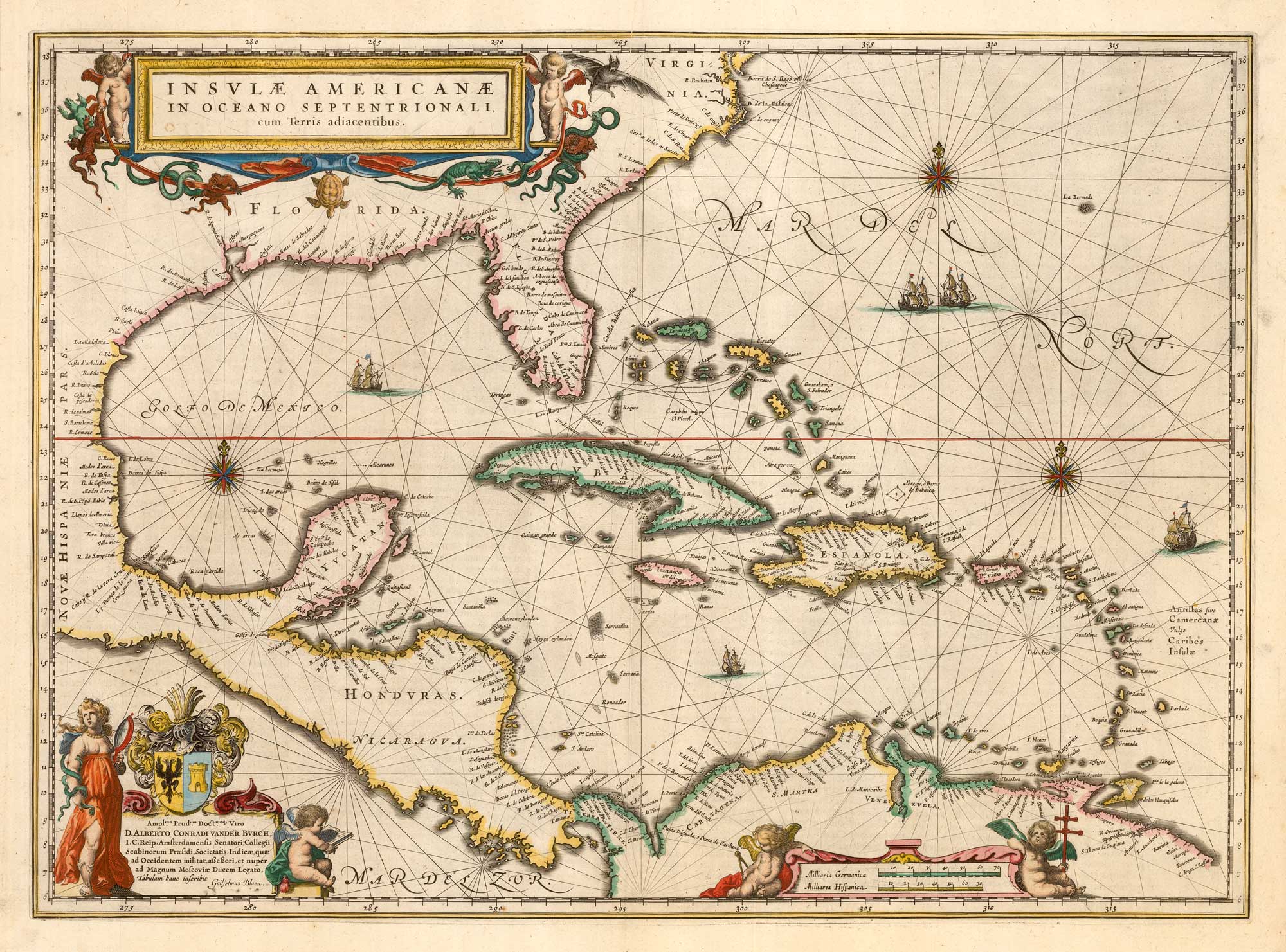
Classic 17th century map of the West Indies
BLAEU, Willem Janszoon. Date: 1645 Stock #: 25946 £1,850.00
Add to Wishlist
Add to Wishlist