

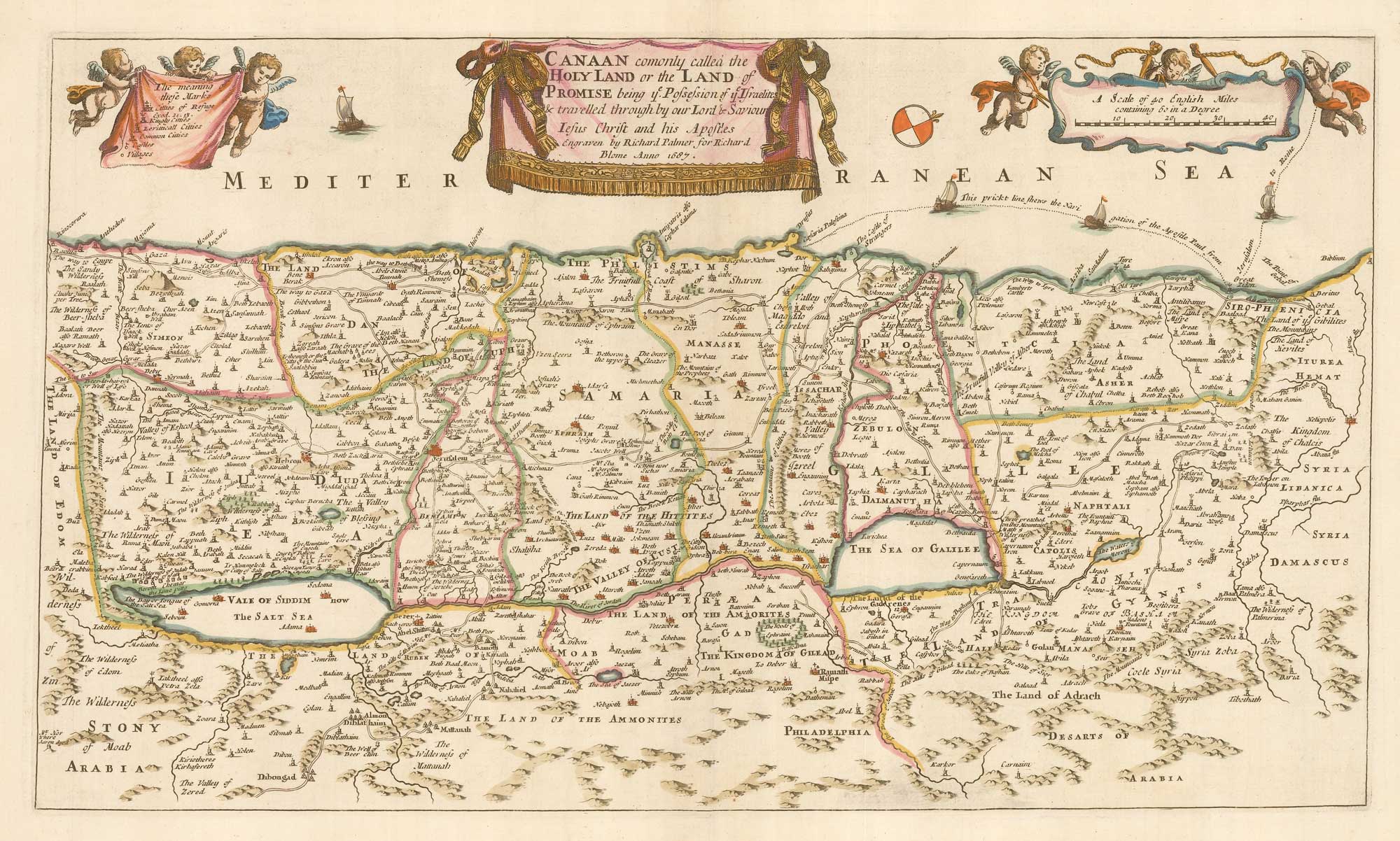
A 17th century English map of the Holy Land
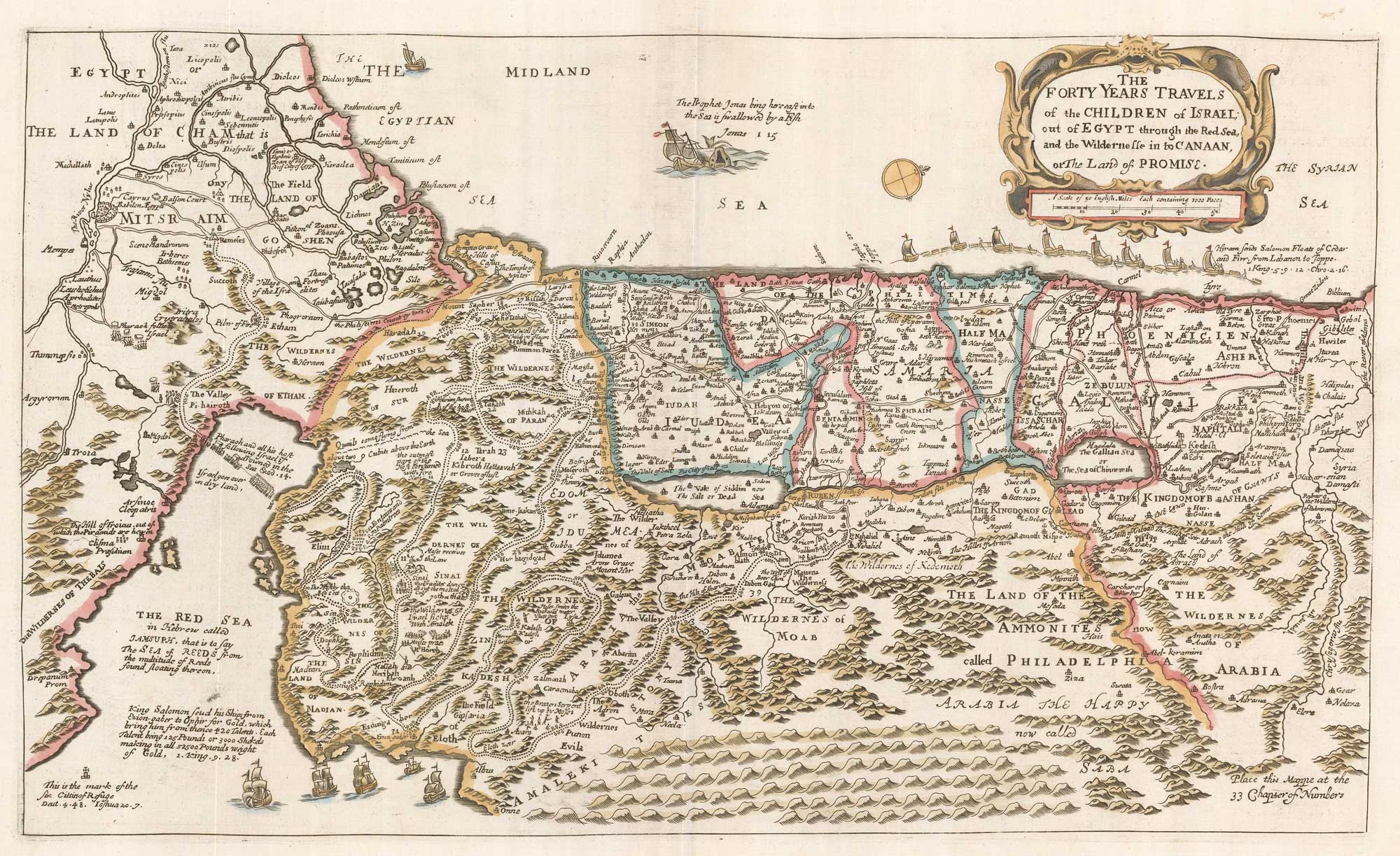
The Forty Years Travels of the Children of Israel; out of Egypt through the Red Sea, and the Wildernesse in to Canaan, or the Land of Promise.
London: Richard Blome, c.1687. Coloured. 270 x 450mm.
x
Question About This Item?
A 17th century English map of the Holy Land & BLOME, Richard.Stock #: 26487"*" indicates required fields
Similar to Sell?
Add to Wishlist
Add to Wishlist
Description
A map of the Holy Land, orientated with north to the right, marking the route of the Exodus.Based on the map by Nicolas Visscher, it was published in an English Bible.
Condition:
A good example.References:
LAOR 111.Related products
-

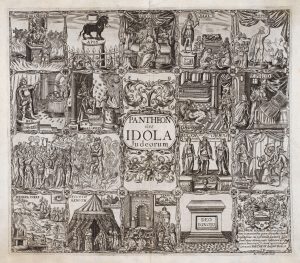
17th century Illustrations of gods recorded in the Old Testament
VAUGHAN, Robert. Date: 1650Stock #: 20704 £345.00 -

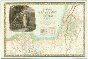
The Holy Land and Egypt in fine colour
SEATON, Robert. Date: 1829Stock #: 24596 £2,400.00 -

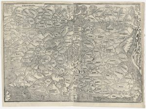
The woodcut map of the Holy Land from the ‘Mer de Hystoires’
BRANDIS, Lucas. Date: 1543Stock #: 26238 £4,000.00 -

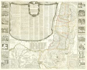
A rare wall map of the Holy Land
NOLIN, Jean Baptiste. Date: 1785Stock #: 24500 £6,000.00 -

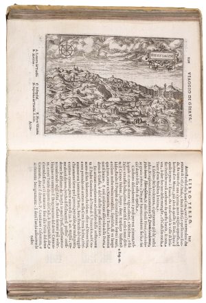
A 16th century pilgrimage to Jerusalem
ZUALLART, Jean. Date: 1595Stock #: 23825 £3,200.00 -

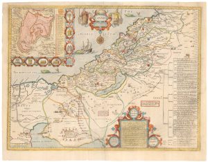
Speed’s map of the Holy Land
SPEED, John. Date: 1676Stock #: 25766 £1,400.00 -
![[The description of the holy Land...] by POSTEL, Guillaume., 1599.](data:image/svg+xml,%3Csvg%20xmlns='http://www.w3.org/2000/svg'%20viewBox='0%200%20300%20410'%3E%3C/svg%3E)
A 16th century map of the Holy Land from a ‘Geneva Bible’
POSTEL, Guillaume. Date: 1599Stock #: 24852 £220.00 -

Map of the Holy Land and Cyprus for a history of the Crusades
DELISLE, Guillaume. Date: 1780Stock #: 20578 £750.00 -

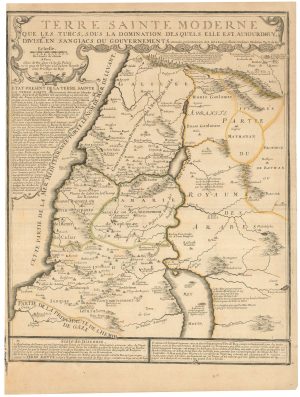
A scarce map of the Holy Land in the 18th century
FER, Nicolas de. Date: 1707Stock #: 24525 £250.00
![[The description of the holy Land...] by POSTEL, Guillaume., 1599.](https://altea-gallery-cdn.s3.eu-west-2.amazonaws.com/wp-content/uploads/2025/05/17130516/alteashop_24852-300x410.jpg)
Items by the same author
Add to Wishlist
Add to Wishlist
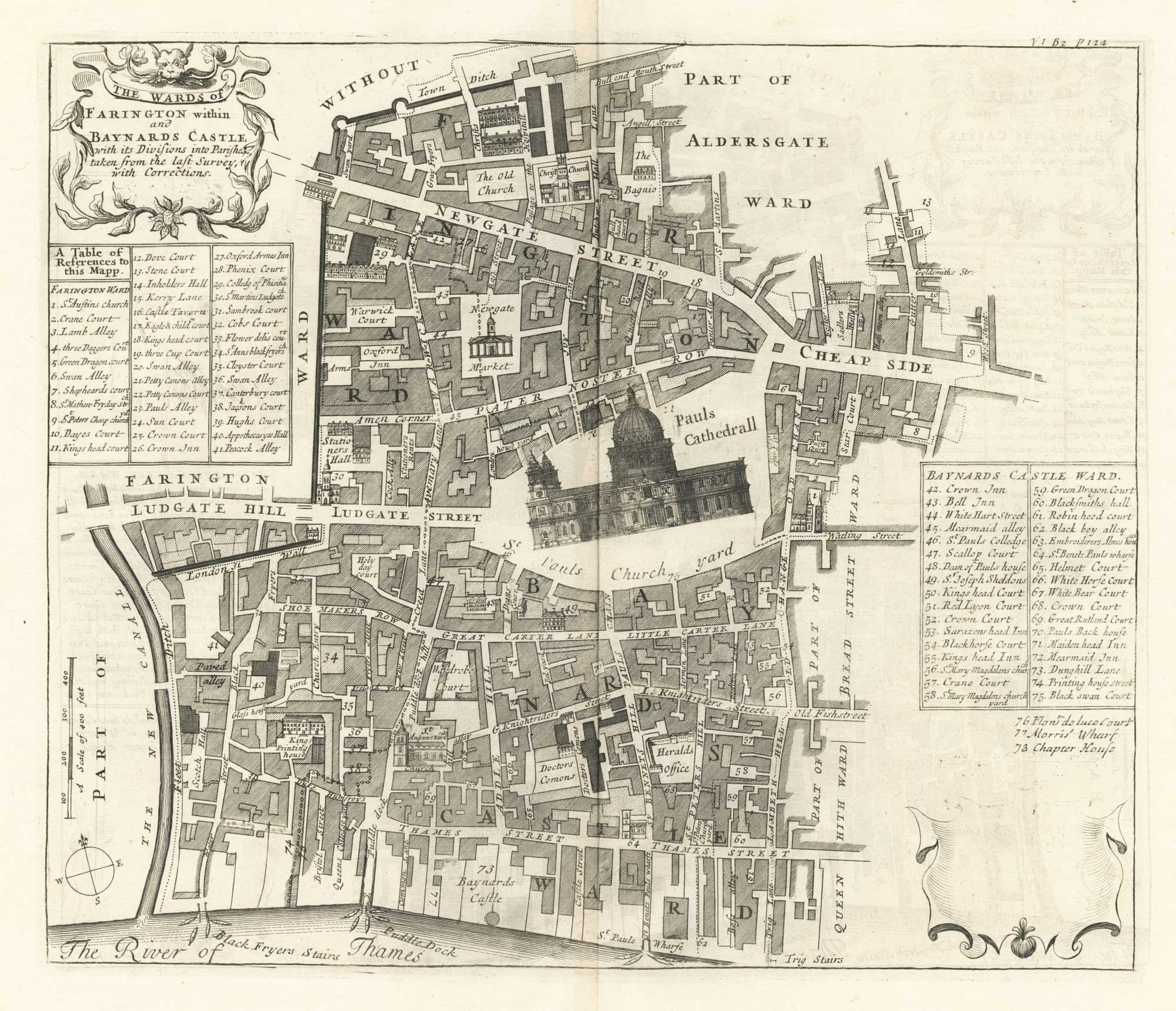
A plan of Farringdon and Baynards Castle at the end of the 17th century
BLOME, Richard. Date: 1720 Stock #: 25604 £375.00
Add to Wishlist
Add to Wishlist
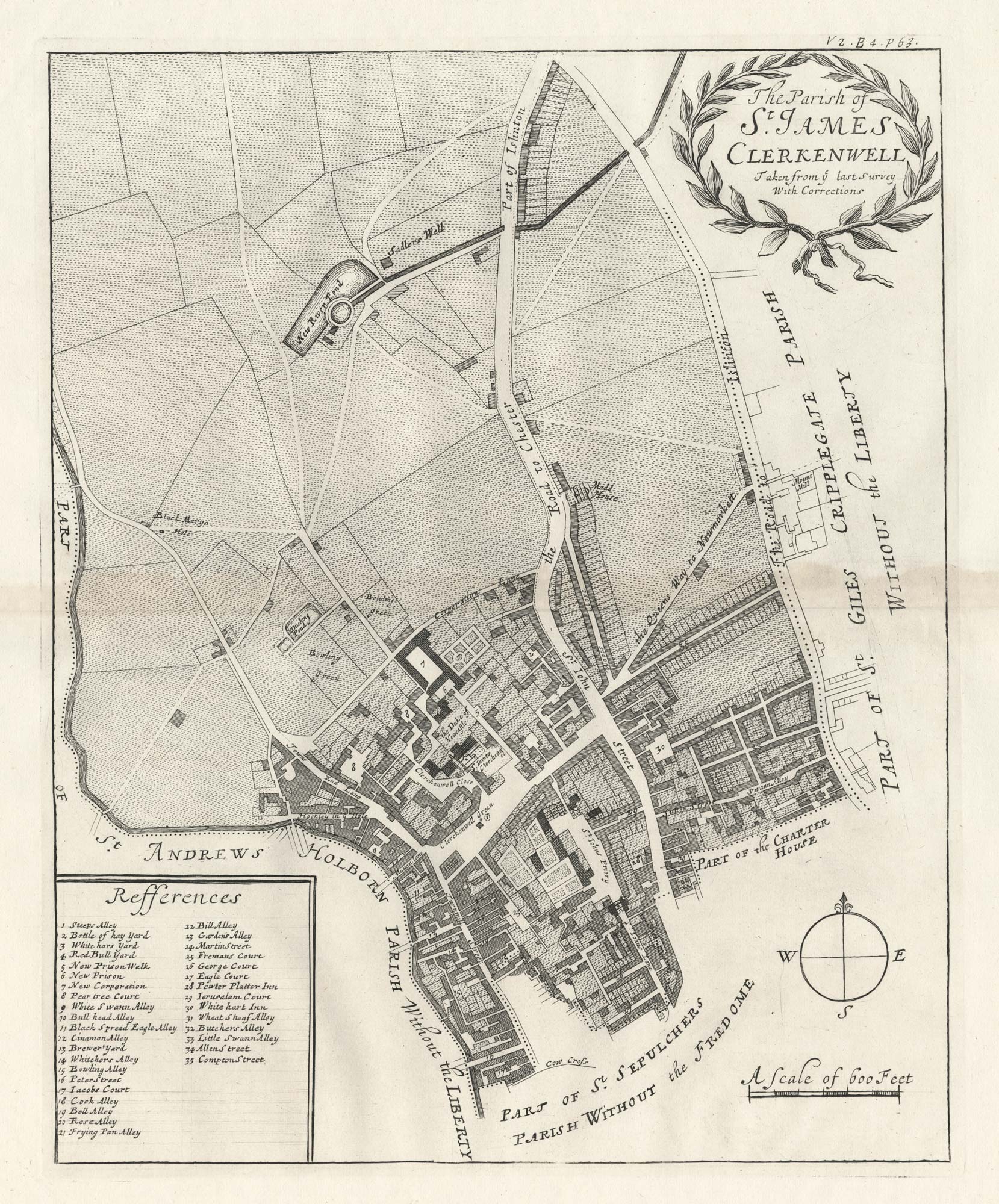
A plan of St James, Clerkenwell at the end of the 17th century
BLOME, Richard. Date: 1720 Stock #: 25563 £350.00
Add to Wishlist
Add to Wishlist
Add to Wishlist
Add to Wishlist
Add to Wishlist
Add to Wishlist
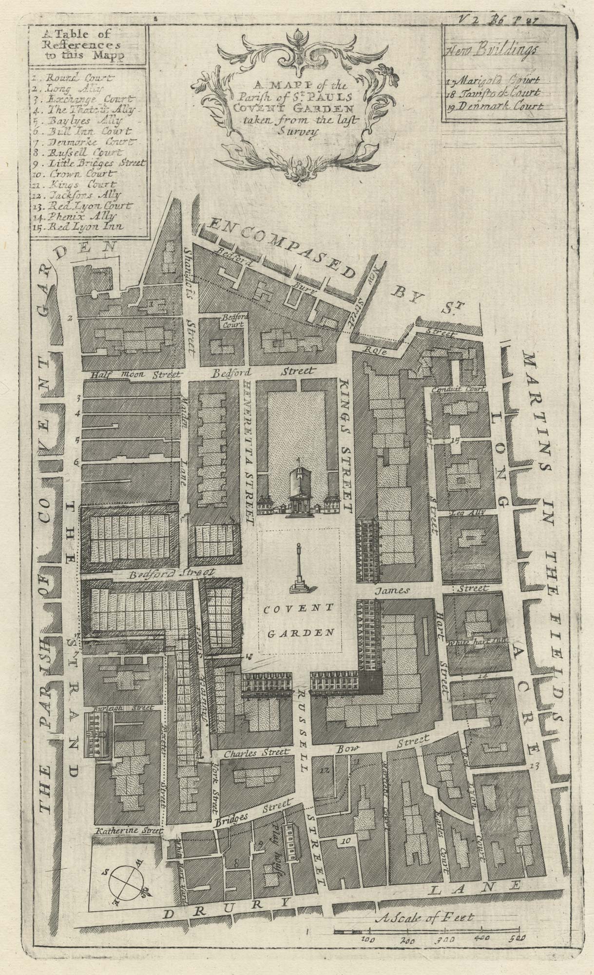
A plan of Covent Garden at the end of the 17th century
BLOME, Richard. Date: 1720 Stock #: 25170 £200.00
Add to Wishlist
Add to Wishlist