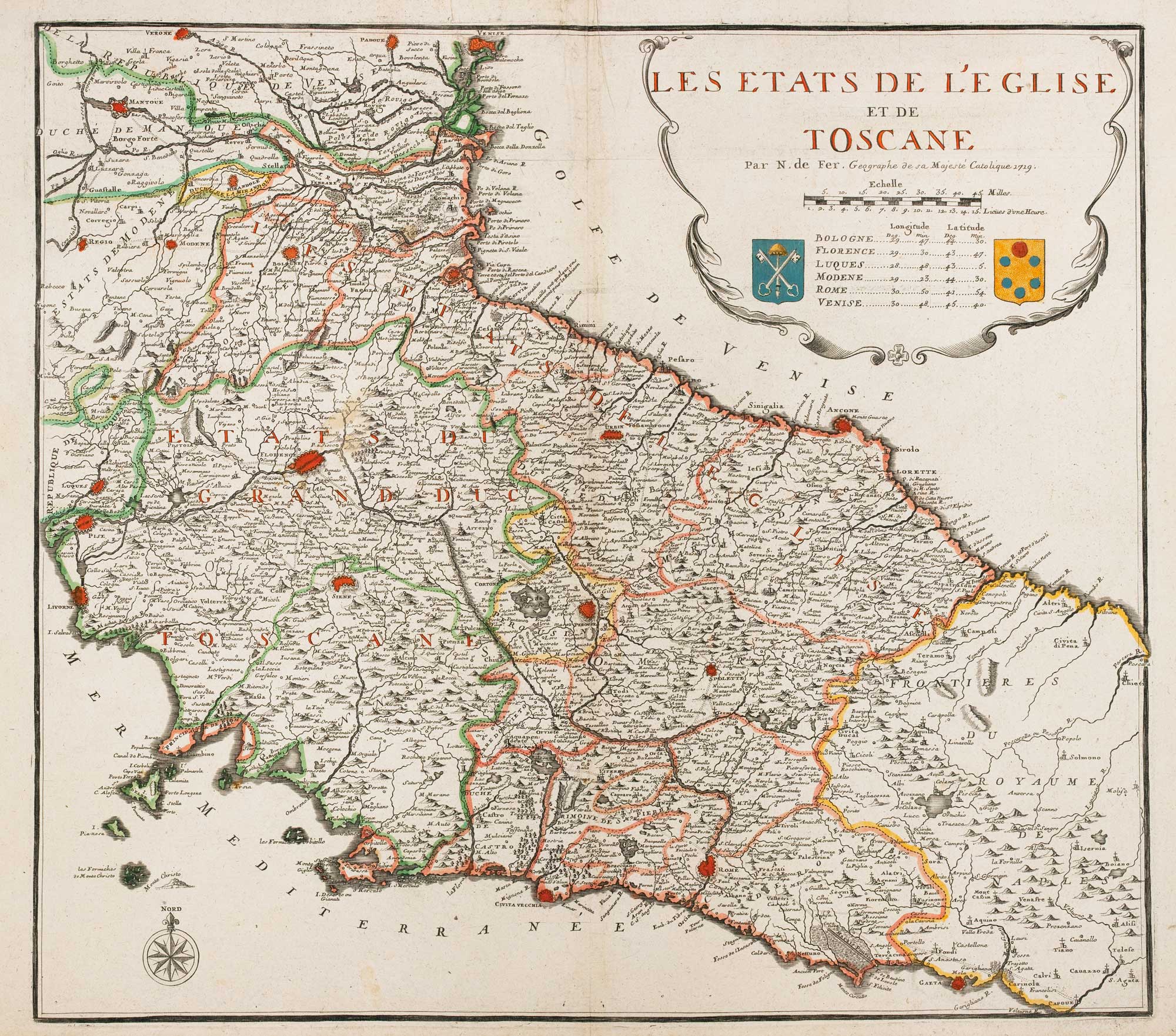


De Fer’s larger-format map of Tuscany
Les Etats de L'Eglise, et de Toscane.
Paris, 1719. Original outline colour. 520 x 580mm.
£750.00
1 in stock
x
Question About This Item?
De Fer’s larger-format map of Tuscany & FER, Nicolas de.Stock #: 15762"*" indicates required fields
Similar to Sell?
Add to Wishlist
Add to Wishlist
Description
Rare map of Tuscany and the island of Elba.
Condition:
A good example.Related products
-

An uncommon Spanish edition of Jansson’s map of Elba
JANSSON, Jan. Date: 1653Stock #: 17265 £280.00 -

18th century map of Tuscany and the Papal States
SEUTTER, Matthaus. Date: 1730Stock #: 17594 £680.00 -

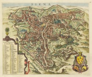
A scarce plan of Siena etched by Wenceslaus Hollar
HOLLAR, Wenceslaus. Date: 1694Stock #: 21912 £2,800.00 -

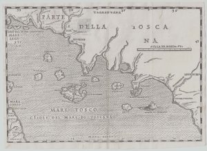
16th century woodcut map of the Tuscan Archipelago
ALBERTI, Leandro. Date: 1588Stock #: 21496 £450.00 -

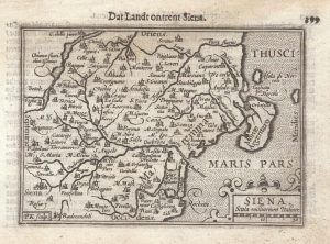
A 16th century miniature map of the Province of Siena
LANGENES, Barent. Date: 1599Stock #: 21345 £160.00 -

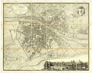
A 19th century plan of Florence with a prospect of the city
MERLINI, Cesare. Date: 1818Stock #: 23851 £950.00 -

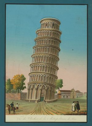
The famous Leaning Tower of Pisa
Anonymous. Date: 1820Stock #: 16023 £250.00 -

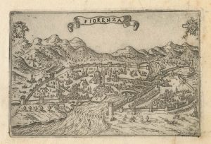
A 16th century town plan of Florence
VALEGIO, Francesco. Date: 1598Stock #: 24193 £300.00
Items by the same author
Add to Wishlist
Add to Wishlist
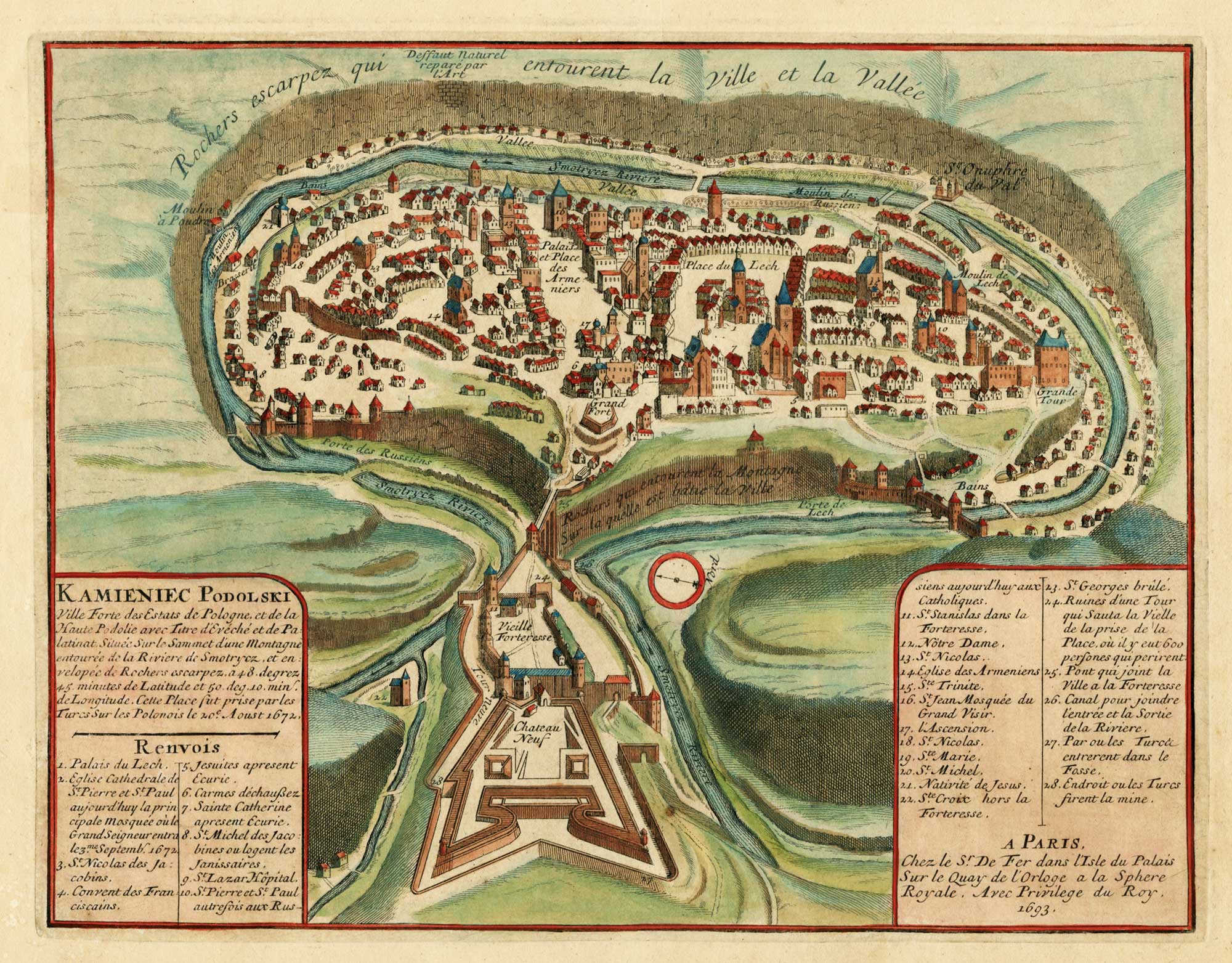
A late 17th century bird’s-eye view of Kamianets-Podilsky
FER, Nicolas de. Date: 1693 Stock #: 26037 £240.00
Add to Wishlist
Add to Wishlist
Add to Wishlist
Add to Wishlist
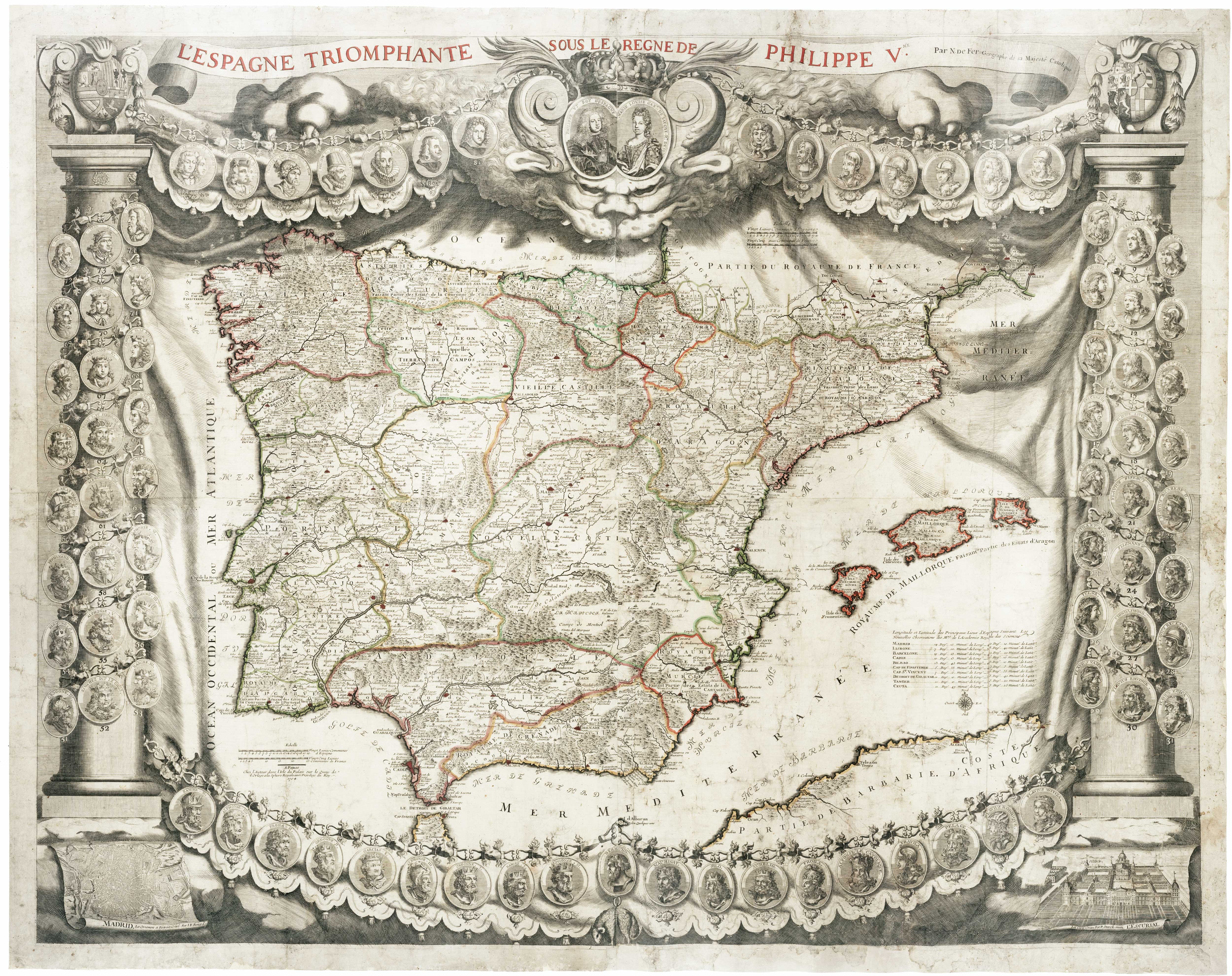
A monumental wall map of Spain early in the War of the Spanish Succession
FER, Nicolas de. Date: 1704 Stock #: 24125 £12,000.00
Add to Wishlist
Add to Wishlist
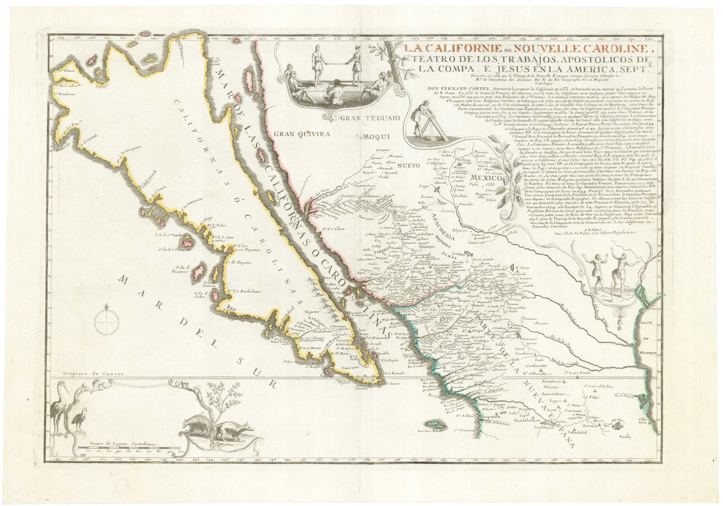
De Fer's large-format map of the island of California
FER, Nicolas de. Date: 1720 Stock #: 25088 £6,000.00
Add to Wishlist
Add to Wishlist

A decorative early 18th century chart of the Mediterranean
FER, Nicolas de. Date: 1709 Stock #: 25252 £2,750.00
Add to Wishlist
Add to Wishlist