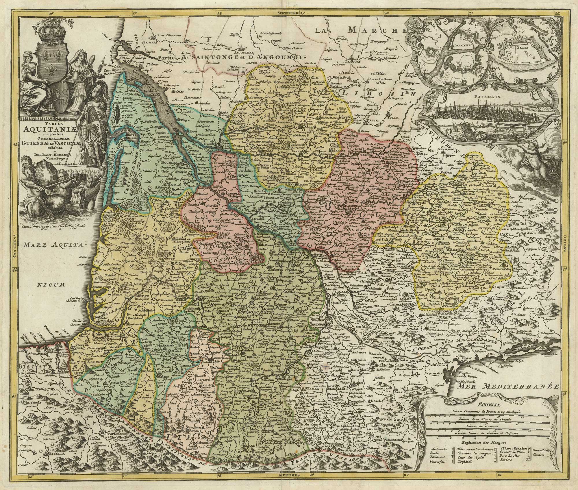


A map of Aquitaine in fine colour
Tabula Aquitaniae complectens Gubernationem Guiennae et Vasconiae exhibita.
Nuremberg, c.1720. Original body colour. 495 x 585mm.
£350.00
1 in stock
x
Question About This Item?
A map of Aquitaine in fine colour & HOMANN, Johann Baptist.Stock #: 21233"*" indicates required fields
Similar to Sell?
Add to Wishlist
Add to Wishlist
Description
A decorative map of Aquitaine with a prospect of Bordeaux and plans of Bayonne and Blaye.
Condition:
A good example.Related products
-

A detailed 18th century map of Brittany
HOMANN, Johann Baptist. Date: 1720Stock #: 21195 £420.00 -

Miniature map of Corsica
PERROT, Aristide Michel. Date: 1824Stock #: 24457 £180.00 -

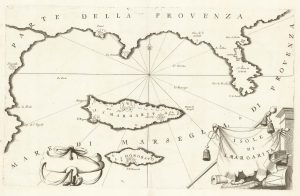
A map of Saint Marguerite with Cannes and Antibes
CORONELLI, Vincenzo Maria. Date: 1690Stock #: 20625 £280.00 -
![The first printed map of Corsica - [Corsica.] by BORDONE, Benedetto., 1534 – Altea Gallery](data:image/svg+xml,%3Csvg%20xmlns='http://www.w3.org/2000/svg'%20viewBox='0%200%20300%20431'%3E%3C/svg%3E)
The first printed map of Corsica
BORDONE, Benedetto. Date: 1534Stock #: 11217 £800.00 -

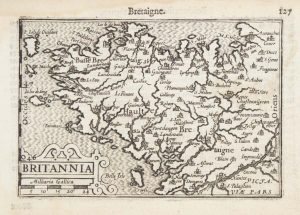
A 16th century miniature map of Brittany
LANGENES, Barent. Date: 1599Stock #: 21143 £70.00 -

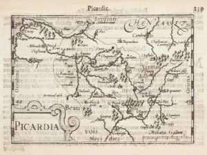
A 16th century miniature map of southern Picardy
LANGENES, Barent. Date: 1599Stock #: 21147 £50.00 -

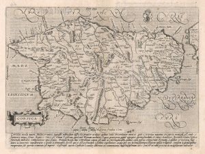
The first issue of Quad’s map of Corsica
QUAD, Matthias. Date: 1600Stock #: 18348 £425.00 -

A 16th century miniature map of the Comtat Venaissin
LANGENES, Barent. Date: 1599Stock #: 21137 £55.00 -

An 18th century playing-card map of Normandy and surrounds
RABATTA, Augusto & BAILOU, Jean Baptist de. Date: 1779Stock #: 12975 £200.00
![The first printed map of Corsica - [Corsica.] by BORDONE, Benedetto., 1534 – Altea Gallery](https://altea-gallery-cdn.s3.eu-west-2.amazonaws.com/wp-content/uploads/2025/04/24153125/alteashop_11217-300x431.jpg)
Items by the same author
Add to Wishlist
Add to Wishlist

Add to Wishlist
Add to Wishlist
Add to Wishlist
Add to Wishlist
Add to Wishlist
Add to Wishlist
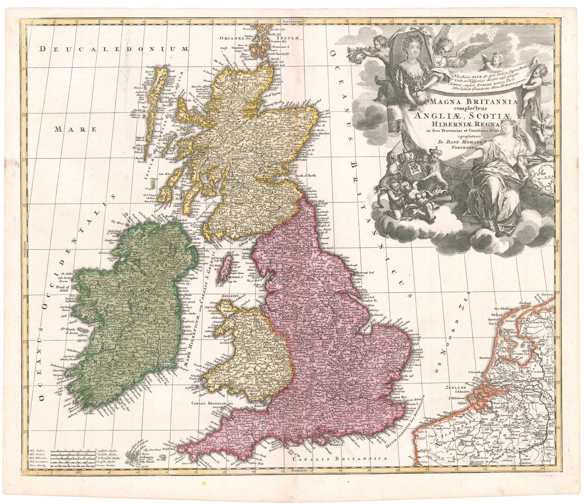
An early 18th century map of the British Isles, with a portrait of Queen Anne
HOMANN, Johann Baptist. Date: 1707 Stock #: 26457 £350.00
Add to Wishlist
Add to Wishlist
Add to Wishlist
Add to Wishlist