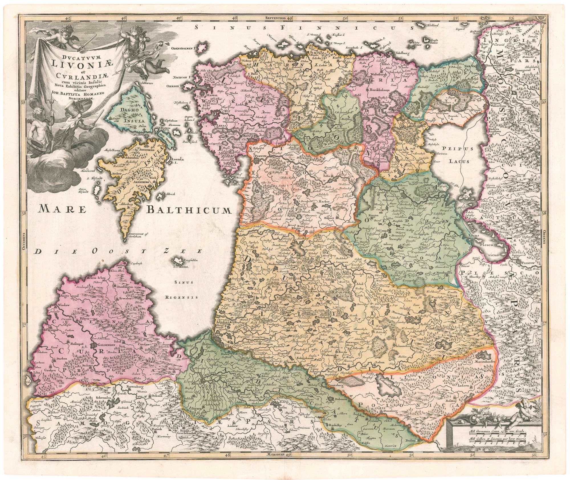


An 18th century map of Estonia & Latvia
Ducatuum Livoniae et Curlandiae cum vicinis Insulis Nova Exhibitio Geographica.
Nuremberg, c.1730. Original colour. 490 x 580mm.
£300.00
1 in stock
x
Question About This Item?
An 18th century map of Estonia & Latvia & HOMANN, Johann Baptist.Stock #: 26529"*" indicates required fields
Similar to Sell?
Add to Wishlist
Add to Wishlist
Description
A map of the northern Baltic region, depicting the historic territories of Livonia and Courland, corresponding largely to present-day Estonia and Latvia. The map shows major cities including Riga, Tartu, and Jelgava, together with rivers, forests, fortifications, and regional boundaries.
Condition:
Minor repairs to centre fold.Related products
-

A sea chart of the Gulf of Finland published the year of Waterloo
Dépôt des Cartes et Plans de la Marine. Date: 1815Stock #: 18865 £1,000.00 -

Map of the Gulf of Finland during the Russo-Swedish War of 1788
AKERLUND, Erik. Date: 1788Stock #: 25677 £475.00 -

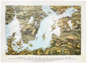
A map-view of the Baltic Sea during the Crimean War
READ & Co. Date: 1855Stock #: 20828 £750.00 -

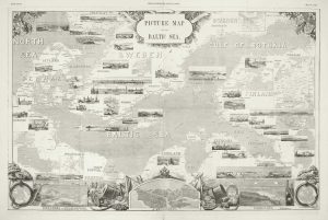
A pictorial map of the Baltic theatre of the Crimean War
ILLUSTRATED LONDON NEWS. Date: 1856Stock #: 10369 £325.00 -

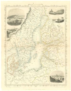
Mid 19th century map of the Baltic Sea
TALLIS, John. Date: 1860Stock #: 18556 £100.00
Items by the same author
Add to Wishlist
Add to Wishlist

Add to Wishlist
Add to Wishlist
Add to Wishlist
Add to Wishlist
Add to Wishlist
Add to Wishlist
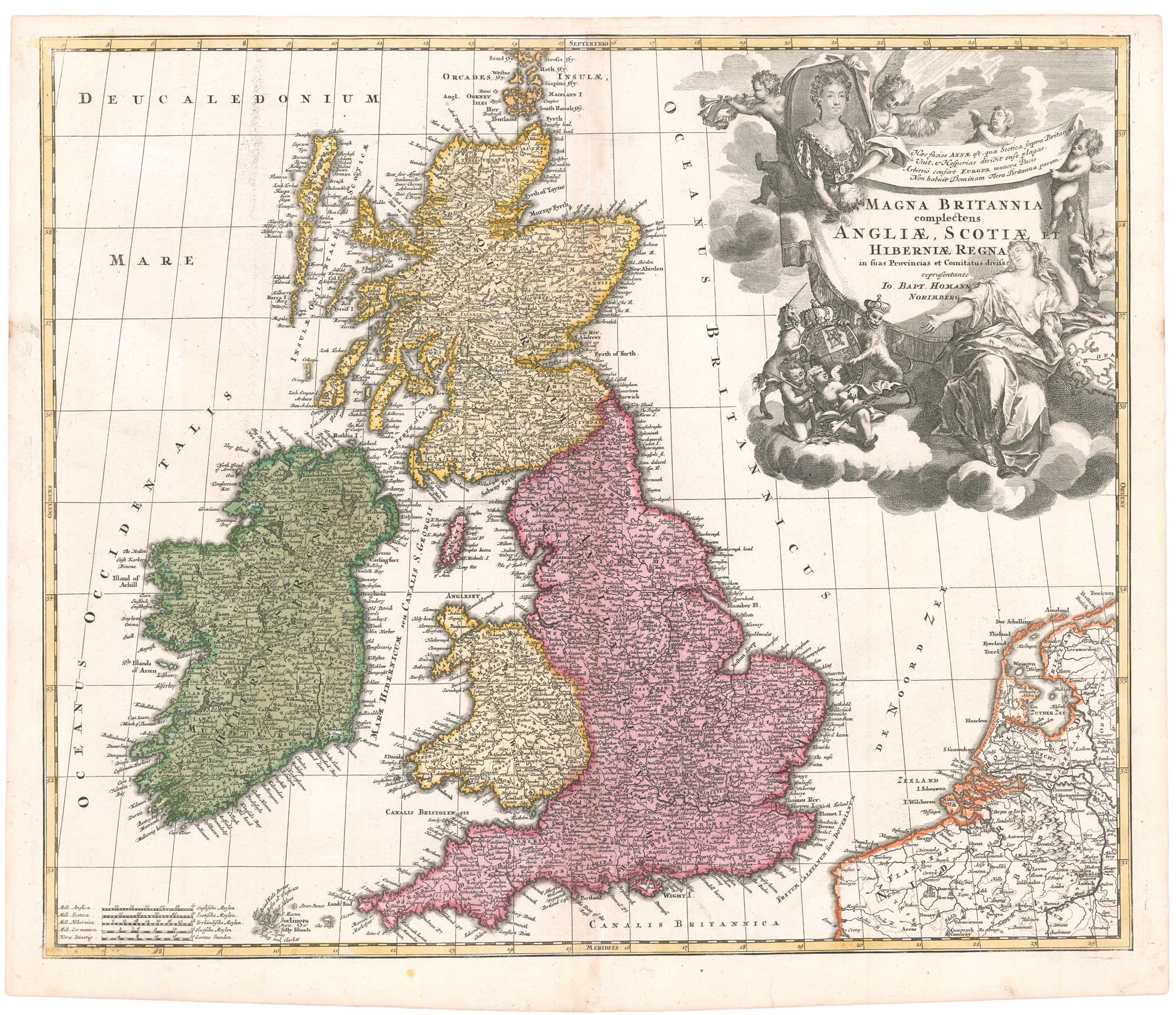
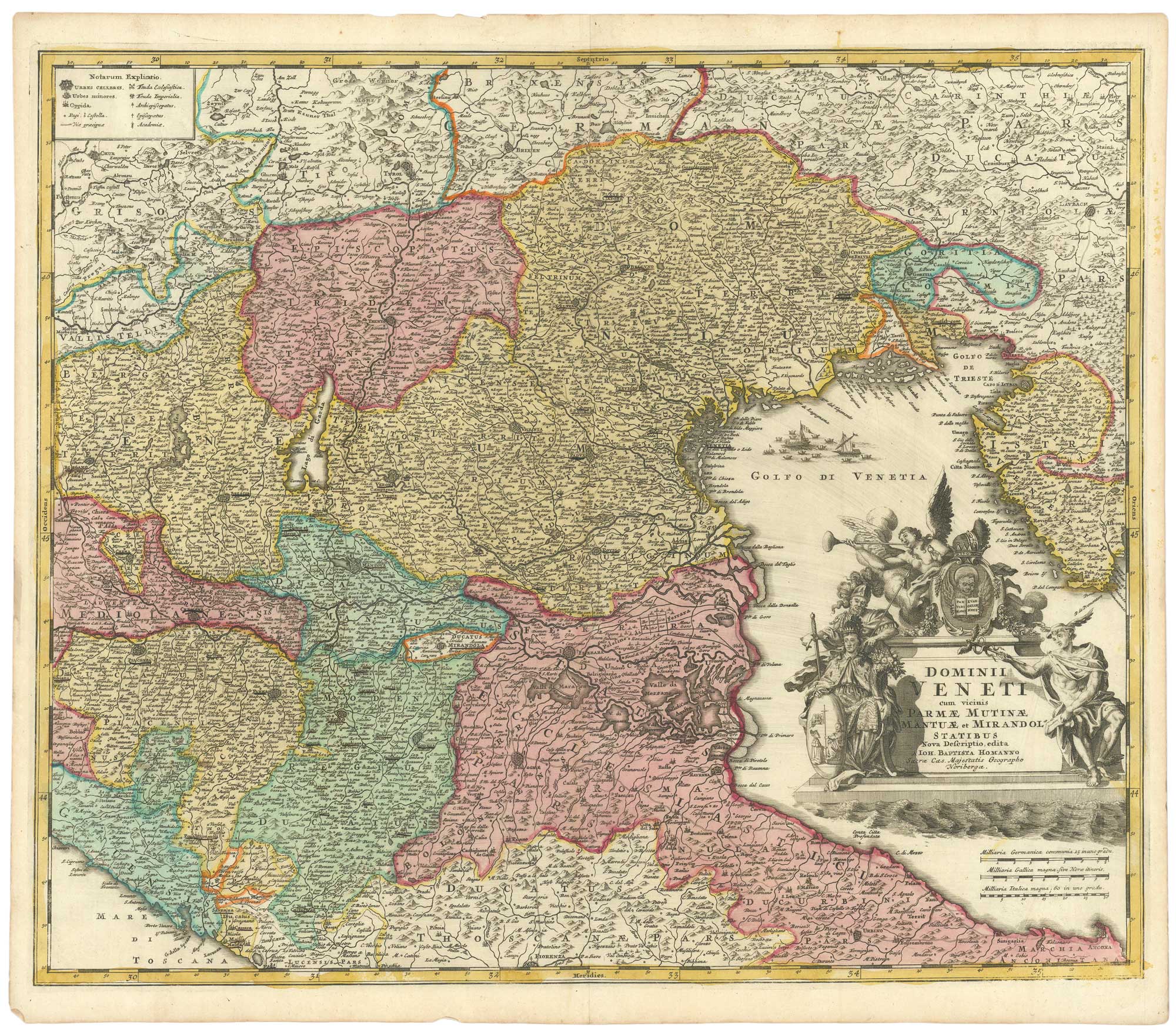
An early 18th century map of the British Isles, with a portrait of Queen Anne
HOMANN, Johann Baptist. Date: 1707 Stock #: 26457 £350.00
Add to Wishlist
Add to Wishlist
Add to Wishlist
Add to Wishlist