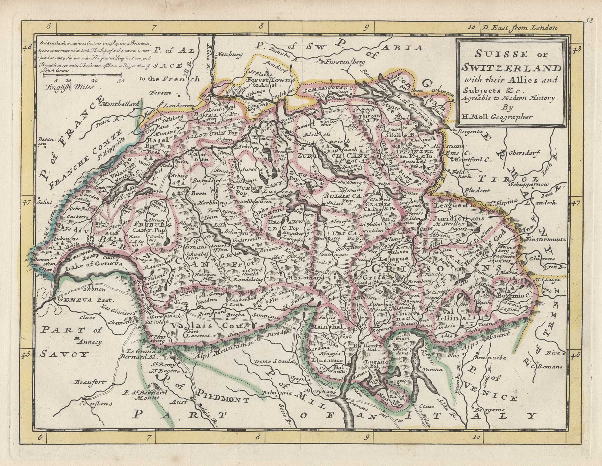
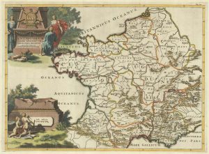
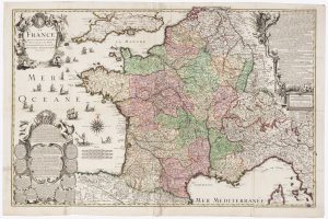
18th century English map of France
France Divided into all its Provinces and Aquisitions &c. Agreeable to Modern History.
London: Thomas Bowles and John Bowles, 1732. Fine original outline colour. 205 x 275mm.
£160.00
1 in stock
x
Question About This Item?
18th century English map of France & MOLL, Herman.Stock #: 25879"*" indicates required fields
Similar to Sell?
Add to Wishlist
Add to Wishlist
Description
A map of France marking the major roads, which is unusual for the period.
Moll first published his 'Atlas Minor' in 1729 but, shortly after his death in 1732, Thomas Bowles and his son John reissued it with plate numbers added.
Condition:
A good example.Related products
-

A mid-19th century map of France with vignette scenes
TALLIS, John. Date: 1851Stock #: 21630 £110.00 -

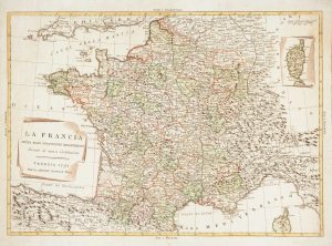
A decorative 18th century map of France
BRION DE LA TOUR, Louis. Date: 1770Stock #: 15529 £200.00 -

18th century map of France
HOMANN, Johann Baptist. Date: 1710Stock #: 26386 £250.00 -
A map of the early Church in France
SANSON, Nicolas. Date: 1704Stock #: 22063 £340.00 -

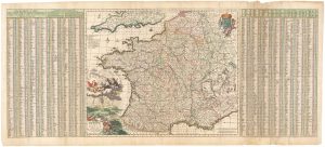
A 17th century map of France with rare gazzetteer side-panels
VISSCHER, Nicolas. Date: 1690Stock #: 23744 £750.00 -

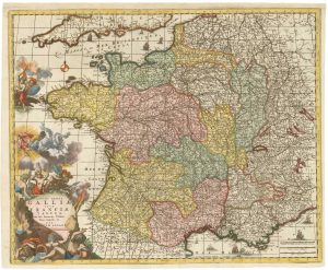
A decorative 18th century map of France
ALLARD, Carel. Date: 1717Stock #: 26295 £650.00 -

The new Departements of France
ZATTA, Antonio. Date: 1792Stock #: 9534 £350.00 -
![Pictorial map of France - France. by ALEPH [HARVEY, William]., 1869 – Altea Gallery](data:image/svg+xml,%3Csvg%20xmlns='http://www.w3.org/2000/svg'%20viewBox='0%200%20300%20349'%3E%3C/svg%3E)
Pictorial map of France
ALEPH [HARVEY, William]. Date: 1869Stock #: 17237 £450.00 -

A decorative four-sheet map of France in fine colour
INSELIN, Charles. Date: 1713Stock #: 11666 £2,000.00
![Pictorial map of France - France. by ALEPH [HARVEY, William]., 1869 – Altea Gallery](https://altea-gallery-cdn.s3.eu-west-2.amazonaws.com/wp-content/uploads/2025/05/08144747/alteashop_17237-300x349.jpg)
Items by the same author
Add to Wishlist
Add to Wishlist
Add to Wishlist
Add to Wishlist
Add to Wishlist
Add to Wishlist
Add to Wishlist
Add to Wishlist

18th century English map of south east Germany and Austria
MOLL, Herman. Date: 1732 Stock #: 25886 £85.00
Add to Wishlist
Add to Wishlist
Add to Wishlist
Add to Wishlist