

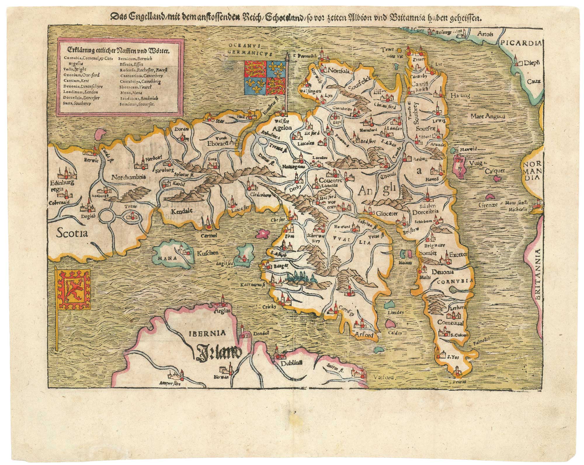
16th century woodblock map of France
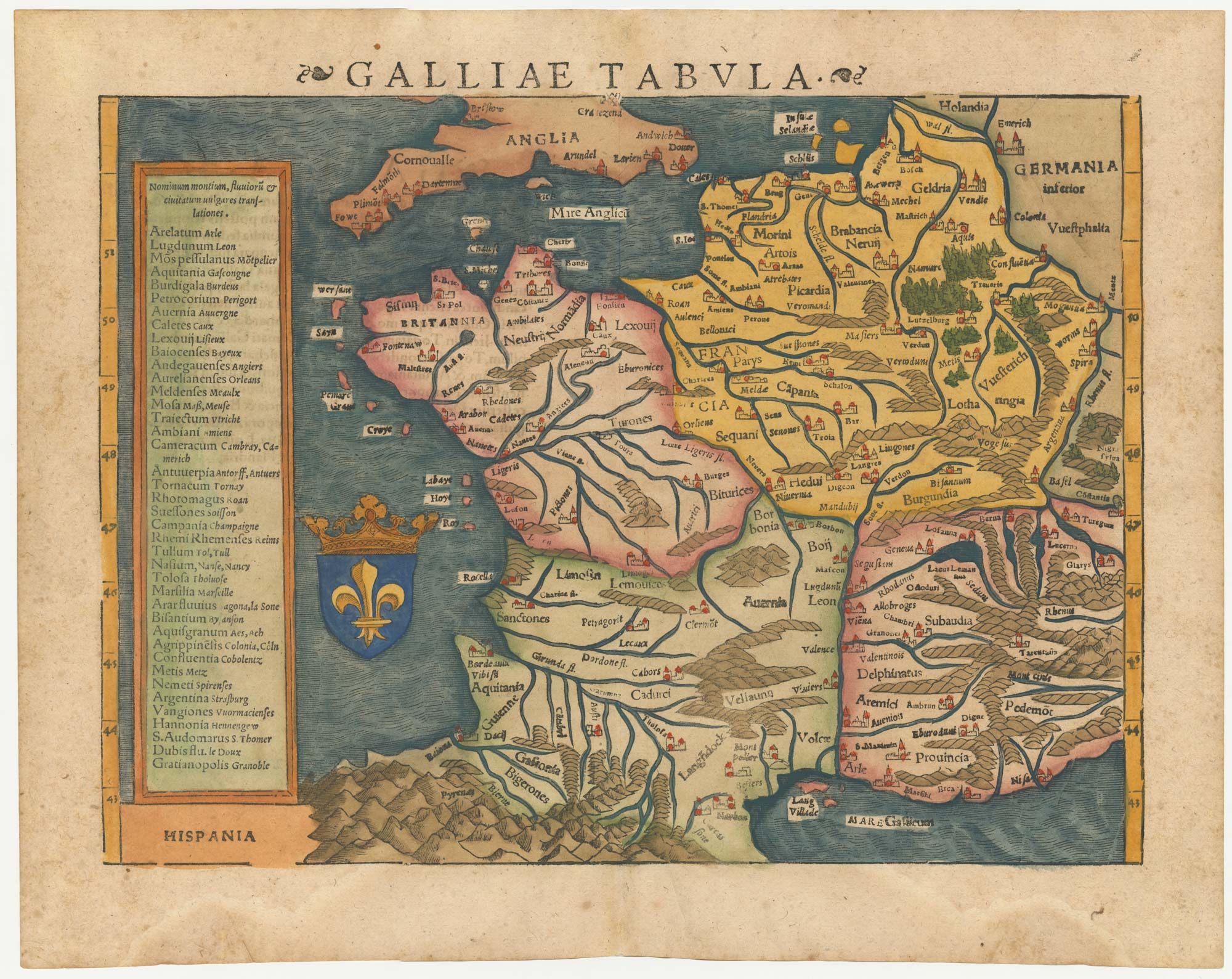
Galliae Tabula.
Basle, 1572, Latin text edition. Coloured woodcut, printed area 265 x 345mm.
x
Question About This Item?
16th century woodblock map of France & MUNSTER, Sebastian.Stock #: 24580"*" indicates required fields
Similar to Sell?
Add to Wishlist
Add to Wishlist
Description
Munster's 'modern' map of France, with a text box listing the names of the cities in Latin and French. On the reverse is a Latin text description.
Condition:
A good example.Related products
-

18th century map of France
HOMANN, Johann Baptist. Date: 1710Stock #: 26386 £250.00 -

17th century Dutch map of Gaul after Ortelius
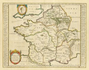
BLAEU, Willem Janszoon. Date: 1645Stock #: 25335 £250.00 -
![Pictorial map of France - France. by ALEPH [HARVEY, William]., 1869 – Altea Gallery](data:image/svg+xml,%3Csvg%20xmlns='http://www.w3.org/2000/svg'%20viewBox='0%200%20300%20349'%3E%3C/svg%3E)
Pictorial map of France
ALEPH [HARVEY, William]. Date: 1869Stock #: 17237 £450.00 -

A 17th century map of France with rare gazzetteer side-panels
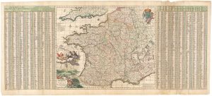
VISSCHER, Nicolas. Date: 1690Stock #: 23744 £750.00 -

The first geological map of France
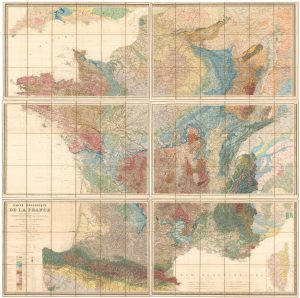
DUFRENOY, P.A. & ELIE DE BEAUMONT, J.B. Date: 1841Stock #: 26072 £7,500.00 -

Wall map of the French Empire at its height
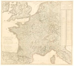
CHAUMIER & MAUBORGNE. Date: 1813Stock #: 17401 £900.00 -

A decorative four-sheet map of France in fine colour
INSELIN, Charles. Date: 1713Stock #: 11666 £2,000.00 -

A decorative 18th century map of France
ALLARD, Carel. Date: 1717Stock #: 26295 £650.00 -

An early edition of Ortelius’s map of France
ORTELIUS, Abraham. Date: 1570Stock #: 23234 £650.00
![Pictorial map of France - France. by ALEPH [HARVEY, William]., 1869 – Altea Gallery](https://altea-gallery-cdn.s3.eu-west-2.amazonaws.com/wp-content/uploads/2025/05/08144747/alteashop_17237-300x349.jpg)
Items by the same author
Add to Wishlist
Add to Wishlist
Add to Wishlist
Add to Wishlist

Add to Wishlist
Add to Wishlist
Add to Wishlist
Add to Wishlist
Add to Wishlist
Add to Wishlist
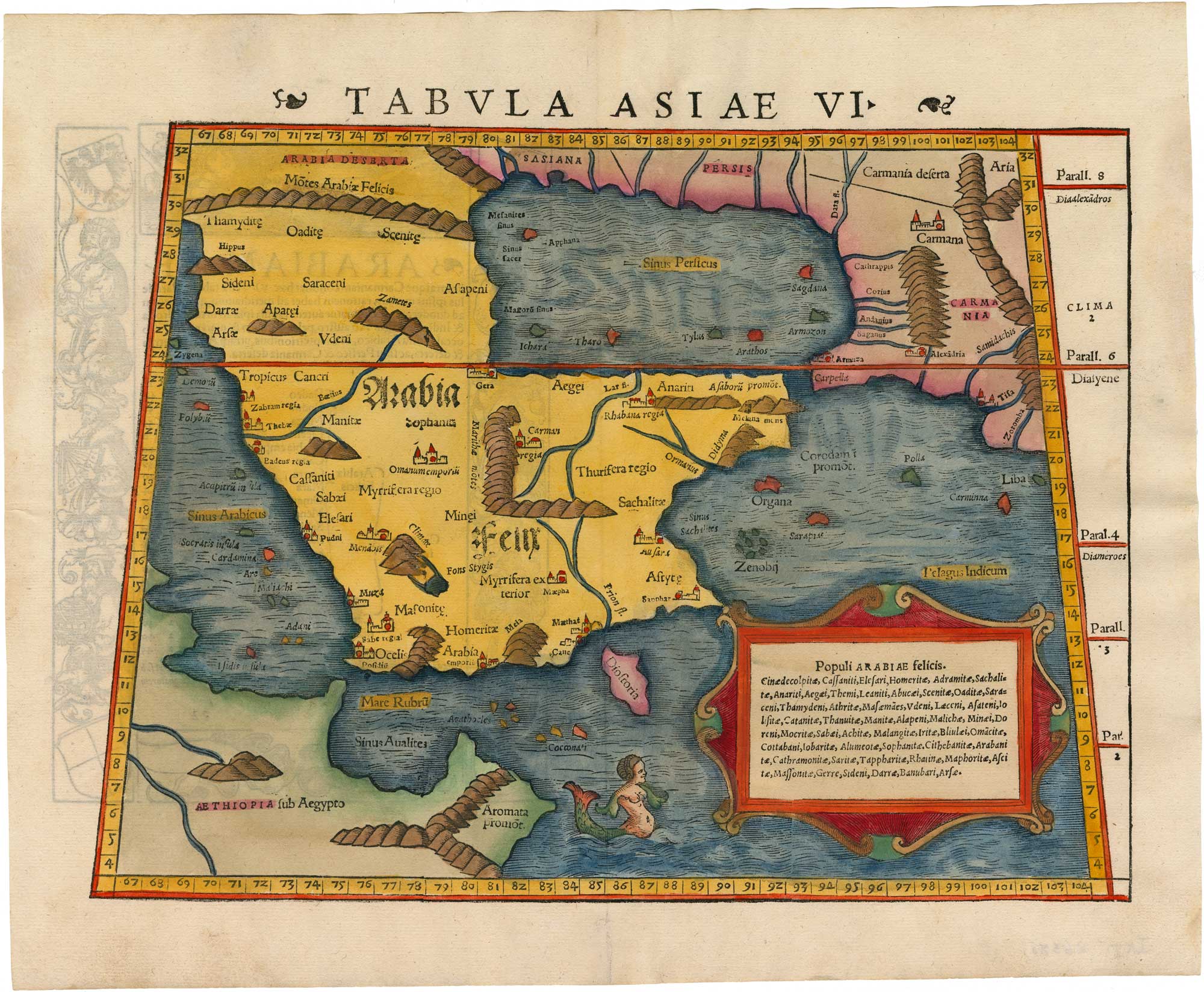
A 16th century woodcut map of Arabia according to Ptolemy
MUNSTER, Sebastian. Date: 1550 Stock #: 26380 £950.00
Add to Wishlist
Add to Wishlist