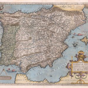


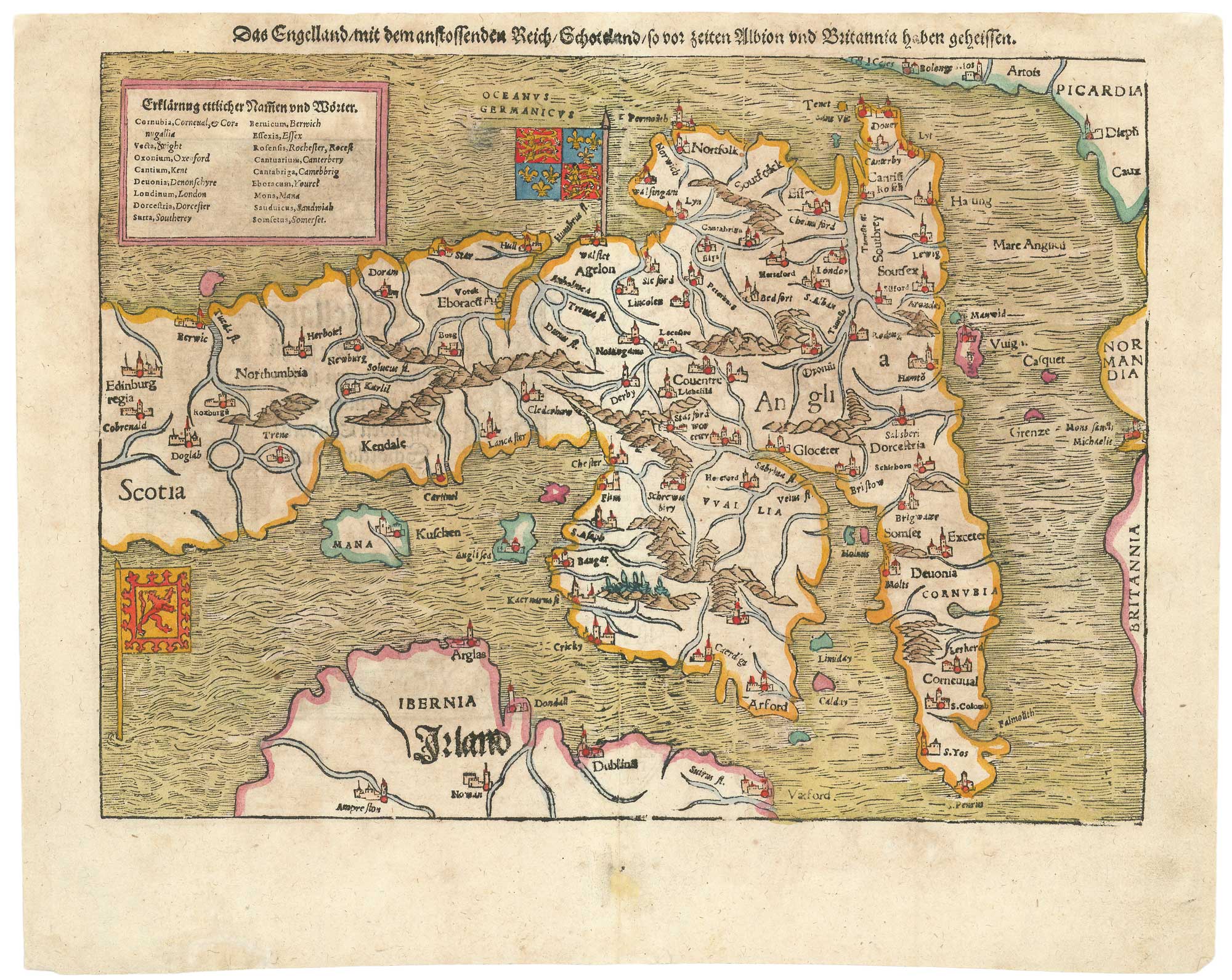
Munster’s map of the Iberian Peninsula
Hispania Tabula.
Basle, 1572. Latin text edition. Coloured woodcut, printed area 295 x 375mm.
x
Question About This Item?
Munster’s map of the Iberian Peninsula & MUNSTER, Sebastian.Stock #: 24579"*" indicates required fields
Similar to Sell?
Add to Wishlist
Add to Wishlist
Description
One of the earliest obtainable maps of Spain and Portugal, published in Munster's 'Cosmographia'.
Condition:
Small repairs in bottom margin.Related products
-

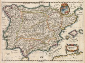
17th century Dutch map of Spain and Portugal in fine colour
VISSCHER, Nicolas Jansz. Date: 1680Stock #: 22490 £750.00 -

17th century map of Iberia
MOORE, Jonas. Date: 1681Stock #: 16803 £280.00 -
![[Untitled map of Spain and Portugal.] by Anonymous., 1560.](data:image/svg+xml,%3Csvg%20xmlns='http://www.w3.org/2000/svg'%20viewBox='0%200%20300%20228'%3E%3C/svg%3E)
A 16th century woodcut map of Iberia
Anonymous. Date: 1560Stock #: 21508 £350.00 -

An 18th century map of Spain and Portugal
HOMANN, Johann Baptist. Date: 1720Stock #: 26385 £480.00 -

A decorative 17th century map of Navarre
BLAEU, Willem Janszoon. Date: 1650Stock #: 24814 £250.00 -

An unusual 17th century prospect of Cordoba
MEISNER, Daniel. Date: 1640Stock #: 24683 £150.00 -

17th century map of Spain and Portugal
MERIAN, Matthaus. Date: 1640Stock #: 22805 £300.00 -

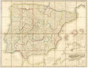
A large French edition of Lopez’s map of Iberia
LOPEZ, Thomas. Date: 1820Stock #: 23293 £850.00 -

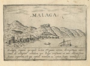
A 16th century town plan of Malaga
VALEGIO, Francesco. Date: 1598Stock #: 24184 £270.00
![[Untitled map of Spain and Portugal.] by Anonymous., 1560.](https://altea-gallery-cdn.s3.eu-west-2.amazonaws.com/wp-content/uploads/2025/05/10125639/alteashop_21508-300x228.jpg)
Items by the same author
Add to Wishlist
Add to Wishlist
Add to Wishlist
Add to Wishlist

Add to Wishlist
Add to Wishlist
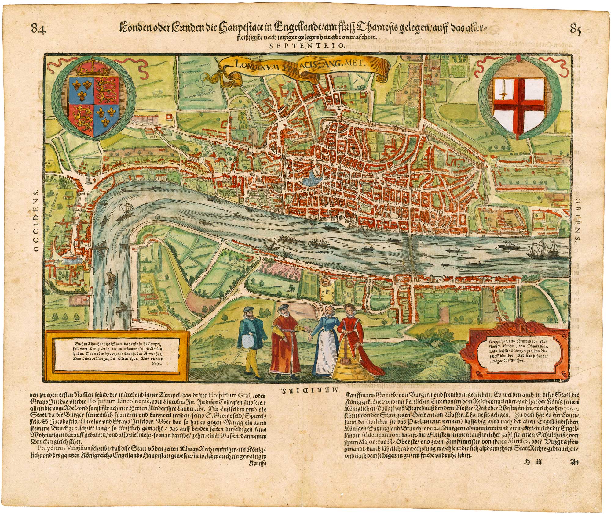
Add to Wishlist
Add to Wishlist
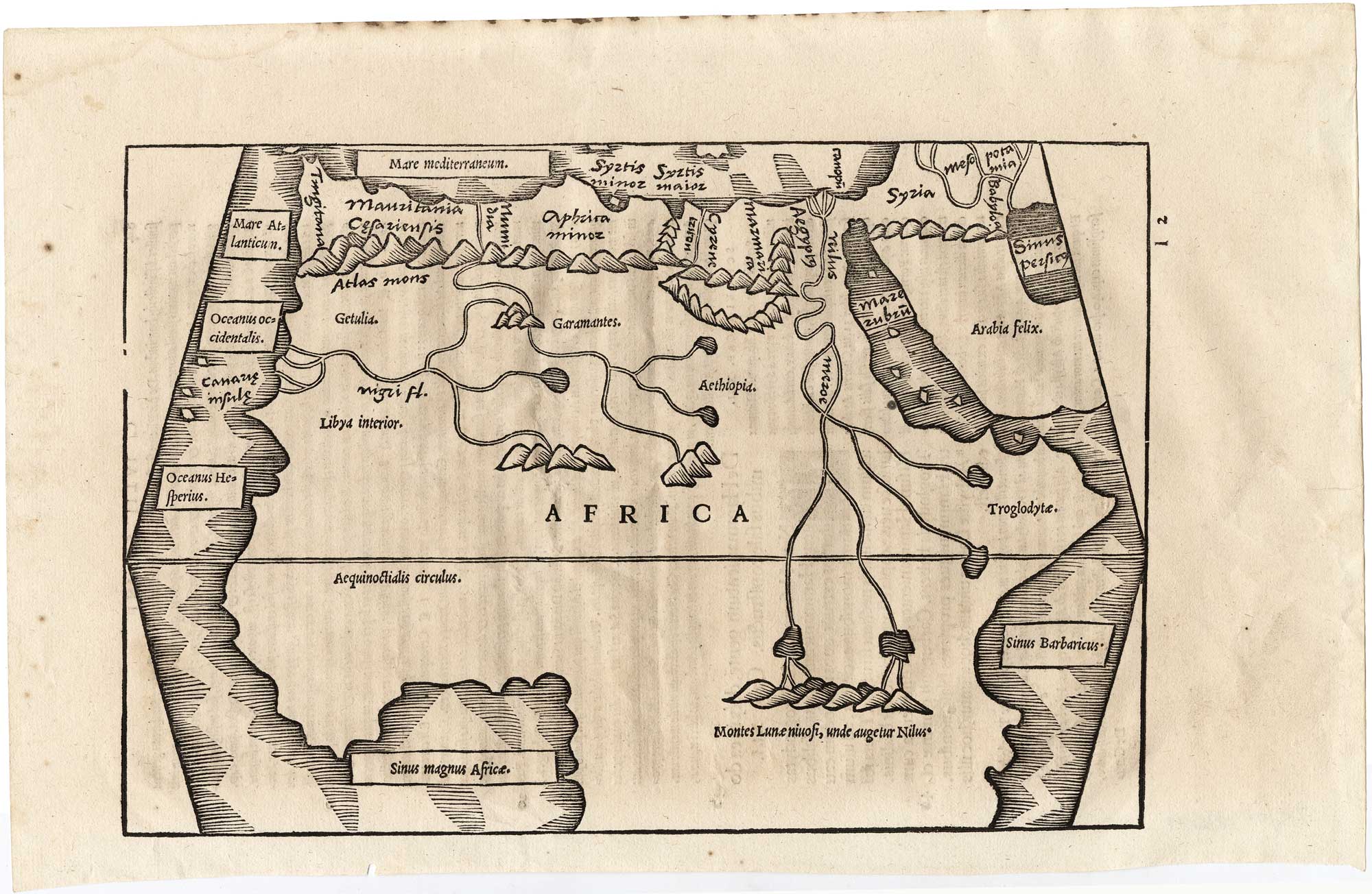
Add to Wishlist
Add to Wishlist
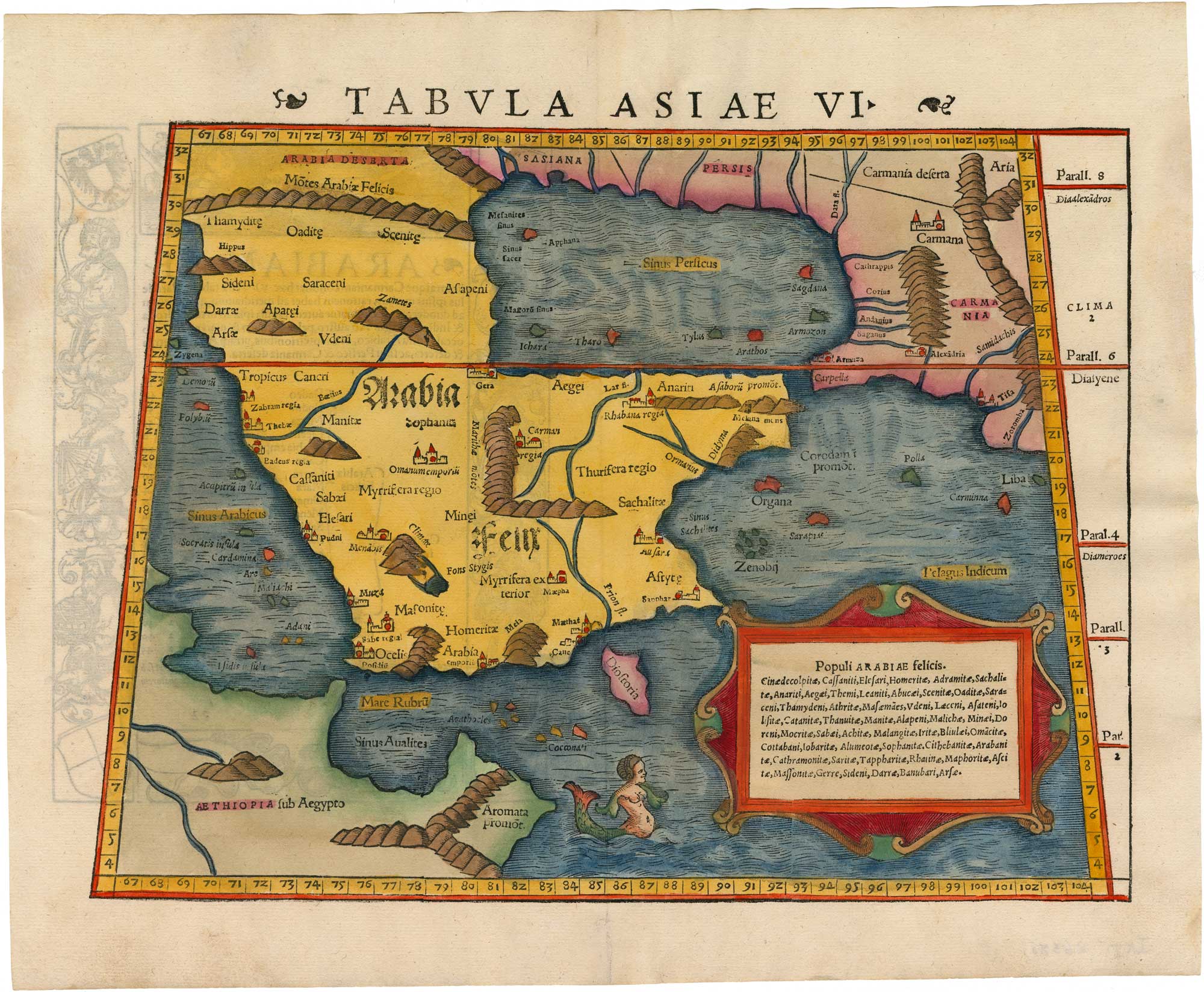
A 16th century woodcut map of Arabia according to Ptolemy
MUNSTER, Sebastian. Date: 1550 Stock #: 26380 £950.00
Add to Wishlist
Add to Wishlist