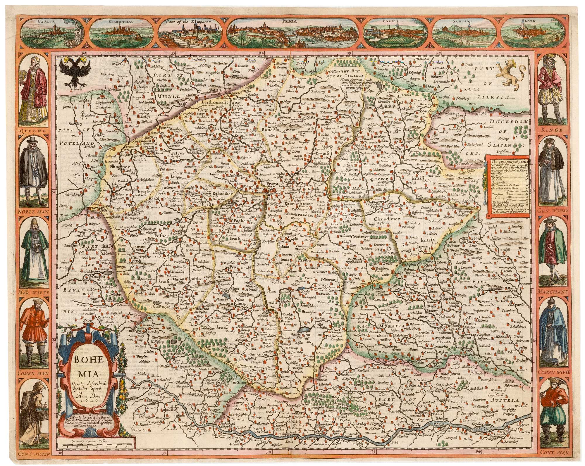


A 17th century English carte à figure map of Bohemia
Bohemia Newly described by John Speed. Anno Dom: 1626.
London: Roger Rea & Son, 1665. Coloured. 410 x 515mm.
£1,400.00
1 in stock
x
Question About This Item?
A 17th century English carte à figure map of Bohemia & SPEED, John.Stock #: 23996"*" indicates required fields
Similar to Sell?
Add to Wishlist
Add to Wishlist
Description
A fine map of Bohemia, published in John Speed's 'Prospect of the Most Famous Parts of the World', the first world atlas published in England. At the top of this map are seven insets, showing views of Prague, Comethau (Chomutov), Schlani (Slany), Lavn (Louny), Polm (Polna) and Czalsa, and of the 'Corte of the Emparer'. On the left and right sides are illustrations of Bohemians of five social ranks, from Queen to Countryman. Shown on the map are all the major settlements of Bohemia, and those belonging to neighbouring Germany, Moravia Silesia and Austria, stretching from Chemnitz to Silberberg (Zlotoryja) in the north, and from Munchen (Munich) to Wien (Vienna) in the south.
The map was first issued in 1627, but this example comes from the Roger Rea issue, which was beset with disaster. According to an advert for the 1676 Bassett & Chiswell edition, ''the greatest part of an Impression, then newly Printed, [was] destroyed by the late dreadful Fire, 1666". Surviving examples of any Rea map are thus rare.
Condition:
Top margin replaced, fine impression.Related products
-

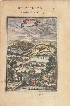
17th century miniature map of Prague
MALLET, Alain Manesson. Date: 1683Stock #: 25373 £160.00 -

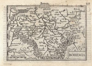
A 16th century miniature map of Bohemia
LANGENES, Barent. Date: 1599Stock #: 21309 £110.00 -

An 18th century playing-card map of Bohemia
RABATTA, Augusto & BAILOU, Jean Baptist de. Date: 1779Stock #: 12993 £180.00 -

An incunable prospect of Prague
SCHEDEL, D. Hartmann. Date: 1493Stock #: 24451 £1,450.00 -

Hollar’s satire of the English Civil War
HOLLAR, Wenceslaus. Date: 1649Stock #: 25847 £1,400.00
Items by the same author
Add to Wishlist
Add to Wishlist
Add to Wishlist
Add to Wishlist
Add to Wishlist
Add to Wishlist

Add to Wishlist
Add to Wishlist
Add to Wishlist
Add to Wishlist

The first atlas map of the world to show California as an island
SPEED, John. Date: 1655 Stock #: 26500 £13,000.00
Add to Wishlist
Add to Wishlist