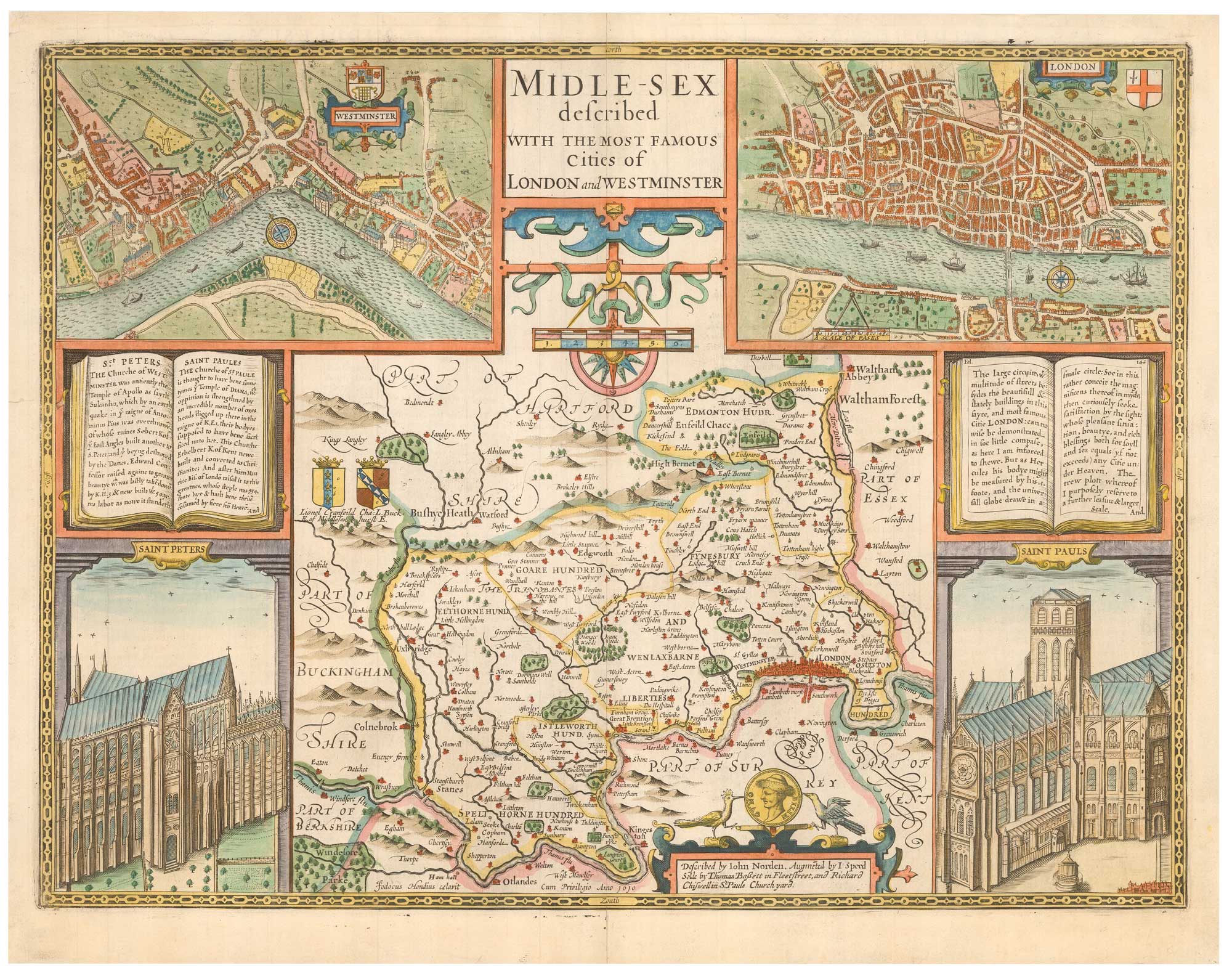


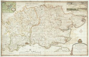
Speed’s famous map of Middlesex with London
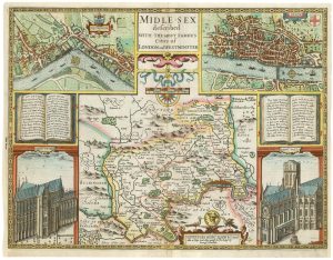
Midlesex described with the Most Famous Cities of London and Westminster. Described by John Norden...
London: Thomas Bassett & Richard Chiswell, 1676. Hand coloured. 385 x 510mm.
£1,800.00
1 in stock
x
Question About This Item?
Speed’s famous map of Middlesex with London & SPEED, John.Stock #: 25773"*" indicates required fields
Similar to Sell?
Add to Wishlist
Add to Wishlist
Description
A highly-decorative map of Middlesex, engraved by Jodocus Hondius and published in John Speed's important atlas, 'The Theatre of the Empire of Great Britain. It was derived from an unpublished map by John Norden and has inset town plans of London and Westminster (also after surveys by Norden, published 1593) and views of St Paul's Cathedral and Westminster Abbey.
Norden was the first surveyor to plan a series of county histories with maps; however he failed to attract sufficient backing for his enterprise and never completed it, leaving Christopher Saxton to produce the first English county atlas in 1579. However Speed considered Norden's surveying superior to Saxton's and preferred to use Norden as a source where possible. As Saxton did not published a map of Middlesex (only a map of south east England), the only earlier maps of the county were from smaller-format editions of Camden's 'Britannia'.
Condition:
A good example.References:
SKELTON: 92.Related products
-

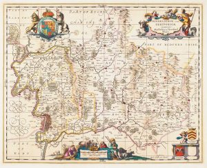
A classic 17th century Dutch map of Middlesex
BLAEU, Johannes. Date: 1658Stock #: 22701 £550.00 -

Miniature map of Middlesex
PERROT, Aristide Michel. Date: 1828Stock #: 23302 £45.00 -

A First Edition example of Speed’s map of Middlesex
SPEED, John. Date: 1611Stock #: 25120 £2,500.00 -

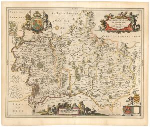
17th century map of Middlesex & Hertfordshire
JANSSON, Jan. Date: 1710Stock #: 14617 £850.00 -

17th century map of Middlesex & Hertfordshire
JANSSON, Jan. Date: 1646Stock #: 23925 £750.00 -

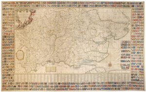
A monumental six-sheet map of Middlesex, Essex and Hertfordshire
WARBURTON, John. Date: 1726Stock #: 25159 £6,500.00 -

Rare map of Middlesex, Essex and Hertfordshire
WARBURTON, John. Date: 1726Stock #: 12907 £1,100.00
Items by the same author
Add to Wishlist
Add to Wishlist
Add to Wishlist
Add to Wishlist
Add to Wishlist
Add to Wishlist

Add to Wishlist
Add to Wishlist
Add to Wishlist
Add to Wishlist

The first atlas map of the world to show California as an island
SPEED, John. Date: 1655 Stock #: 26500 £13,000.00
Add to Wishlist
Add to Wishlist