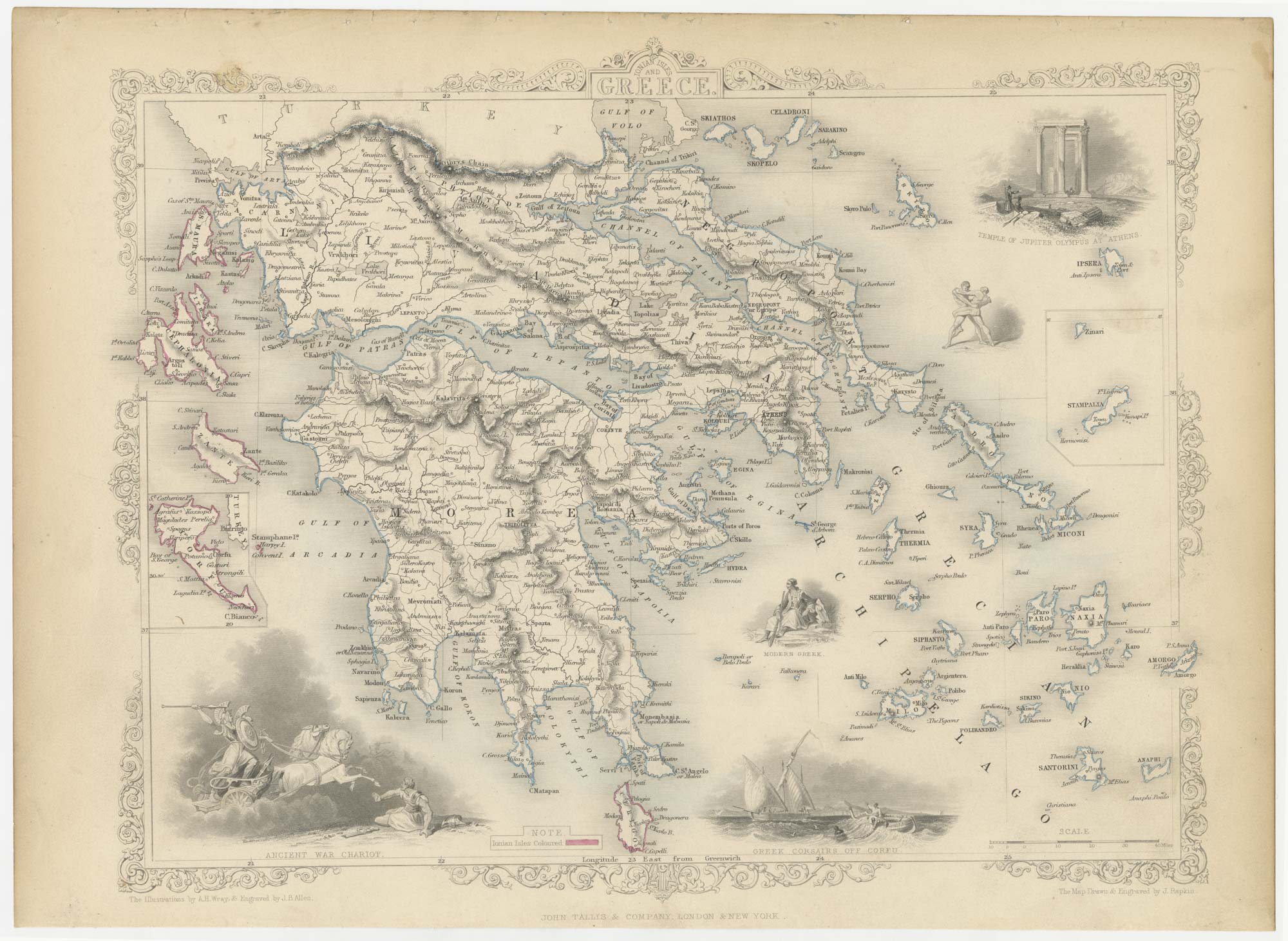


Mid 19th century map of Greece with decorative vignettes
Ionian Isles and Greece.
London: John Tallis & Co., c.1851. Steel engraving with original outline colour, printed area 330 x 260mm.
x
Question About This Item?
Mid 19th century map of Greece with decorative vignettes & TALLIS, John.Stock #: 23523"*" indicates required fields
Similar to Sell?
Add to Wishlist
Add to Wishlist
Description
A detailed Victorian map of Greece with inset maps of Corfu and Stampalia, with the ' United States of the Ionian Islands' marked in red as a British Protectorate. Decorative vignettes including a Greek War Chariot, wrestling and Corsairs.
The map was drawn and engraved by John Rapkin for the 'The Illustrated Atlas, and Modern History of the World, Geographical Political, Commercial & Statistical', edited by Montgomery Martin, which was one of the last decorative atlases to be published.
Condition:
A good example.Related products
-

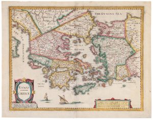
A scarce map 18th century map of Greece
BAUDRAND, Michel Antoine. Date: 1716Stock #: 22649 £440.00 -

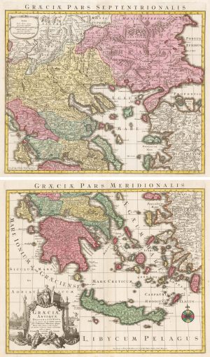
A 18th century two-sheet map of Ancient Greece
SEUTTER, Matthaus. Date: 1760Stock #: 22403 £450.00 -

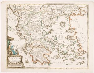
A scarce 17th century map of Greece
BEREY, Nicolas. Date: 1663Stock #: 16597 £2,200.00 -

A superb map of Morea in fine original colour
DE WIT, Frederick. Date: 1685Stock #: 22274 £4,000.00 -

A 16th century pilgrimage to Jerusalem
ZUALLART, Jean. Date: 1595Stock #: 23825 £3,200.00 -

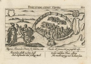
An unusual 17th century prospect of Chalkis
MEISNER, Daniel. Date: 1640Stock #: 24687 £180.00 -

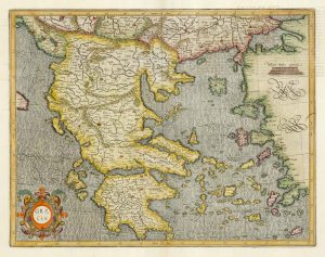
17th century Dutch map of Greece
MERCATOR, Gerard. Date: 1620Stock #: 12047 £750.00 -

Classic C17th English map of Greece
SPEED, John. Date: 1676Stock #: 20298 £980.00 -
A 16th century miniature map of Greece
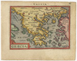
ORTELIUS, Abraham. Date: 1593Stock #: 24469 £150.00


Items by the same author
Add to Wishlist
Add to Wishlist

A mid-19th century map of France with vignette scenes
TALLIS, John. Date: 1851 Stock #: 21630 £110.00
Add to Wishlist
Add to Wishlist
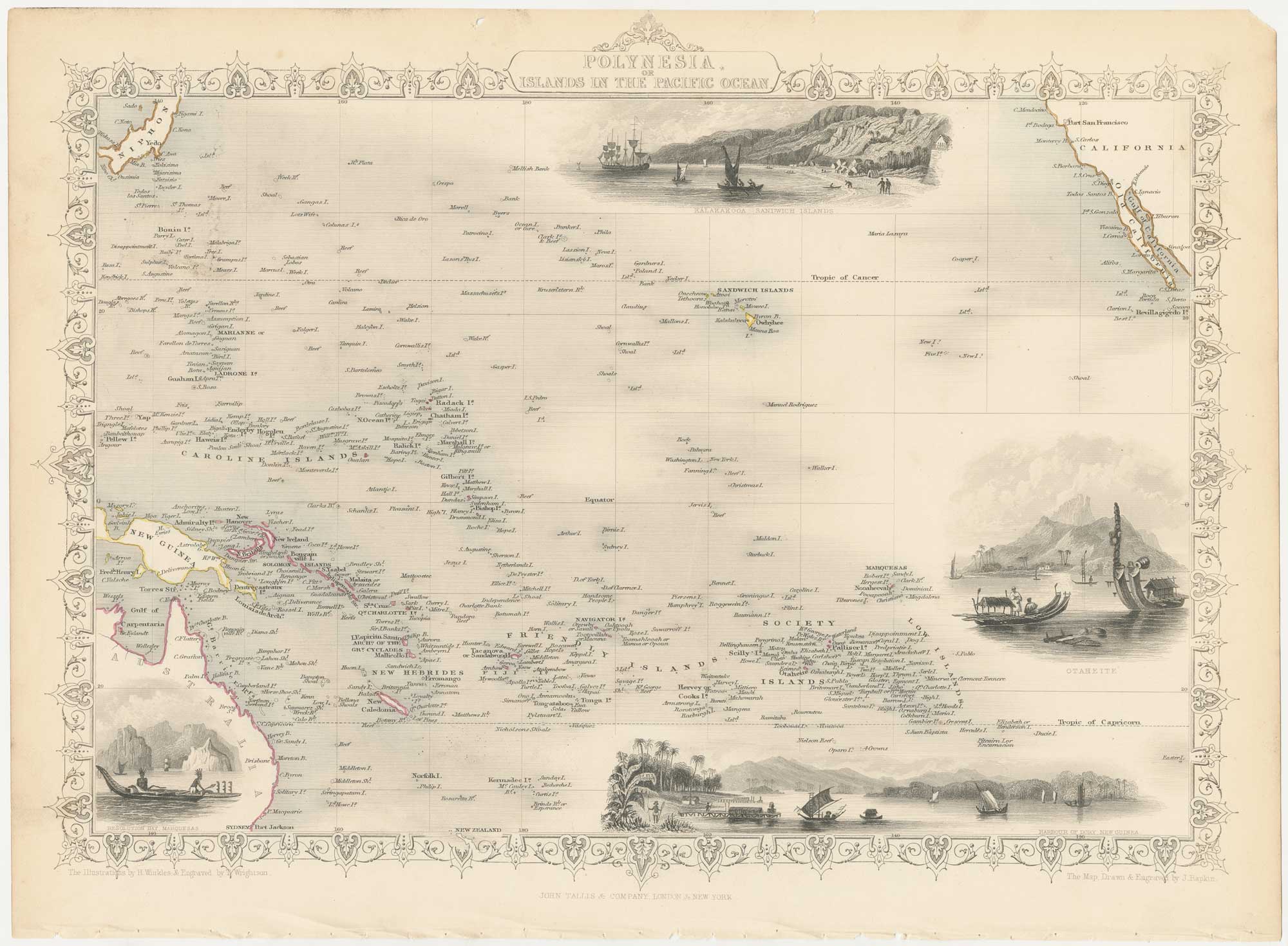
A mid-19th century map of Polynesia with decorative vignettes
TALLIS, John. Date: 1851 Stock #: 26651 £125.00
Add to Wishlist
Add to Wishlist
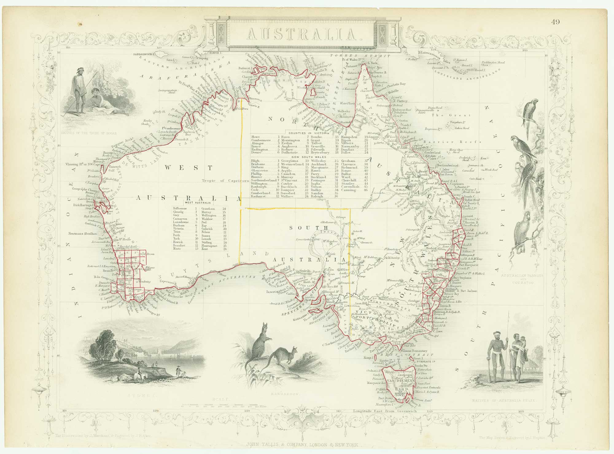
Mid 19th century map of Australia with decorative vignettes
TALLIS, John. Date: 1851 Stock #: 26649 £325.00
Add to Wishlist
Add to Wishlist
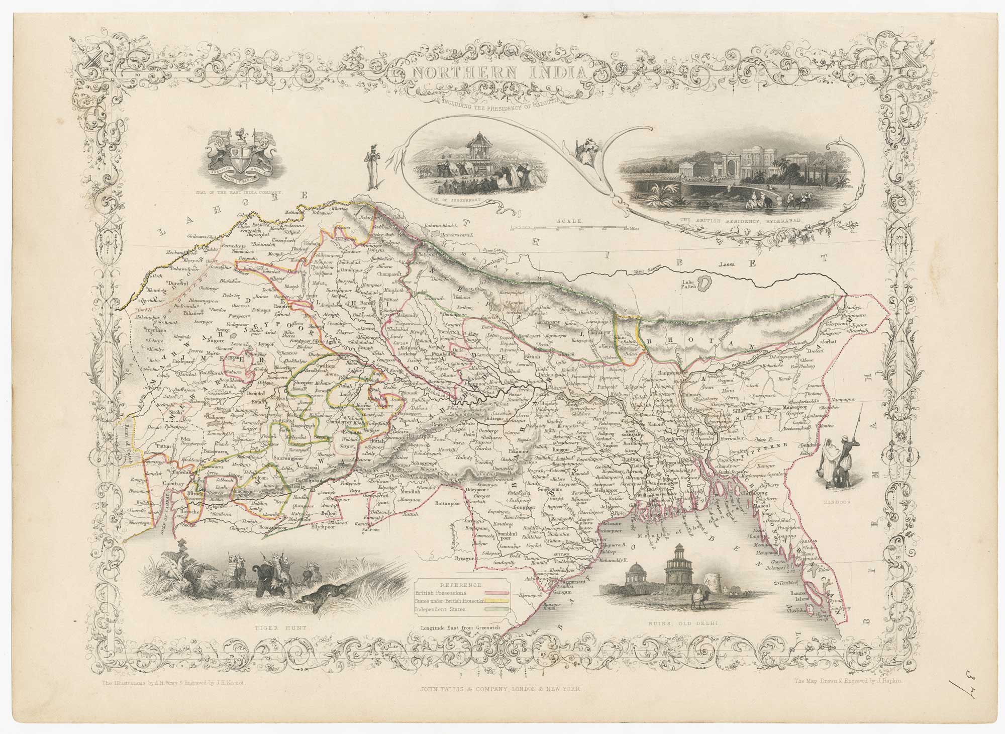
Mid-19th century map of Northern India with decorative vignettes
TALLIS, John. Date: 1851 Stock #: 21794 £190.00
Add to Wishlist
Add to Wishlist

A chart comparing the geographic features of the Western Hemisphere
TALLIS, John. Date: 1851 Stock #: 26617 £120.00
Add to Wishlist
Add to Wishlist