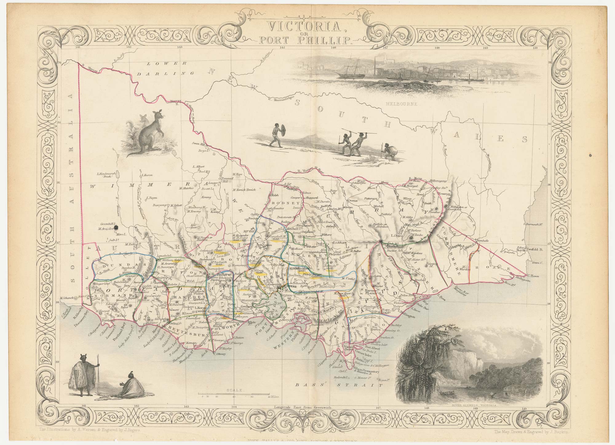


A mid-19th century map of Victoria marking the gold fields
Victoria, or Port Philip.
London, John Tallis & Co., c.1851. Original colour. Steel engraving, 260 x 330mm.
x
Question About This Item?
A mid-19th century map of Victoria marking the gold fields & TALLIS, John.Stock #: 23543"*" indicates required fields
Similar to Sell?
Add to Wishlist
Add to Wishlist
Description
A detailed map of the Australian state of Victoria, within an ornate border and decorated with vignettes of kangaroos, Aborigines, a prospect of Melbourne and a view of the River Glenelg. This state has been updated to show the gold fields, which are highlighted with colour.
The map was drawn and engraved by John Rapkin for the 'The Illustrated Atlas, and Modern History of the World, Geographical Political, Commercial & Statistical', edited by Montgomery Martin, which was one of the last decorative atlases to be published.
Condition:
Trimmed at bottom, affecting publication line.Related products
-

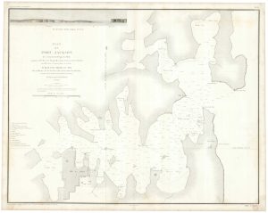
An important chart of Sydney Harbour
LA TOUANNE, Edmond Bigot de. Date: 1837Stock #: 25096 £1,600.00 -

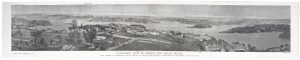
A prospect of Sydney during the International Exhibition of 1879
HARRAL, Horace. Date: 1879Stock #: 20474 £800.00 -

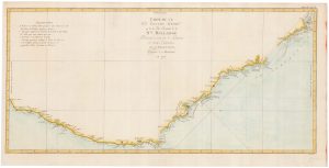
Captain Cook’s first map of New South Wales
COOK, James. Date: 1774Stock #: 20274 £950.00 -

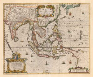
One of the earliest sea charts to show any part of Australia
HONDIUS, Henricus. Date: 1646Stock #: 25081 £1,250.00 -
![[Three untitled gores illustrating the pre-Cook mapping of Australia.] by CORONELLI, Vincenzo Maria., 1693.](data:image/svg+xml,%3Csvg%20xmlns='http://www.w3.org/2000/svg'%20viewBox='0%200%20300%20144'%3E%3C/svg%3E)
Set of three gores covering Australia from Coronelli’s 42 inch globe
CORONELLI, Vincenzo Maria. Date: 1693Stock #: 23726 £4,500.00 -

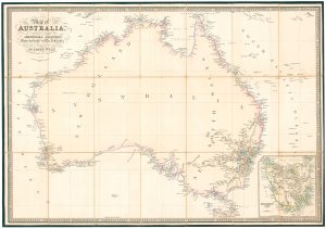
Folding map of Australia with fine colour
WYLD, James. Date: 1833Stock #: 24071 £980.00 -

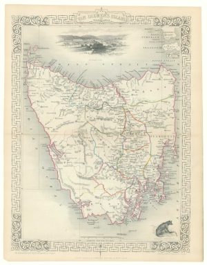
A mid 19th century map of Tasmania with decorative vignettes
TALLIS, John. Date: 1851Stock #: 17729 £140.00 -

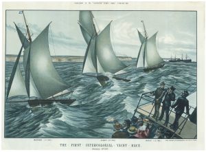
A locally-produced print of a yacht race in New South Wales
FICSHER, Otto Date: 1877Stock #: 21206 £550.00 -

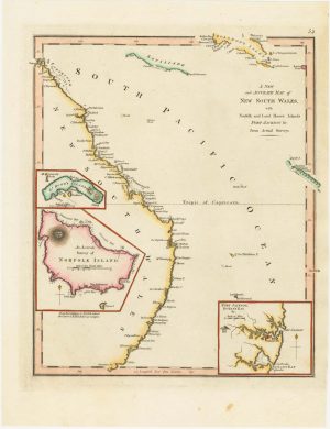
An 18th century map of New South Wales
WILKINSON, Robert. Date: 1794Stock #: 23692 £320.00
![[Three untitled gores illustrating the pre-Cook mapping of Australia.] by CORONELLI, Vincenzo Maria., 1693.](https://altea-gallery-cdn.s3.eu-west-2.amazonaws.com/wp-content/uploads/2025/05/17104526/alteashop_23726-300x144.jpg)
Items by the same author
Add to Wishlist
Add to Wishlist

A mid-19th century map of France with vignette scenes
TALLIS, John. Date: 1851 Stock #: 21630 £110.00
Add to Wishlist
Add to Wishlist
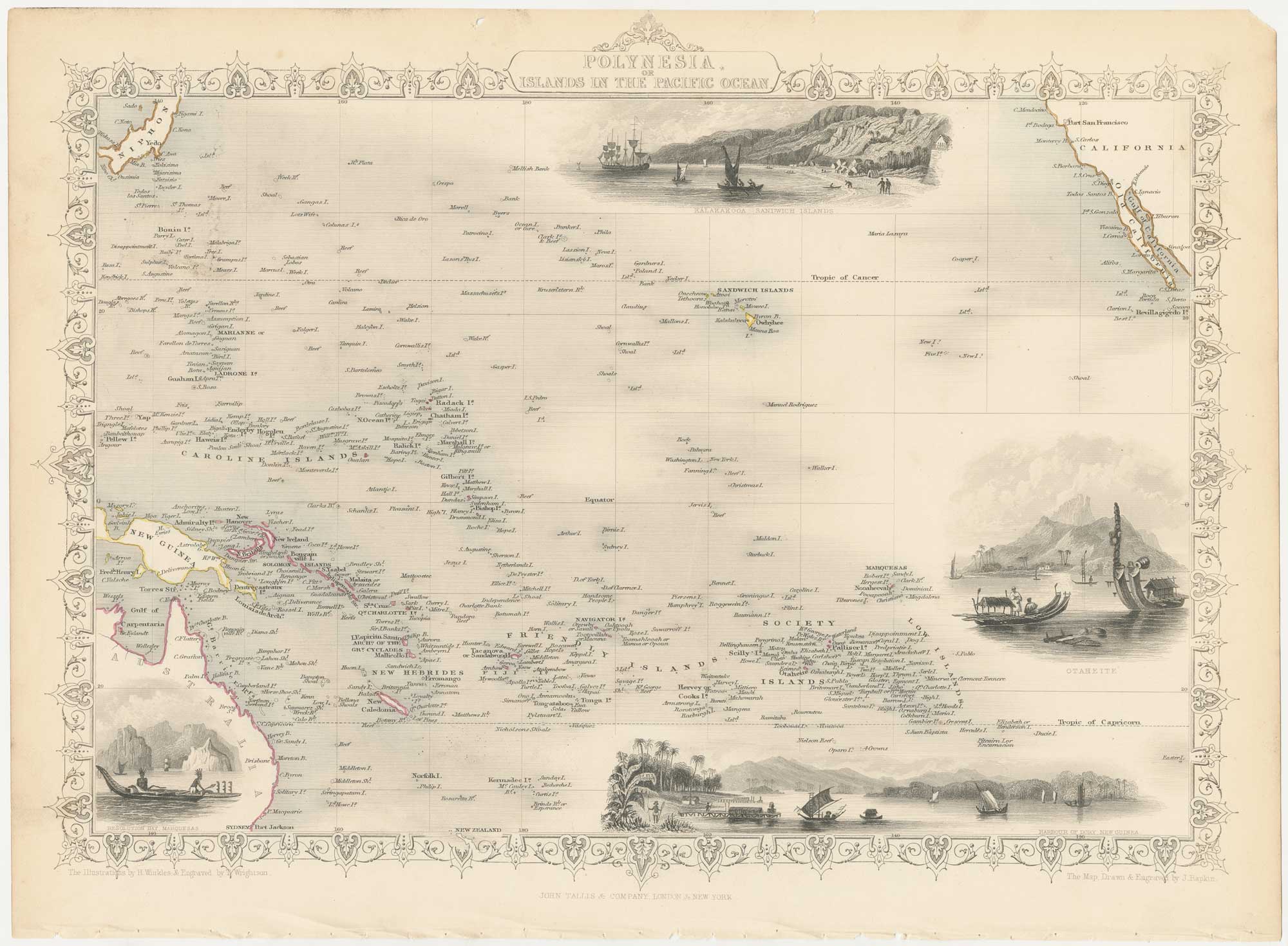
A mid-19th century map of Polynesia with decorative vignettes
TALLIS, John. Date: 1851 Stock #: 26651 £125.00
Add to Wishlist
Add to Wishlist
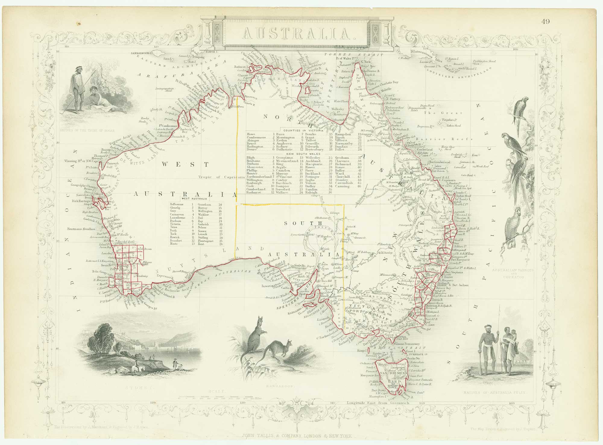
Mid 19th century map of Australia with decorative vignettes
TALLIS, John. Date: 1851 Stock #: 26649 £325.00
Add to Wishlist
Add to Wishlist
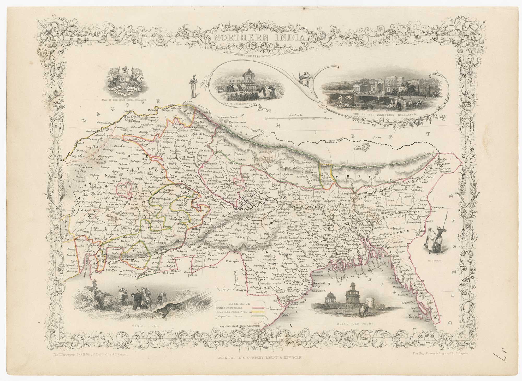
Mid-19th century map of Northern India with decorative vignettes
TALLIS, John. Date: 1851 Stock #: 21794 £190.00
Add to Wishlist
Add to Wishlist

A chart comparing the geographic features of the Western Hemisphere
TALLIS, John. Date: 1851 Stock #: 26617 £120.00
Add to Wishlist
Add to Wishlist