
![1974 map of the Arabian Peninsula, [Arabian Peninsula] جزيرة العر ب](https://altea-gallery-cdn.s3.eu-west-2.amazonaws.com/wp-content/uploads/2026/08/15105440/alteashop_26249-300x300.jpg)
![[Tabula VI Asiae.] by WALDSEEMULLER, Martin., 1541.](https://altea-gallery-cdn.s3.eu-west-2.amazonaws.com/wp-content/uploads/2025/05/10102552/alteashop_24731.jpg)


A 16th century woodcut map of Arabia
[Tabula VI Asiae.]
Lyon: Melchior & Gaspar Trechsel, 1535. Woodcut, printed area 270 x 455mm.
x
Question About This Item?
A 16th century woodcut map of Arabia & WALDSEEMULLER, Martin.Stock #: 24731"*" indicates required fields
Similar to Sell?
Add to Wishlist
Add to Wishlist
Description
The map of Arabia from the Lorenz Fries edition of Claudius Ptolemy's 'Geographia', using a reduced version of Martin Wäldseemüller's map. The title is on the reverse, within decorative woodcut borders.
Condition:
A few worm holes in the bottom of the centre fold.References:
TIBBETTS: 18.Related products
-

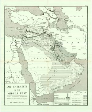
The Politics of Oil: Middle Eastern Concessions and Pipelines
Serial Maps & Petroleum Press Bureau. Date: 1950Stock #: 25443 -

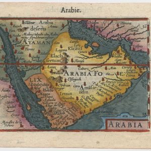
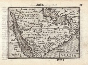
A 16th century miniature map of Arabia
LANGENES, Barent. Date: 1599Stock #: 21266 £400.00 -

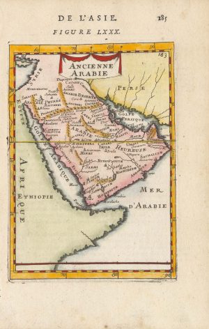
17th century miniature map of Arabia
MALLET, Alain Manesson. Date: 1683Stock #: 25376 £200.00 -

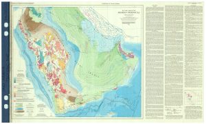
Important tectonic map of Arabia marking the ‘Arabian Gulf’
BROWN, GLEN & SAUDI ARABIAN MINISTRY OF PETROLEUM Date: 1972Stock #: 25424 £3,500.00 -

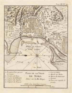
A scarce plan of the coffee-trading port of Mocha
BELLIN, Jacques-Nicolas. Date: 1764Stock #: 20757 £200.00 -

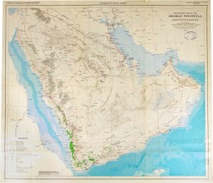
Topographic map of the Arabian Peninsula
UNITED STATES GEOLOGICAL SURVEY. Date: 1972Stock #: 26248 £800.00 -

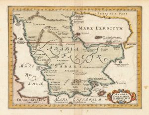
17th century map of Arabia according to Ptolemy
CLUVER, Philip. Date: 1661Stock #: 25533 £380.00 -

A 17th century Dutch map of Arabia in fine colour.
JANSSON, Jan. Date: 1660Stock #: 25935 £3,250.00 -

An early English chart of the entrance to the Red Sea
THORNTON, John. Date: 1711Stock #: 21753 £400.00
Items by the same author
Add to Wishlist
Add to Wishlist
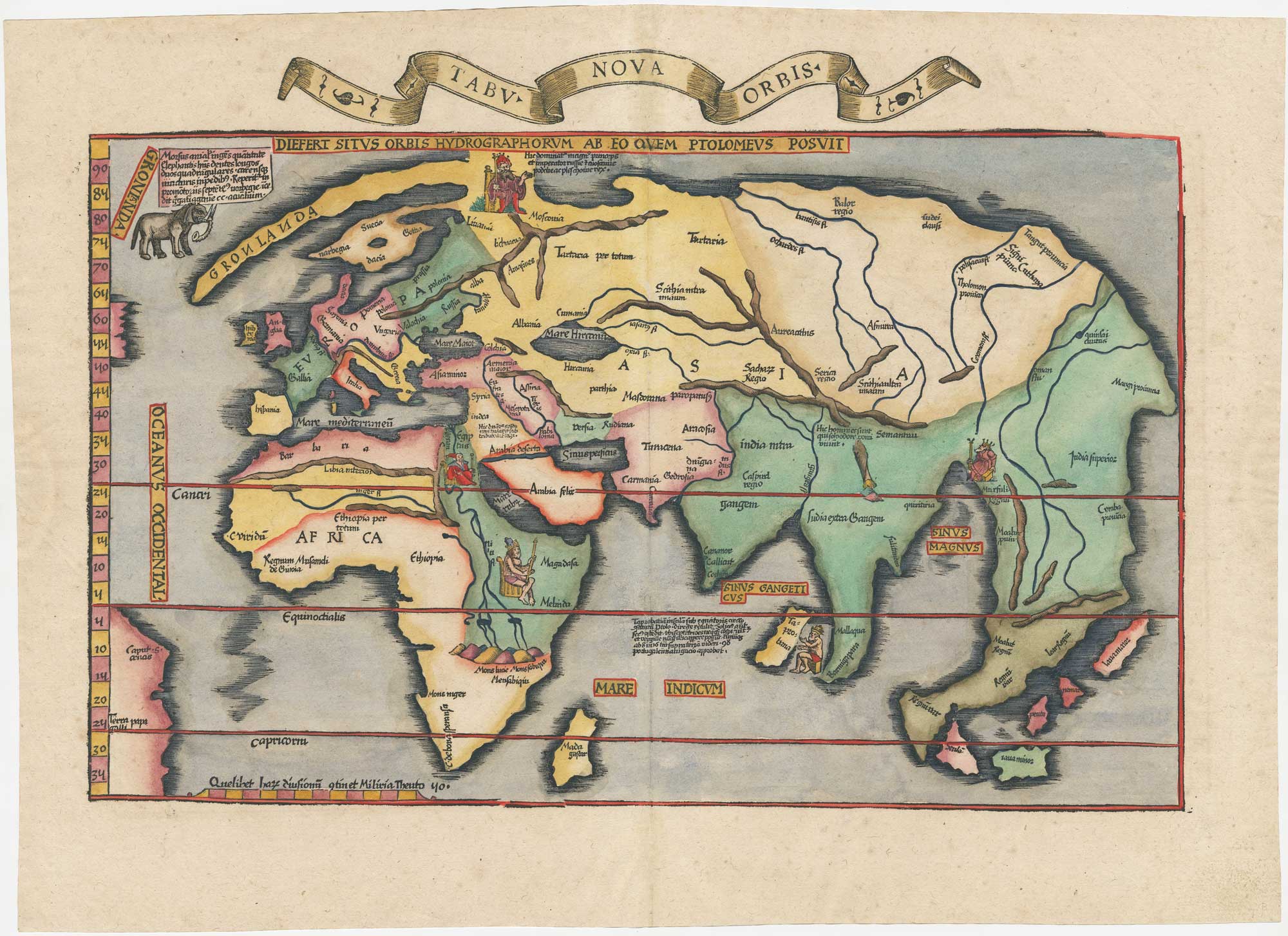
A fine example of Fries' modern world map
WALDSEEMULLER, Martin. Date: 1535 Stock #: 26564 £4,700.00
Add to Wishlist
Add to Wishlist
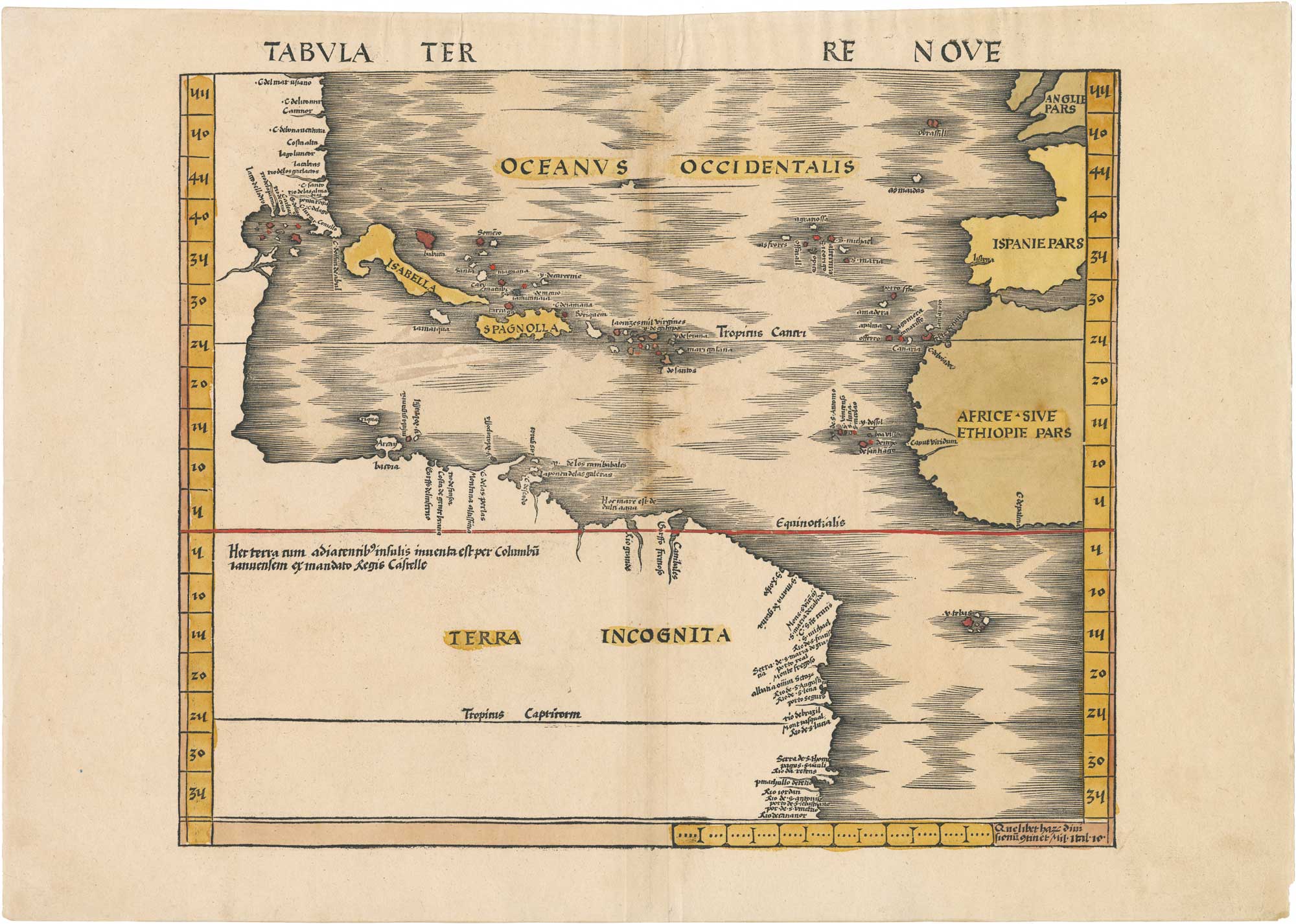
Tabula Terre Nove: Waldseemüller's 1513 Map of America (The Admiral's Map)
WALDSEEMULLER, Martin. Date: 1513 Stock #: 26451 £60,000.00
Add to Wishlist
Add to Wishlist
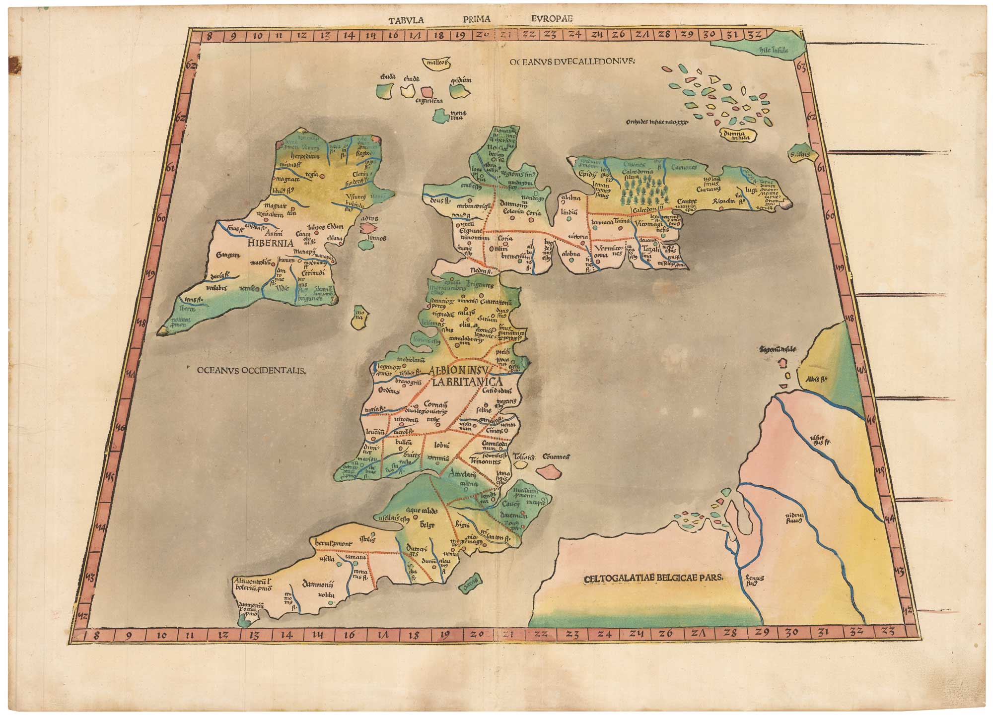
Waldseemuller's 1513 map of the British Isles after Ptolemy in contemporary colour
WALDSEEMULLER, Martin. Date: 1513 Stock #: 26141 £16,000.00
Add to Wishlist
Add to Wishlist
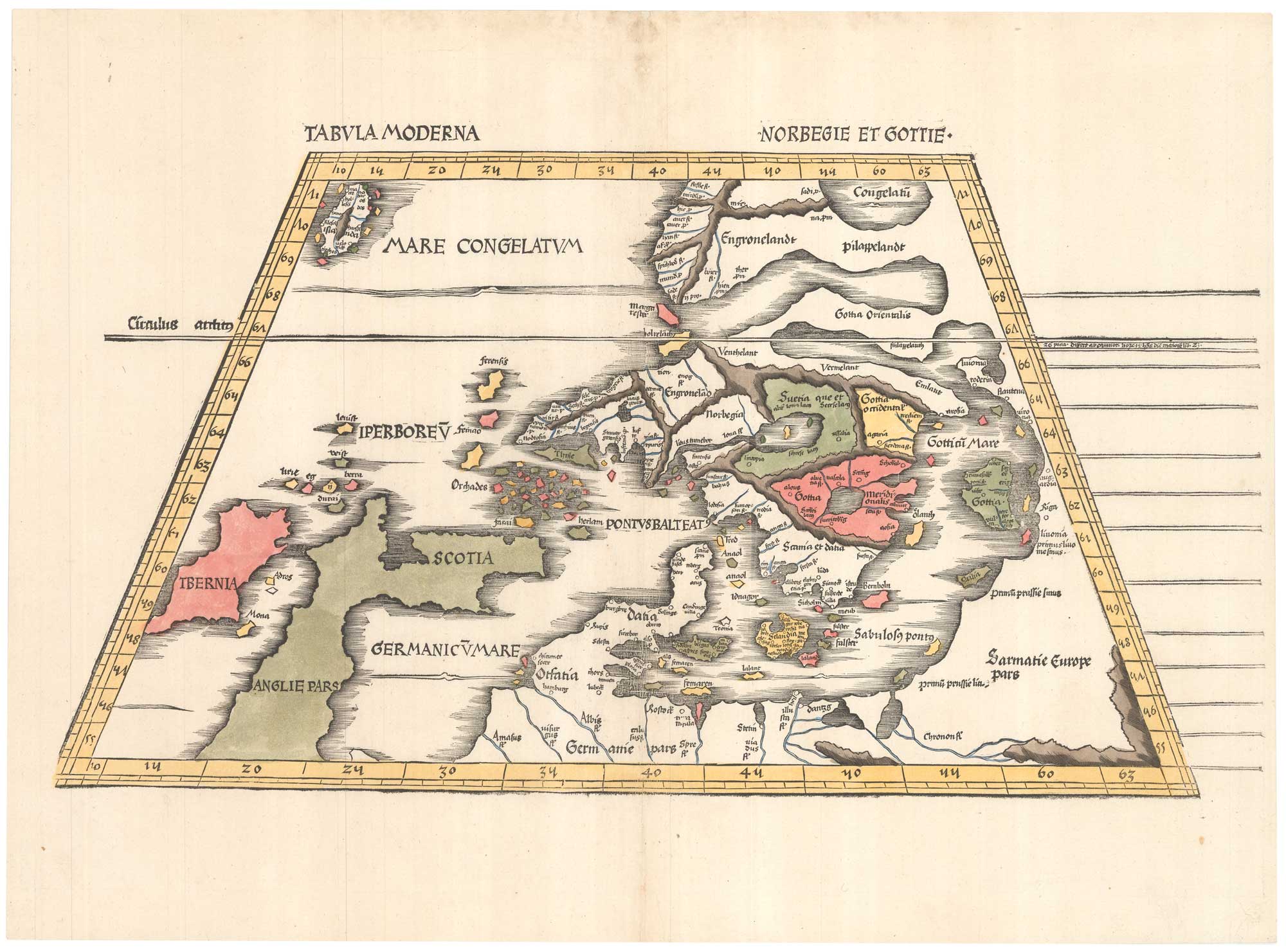
Early 16th century map of modern Scandinavia
WALDSEEMULLER, Martin. Date: 1520 Stock #: 26142 £6,500.00
Add to Wishlist
Add to Wishlist
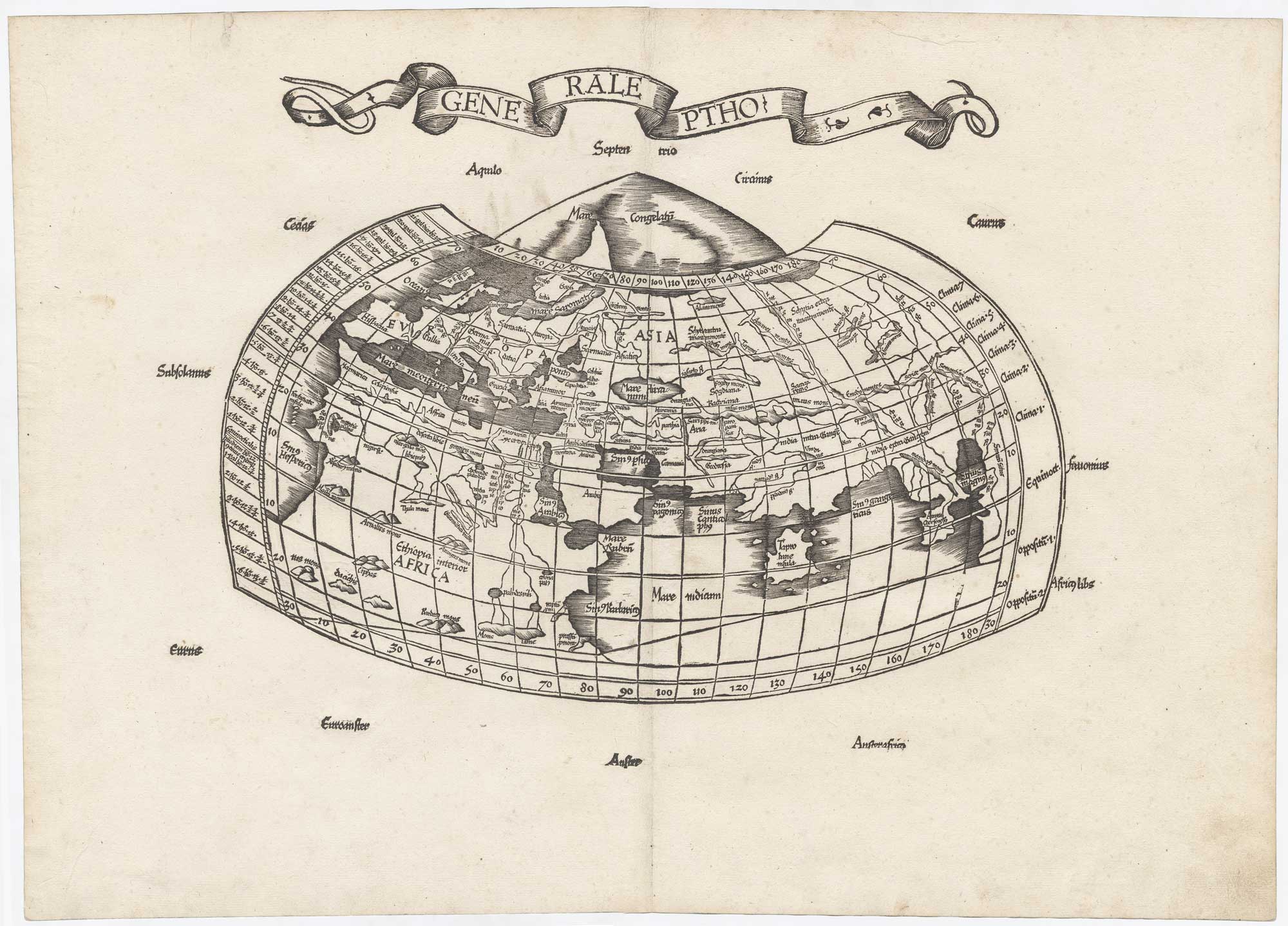
The very rare first issue of the Wäldseemüller/Fries Ptolemaic world
WALDSEEMULLER, Martin. Date: 1522 Stock #: 25741 £5,500.00
Add to Wishlist
Add to Wishlist
![[Ta. Superioris Indiae.] by WALDSEEMULLER, Martin., 1535.](https://altea-gallery-cdn.s3.eu-west-2.amazonaws.com/wp-content/uploads/2025/07/03135807/alteashop_25745.jpg)