Showing 1–18 of 18 products
Sort by:
Add to Wishlist
Add to Wishlist
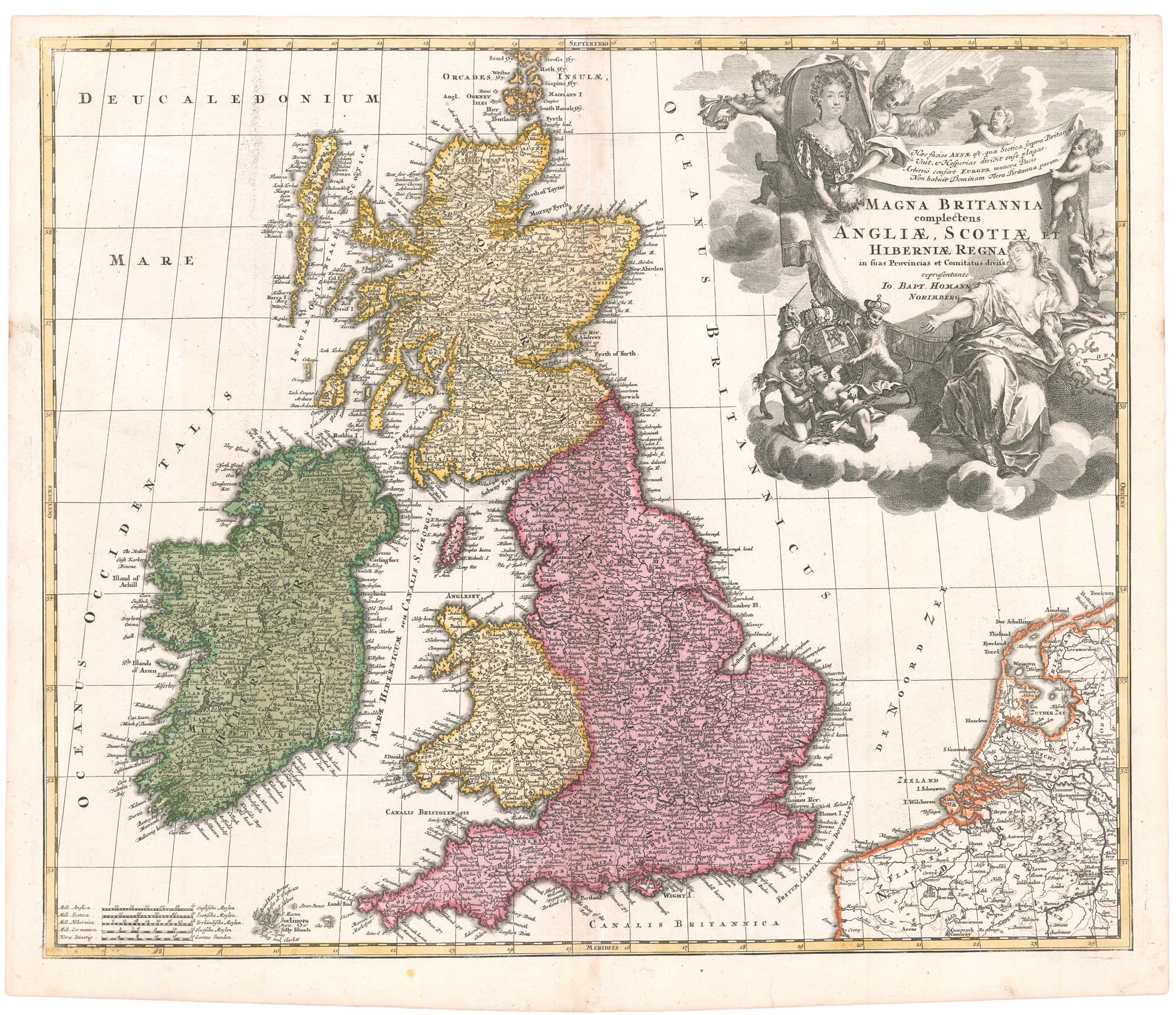
An early 18th century map of the British Isles, with a portrait of Queen Anne
HOMANN, Johann Baptist. Date: 1707 Stock #: 26457 £350.00
Add to Wishlist
Add to Wishlist

A 17th century map of England and Wales from a pocket atlas
JANSSON, Jan. Date: 1630 Stock #: 26662 £180.00
Add to Wishlist
Add to Wishlist

Add to Wishlist
Add to Wishlist
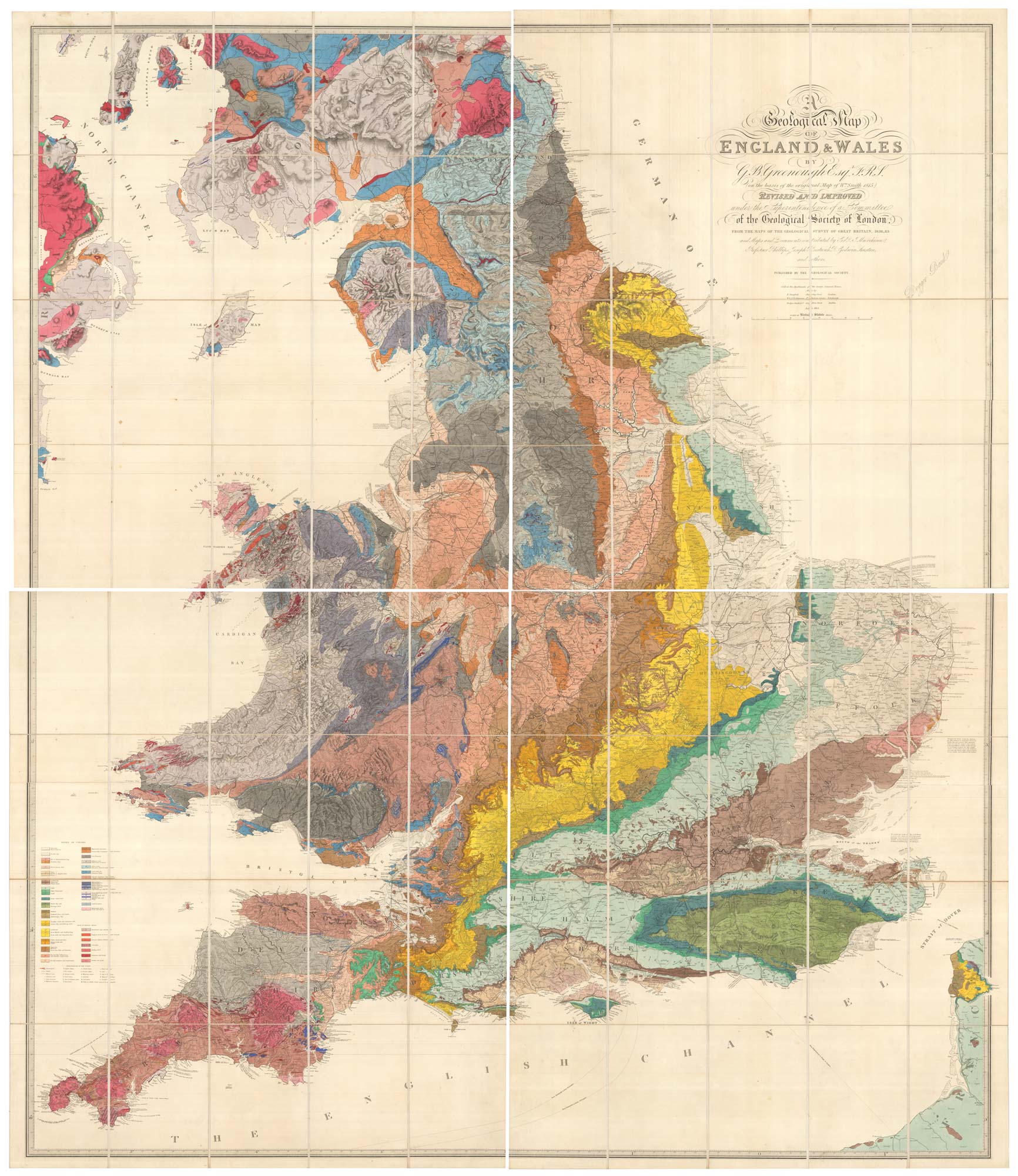
A revised edition of an important geological map of England and Wales
GREENOUGH, George Bellas. Date: 1820 Stock #: 26103 £14,000.00
Add to Wishlist
Add to Wishlist
Add to Wishlist
Add to Wishlist
Add to Wishlist
Add to Wishlist
Add to Wishlist
Add to Wishlist
Add to Wishlist
Add to Wishlist
Add to Wishlist
Add to Wishlist
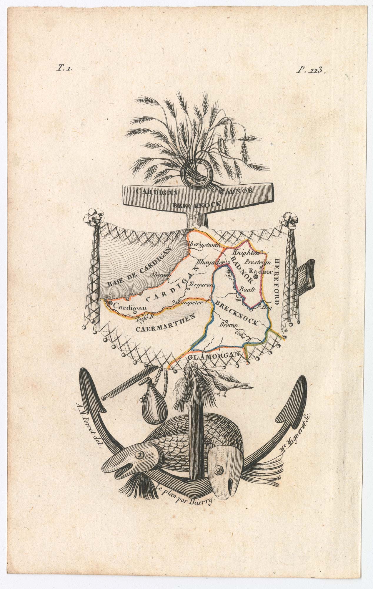
Miniature map of Cardiganshire, Randorshire and Brecknockshire
PERROT, Aristide Michel. Date: 1828 Stock #: 23106 £75.00
Add to Wishlist
Add to Wishlist
Add to Wishlist
Add to Wishlist
Add to Wishlist
Add to Wishlist
Add to Wishlist
Add to Wishlist
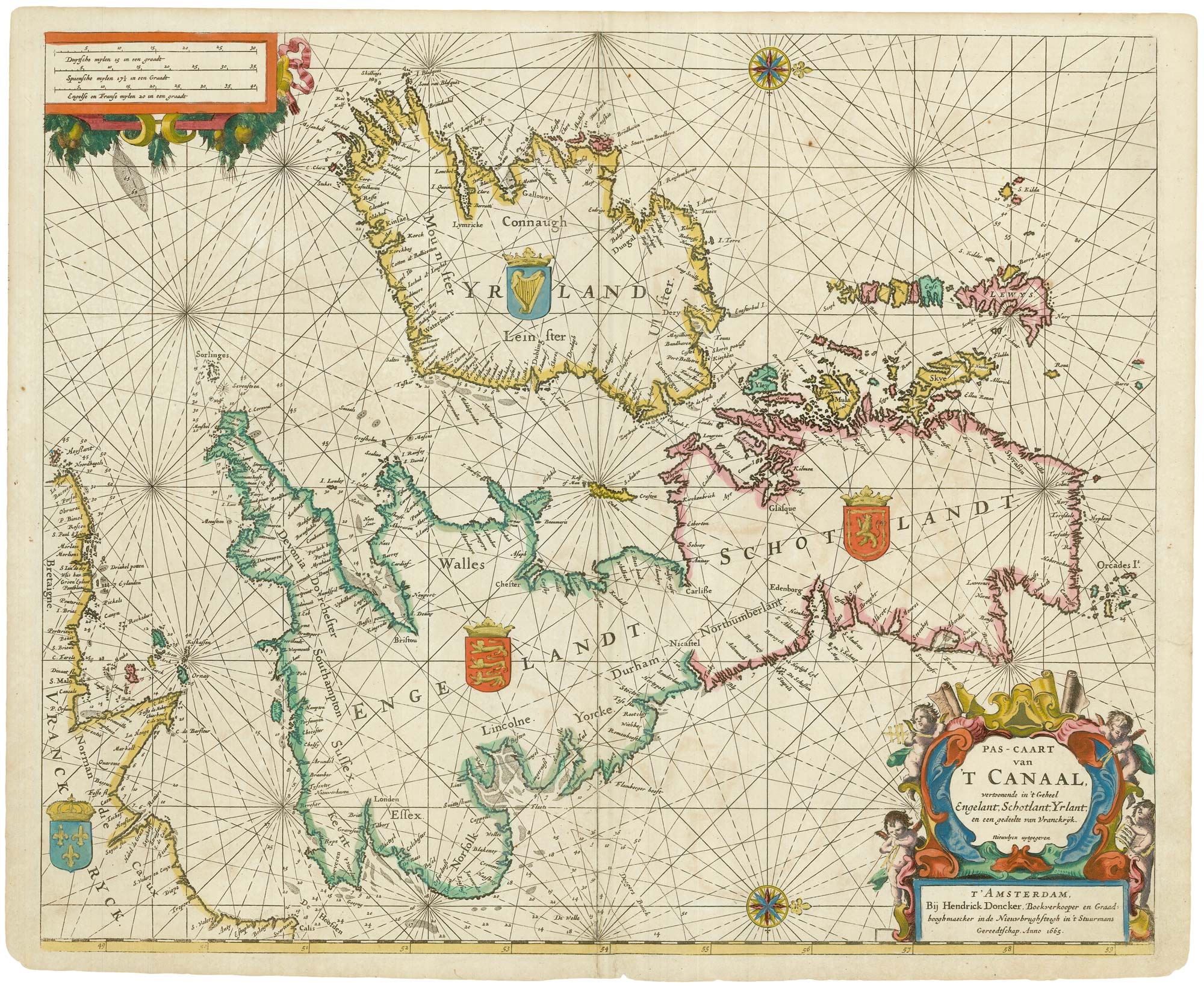
A rare 17th century Dutch sea chart of the British Isles
DONCKER, Hendrik. Date: 1665 Stock #: 22272 £1,400.00
Add to Wishlist
Add to Wishlist
Add to Wishlist
Add to Wishlist
Add to Wishlist
Add to Wishlist
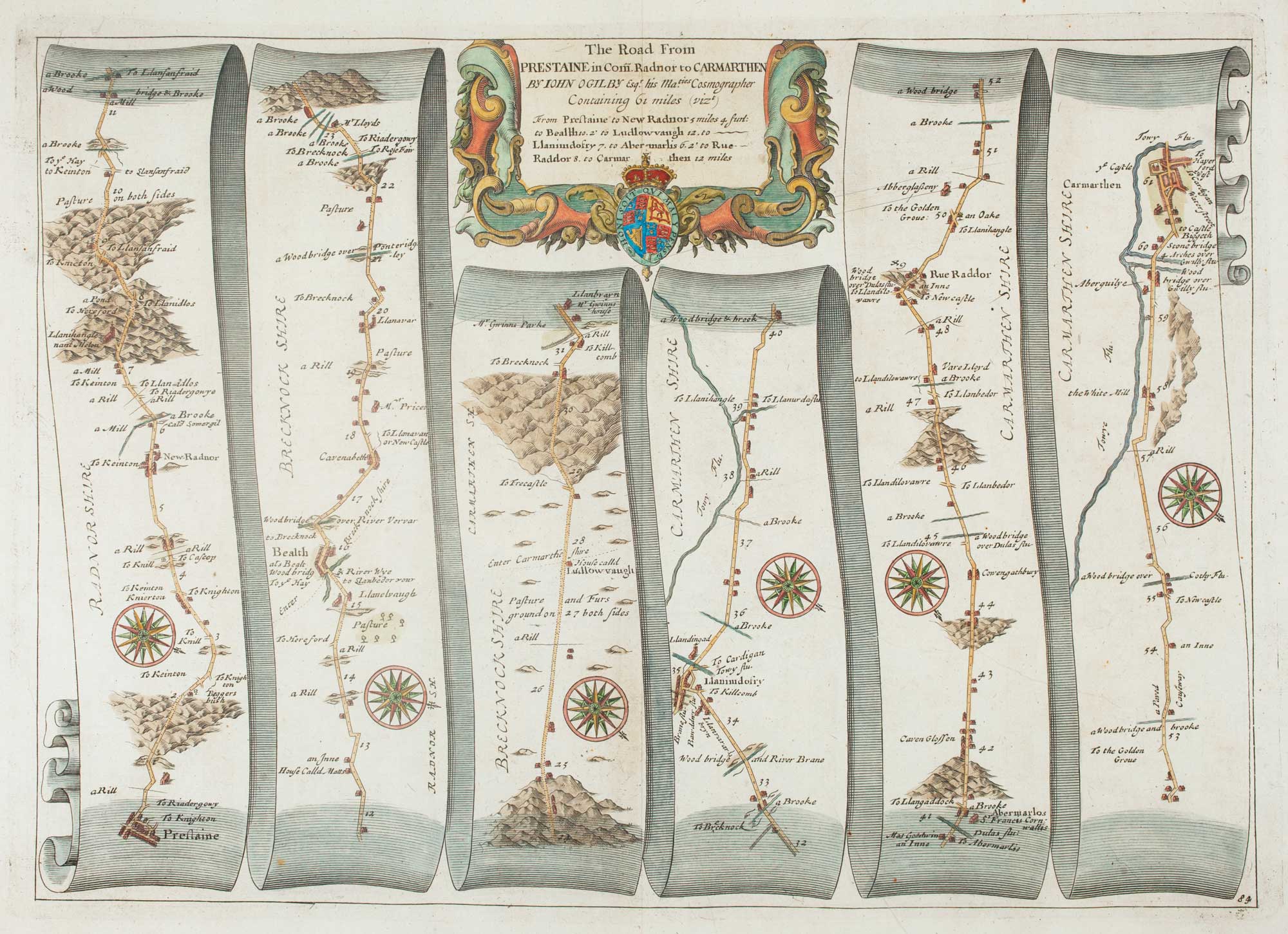
Early map of the roads from Presteigne to Carmarthen
OGILBY, John. Date: 1675 Stock #: 15372 £280.00
Add to Wishlist
Add to Wishlist