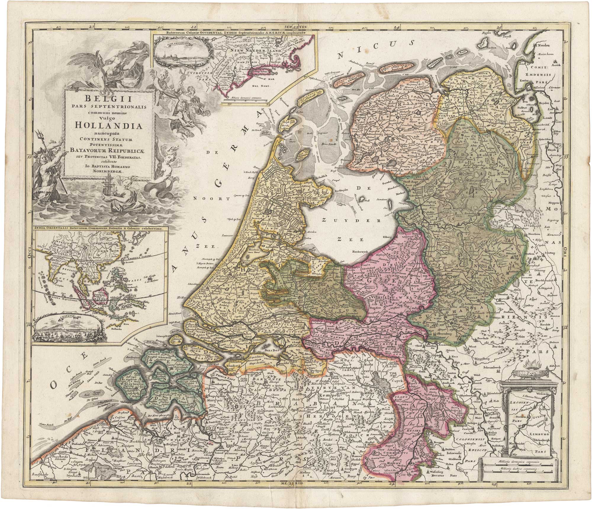


Map of Holland and its colonies with views of New York and Jakarta
Belgii Pars Septentrionalis communi nomine vulgo Hollandia nuncupata Continens Statum Potenentissimae Batavorum Reipublicae seu Provincias VII Foederatas.
Nuremberg: c.1710. Original hand colour. 490 x 570mm.
x
Question About This Item?
Map of Holland and its colonies with views of New York and Jakarta & HOMANN, Johann Baptist.Stock #: 26294"*" indicates required fields
Similar to Sell?
Add to Wishlist
Add to Wishlist
Description
Homann's map of Holland with inset maps of the Dutch colonies on the eastern seaboard of America and in the East Indies, with vignette views of New York City and Jakarta. The allegorical title cartouche represents Dutch mastery of the sea, adding to the celebration of the Dutch empire at its apogee.
Condition:
Minor printers crease to lower part.Related products
-

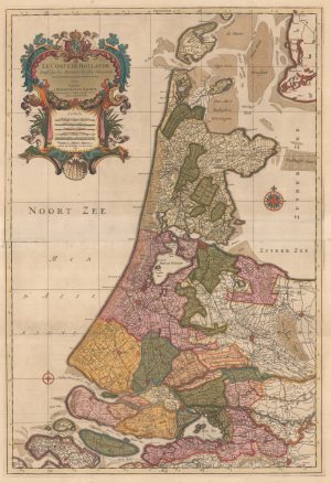
A two-sheet map of Holland in fine original colour
JAILLOT, Alexis-Hubert. Date: 1696Stock #: 22713 £1,100.00 -

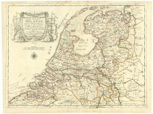
The Netherlands during the Anglo-Dutch War of 1672
DU VAL, Pierre. Date: 1672Stock #: 20503 £900.00 -

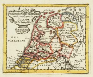
Miniature map of Holland
DU VAL, Pierre. Date: 1682Stock #: 10859 £140.00 -

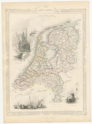
19th century map of Holland with vignettes
TALLIS, John. Date: 1851Stock #: 21563 £110.00 -

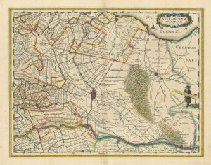
Blaeu’s 17th century map of Utrecht
BLAEU, Johannes. Date: 1635Stock #: 26420 £290.00 -

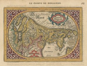
A 17th century map of the county of Holland from a pocket atlas
JANSSON, Jan. Date: 1630Stock #: 26669 £325.00 -

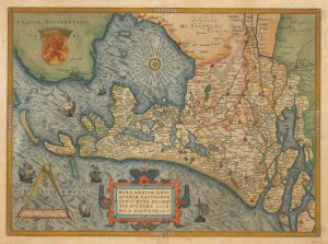
16th century Dutch map of the county of Holland
ORTELIUS, Abraham. Date: 1573Stock #: 26458 £1,100.00 -

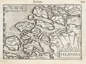
A 16th century miniature map of Zeeland
LANGENES, Barent. Date: 1599Stock #: 21159 £70.00 -
A 16th century miniature plan of a Roman fort
LANGENES, Barent. Date: 1599Stock #: 21306 £290.00
![[Brittenburg] tHuys te Britten. by LANGENES, Barent., 1599.](https://altea-gallery-cdn.s3.eu-west-2.amazonaws.com/wp-content/uploads/2025/05/10125314/alteashop_21306-300x225.jpg)
Items by the same author
Add to Wishlist
Add to Wishlist

Add to Wishlist
Add to Wishlist
Add to Wishlist
Add to Wishlist
Add to Wishlist
Add to Wishlist
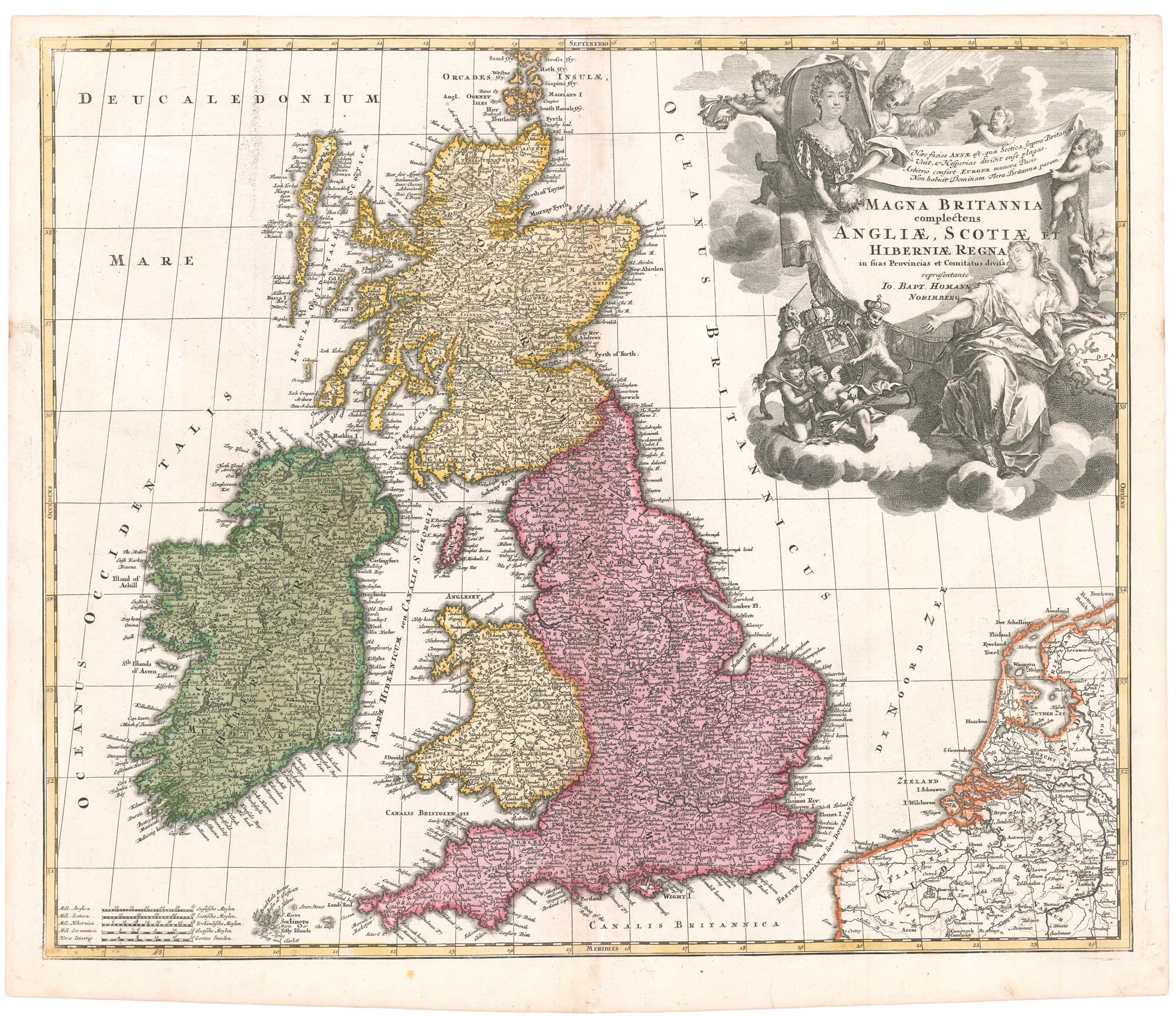
An early 18th century map of the British Isles, with a portrait of Queen Anne
HOMANN, Johann Baptist. Date: 1707 Stock #: 26457 £350.00
Add to Wishlist
Add to Wishlist
Add to Wishlist
Add to Wishlist