

18th century English map of Greece
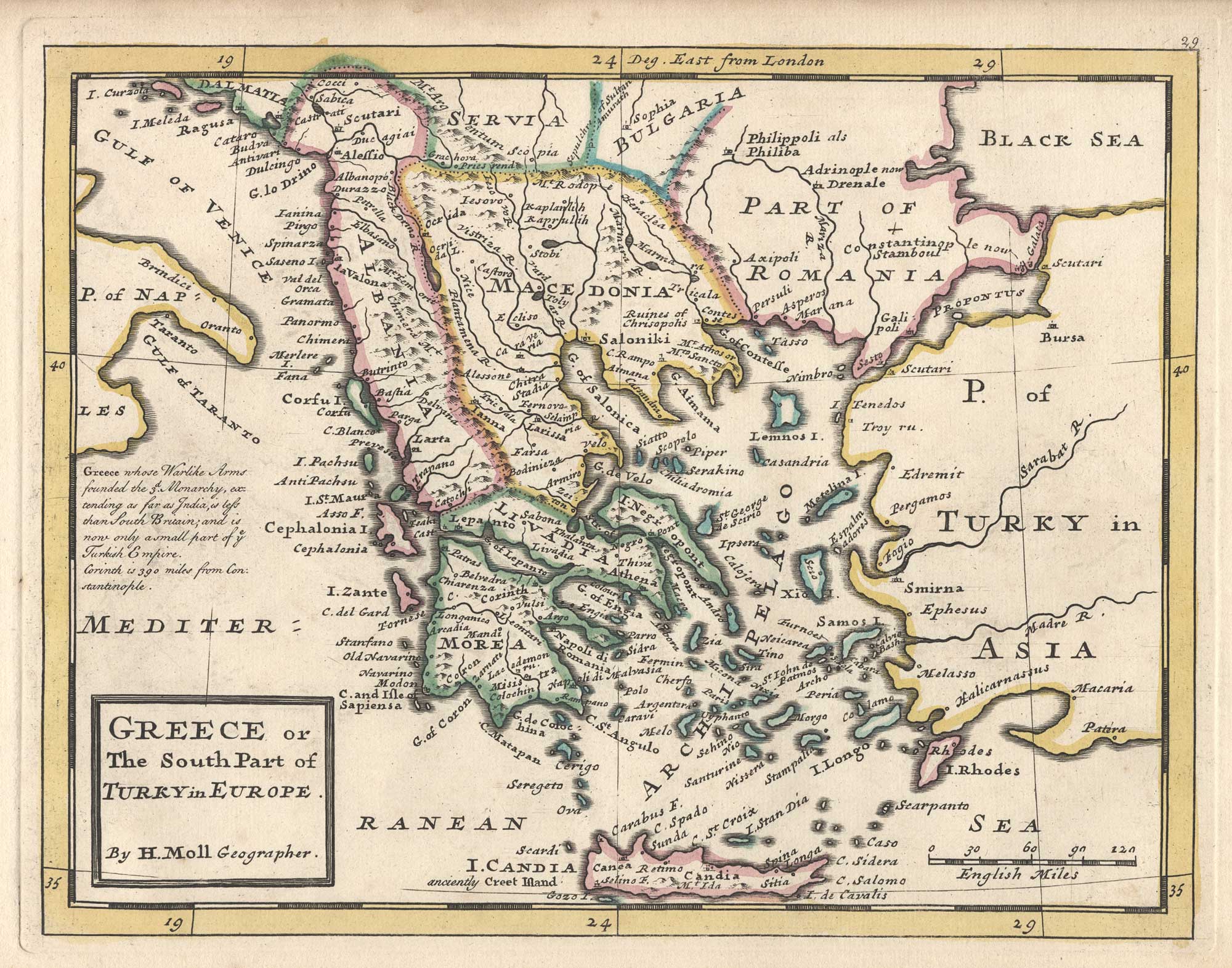
Greece or The South Part of Turkey in Europe.
London: Thomas Bowles and John Bowles, 1732. Fine original outline colour. 215 x 270mm.
x
Question About This Item?
18th century English map of Greece & MOLL, Herman.Stock #: 25868"*" indicates required fields
Similar to Sell?
Add to Wishlist
Add to Wishlist
Description
A map of Greece, Albania and Macedonia, with Crete and the Aegean.
Moll first published his 'Atlas Minor' in 1729 but, shortly after his death in 1732, Thomas Bowles and his son John reissued it with plate numbers added.
Condition:
A good example.Related products
-

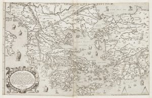
One of the earliest versions of Sophianos’s map of Greece
BERTELLI, Ferrando Date: 1564Stock #: 24220 £12,000.00 -

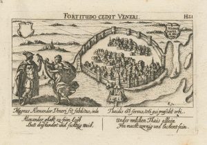
An unusual 17th century prospect of Chalkis
MEISNER, Daniel. Date: 1640Stock #: 24687 £180.00 -

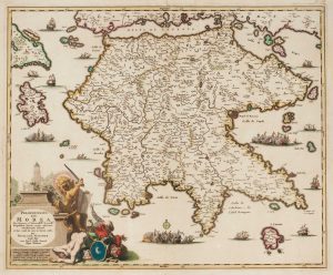
Morea during Venetian rule
VISSCHER, Nicolas Jansz. Date: 1698Stock #: 15291 £650.00 -

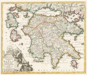
Detailed 18th century map of the Morea
SEUTTER, Matthaus. Date: 1725Stock #: 17038 £350.00 -

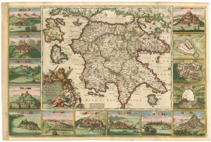
The Morea in fine original colour, surrounded by prospects of towns
DE WIT, Frederick. Date: 1685Stock #: 21953 £4,500.00 -

A scarce 18th century map of Greece and the Aegean
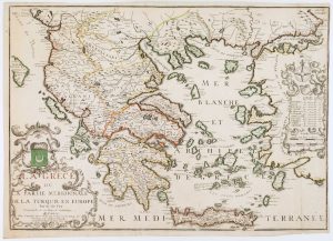
FER, Nicolas de. Date: 1715Stock #: 16833 £1,250.00 -

A scarce 17th century map of Greece
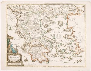
BEREY, Nicolas. Date: 1663Stock #: 16597 £2,200.00 -

A 16th century map of the Morea
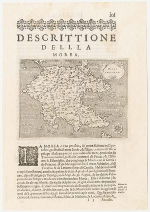
PORCACCHI, Tomaso. Date: 1590Stock #: 23215 £120.00 -

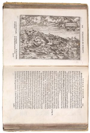
A 16th century pilgrimage to Jerusalem
ZUALLART, Jean. Date: 1595Stock #: 23825 £3,200.00
Items by the same author
Add to Wishlist
Add to Wishlist
Add to Wishlist
Add to Wishlist
Add to Wishlist
Add to Wishlist
Add to Wishlist
Add to Wishlist

18th century English map of south east Germany and Austria
MOLL, Herman. Date: 1732 Stock #: 25886 £85.00
Add to Wishlist
Add to Wishlist
Add to Wishlist
Add to Wishlist