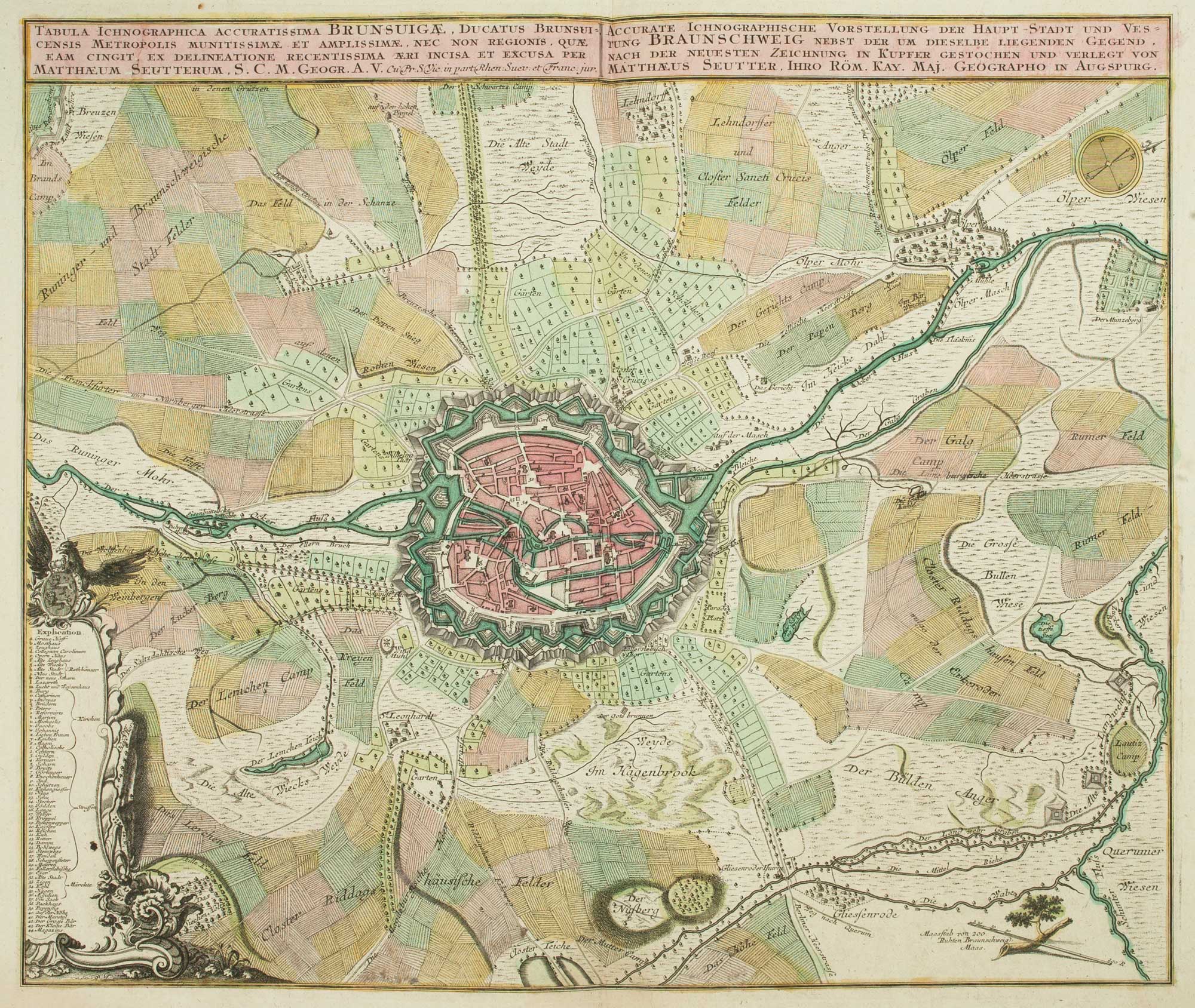


18th century map of Brunswick and its environs
Tabula Ichnographica Accuratissima Brunsuigae, ducatus Brunsuicensis Metropolis Munitissimae et Amplissimae, Nec Non Regionis, Quae Eam Cingit.
Augsburg, c. 1735. Original colour. 500 x 580mm
£260.00
1 in stock
x
Question About This Item?
18th century map of Brunswick and its environs & SEUTTER, Matthaus.Stock #: 9404"*" indicates required fields
Similar to Sell?
Add to Wishlist
Add to Wishlist
Description
An plan of Brunswick highlighting the defensive walls, with the surrounding countryside, with a rococo cartouche at the bottom left hand side with a key to all locations marked on the town plan.
Condition:
A good example.Related products
-

18th century English map of south west Germany
MOLL, Herman. Date: 1732Stock #: 25884 £85.00 -
![VIIII Germania. [&] Centro I. Germania. [&] Centro 4. Germania by Anonymous., 1790.](data:image/svg+xml,%3Csvg%20xmlns='http://www.w3.org/2000/svg'%20viewBox='0%200%20300%20552'%3E%3C/svg%3E)
Four scarce Italian playing cards depicting Germany
Anonymous. Date: 1790Stock #: 24244 £280.00 -

A separate issue map of Germany after Gastaldi
DUCHETTI, Claudio. Date: 1602Stock #: 25250 £4,500.00 -

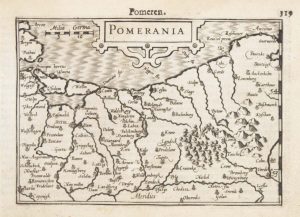
A 16th century miniature map of Pomerania
LANGENES, Barent. Date: 1599Stock #: 21175 £65.00 -

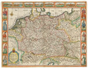
Germany from the first English atlas of the World
SPEED, John. Date: 1665Stock #: 23993 £1,400.00 -
![Pictorial map of Germany - Germany. by ALEPH [HARVEY, William]., 1869 – Altea Gallery](data:image/svg+xml,%3Csvg%20xmlns='http://www.w3.org/2000/svg'%20viewBox='0%200%20300%20350'%3E%3C/svg%3E)
Pictorial map of Germany
ALEPH [HARVEY, William]. Date: 1869Stock #: 17241 £450.00 -

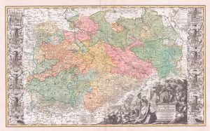
A scarce large-format map of Saxony in the 18th century
ZOLLMAN, Friedrich. Date: 1731Stock #: 17714 £1,800.00 -

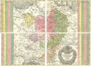
Rare four-sheet wall map of the Prince-Provostry of Ellwangen
FRIEDRICH PRAHL, Arnold. Date: 1746Stock #: 25685 £2,800.00 -
18th century English map of north east Germany
MOLL, Herman. Date: 1732Stock #: 25885 £85.00
![VIIII Germania. [&] Centro I. Germania. [&] Centro 4. Germania by Anonymous., 1790.](https://altea-gallery-cdn.s3.eu-west-2.amazonaws.com/wp-content/uploads/2025/05/17114900/alteashop_24244-300x552.jpg)
![Pictorial map of Germany - Germany. by ALEPH [HARVEY, William]., 1869 – Altea Gallery](https://altea-gallery-cdn.s3.eu-west-2.amazonaws.com/wp-content/uploads/2025/05/08144750/alteashop_17241-300x350.jpg)

Items by the same author
Add to Wishlist
Add to Wishlist
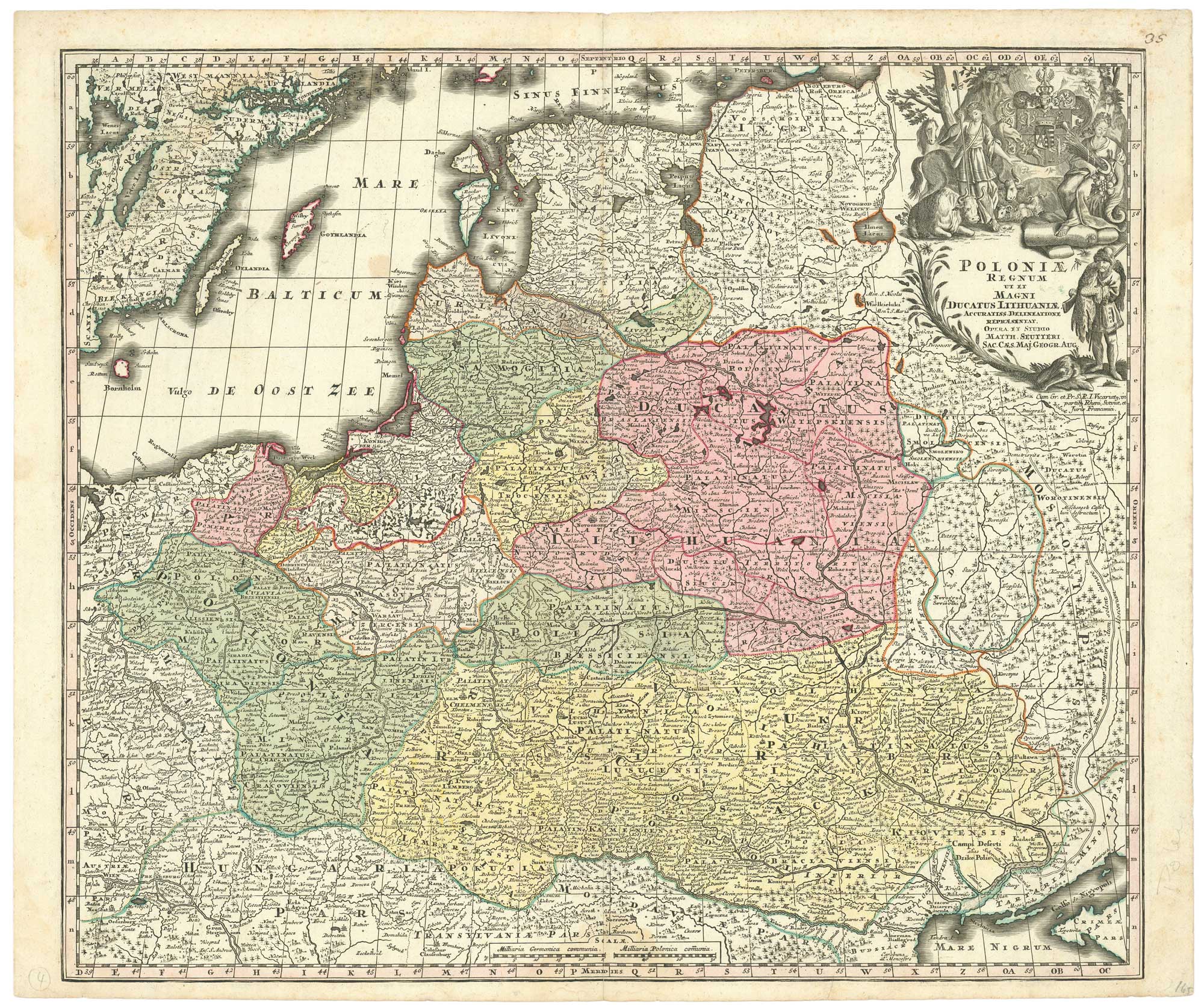
18th century map of the Polish-Lithuanian Commonwealth
SEUTTER, Matthaus. Date: 1735 Stock #: 26699 £475.00
Add to Wishlist
Add to Wishlist
Add to Wishlist
Add to Wishlist
Add to Wishlist
Add to Wishlist
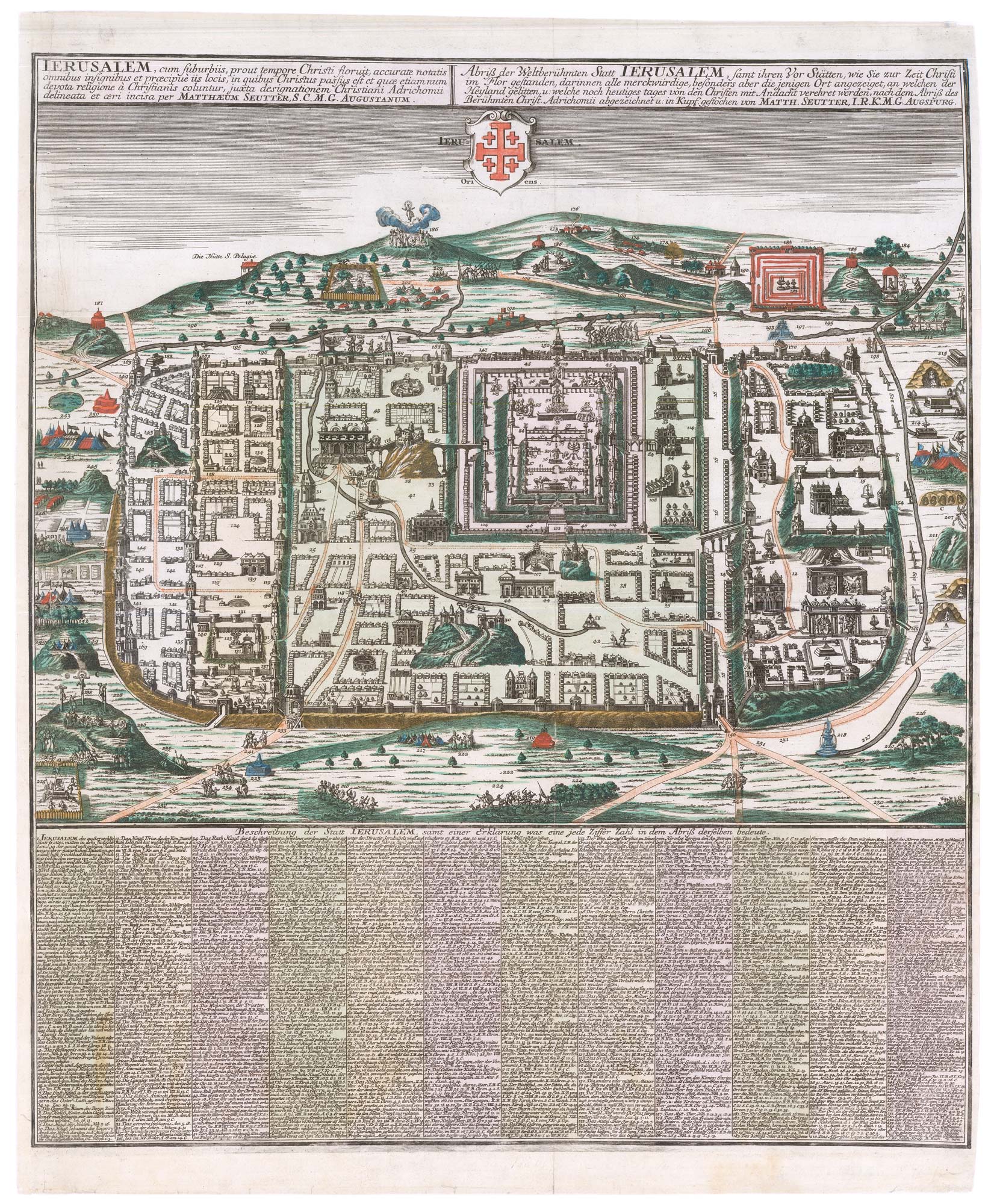
An 18th century plan of Jerusalem after Adrichom
SEUTTER, Matthaus. Date: 1730 Stock #: 26382 £1,100.00
Add to Wishlist
Add to Wishlist
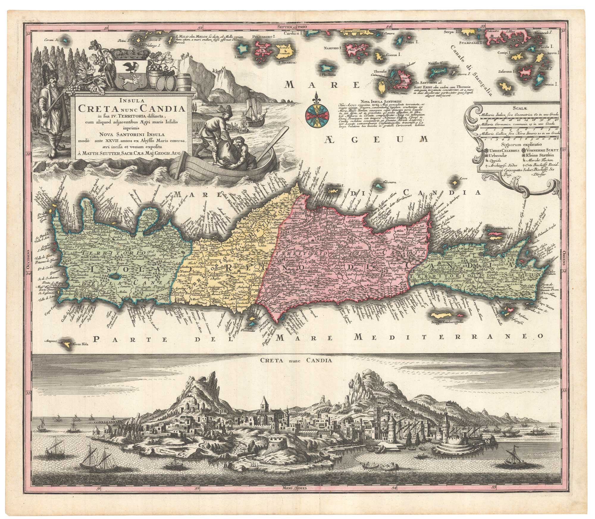
18th century map of Crete with a prospect of Heraklion
SEUTTER, Matthaus. Date: 1730 Stock #: 21896 £1,100.00
Add to Wishlist
Add to Wishlist