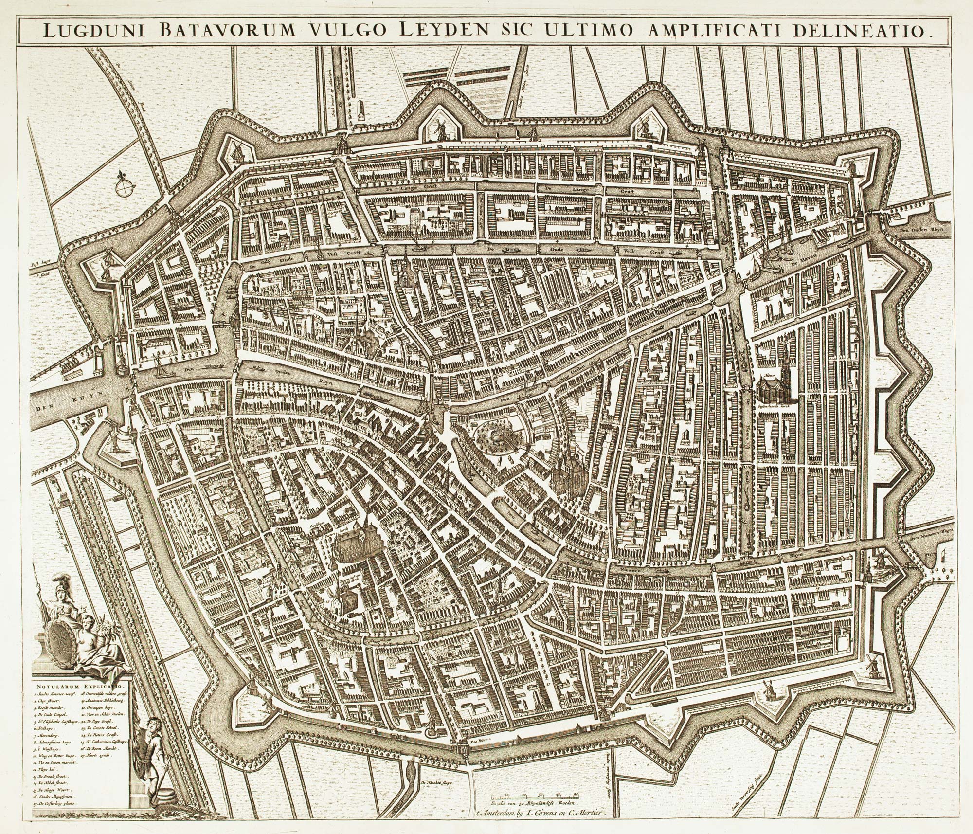
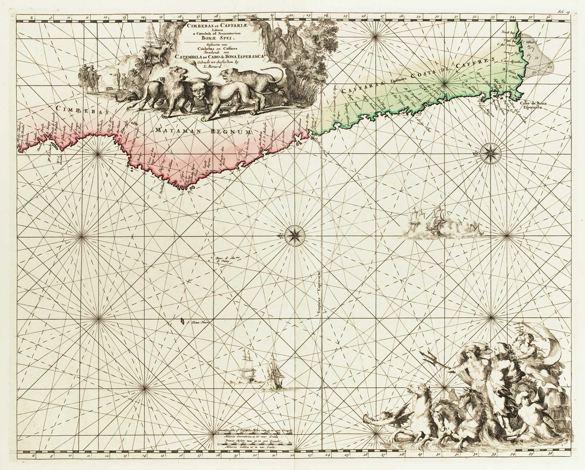
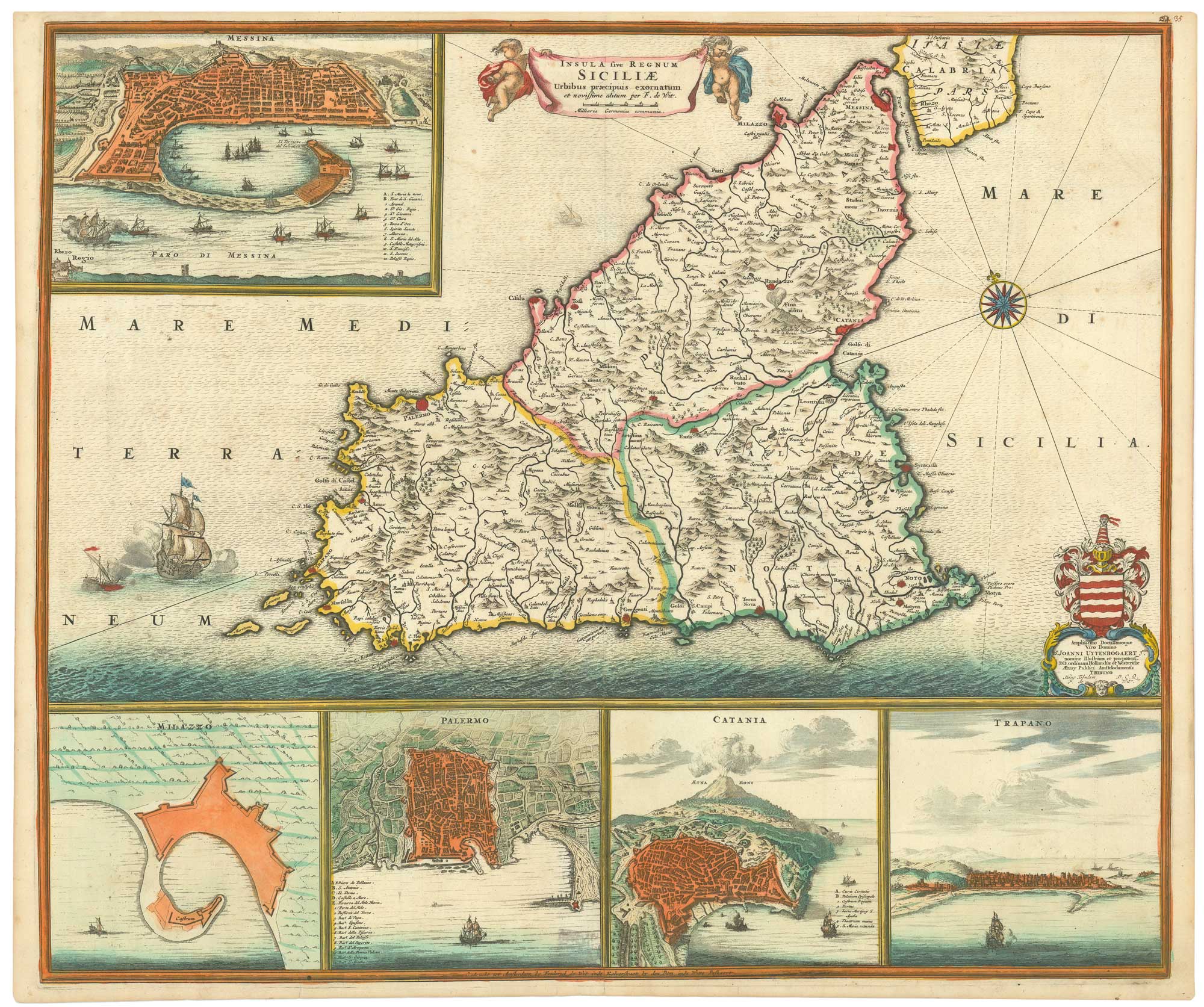
Antique Maps by DE WIT, Frederick.
Frederick de Wit (c.1630–1706) was a Dutch cartographer, engraver and map publisher active in Amsterdam, and one of the most accomplished figures of the later Dutch Golden Age of cartography. He matters for sustaining the high technical and decorative standards of Amsterdam mapmaking into the late seventeenth century, producing influential maps for both the collector’s market and practical use.
De Wit built a substantial publishing house issuing separately published maps, town plans and sea charts, typically distinguished by crisp engraving and elaborate baroque cartouches. His work often synthesised the best available geographic intelligence of the period and was widely disseminated across Europe, contributing to the standard visual vocabulary of world and regional mapping.
He is best known for his atlas production, particularly the Atlas Maior, issued in varying compositions and languages, which gathered his maps into a coherent and prestigious reference work. Through these atlases, alongside an extensive output of individual sheets, de Wit’s imprint became a familiar mark of quality in late seventeenth-century Dutch cartography.
→ Explore more works by Frederick de Wit
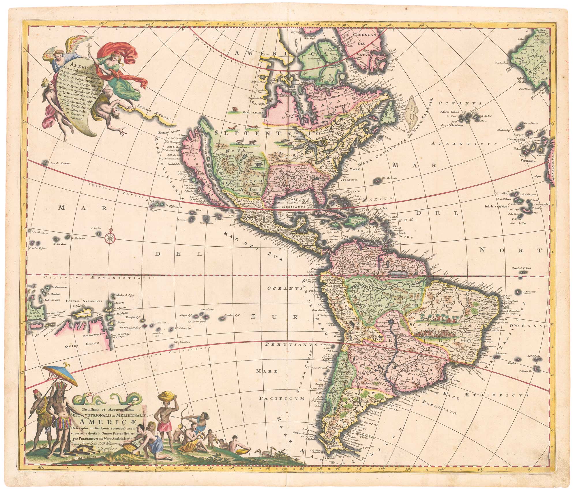
A 17th century map of the Americas in fine colour
DE WIT, Frederick. Date: 1695 Stock #: 26505 £1,800.00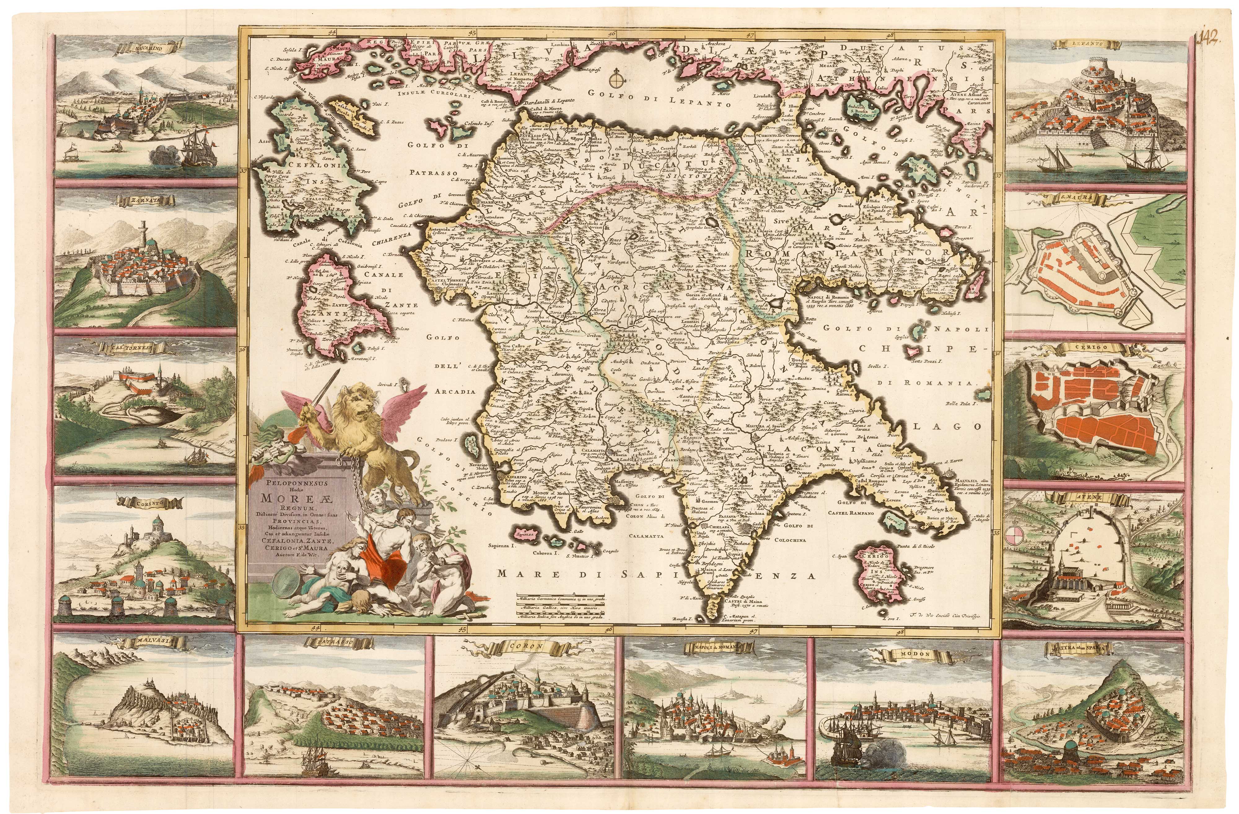
A superb map of Morea in fine original colour
DE WIT, Frederick. Date: 1685 Stock #: 22274 £4,000.00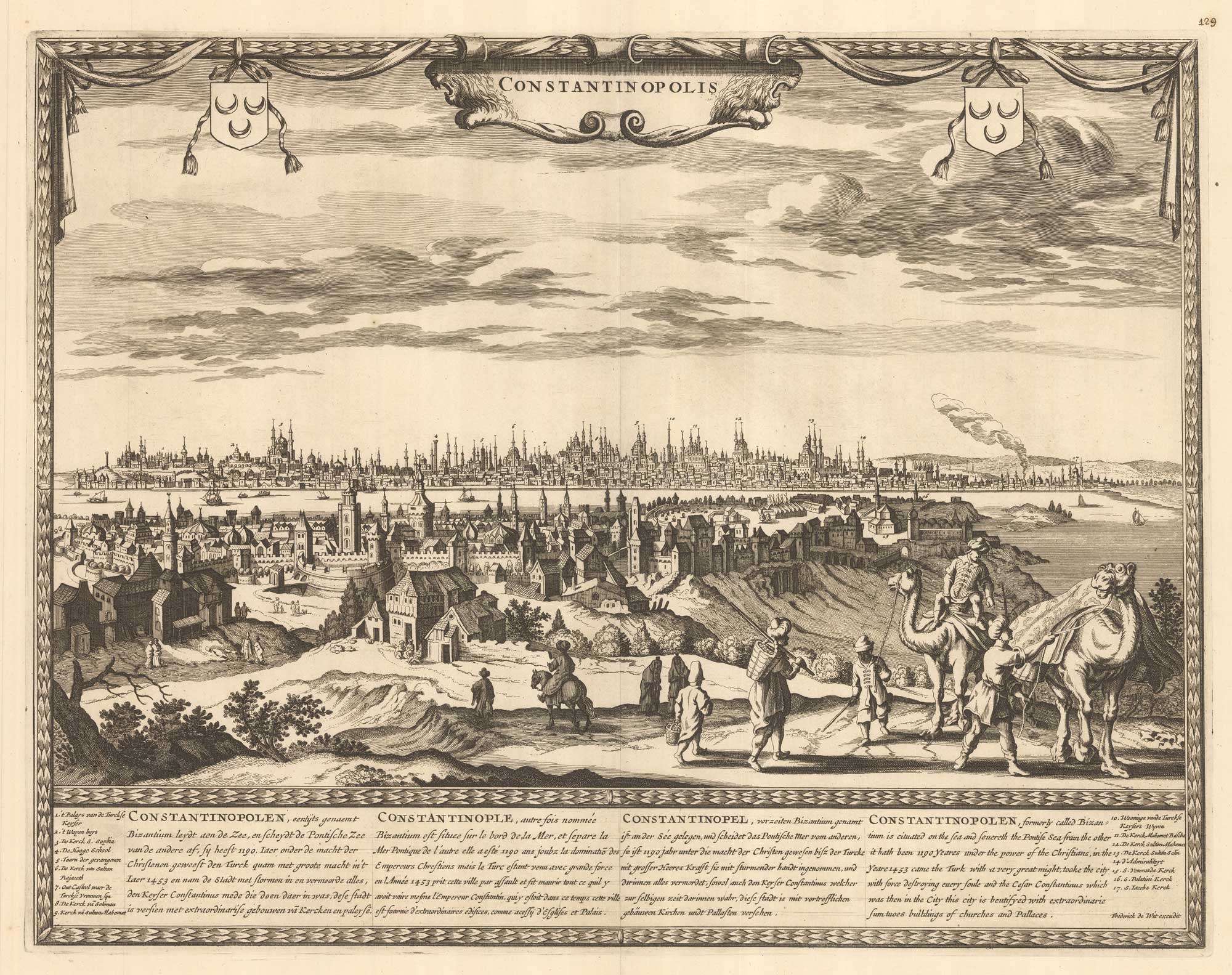
A scarce 17th century prospect of Constantinople
DE WIT, Frederick. Date: 1695 Stock #: 26110 £3,600.00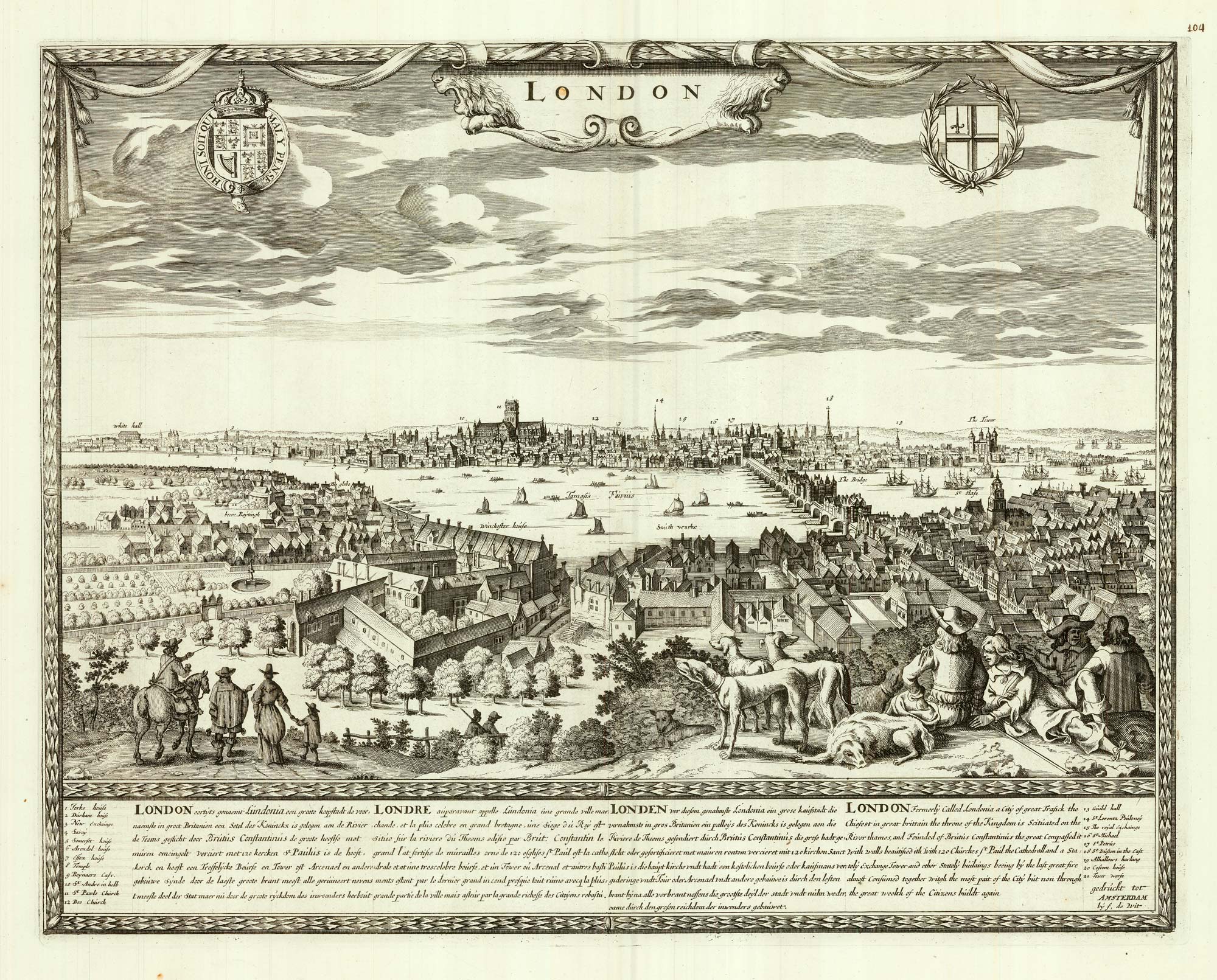

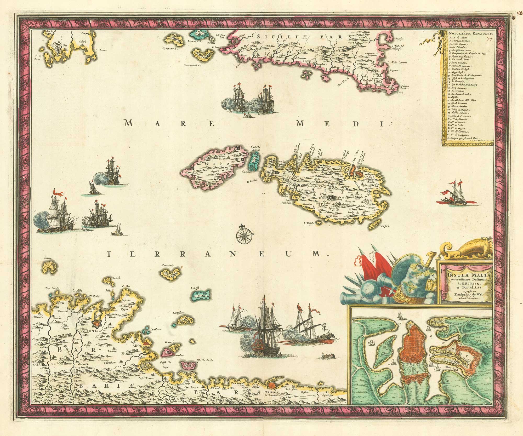
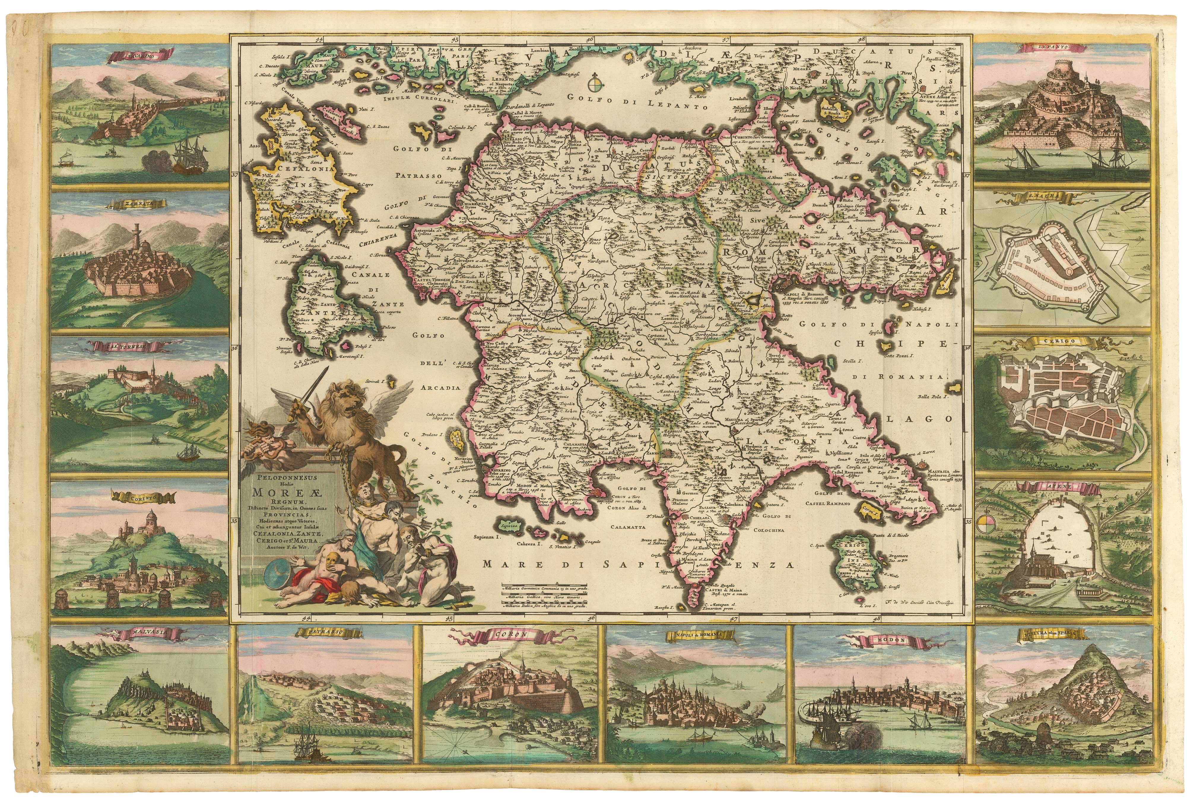
The Morea in fine original colour, surrounded by prospects of towns
DE WIT, Frederick. Date: 1685 Stock #: 21953 £4,500.00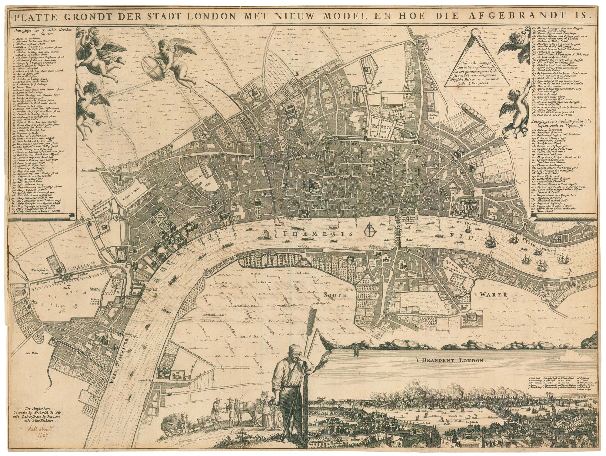
A rare broadsheet map of the Great Fire of London of 1666
DE WIT, Frederick. Date: 1666 Stock #: 24892 £7,500.00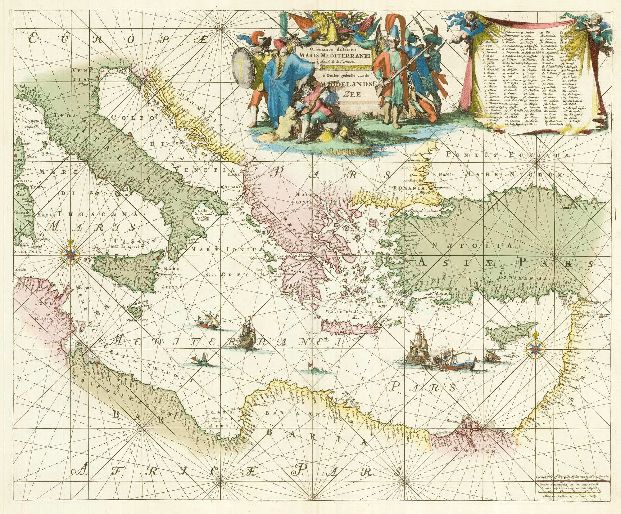
A 17th century chart of the eastern Mediterranean in fine colour.
DE WIT, Frederick. Date: 1745 Stock #: 24490 £1,600.00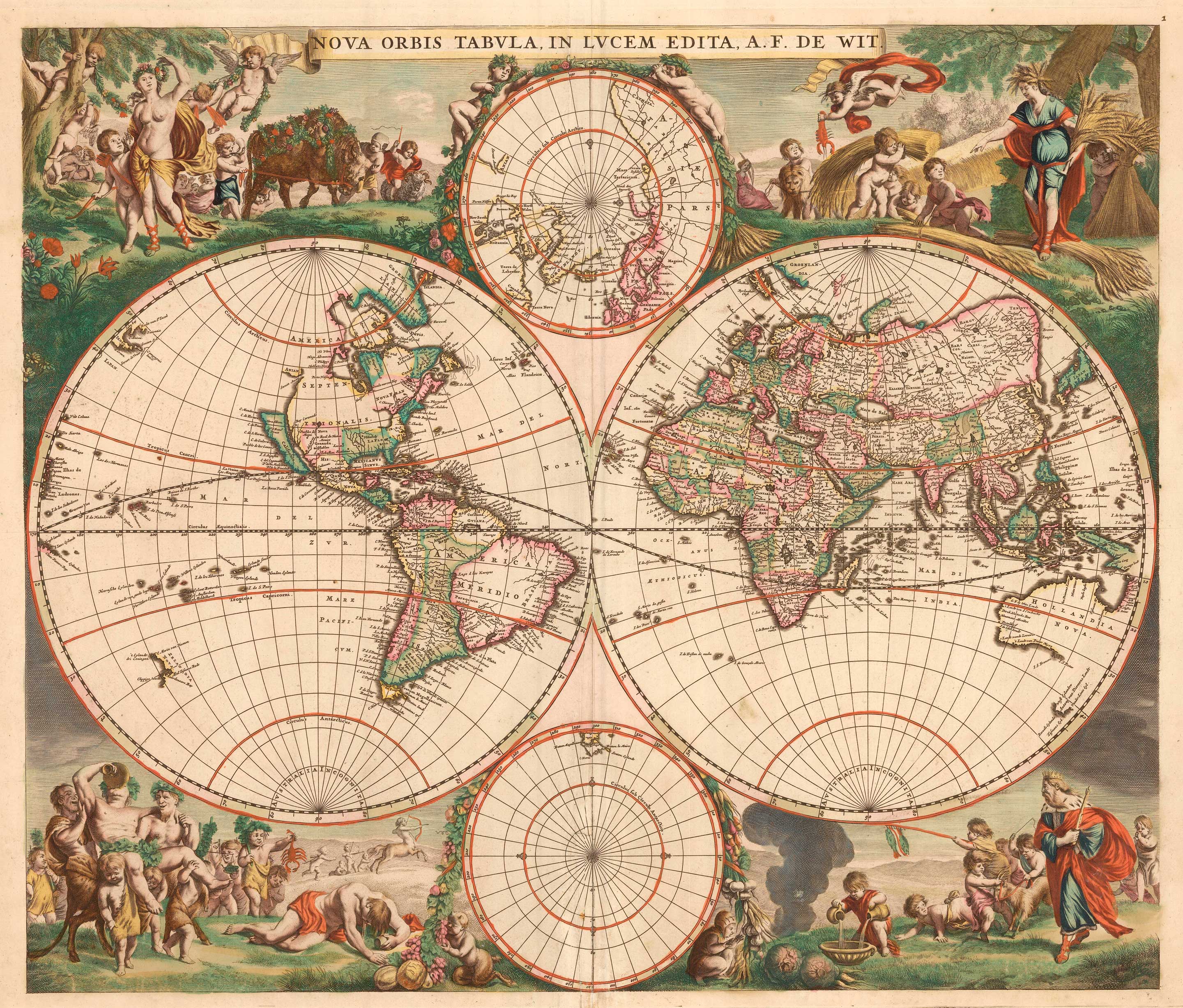
A 17th century Dutch World map with superb decorative borders
DE WIT, Frederick. Date: 1670 Stock #: 23590 £5,500.00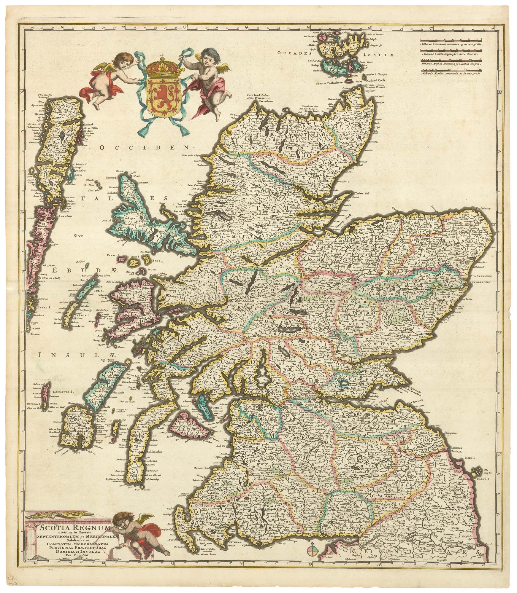


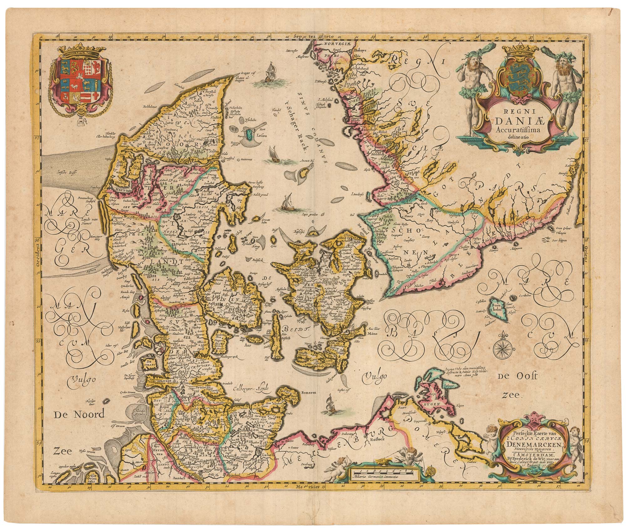
A separately-issued map of Denmark, the earliest dated map by de Wit
DE WIT, Frederick. Date: 1659 Stock #: 23255 £750.00