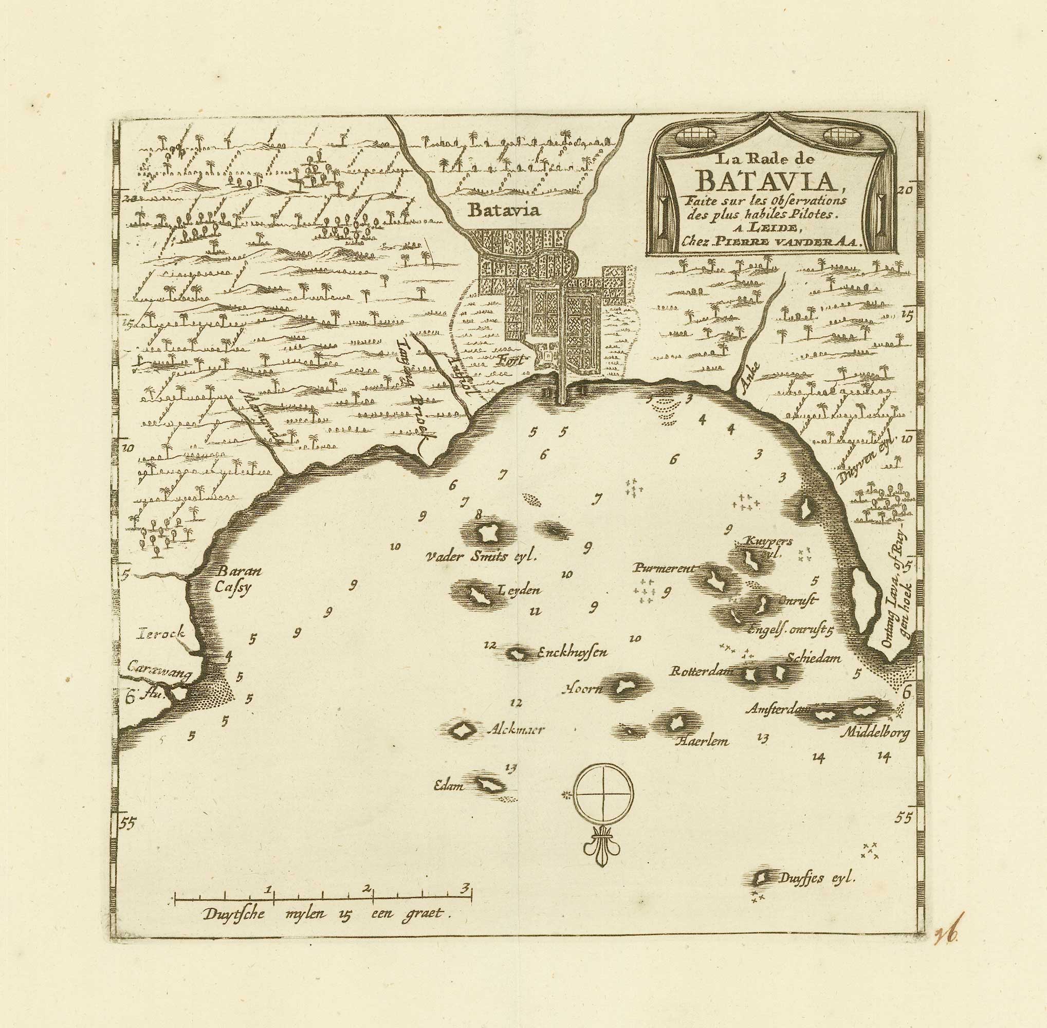


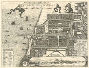
Early 18th century map of Batavia
La rade de Batavia
Leyden, c. 1725. 195 x 160mm, with wide margins.
£200.00
1 in stock
x
Question About This Item?
Early 18th century map of Batavia & AA, Pieter van der.Stock #: 20079"*" indicates required fields
Similar to Sell?
Add to Wishlist
Add to Wishlist
Description
Map of Batavia from the scarce 'La Galerie Agreable du Monde', which was published by van der AA in sixty-six parts.
Condition:
A good example.Related products
-

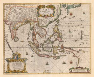
The most influential 16th century map of the Far East
GASTALDI, Giacomo. Date: 1562Stock #: 26112 Price on Application -

A French early 19th century sea chart of Indonesia & Singapore
DAUSSY, Pierre. Date: 1839Stock #: 18868 £1,250.00 -

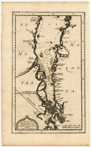
The Strait of Malacca & Singapore
AA, Pieter van der. Date: 1714Stock #: 23646 £475.00 -

One of the earliest sea charts to show any part of Australia
HONDIUS, Henricus. Date: 1646Stock #: 25081 £1,250.00 -

17th century plan of Batavia
MONTANUS, Arnoldus. Date: 1728Stock #: 24796 £400.00 -

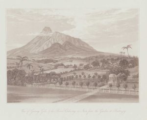
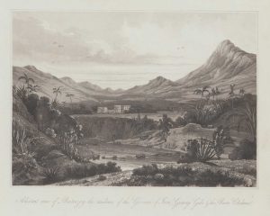
A view from Buitenzorg in Bogor, Java
DANIELL, William. Date: 1830Stock #: 20076 £150.00 -

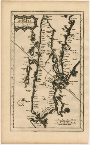
Map of Sumatra and the Malay Peninsula
AA, Pieter van der. Date: 1714Stock #: 23647 £425.00 -

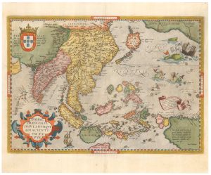
16th century map of the East Indies
ORTELIUS, Abraham. Date: 1595Stock #: 25779 £2,600.00 -

A view of Buitenzorg in Bogor, Java
DANIELL, William. Date: 1830Stock #: 20077 £150.00
Items by the same author
Add to Wishlist
Add to Wishlist
Add to Wishlist
Add to Wishlist
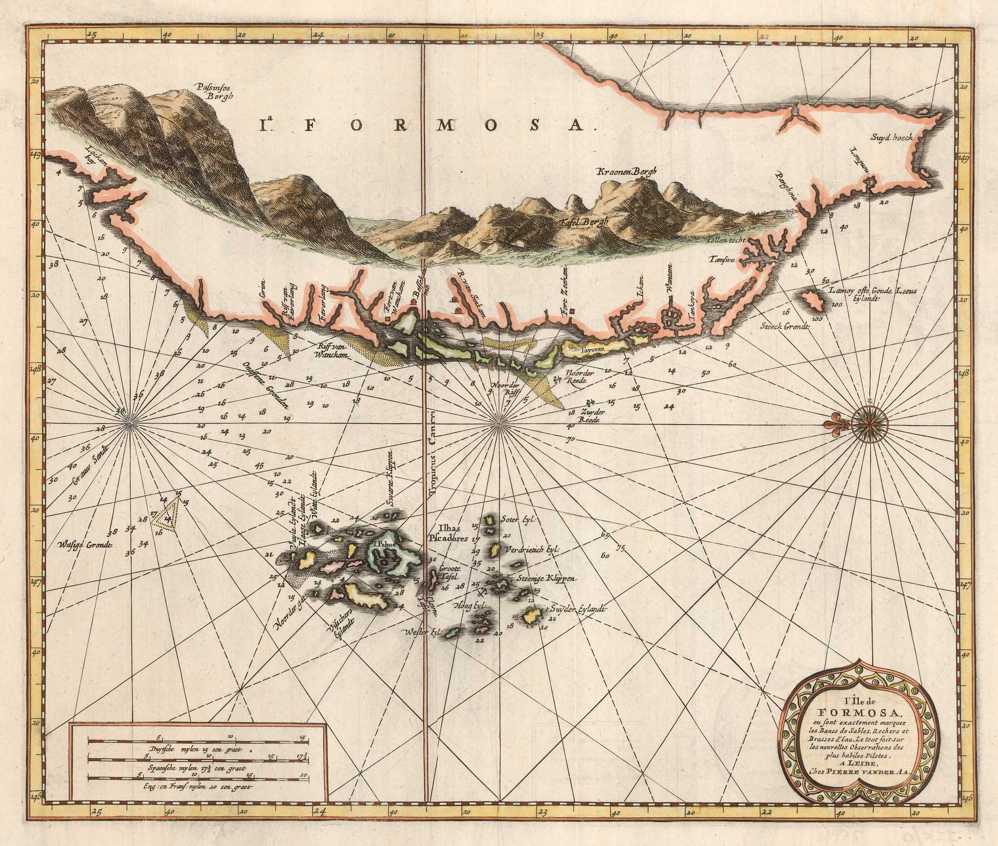
Scarce sea chart of Taiwan and the Pescadores
AA, Pieter van der. Date: 1713 Stock #: 25894 £1,250.00
Add to Wishlist
Add to Wishlist
Add to Wishlist
Add to Wishlist
Add to Wishlist
Add to Wishlist
Add to Wishlist
Add to Wishlist