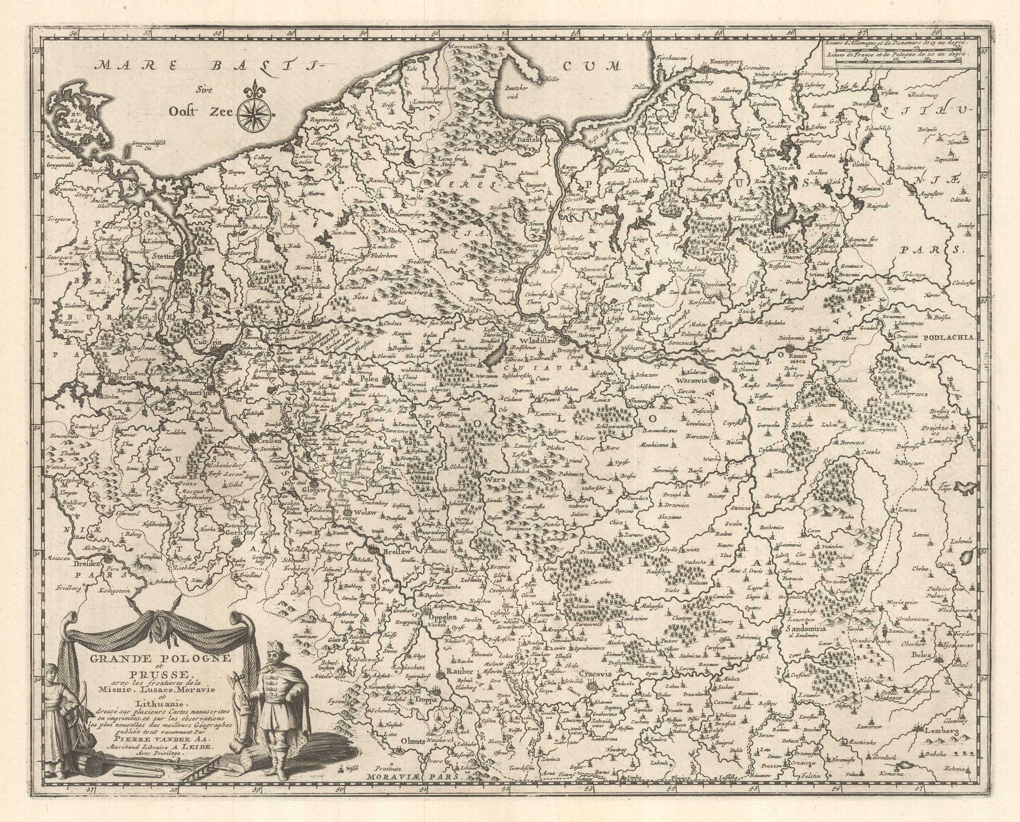


Scarce map of Poland & Prussia
Grande Pologne et Prusse avec les frontieres de la Misnie, Lusace, Moravie et Lithuanie ...
Leiden, 1729. 300 x 375mm.
£600.00
1 in stock
x
Question About This Item?
Scarce map of Poland & Prussia & AA, Pieter van der.Stock #: 25793"*" indicates required fields
Similar to Sell?
Add to Wishlist
Add to Wishlist
Description
A detailed map of Poland and Prussia, published in van der Aa'a monumental 'La Gallerie Agreable du Monde', issued in 66 parts.
Condition:
A good example.Related products
-

A 16th century miniature map of Silesia
LANGENES, Barent. Date: 1599Stock #: 21325 £160.00 -
Uncommon map of Poland with the First Partition
ZATTA, Antonio. Date: 1780Stock #: 13853 £160.00 -

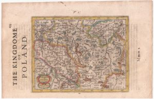
Poland from the first English Edition of the ‘Atlas Minor’
HONDIUS, Jodocus. Date: 1635Stock #: 22441 £180.00 -

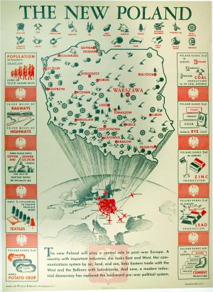
Pictorial map of the New Poland
POLISH EMBASSY. Date: 1946Stock #: 24889 £980.00 -

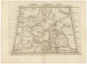
A 16th century map of eastern Europe according to Ptolemy
RUSCELLI, Girolamo. Date: 1599Stock #: 22245 £220.00 -

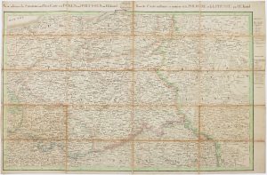
The Prussian and Russian occupation of the Duchy of Warsaw
KNITTEL, Johann Ernst. Date: 1812Stock #: 17231 £1,100.00 -

A 16th century miniature map of Oswiecim & Zator
LANGENES, Barent. Date: 1599Stock #: 21317 £110.00 -

The Battle of Burkersdorf during the Seven Years’ War
RASPE, Gabriel Nikolaus. Date: 1762Stock #: 12939 £250.00 -

A scarce 18th century map of the Polish-Lithuanian Commonwealth
NOLIN, Jean Baptiste jnr. Date: 1742Stock #: 24544 £950.00
Items by the same author
Add to Wishlist
Add to Wishlist
Add to Wishlist
Add to Wishlist
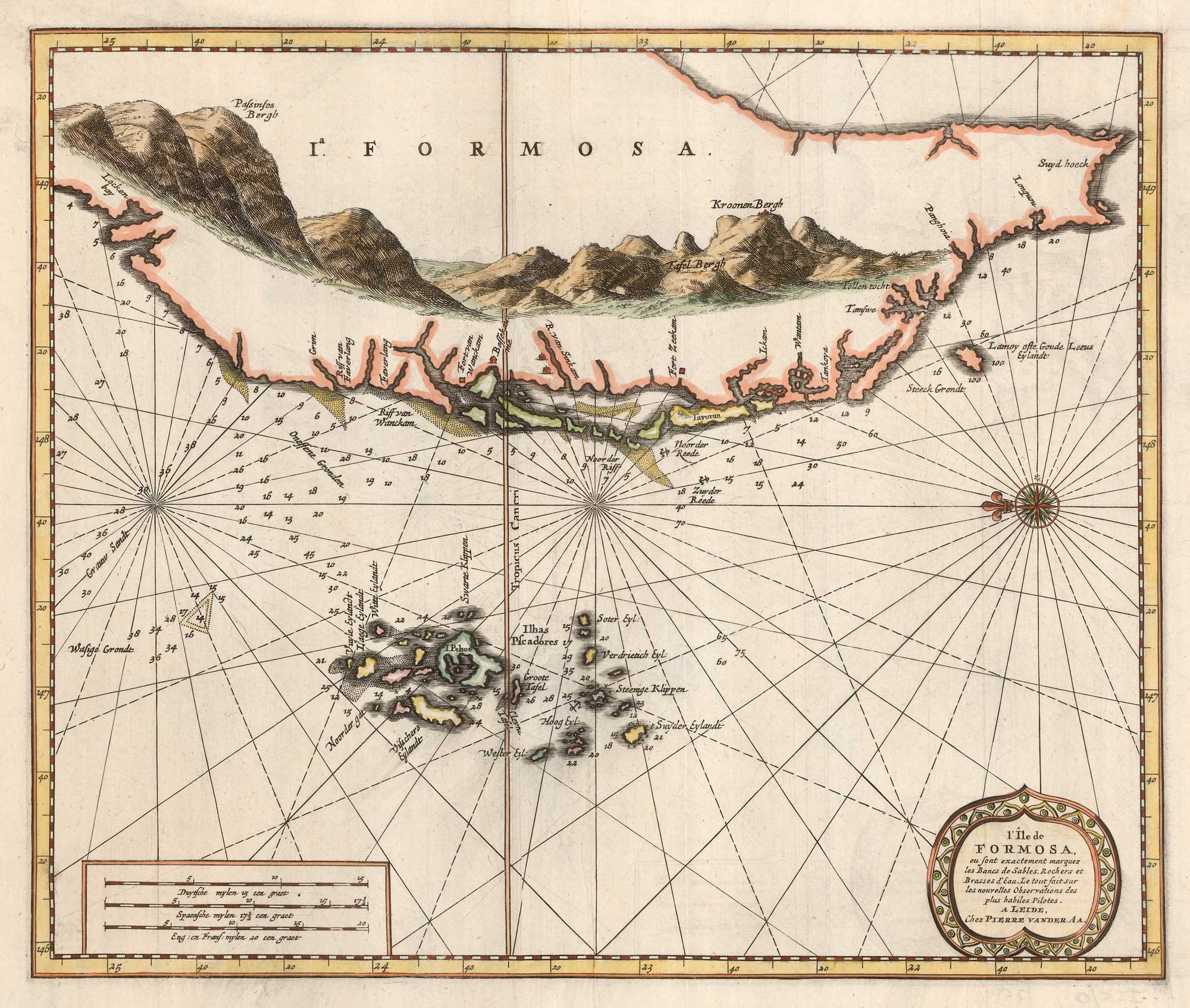
Scarce sea chart of Taiwan and the Pescadores
AA, Pieter van der. Date: 1713 Stock #: 25894 £1,250.00
Add to Wishlist
Add to Wishlist
Add to Wishlist
Add to Wishlist
Add to Wishlist
Add to Wishlist
Add to Wishlist
Add to Wishlist