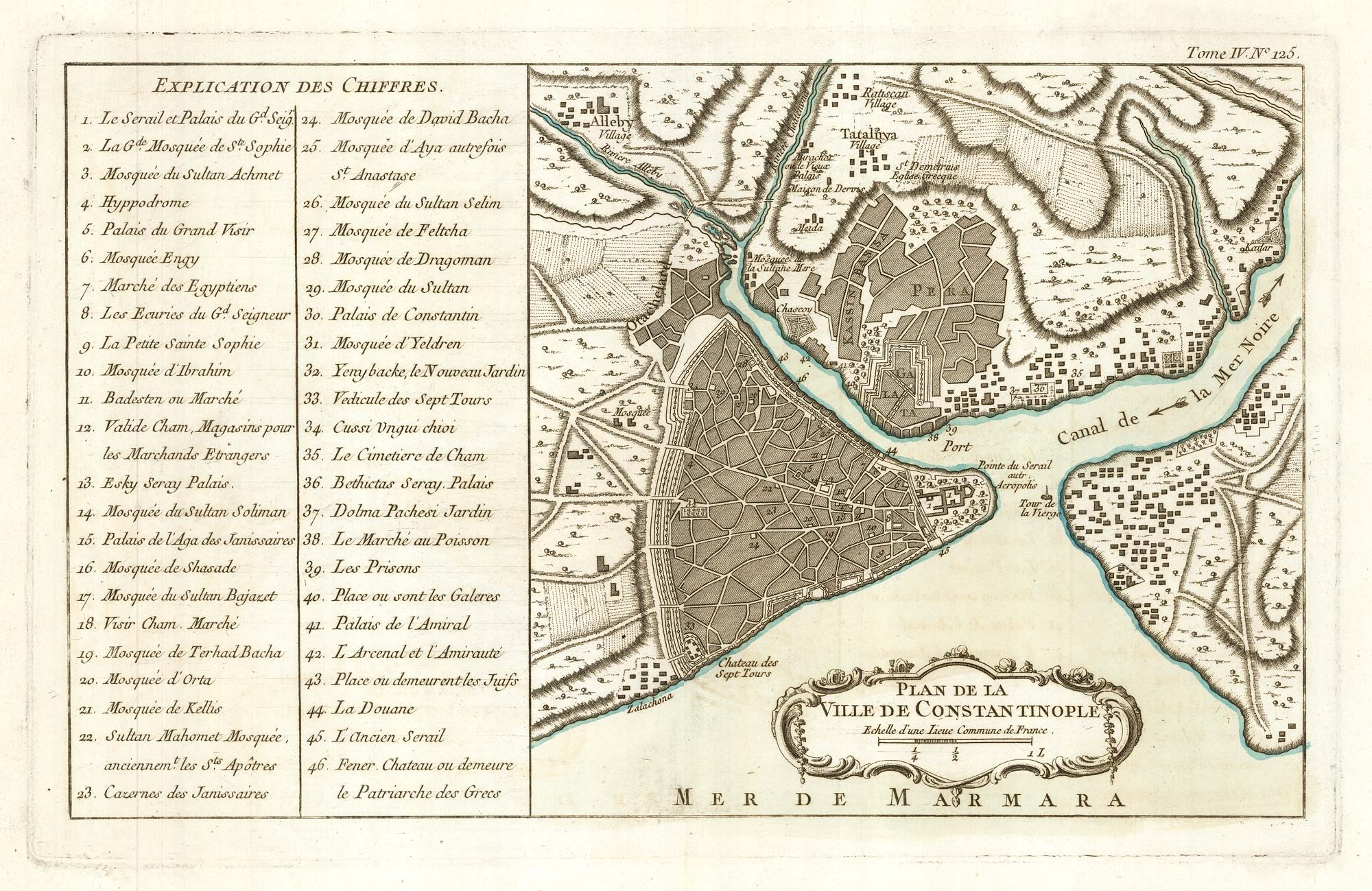


An 18th century map of Constantinople
Plan de la Ville de Constantinople.
Paris, 1764. Original colour. 230 x 370mm.
£280.00
1 in stock
x
Question About This Item?
An 18th century map of Constantinople & BELLIN, Jacques-Nicolas.Stock #: 22656"*" indicates required fields
Similar to Sell?
Add to Wishlist
Add to Wishlist
Description
A fine example of this map of Istanbul and Pera published in Bellin's scarce atlas 'Le petit atlas maritime', with a 46-point key.
Condition:
A good example.Related products
-

An important 16th century town plan of Constantinople
BRAUN, Georg & HOGENBERG, Frans. Date: 1574Stock #: 26414 £2,900.00 -

A scarce 17th century prospect of Constantinople
DE WIT, Frederick. Date: 1695Stock #: 26110 £3,600.00 -

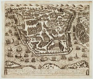
A scarce bird’s-eye view of Constantinople
Anonymous. Date: 1731Stock #: 16082 £1,200.00 -

Coronelli’s map of the Bosphorus from a Farnese Edition
CORONELLI, Vincenzo Maria. Date: 1697Stock #: 23857 £980.00 -

The Fall of Constantinople in 1493
BOETHIUS, Christoph. Date: 1700Stock #: 26678 £650.00 -

An early 19th century description of Constantinople
BERGK, Johann Adam. Date: 1807Stock #: 14457 £850.00 -

A folding chart of the environs of Constantinople
DUPUIS, Louis André. Date: 1785Stock #: 18384 £1,250.00 -

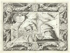
An unusual 18th century map of the environs of Constantinople
ANDELFINGER, Johann Jacob. Date: 1735Stock #: 26042 £1,600.00 -

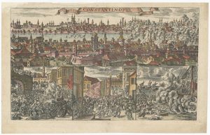
A prospect of 17th century Constantinople
AVELINE, Pierre A. Date: 1760Stock #: 26496 £1,800.00
Items by the same author
Add to Wishlist
Add to Wishlist
Add to Wishlist
Add to Wishlist
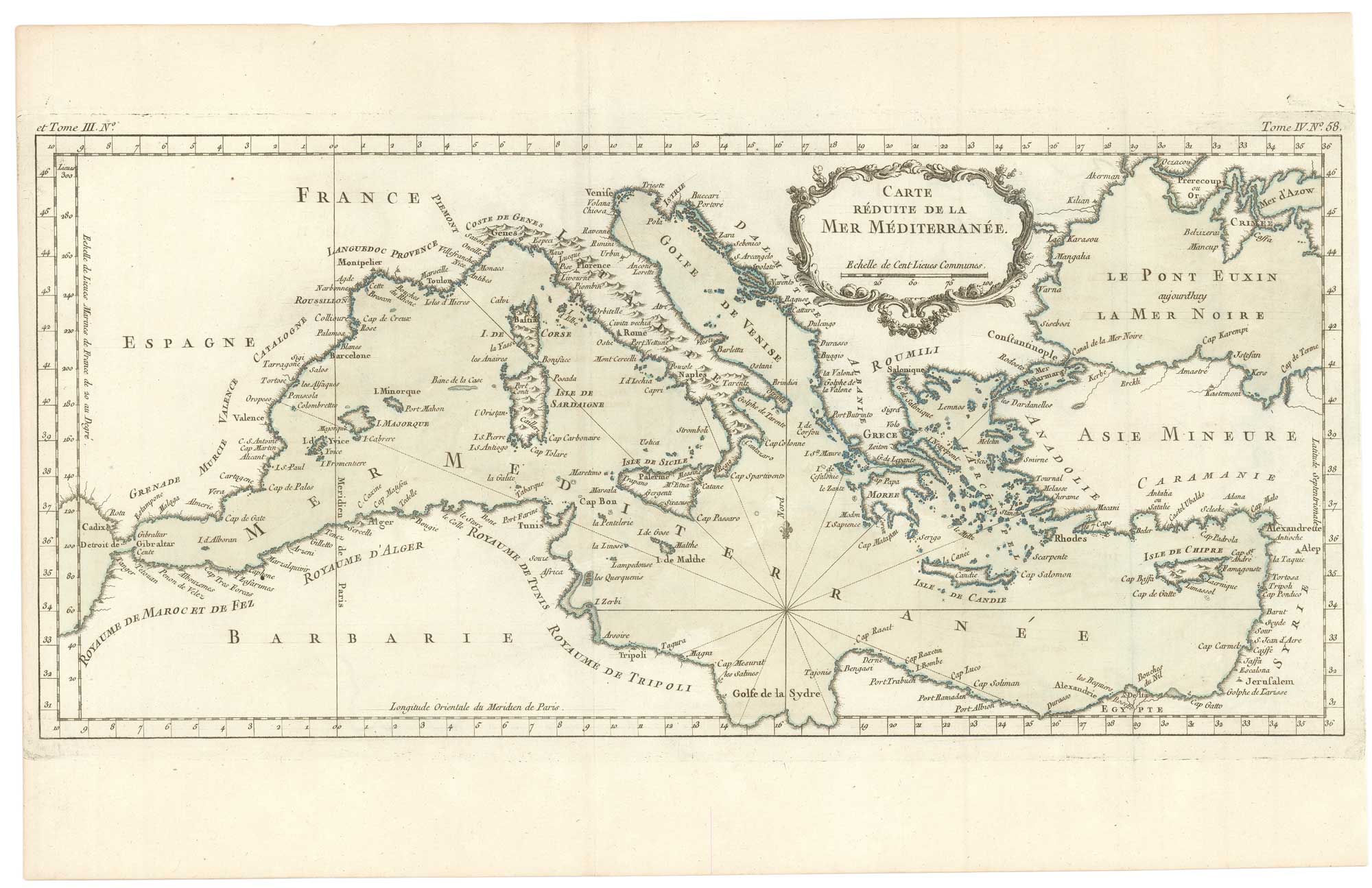
An uncommon 18th century chart of the Mediterranean Sea
BELLIN, Jacques-Nicolas. Date: 1764 Stock #: 26486 £200.00
Add to Wishlist
Add to Wishlist
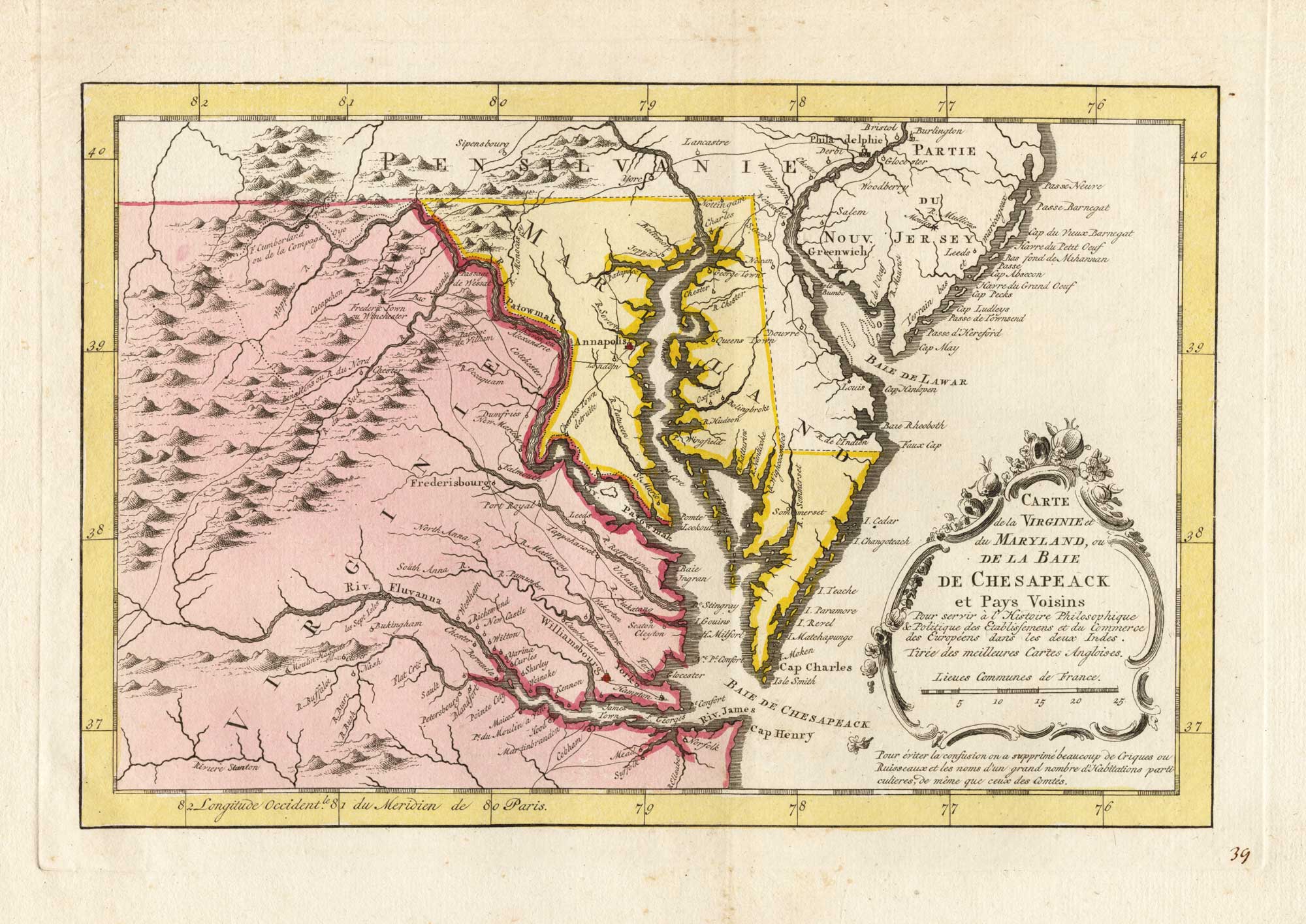
18th century map of the environs of Chesapeake Bay
BELLIN, Jacques-Nicolas. Date: 1773 Stock #: 25489 £400.00
Add to Wishlist
Add to Wishlist
Add to Wishlist
Add to Wishlist

Add to Wishlist
Add to Wishlist