

A large chart of Jamaica
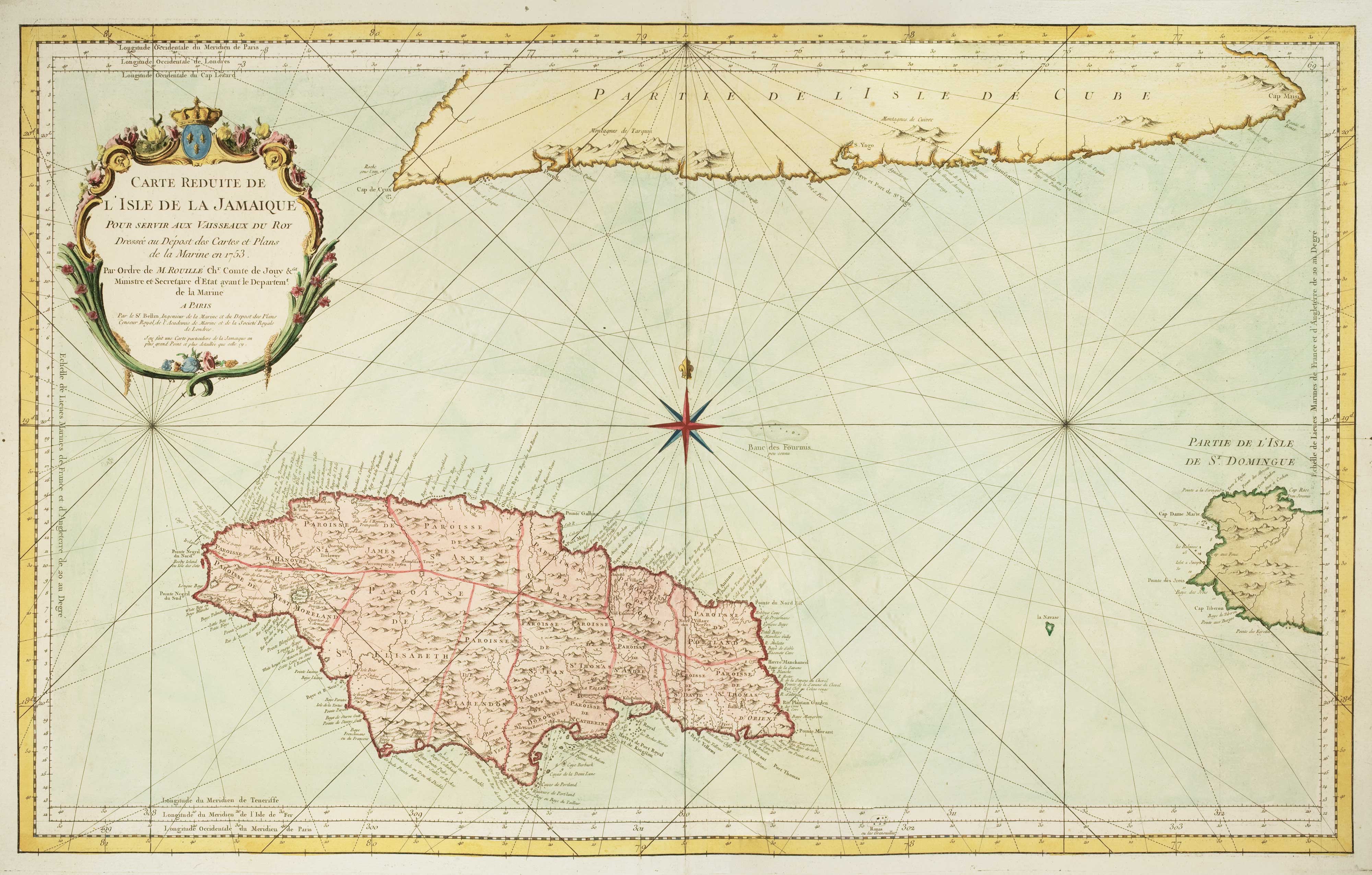
Carte Reduite de L'Isle de La Jamaique...
Paris, c.1753. Coloured. 570 x 910mm.
x
Question About This Item?
A large chart of Jamaica & BELLIN, Jacques-Nicolas.Stock #: 10124"*" indicates required fields
Similar to Sell?
Add to Wishlist
Add to Wishlist
Description
A large and detailed map of Jamaica showing its main towns and geographical features and its relation to Cuba and Santo Domingo, with a wind rose and rhumb lines and an attractive Rococo title cartouche.
Condition:
A good example.Related products
-

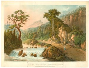
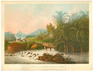
Uncommon view of the river Cobre in Jamaica
BELANGER, Louis. Date: 1800Stock #: 24735 £1,500.00 -

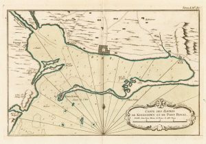
Map of Kingston in Jamaica
BELLIN, Jacques-Nicolas. Date: 1764Stock #: 23713 £175.00 -

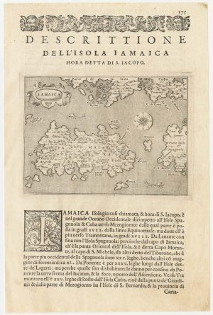
A 16th century map of Jamaica
PORCACCHI, Tomaso. Date: 1590Stock #: 23216 £190.00 -

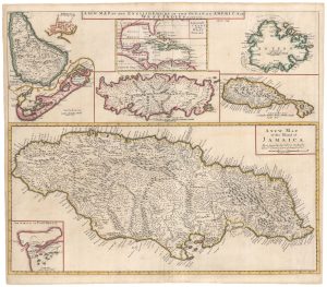
The English possessions in the West Indies
SENEX, John. Date: 1721Stock #: 23423 £850.00 -

An uncommon view of the Roaring River in Jamaica
BELANGER, Louis. Date: 1800Stock #: 25035 £1,500.00 -
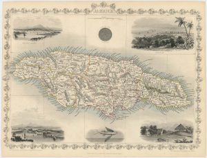
Detailed map of Jamaica with vignettes
TALLIS, John. Date: 1851Stock #: 18532 £140.00 -

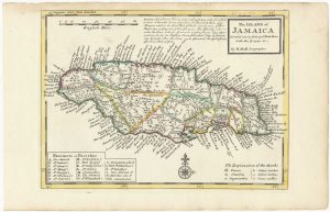
18th century English map of Jamaica
MOLL, Herman. Date: 1732Stock #: 25666 £250.00 -

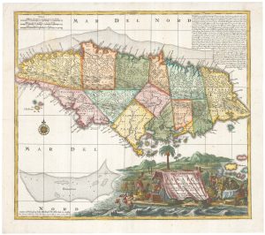
A decorative 20th century map of Jamaica
SEUTTER, Matthaus. Date: 1770Stock #: 9614 £475.00 -

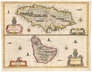
17th century maps of of two British possessions in the West Indies
SPEED, John. Date: 1676Stock #: 23798 £850.00
Items by the same author
Add to Wishlist
Add to Wishlist
Add to Wishlist
Add to Wishlist
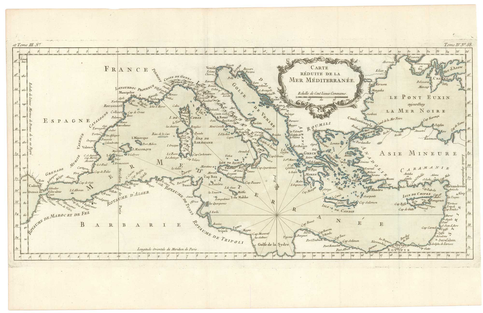
An uncommon 18th century chart of the Mediterranean Sea
BELLIN, Jacques-Nicolas. Date: 1764 Stock #: 26486 £200.00
Add to Wishlist
Add to Wishlist
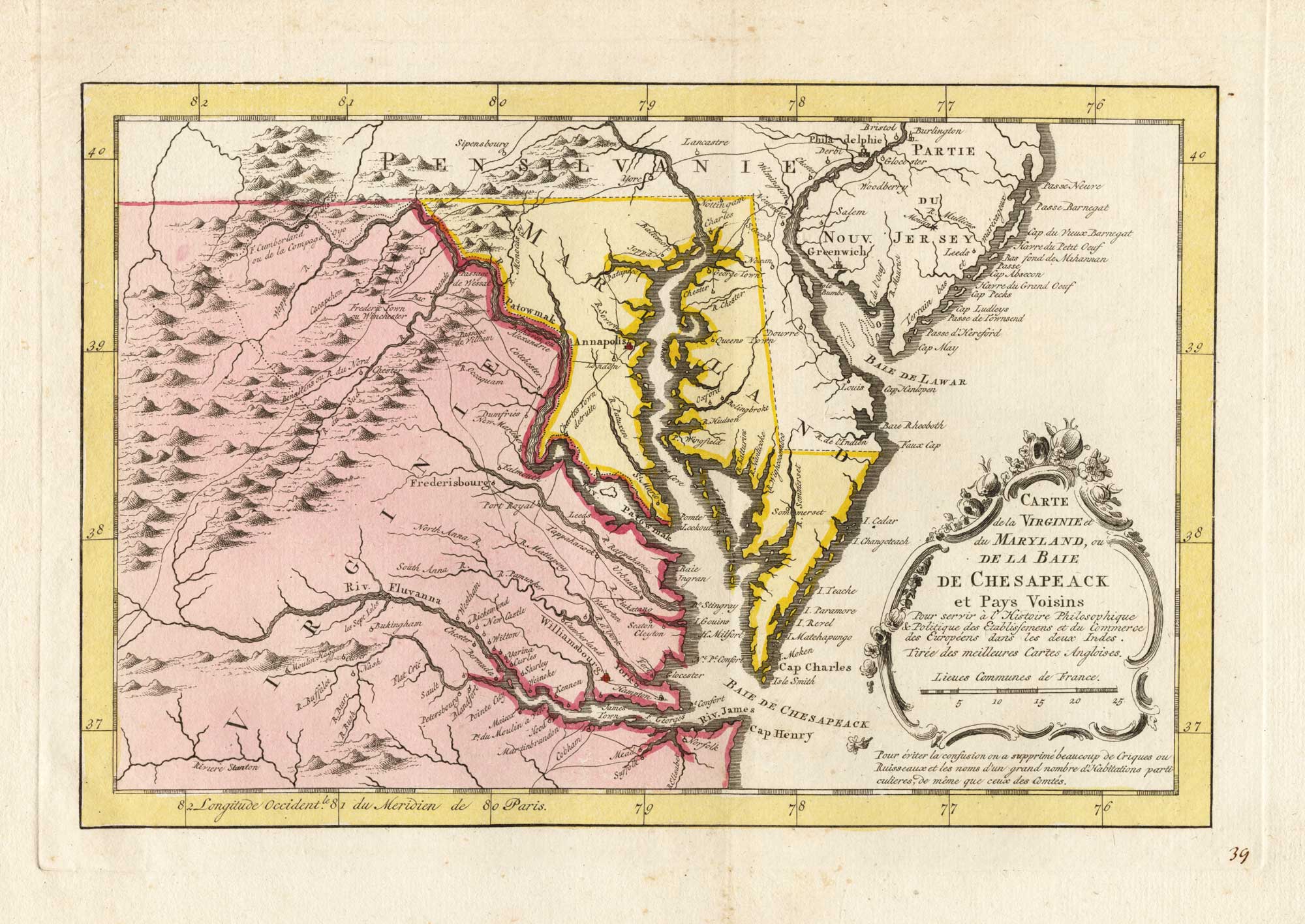
18th century map of the environs of Chesapeake Bay
BELLIN, Jacques-Nicolas. Date: 1773 Stock #: 25489 £400.00
Add to Wishlist
Add to Wishlist
Add to Wishlist
Add to Wishlist

Add to Wishlist
Add to Wishlist